New England Coastal Rain Arrives as Cold Air Spreads East
Northeast
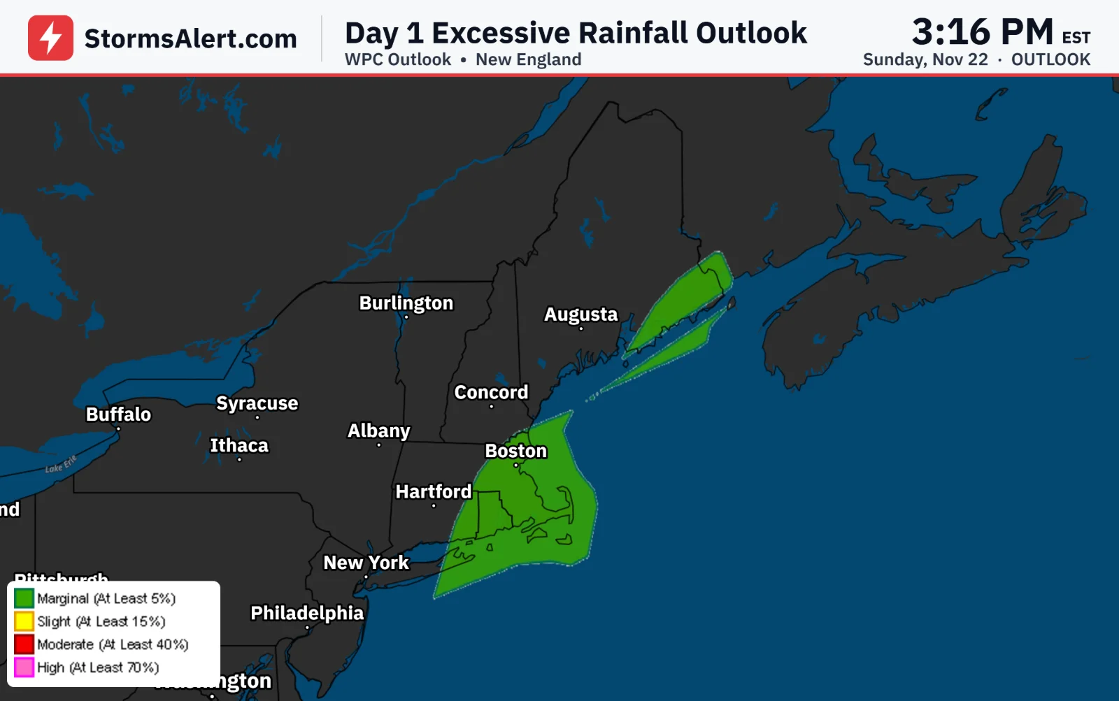
An area of low pressure tracking up the East Coast will bring moderate to locally heavy rain across New England tonight and into Monday morning. The heaviest totals are expected along the coastal plain, where some nuisance street flooding is possible during the Monday morning commute. The rain will be welcome in northern New England and Maine, where ongoing drought has left water supplies low. Gusty winds will accompany the system, and the rain should taper off by Monday afternoon as drier air moves in.
Mid-Atlantic Coasts
Large waves and high astronomical tides ahead of Tuesday's full moon may cause minor coastal flooding at times along the Mid-Atlantic and Southeast coasts. Beach erosion and ocean overwash are possible on the Outer Banks.
Southeast
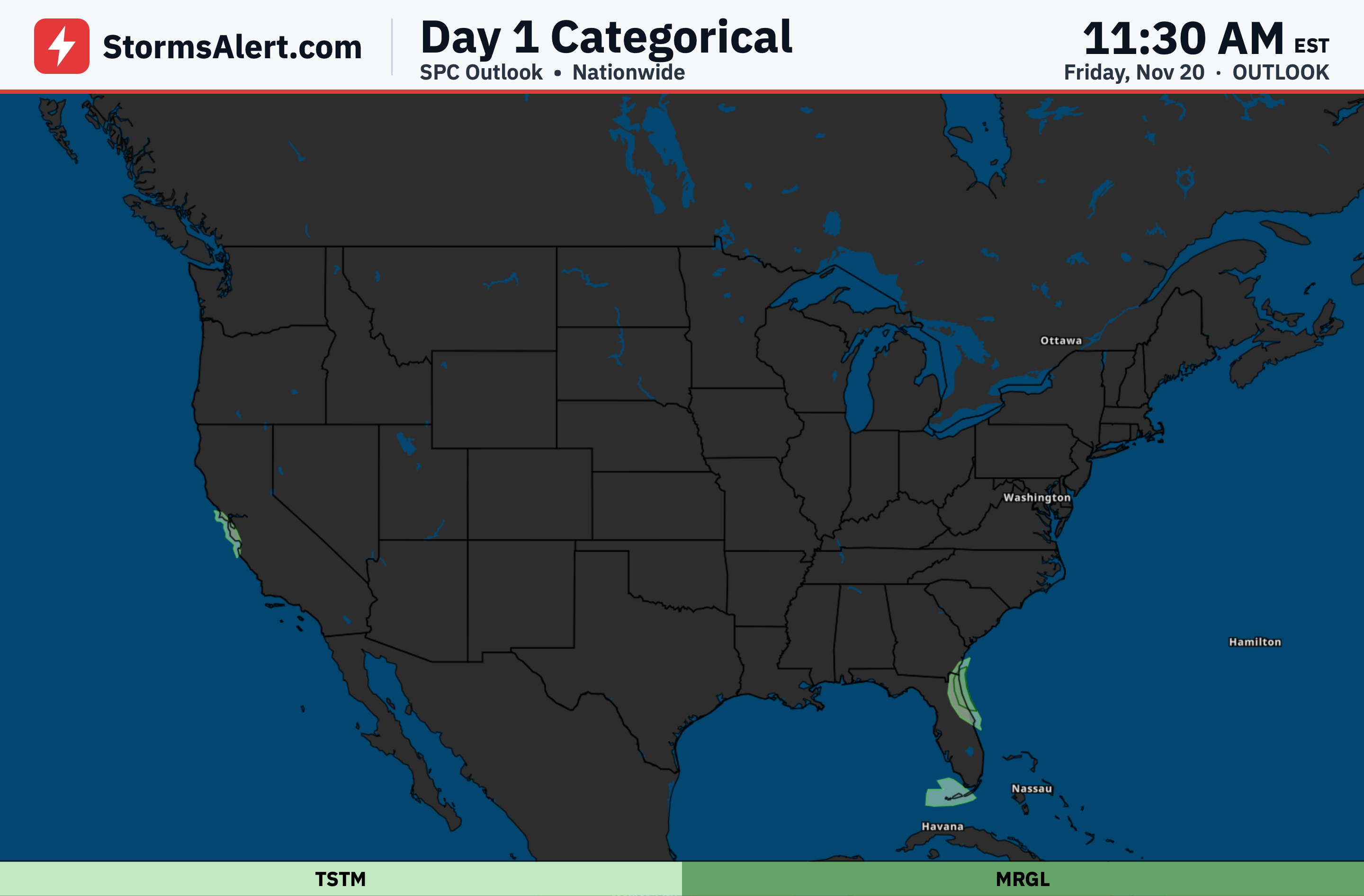
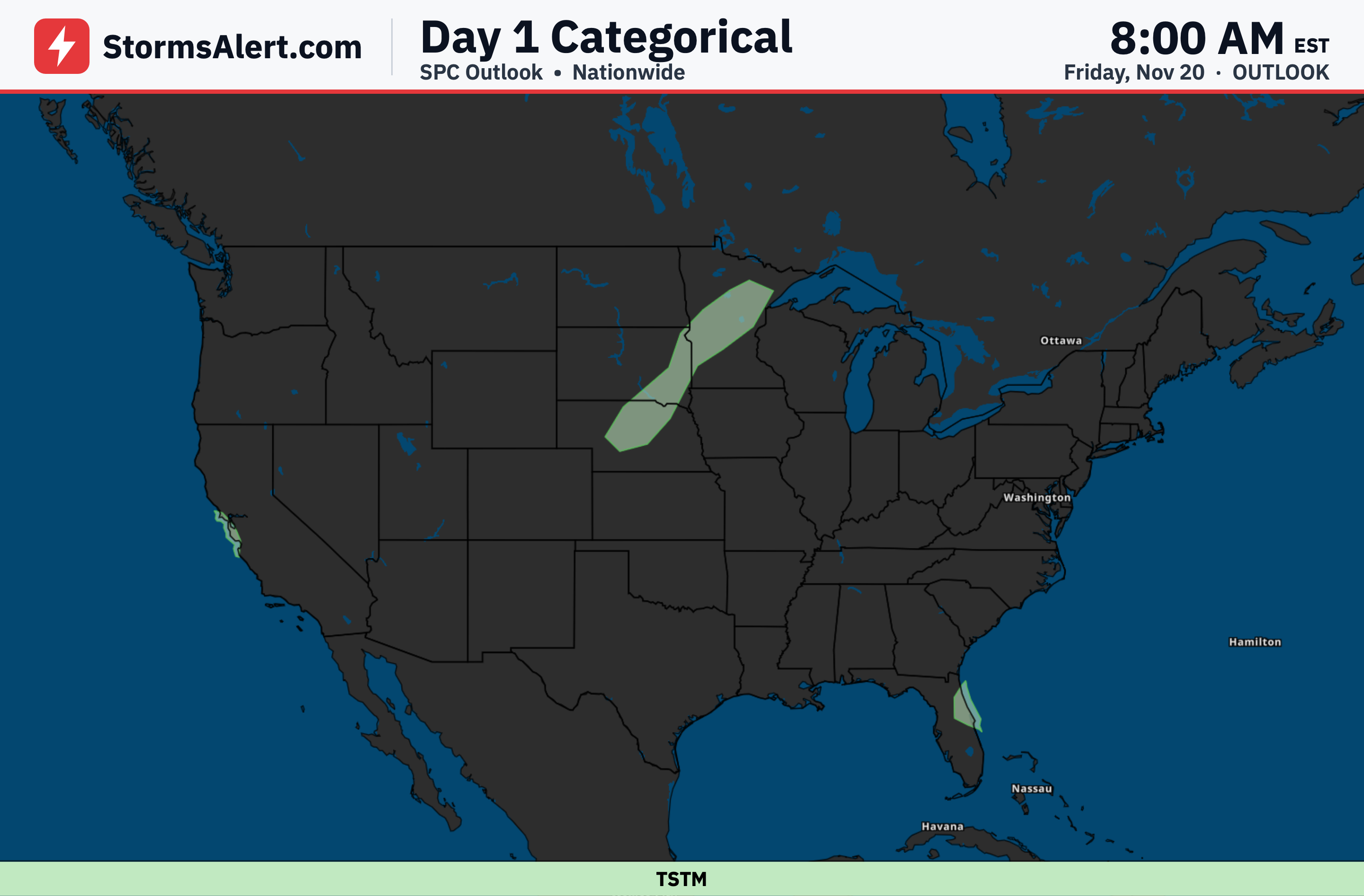
A strong cold front will sweep through the Ohio and Tennessee Valleys and the Southeast tonight and Monday, with scattered showers and thunderstorms expected along the front. Much colder air will follow behind it, and rain will taper off across the East by Monday afternoon.
Great Lakes
Cold northwest winds crossing the Great Lakes will produce lake-effect snow showers on Monday. Light accumulations are expected in the favored snowbelts of the Upper Peninsula of Michigan and northern Wisconsin.
Midwest
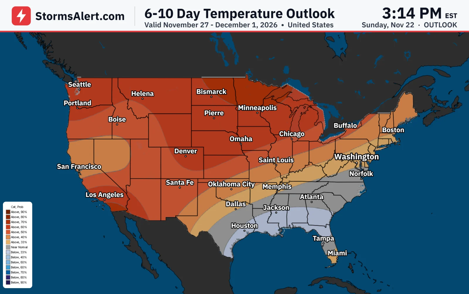
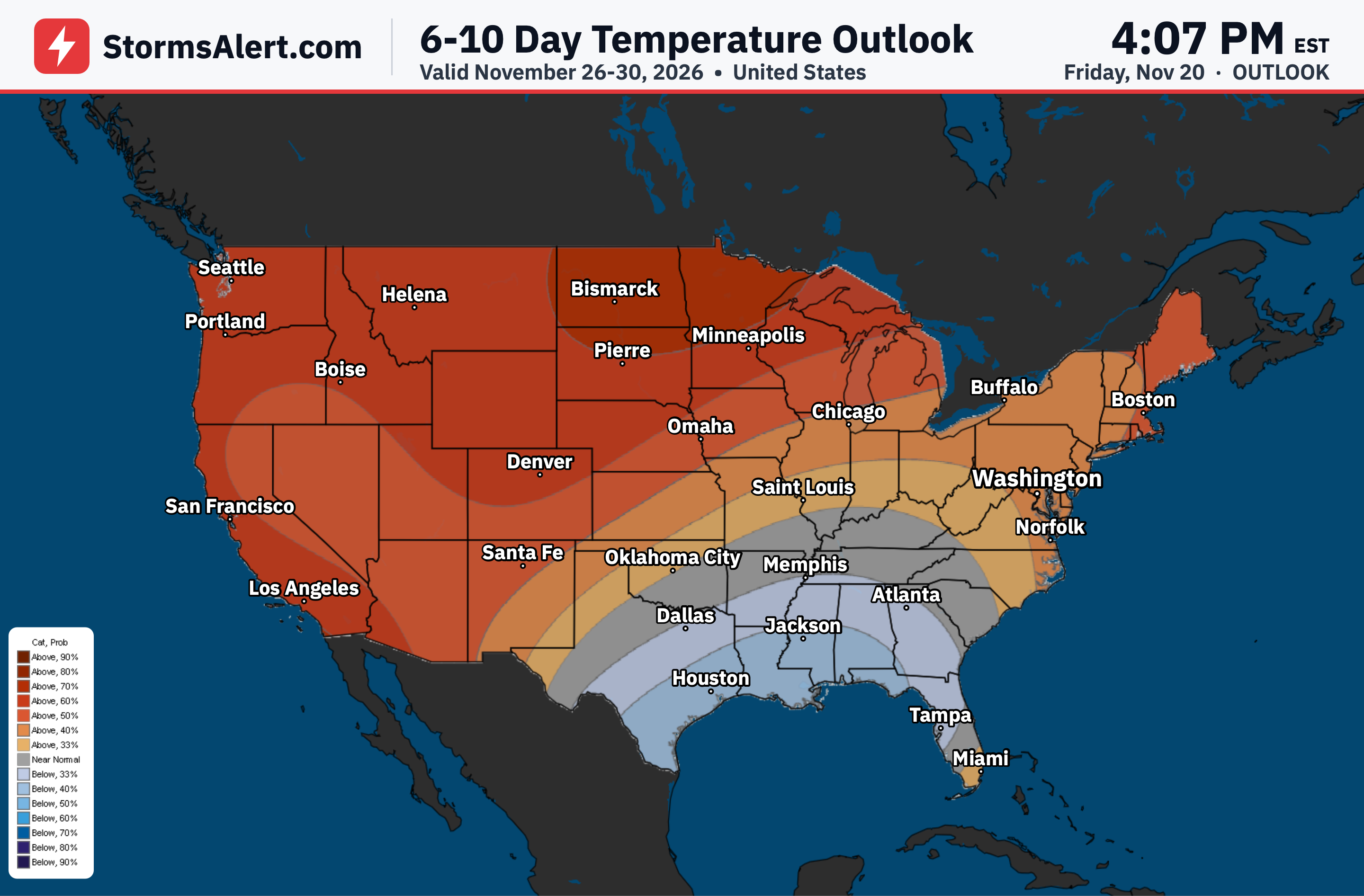
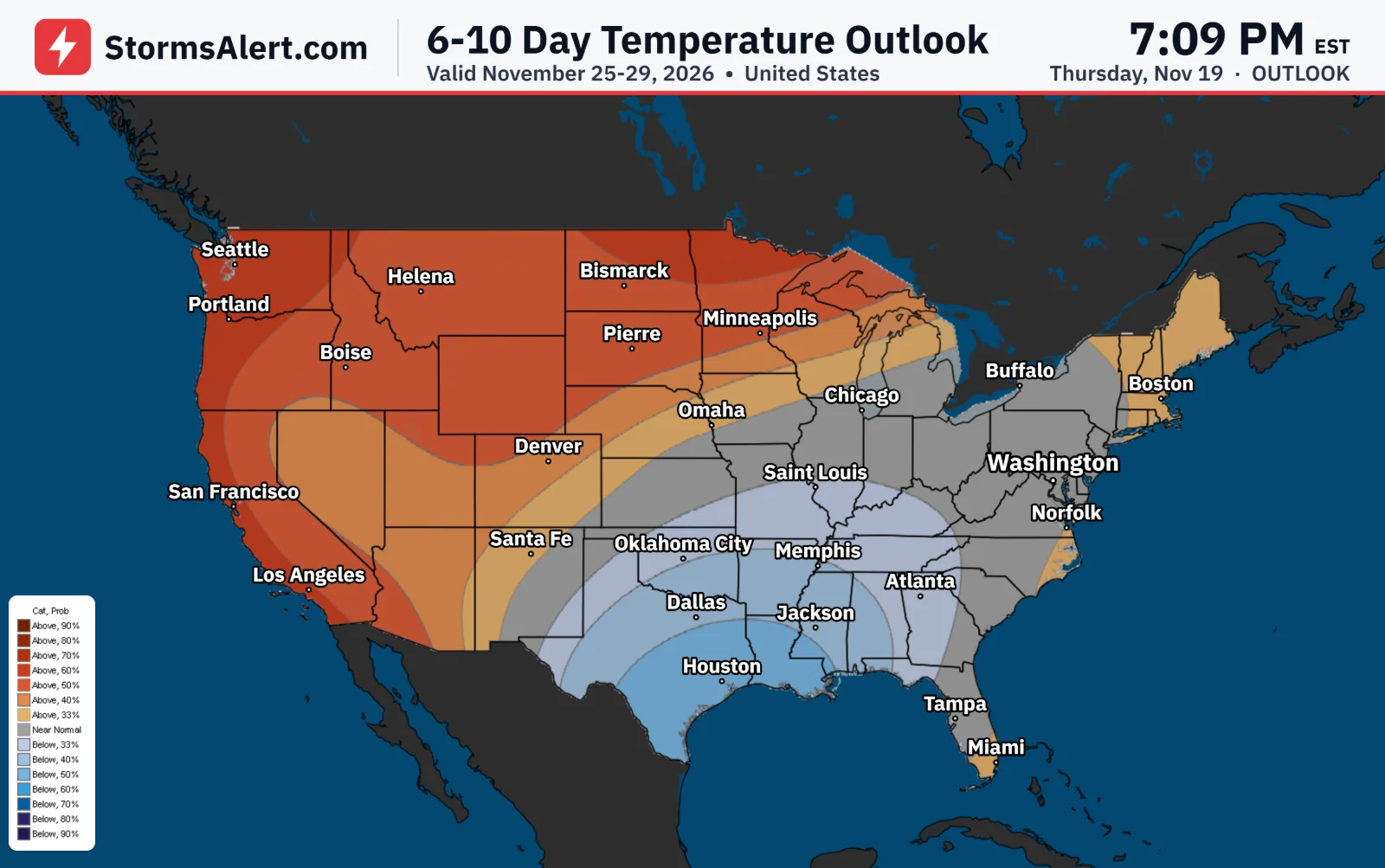
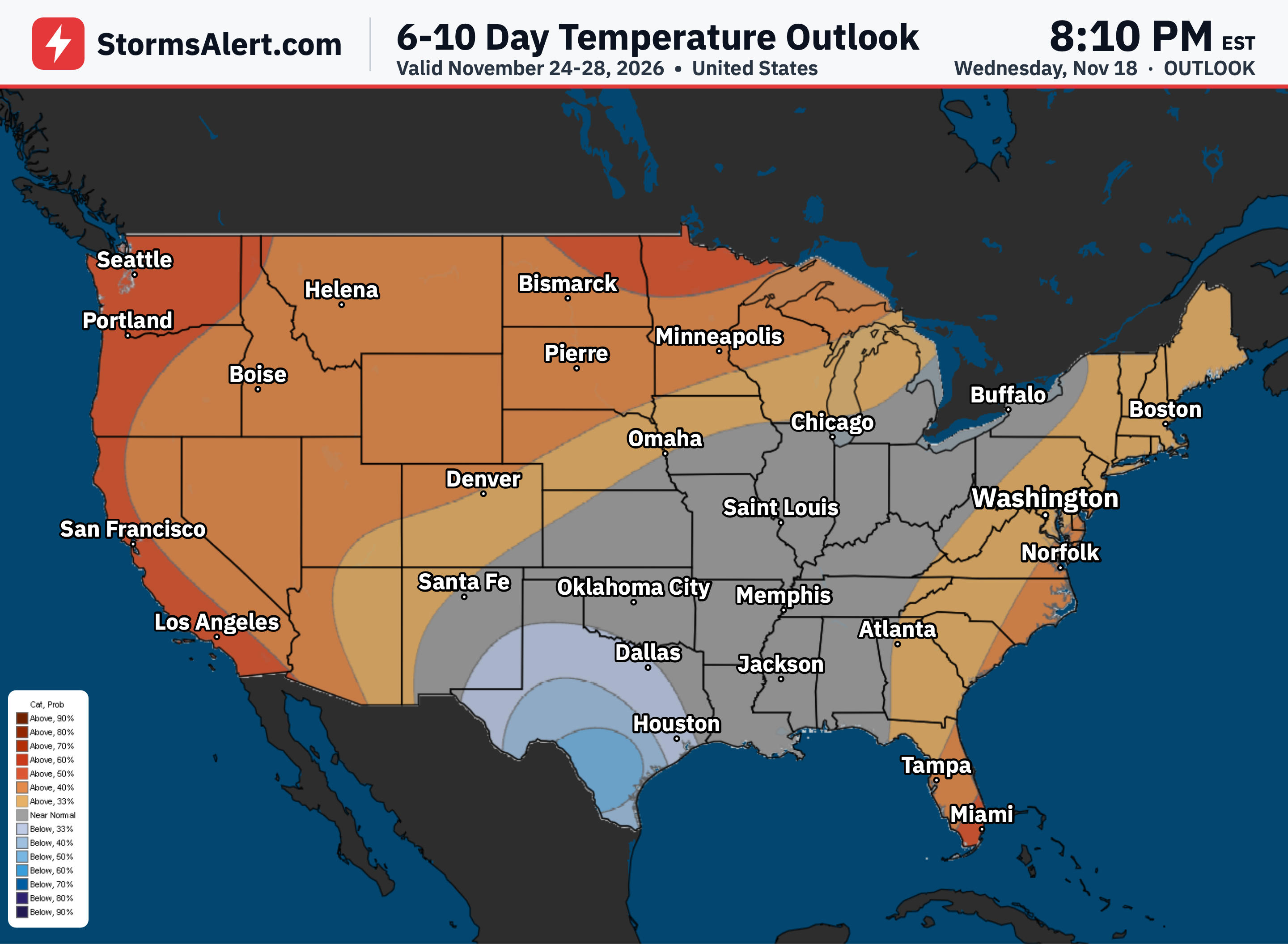
A much colder air mass will settle over the central and eastern U.S. into midweek, with highs mainly in the 30s and 40s across the Midwest.
Southern Plains
The cold air will bring the first freeze of the season to parts of west and north Texas, and hard freezes are possible across Oklahoma by Tuesday night. A fast-moving disturbance may also bring light snow and a wintry mix to New Mexico and the southern High Plains Monday night into Tuesday morning, with slick spots possible.
Pacific Northwest
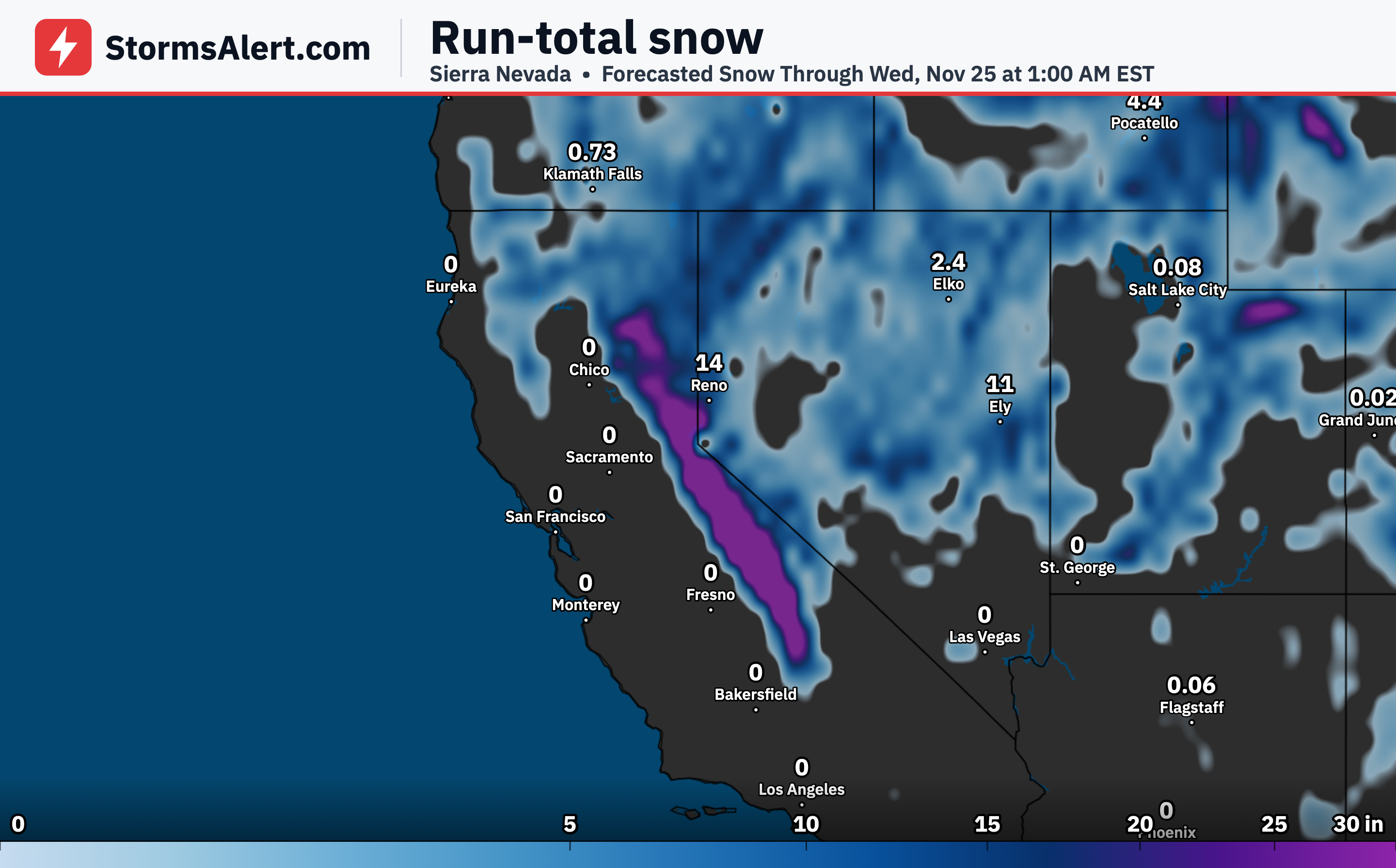
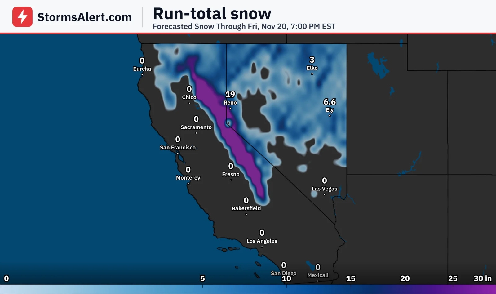
A series of Pacific systems will keep unsettled weather going across the Pacific Northwest and northern California. A stronger system arrives Tuesday with widespread rain, mountain snow, gusty coastal winds, and high surf. Snow will make travel difficult over Cascade passes at times, and very high astronomical tides combined with these storms will increase the risk of coastal flooding along the Washington coast and around San Francisco Bay this week, with major to extreme coastal flooding possible later in the week.
Eastern Outlook
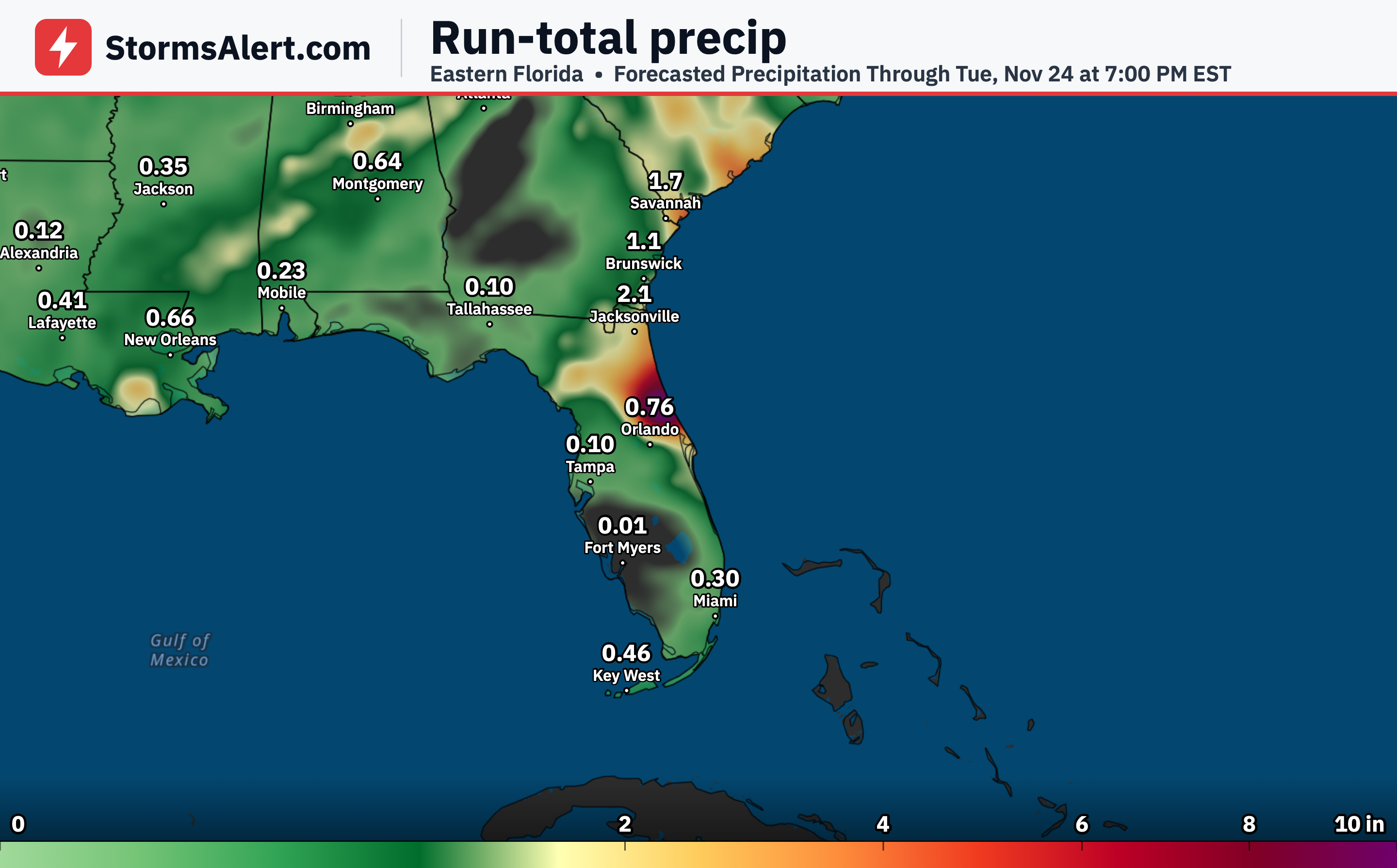
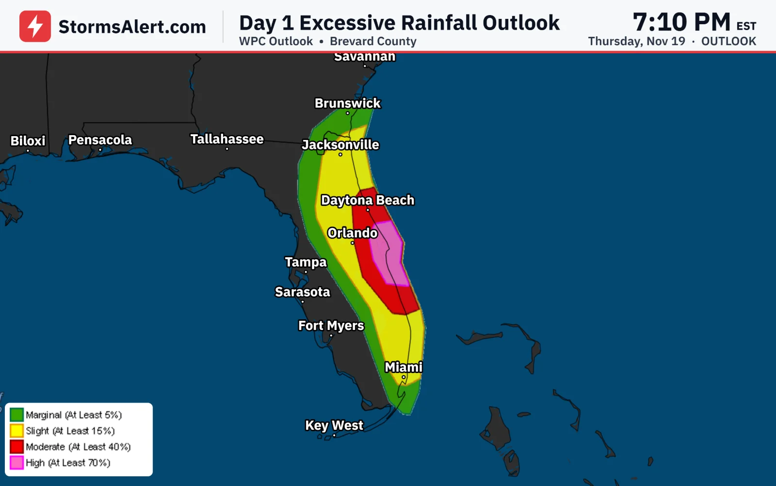
Rain will spread into the Gulf Coast and Southeast Tuesday night ahead of a developing storm system. That system is expected to bring heavy rain, strong winds, coastal flooding, and some wintry weather to parts of the East around Thanksgiving. Travelers should closely monitor the forecast.