High Flash Flood Risk Continues in Florida on Friday
Brevard County
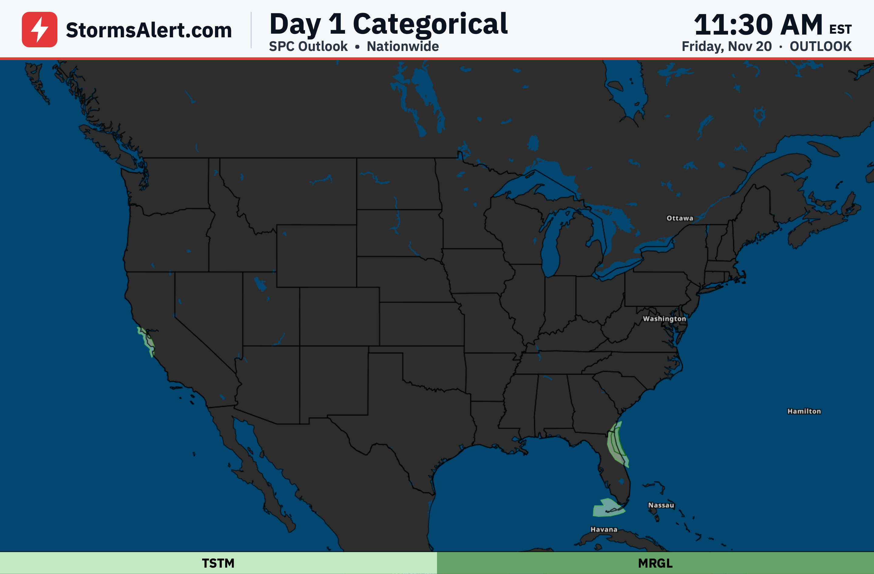
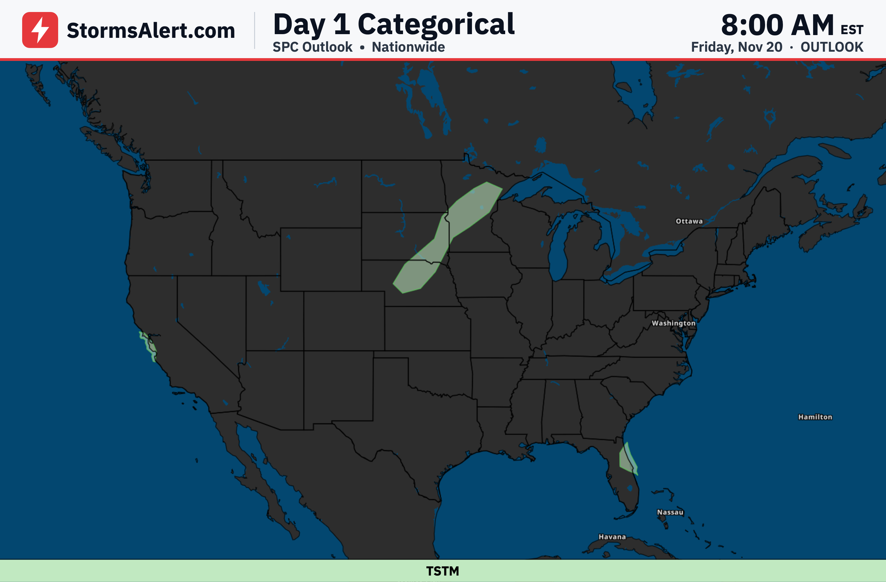
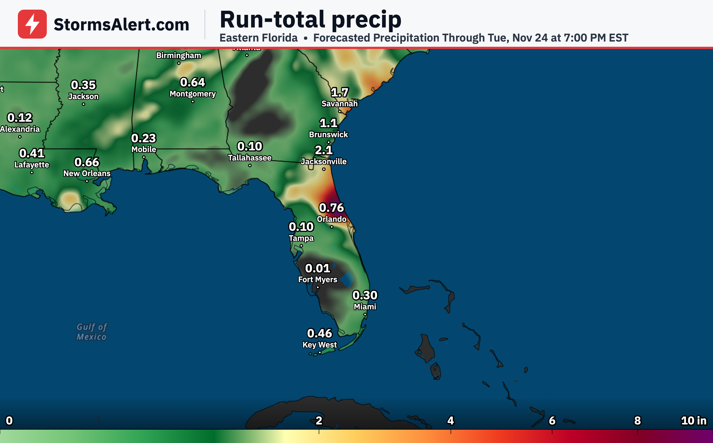
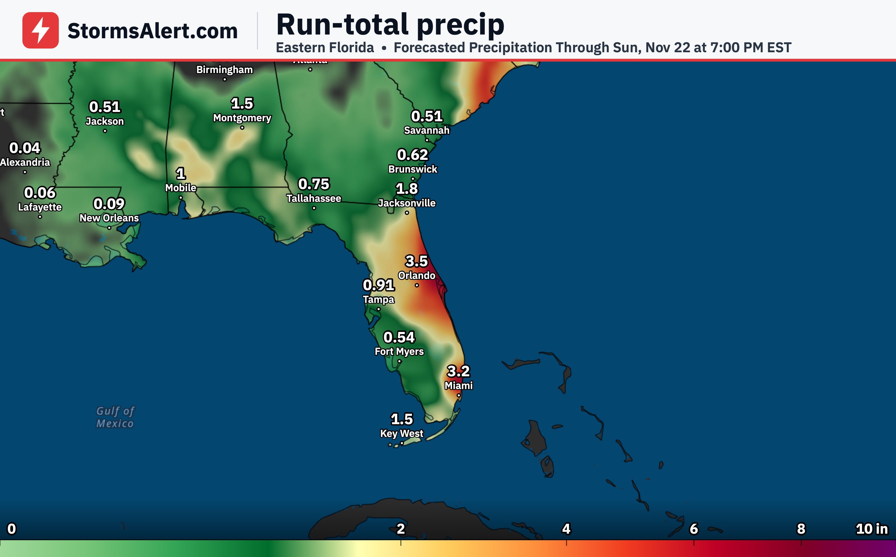
Thursday, November 19th, into early Friday, November 20th brings a High Risk of excessive rainfall for Brevard County in Florida, meaning widespread and potentially dangerous flash flooding is expected. Ongoing impacts already include water rescues, numerous streets flooded, and water entering homes from this long-duration heavy rainfall event. The rain is expected to continue across this area through the rest of the day, tonight, and into tomorrow. Never drive through flooded roads.
East Central Florida
The High Risk in Brevard County on Thursday, November 19th, into early Friday stems entirely from the continuation of very long-duration steady rainfall, even though rates are not expected to be especially high at any point. Any and all rainfall in this area will have nowhere to go except to worsen already all-time-record breaking flooding. The rain may briefly include storms producing multiple-inch-per-hour rates, but the steady nature is what continues to elevate the threat. Residents should stay alert as conditions worsen through the night.
South Florida
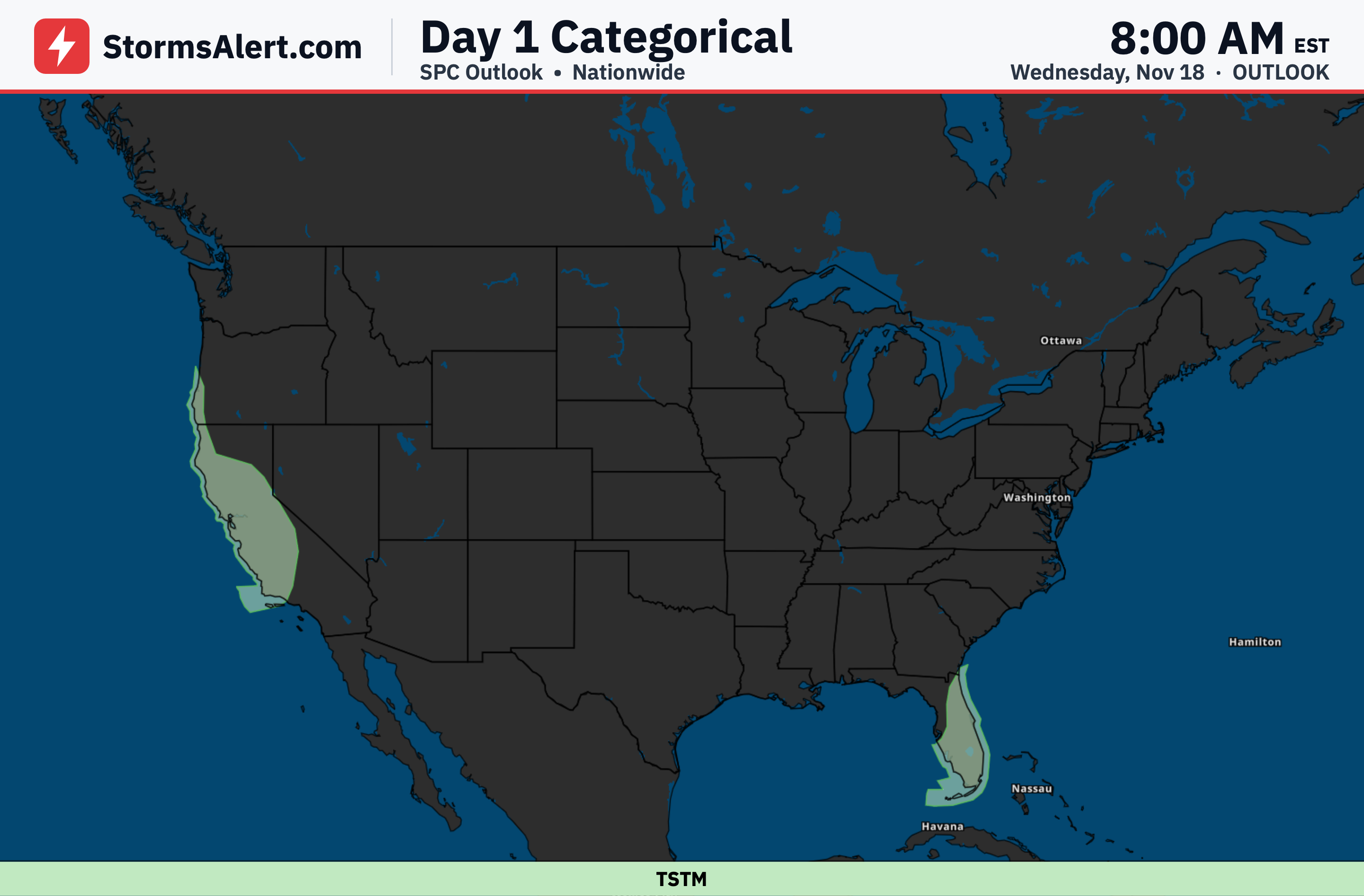
Along the east coast of Florida from West Palm to Fort Lauderdale on Thursday, November 19th, into early Friday, the corridor will need to be monitored for additional heavy rain. Nearly stationary storms are occasionally producing 1 inch per hour rainfall rates, though so far they have been relatively brief despite higher levels of instability farther south. No other significant changes were made elsewhere in Florida. Watch for localized flooding on streets and low-lying areas.
California Coast
In California on Thursday, November 19th, into early Friday, the Slight Risk was trimmed from Point Conception to Oxnard as the heaviest and steadiest rainfall has pushed east from that area. A Marginal Risk remains in place, meaning isolated flash flooding is possible, with occasional storms locally producing rates up to three-quarters of an inch per hour through the afternoon. Low water crossings and small creeks could see brief issues in spots.
Florida East Coast
Additional monitoring may be needed as the situation along the east coast of Florida evolves on Thursday, November 19th, into early Friday, November 20th. The persistent rainfall continues to pose threats where the ground is already soaked, particularly in Brevard County where flooding is already severe. Stay clear of flooded areas and have a plan to move to higher ground if water rises near homes or roads. The threat eases only after the rain finally diminishes into Friday morning.