Extreme Sierra Snowfall Brings Major Travel Impacts Through Thursday
Sierra Nevada
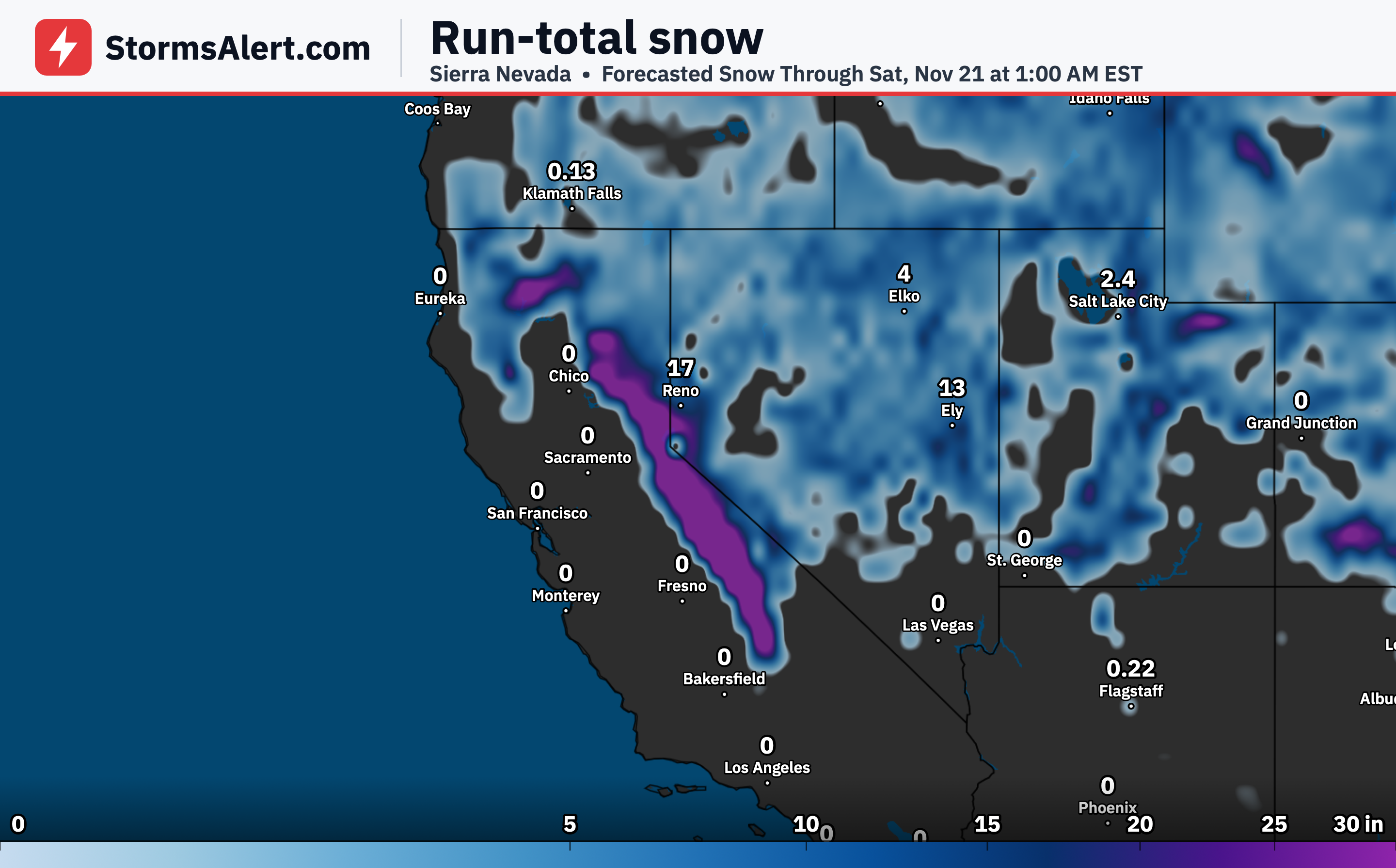
An impressive early-season snowfall event will bring extreme impacts to the Sierra this week. Snowfall rates are expected to reach two to three inches per hour at times from early Wednesday through Thursday afternoon. There is a greater than 90 percent chance of more than 18 inches, with as much as five feet possible in the high Sierra. Strong winds will make travel nearly impossible at times across all Sierra passes.
Northern California
The Shasta and Trinity region of northern California will also see major impacts from the same system. Near Mount Shasta totals could reach three feet, and there is a 20 to 30 percent chance of extreme impacts. Mountain passes will face significant snow and wind-driven problems beginning late Wednesday.
Utah Ranges
Today through Wednesday the heaviest snow focuses on higher elevations of the Wasatch and Uinta ranges. There is an above 70 percent chance of at least six inches, with locally more than a foot possible above 7,000 feet. Snow levels will drop rapidly behind the front, allowing some accumulation even in elevated valleys.
Wyoming Mountains
The Wind River, Teton and Absaroka ranges will also pick up heavy snow today into Wednesday. Similar high chances of at least six inches exist in the higher terrain, with locally higher amounts possible. Travel over mountain roads may become difficult.
Idaho Mountains
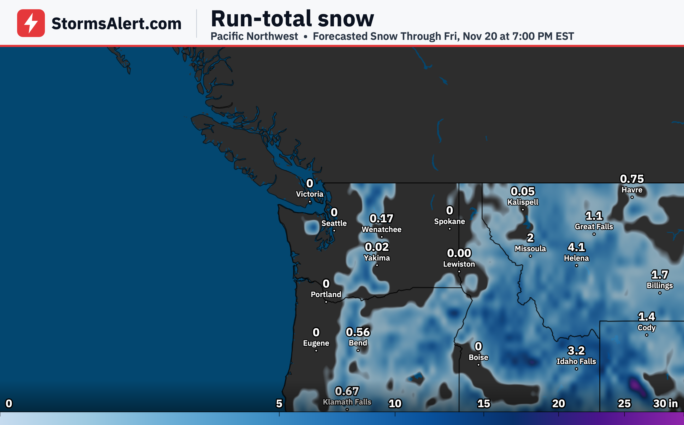
By Thursday and Friday heavy snow exceeding six inches is likely across the higher elevations of the Sawtooth and Salmon River area of Idaho as moisture shifts northeast. Mountain travel could face renewed impacts.
Northern Rockies
Widespread precipitation will reach the Northern Rockies by Wednesday. Higher terrain will see the bulk of the accumulating snow as levels fall, with some light amounts possible in elevated valleys.
Northern High Plains
On Wednesday a broader area of rain and snow will lift into the Northern High Plains. Some hazardous travel is possible early Wednesday along major routes in Montana, with a 10 to 50 percent chance of at least two inches of snow in spots.
Great Basin
Higher elevations across Nevada, including the Ruby Mountains, will see at least six inches of snow today with locally more than a foot possible. Additional heavy snow exceeding six inches is likely again on Thursday and Friday as the system continues to move through.