Flash Flood Concerns Rise Tuesday in Florida and the Southwest With Western Mountain Snow
Pacific Northwest
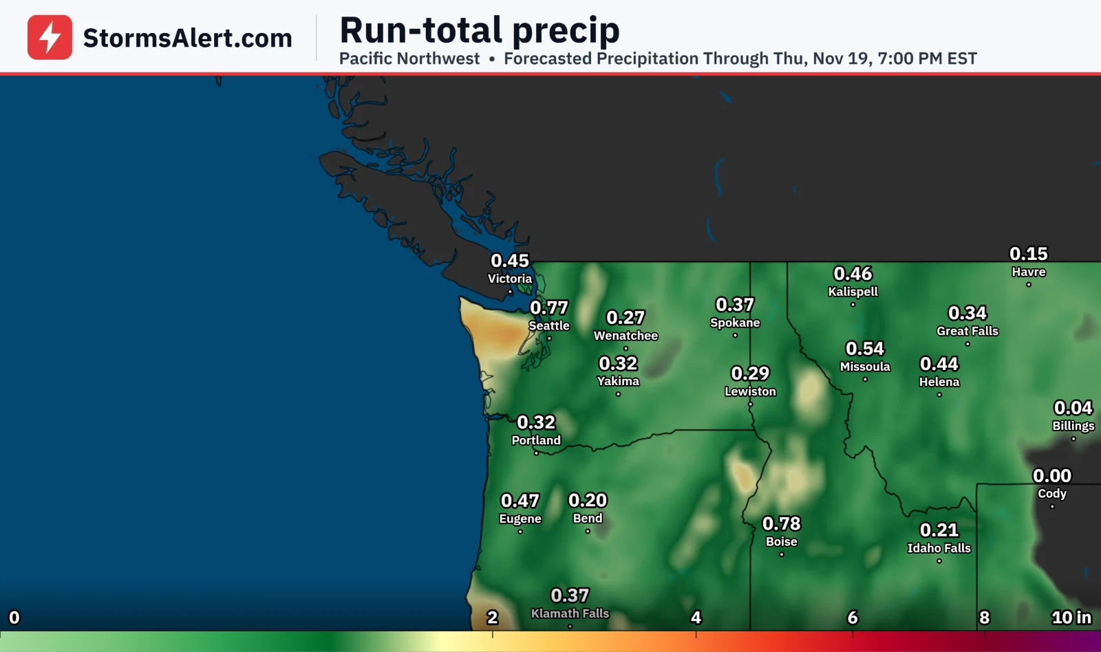
An approaching system will bring periods of rain to the Pacific Northwest along with mountain snow. Lowering snow levels support moderate to heavy snow into early Tuesday across the Cascades and Olympics, which could affect travel safety over the higher passes.
Sierra Nevada
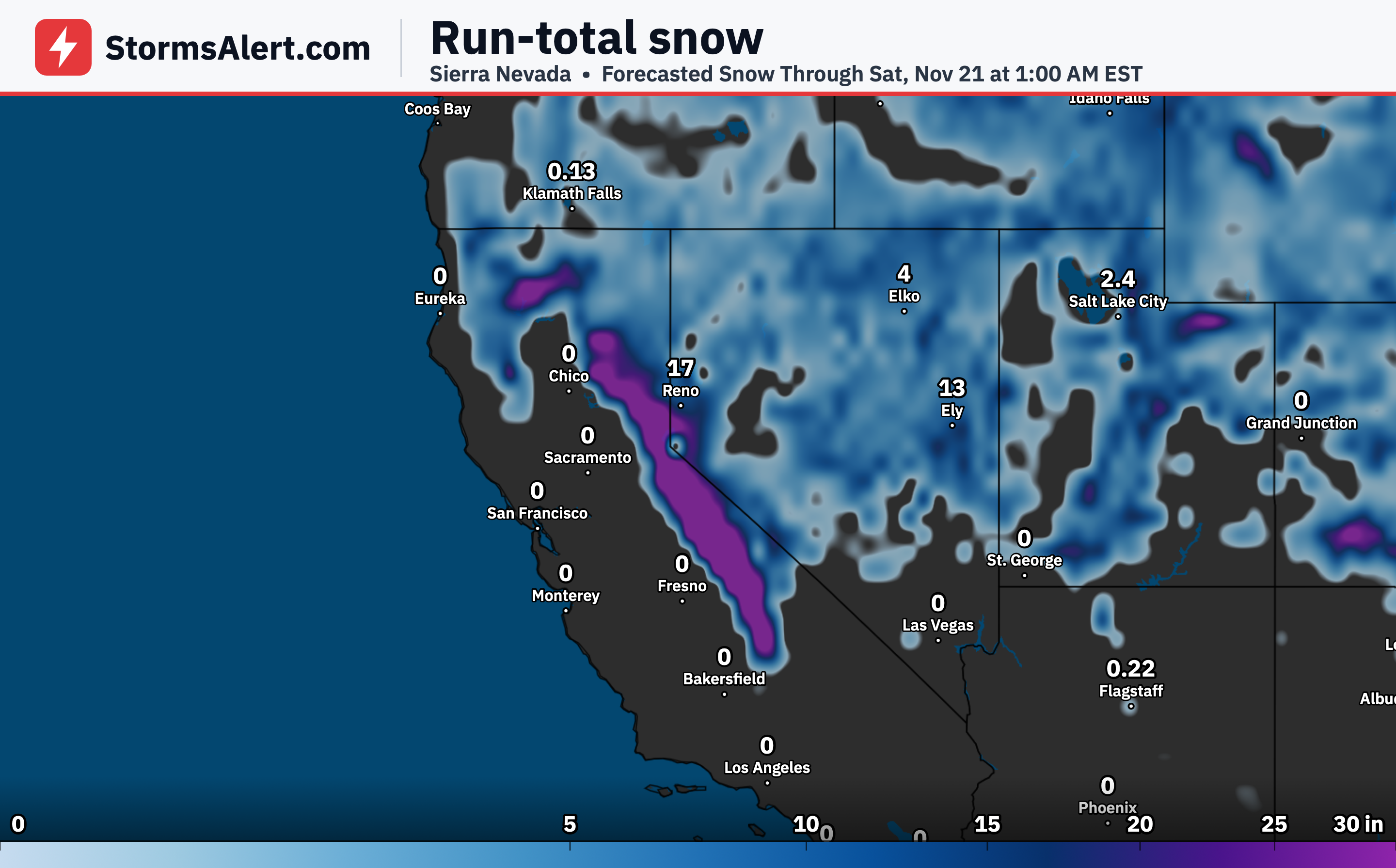
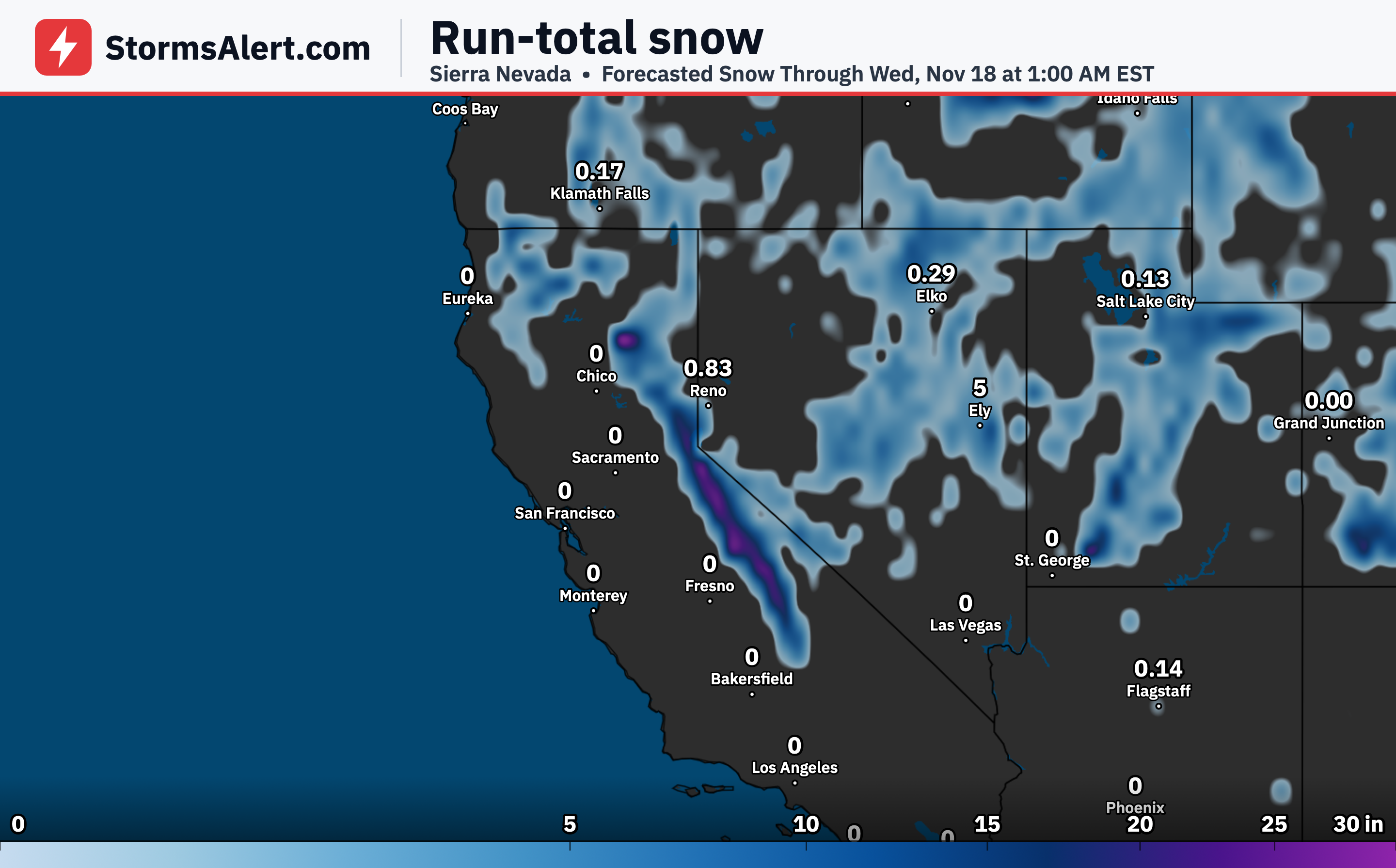
The same system will deliver moderate to heavy mountain snow into early Tuesday across the Sierra Nevada. Travel over the passes may become more difficult as snow levels lower and accumulations build.
Intermountain West
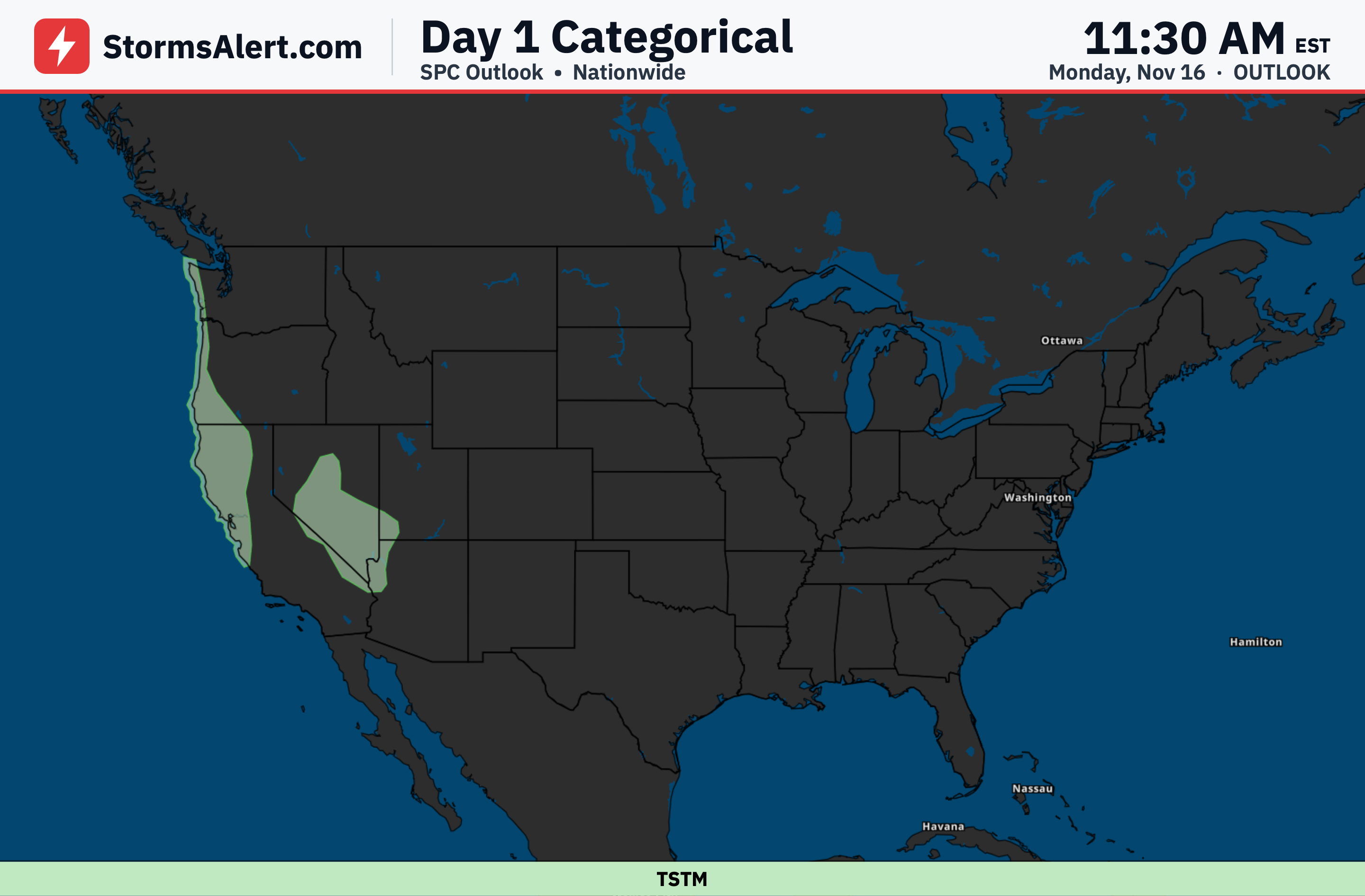
Rain and mountain snow will expand eastward into the Intermountain West and toward the Rockies by Tuesday. Showers and some isolated thunderstorms are also possible as the boundary moves through.
Southwest
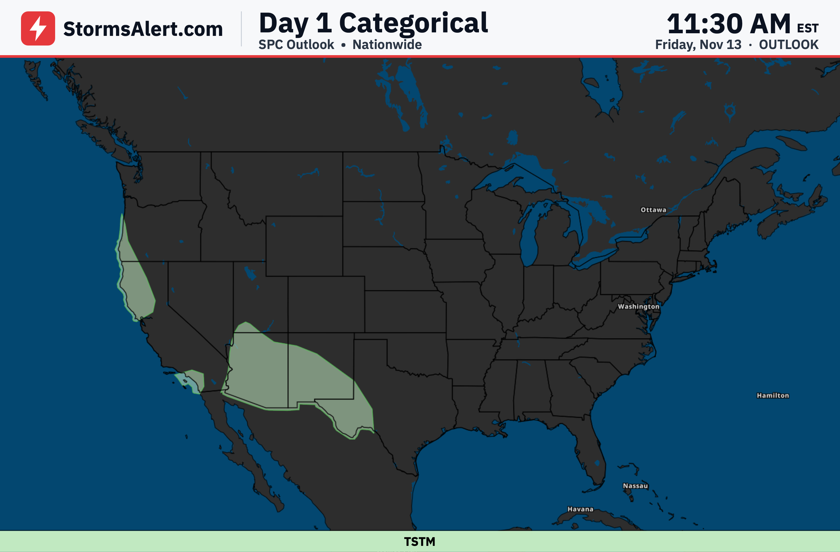
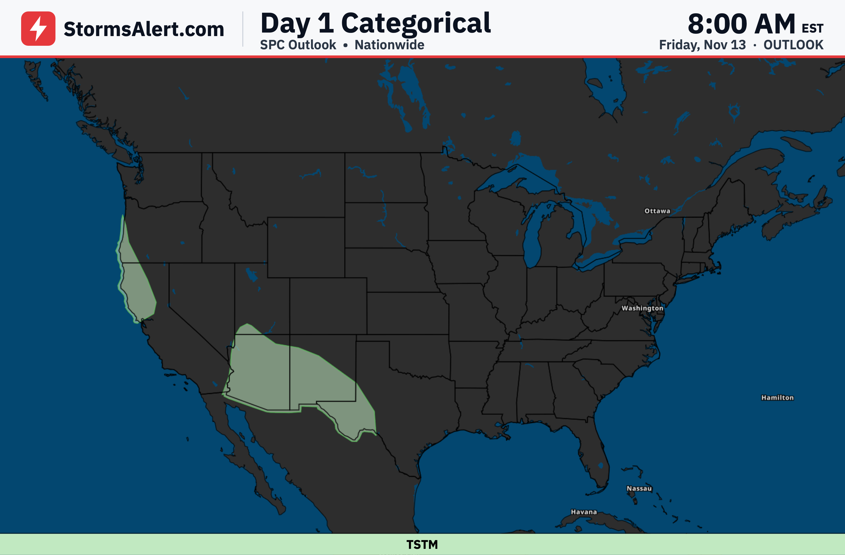
By Tuesday the system reaches portions of the Southwest and Four Corners, bringing showers, isolated thunderstorms and mountain snow. High rainfall rates may create a flash flooding risk, especially along burn scars.
Florida
Showers and thunderstorms will increase across Florida. Organized storms along the eastern side of the state raise a flash flooding risk for Tuesday.
Gulf Coast
Chances for showers and thunderstorms also extend across the Gulf Coast as the system moves eastward. Rainfall may be locally heavy in spots but the main flooding concern remains focused farther east in Florida.
Midwest
High pressure will bring calmer and drier conditions across the Midwest through Tuesday. Most areas should see quiet weather with little impact on daily plans.
Northeast
Drier and calmer weather will also settle across much of the eastern United States, including the Northeast, through Tuesday under the influence of high pressure.