Sierra Mountains See Up to Two Feet as Rockies and Cascades Add More Snow
Sierra Nevada
The heaviest snow today focuses on the Sierra and northern California ranges, where there is a 50 to 90 percent chance of more than a foot and locally up to two feet possible. Snow levels start higher but drop behind a cold front this evening, making travel over the passes more difficult through Saturday.
Utah and Colorado
As the system shifts inland on Saturday, heavy snow continues across the Wasatch and Uintas of Utah plus the San Juans, Colorado Rockies and Sangre de Cristos. There is greater than an 80 percent chance of more than six inches in these ranges through early Sunday, with a 20 to 40 percent chance of more than a foot.
Cascades
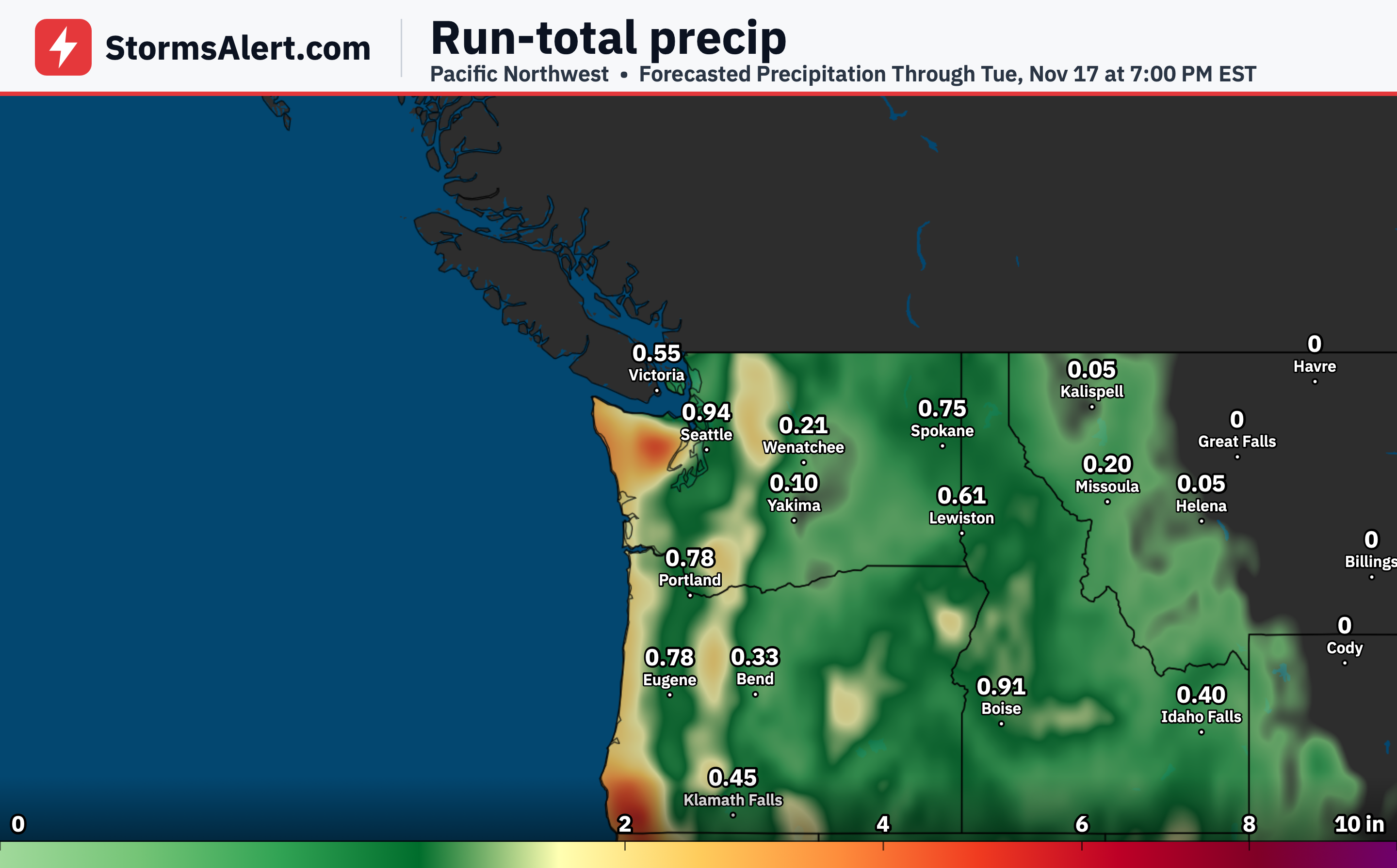
Another surge of moisture arrives by Sunday into Monday, bringing periods of heavy snow along the Cascades and again into northern California and the Sierra. An additional six inches or more is possible, which could lead to further travel problems over the mountain passes.
Northeast Highlands
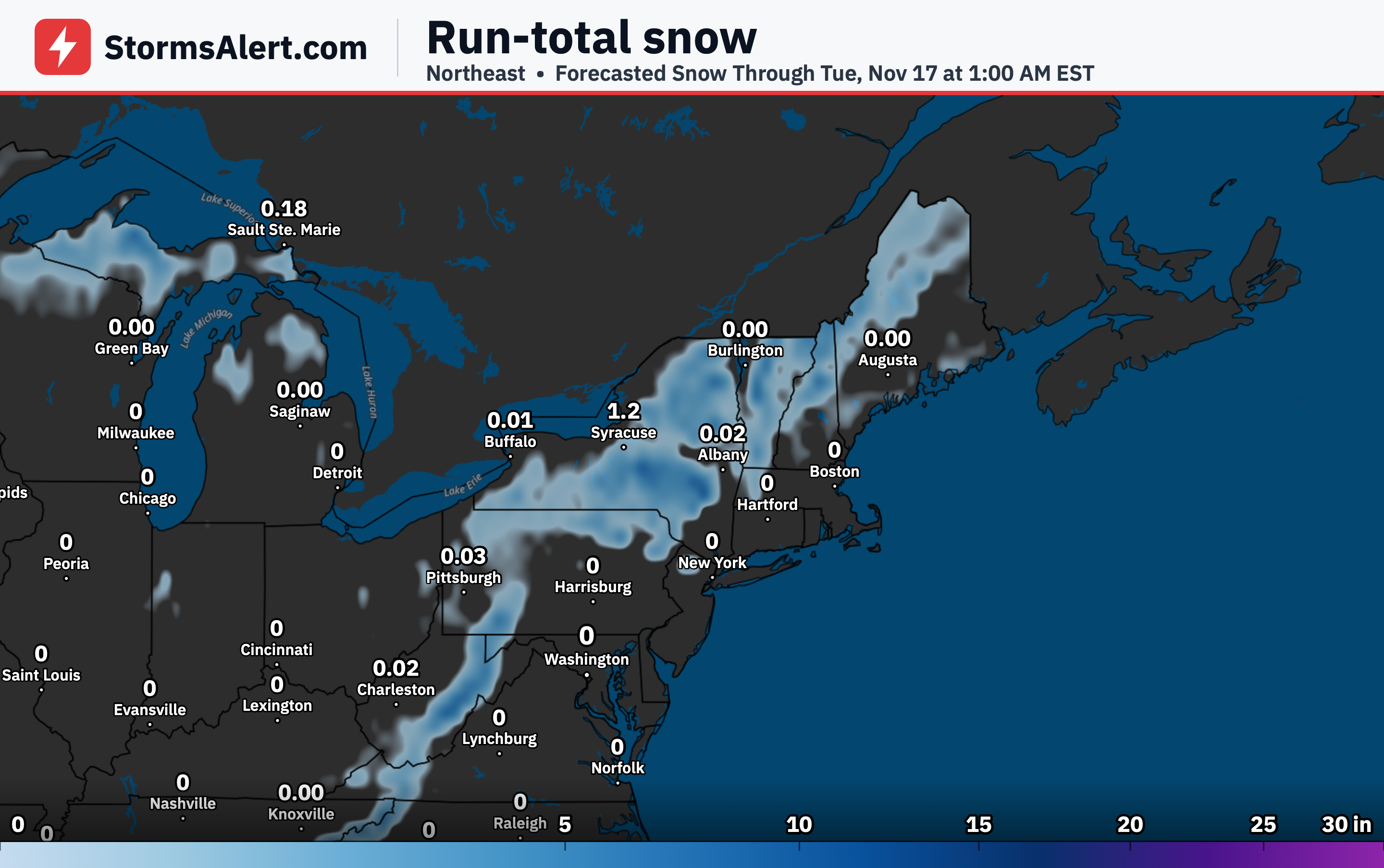
A band of heavier snow moves from near the Catskills and Finger Lakes of New York through the Poconos and into eastern Pennsylvania and northern New Jersey on Friday. Rates could reach one to two inches per hour at times, with the best chance of more than four inches in higher terrain above 1,000 feet. Lower elevations may see only small slushy amounts.
Northern New England
On Saturday a fresh push of colder air brings a resurgence of snow showers to the higher elevations of Upstate New York and northern New England. Several inches of fluffier snow are possible in the Adirondacks, Greens and Whites, with a 20 to 30 percent chance of an additional four inches.
Central Appalachians
Higher elevations of West Virginia along with the North Carolina and Tennessee border area will see periods of snow today. Accumulations of more than four inches have a 10 to 20 percent chance in West Virginia and a 50 to 80 percent chance in the higher Smokies and Blue Ridge. Below 2,000 to 3,000 feet the snow may mix with rain, limiting any buildup.
Upper Michigan
Lake-effect snow continues through Saturday across the Upper Peninsula of Michigan, with multi-bands producing heavy amounts in the higher elevations of the Huron Mountains. There is a 20 to 30 percent chance of more than four additional inches, and rates can occasionally exceed one inch per hour. Immediate shorelines stay mostly rain or a mix with little accumulation.
Lower Great Lakes
Farther south, a single lake-effect band may occasionally bring at least four additional inches to far northeast Illinois and northwest Indiana. On Saturday the focus shifts a bit, giving northeast Ohio, northwest Pennsylvania and parts of Upstate New York near the Finger Lakes a 20 to 40 percent chance of at least two inches. Near-shore areas could remain a rain-snow mix.