Coastal Mid-Atlantic Sees Isolated Hail and Wind Threat From Afternoon Storms
Nationwide
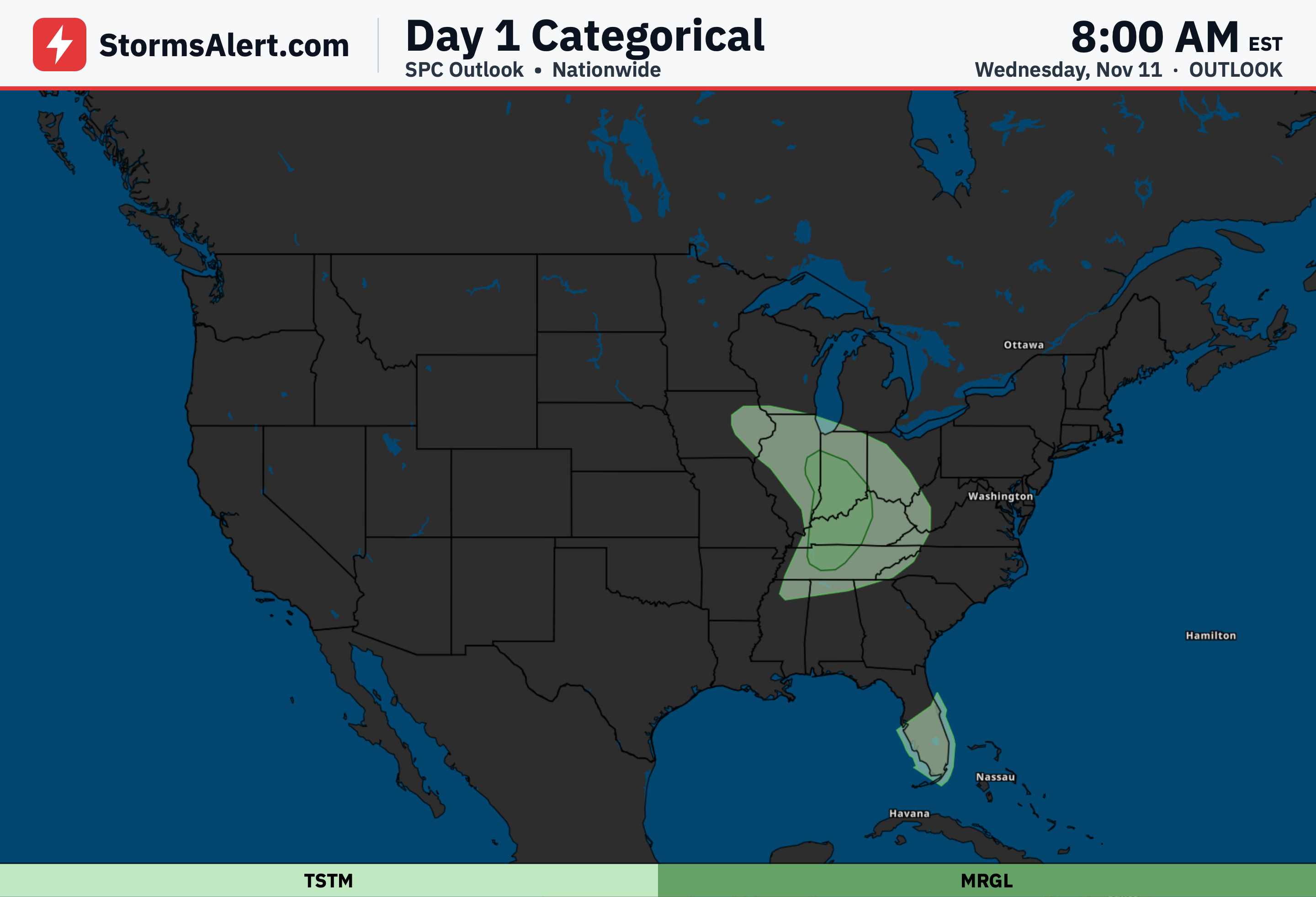
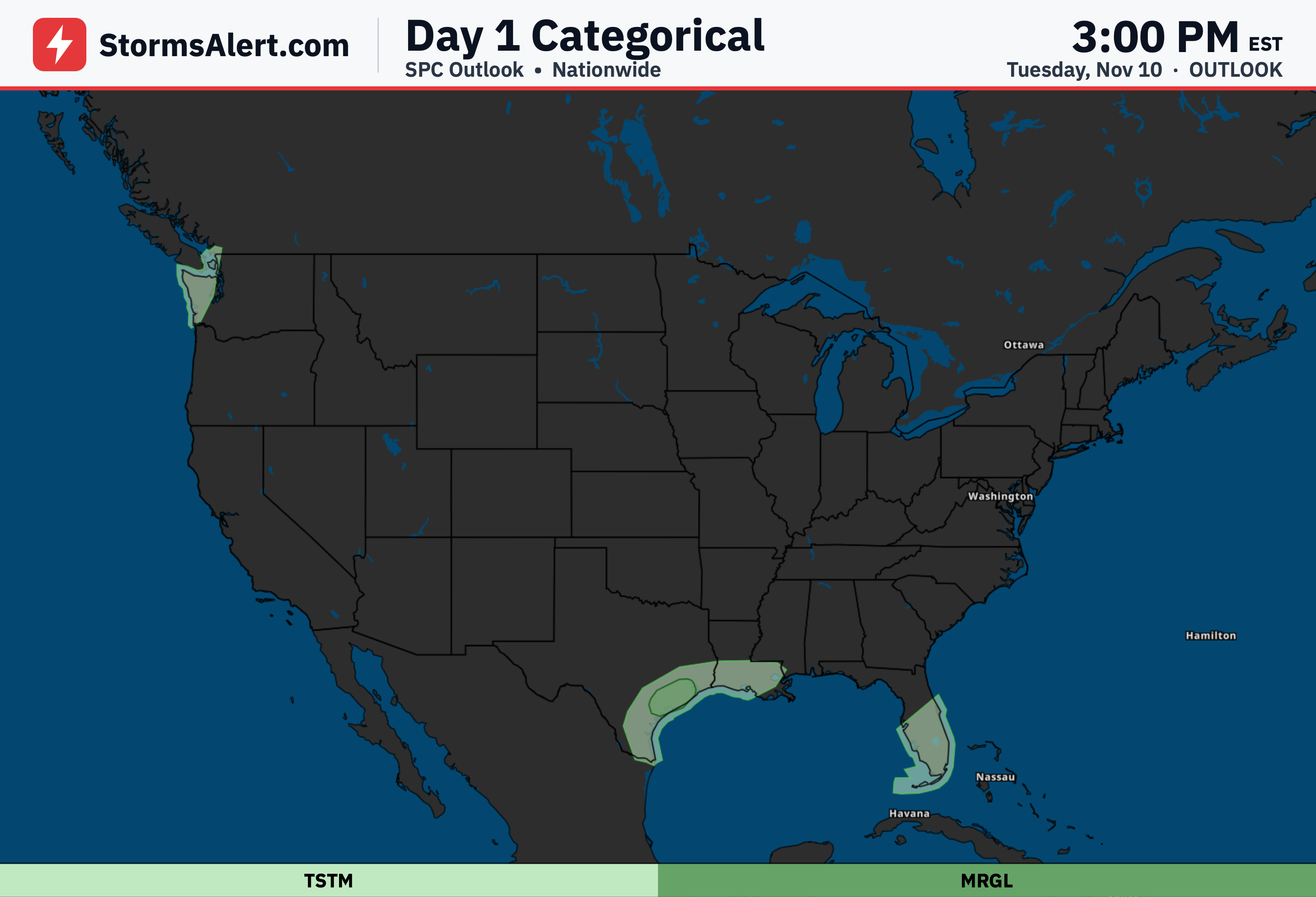
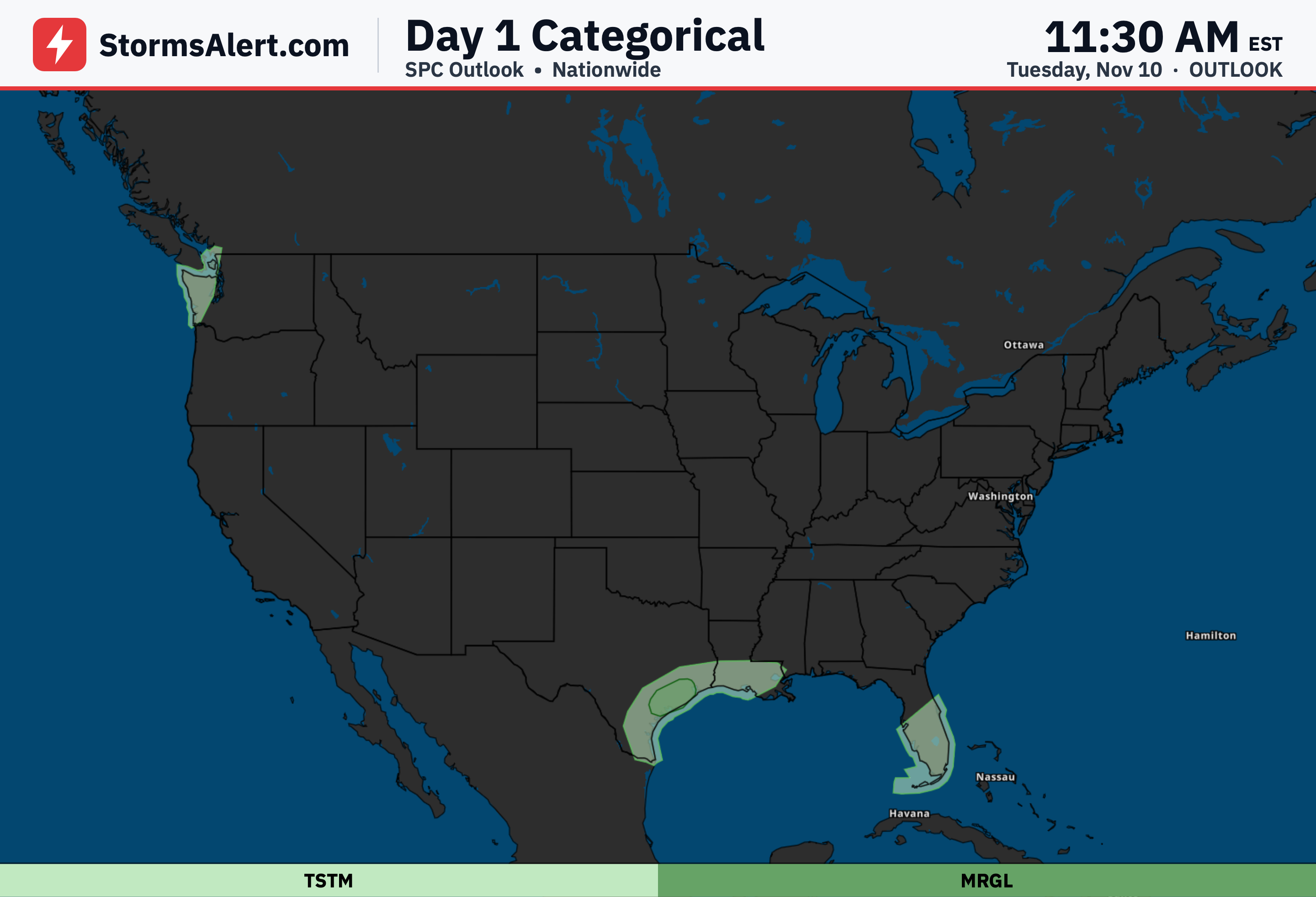
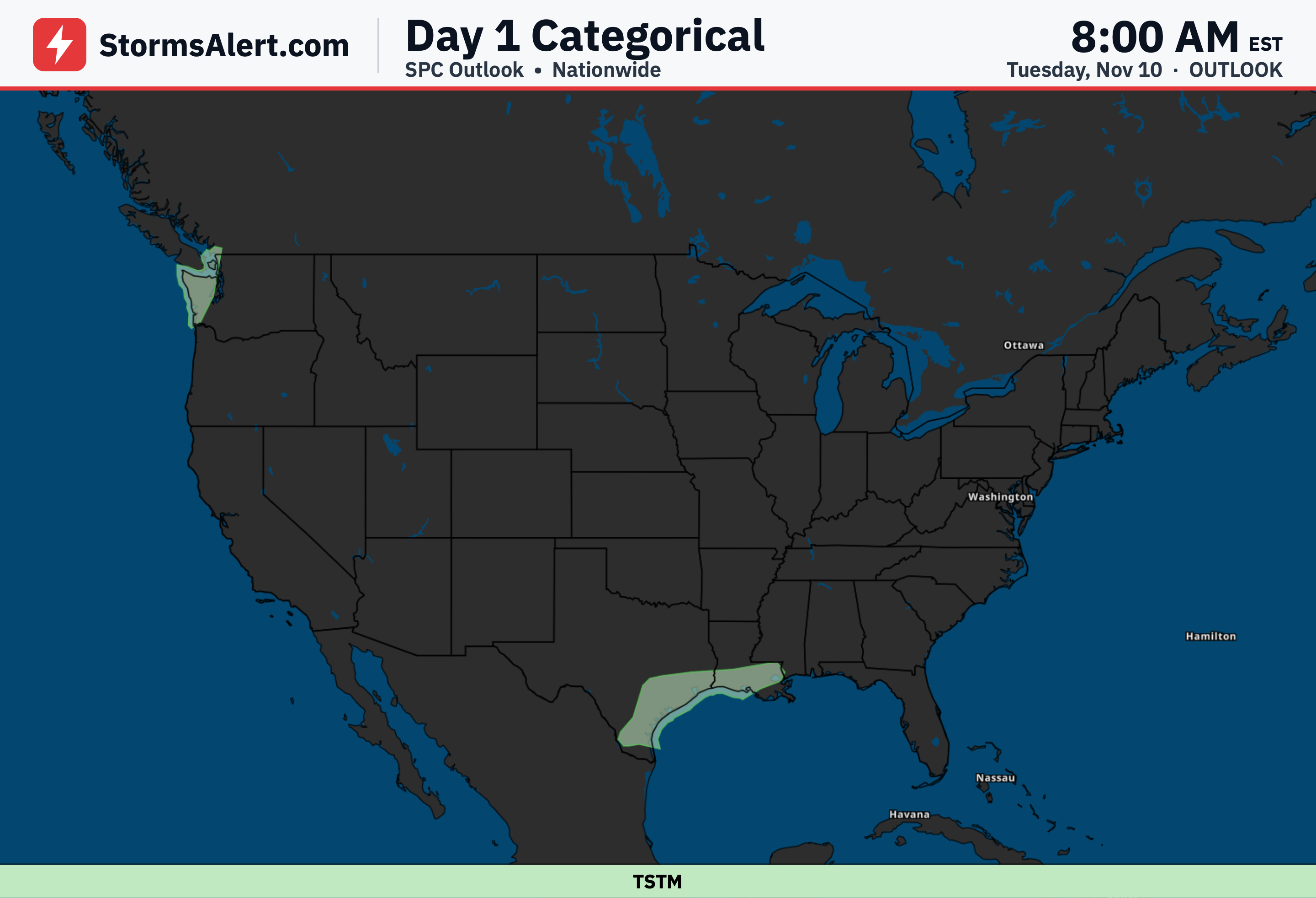
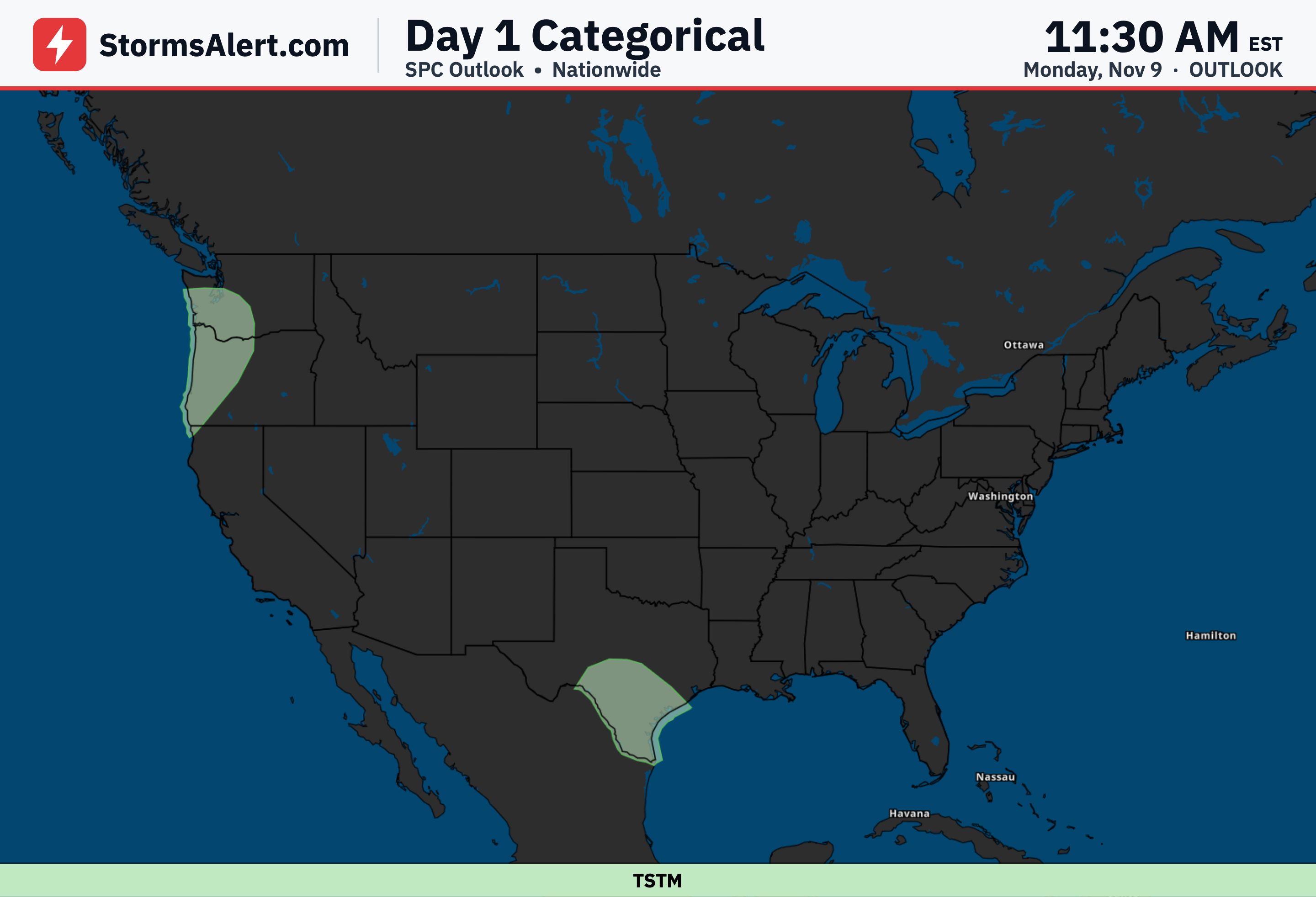
Organized severe weather is not expected across most of the country today. The main area of concern is limited to parts of the coastal Mid-Atlantic, where a marginal risk of stronger storms exists this afternoon. General thunderstorms are also possible in scattered spots including portions of Florida, New York, Virginia, Connecticut, and the District of Columbia, but these are not expected to become severe.
Mid-Atlantic
Strong to severe thunderstorms capable of producing isolated severe hail, damaging winds, and perhaps a tornado may impact parts of the coastal Mid-Atlantic this afternoon. The greatest chances focus on areas from eastern Pennsylvania across New Jersey, Delaware, and Maryland as storms develop and move eastward.
Eastern Pennsylvania
Thunderstorms are expected to develop this afternoon along a boundary stretching across eastern Pennsylvania. Any stronger storms that form in this region could produce severe hail and isolated damaging winds before the activity spreads farther east.
New Jersey
As storms move from eastern Pennsylvania into New Jersey and nearby areas, isolated damaging winds remain possible. A more favorable setup for a tornado could occur if a stronger storm interacts with the boundary across eastern Pennsylvania into New Jersey this afternoon before the system heads offshore.
Maryland Delaware
The severe risk remains constrained farther north, with the strongest potential staying over the coastal Mid-Atlantic and more likely remaining offshore or south of Long Island and southern New England. Residents in Maryland, Delaware, and surrounding spots under general thunderstorms should still stay weather-aware this afternoon.