Sharp Cold Surge Hits Eastern Half After Mild Spell as Northwest Sees Rain and Snow
Nationwide
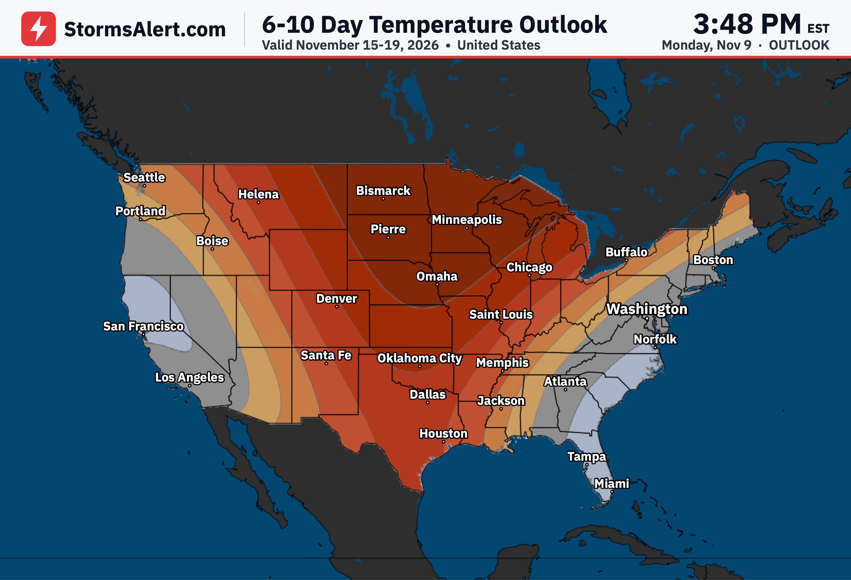
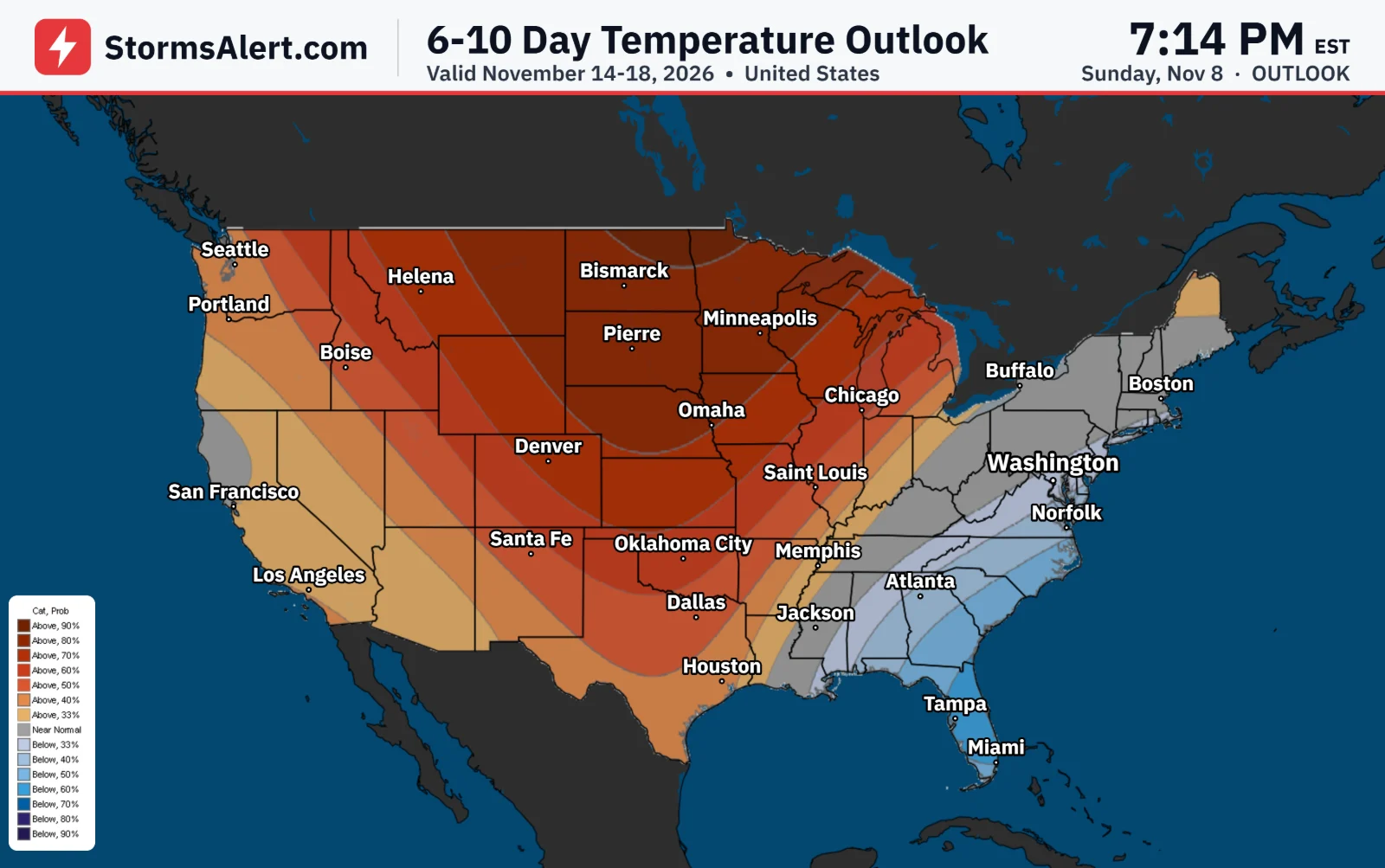
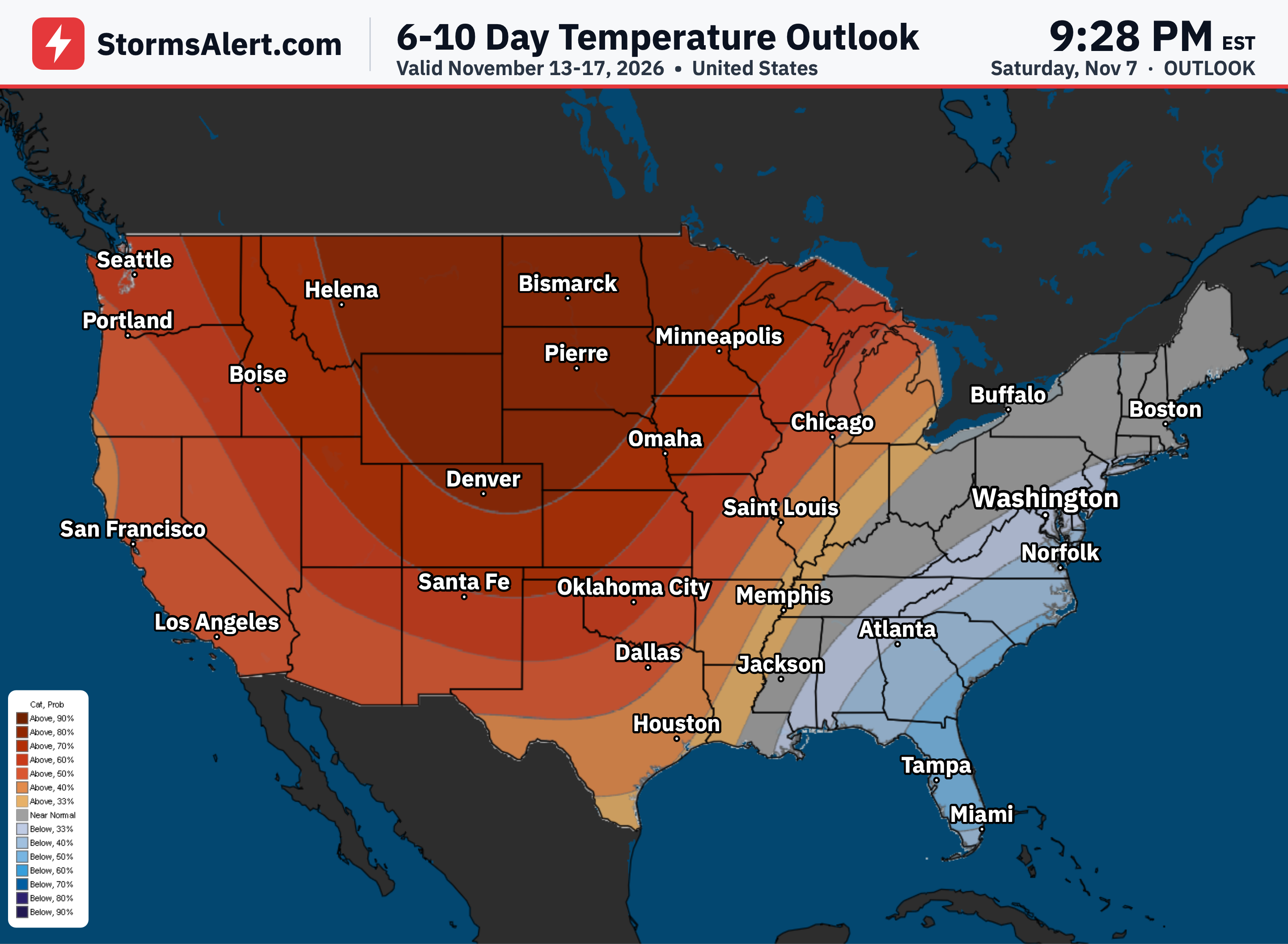
Milder than normal temperatures will hold across much of the country at first under a steady flow of Pacific systems, but that pattern flips hard for the eastern half. Drastically colder air is set to surge in by Wednesday night and continue into Thursday morning, dropping temperatures noticeably and pairing with stronger winds as a low-pressure system strengthens while moving east.
Pacific Northwest
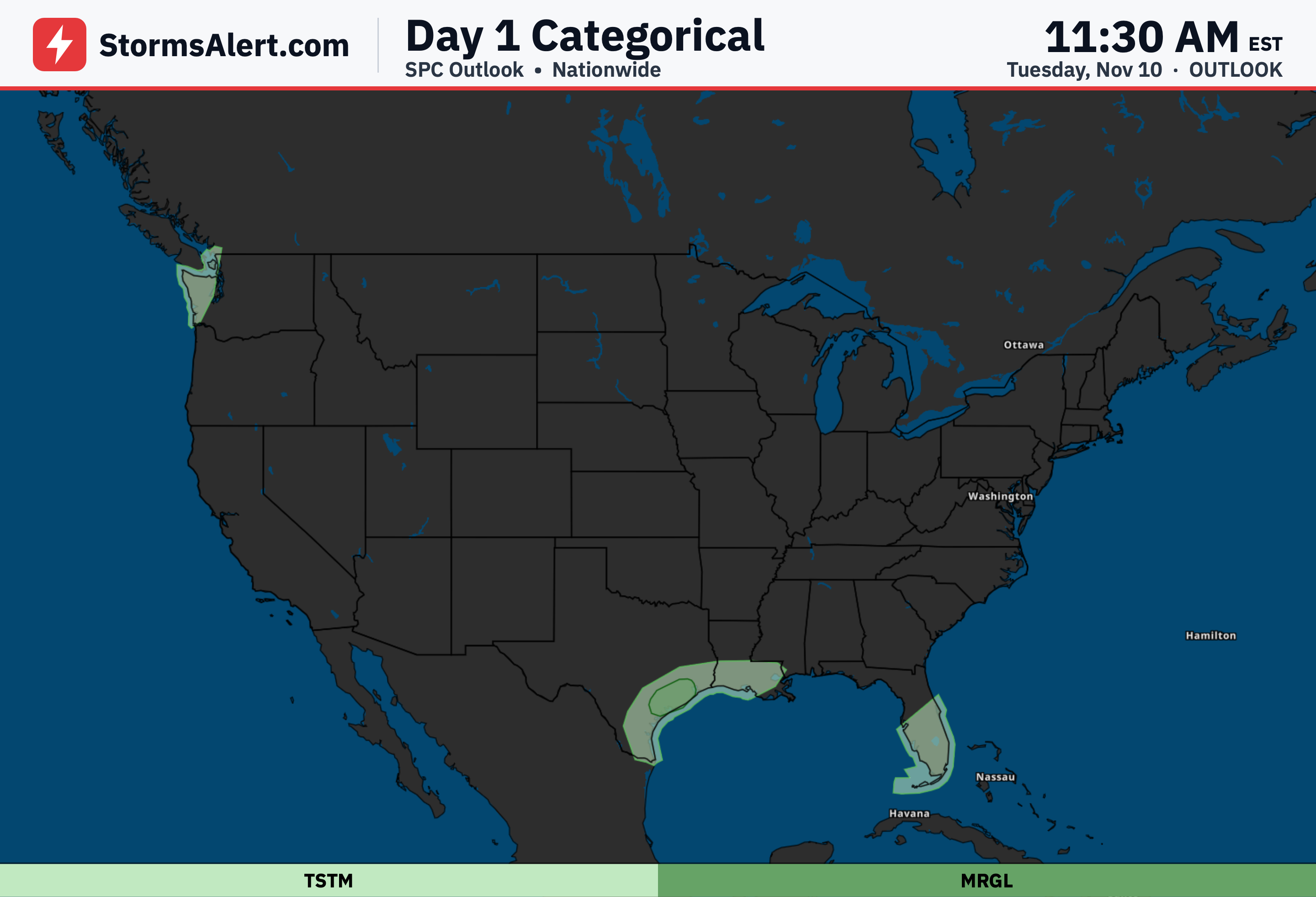
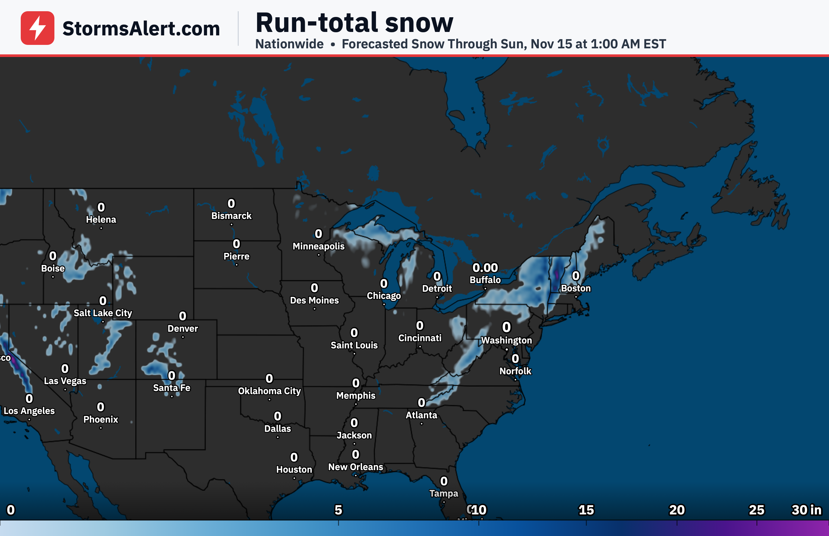
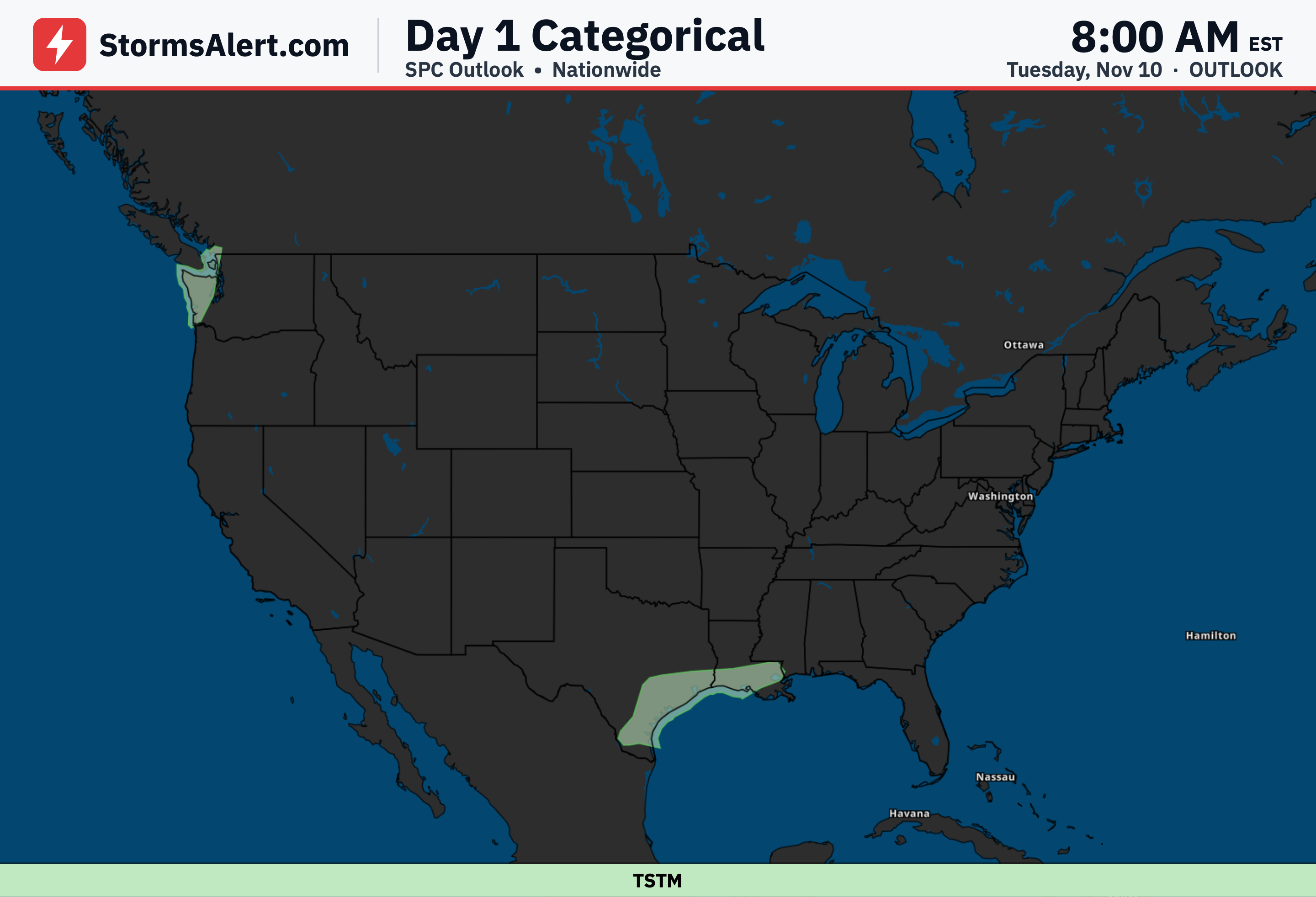
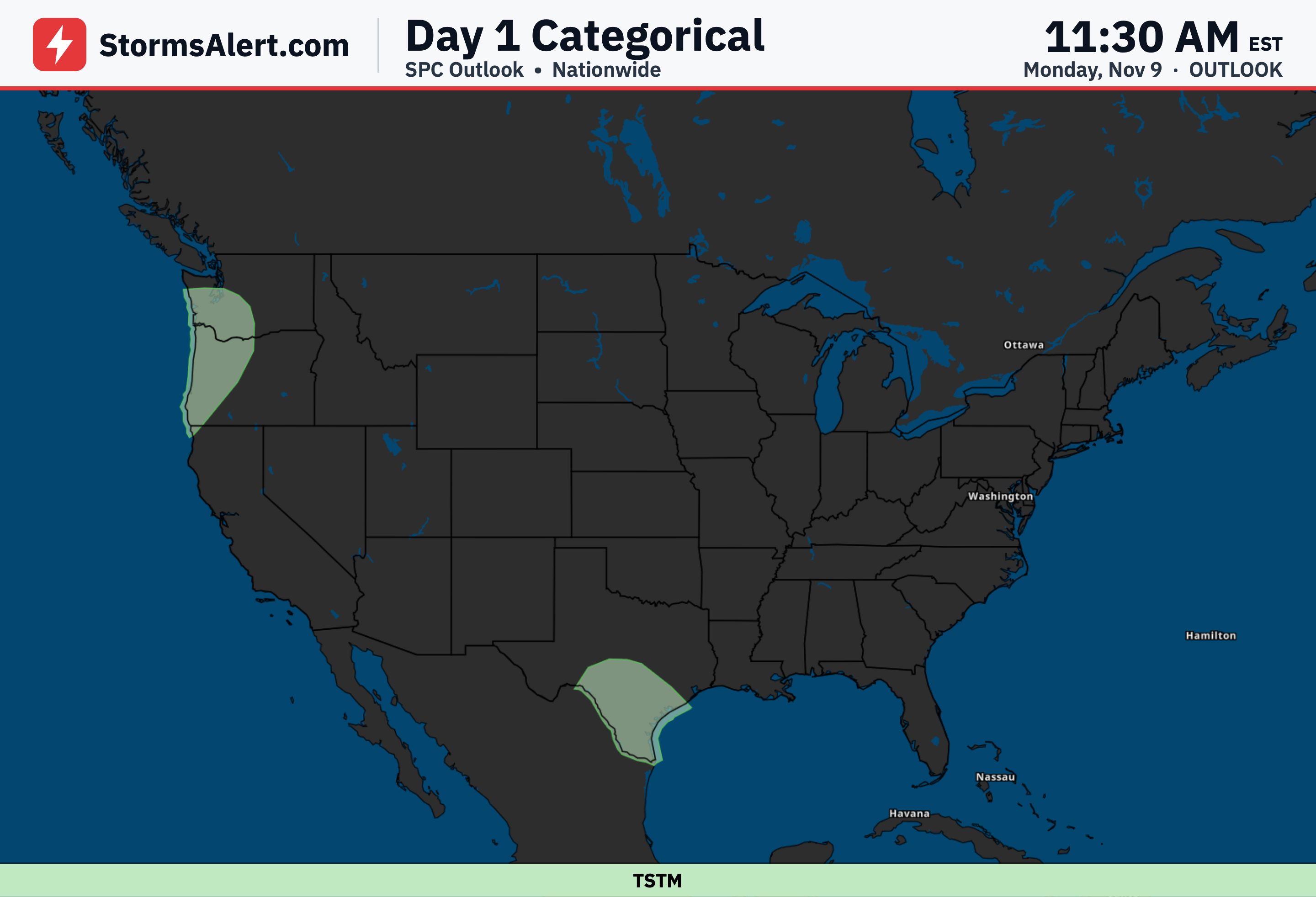
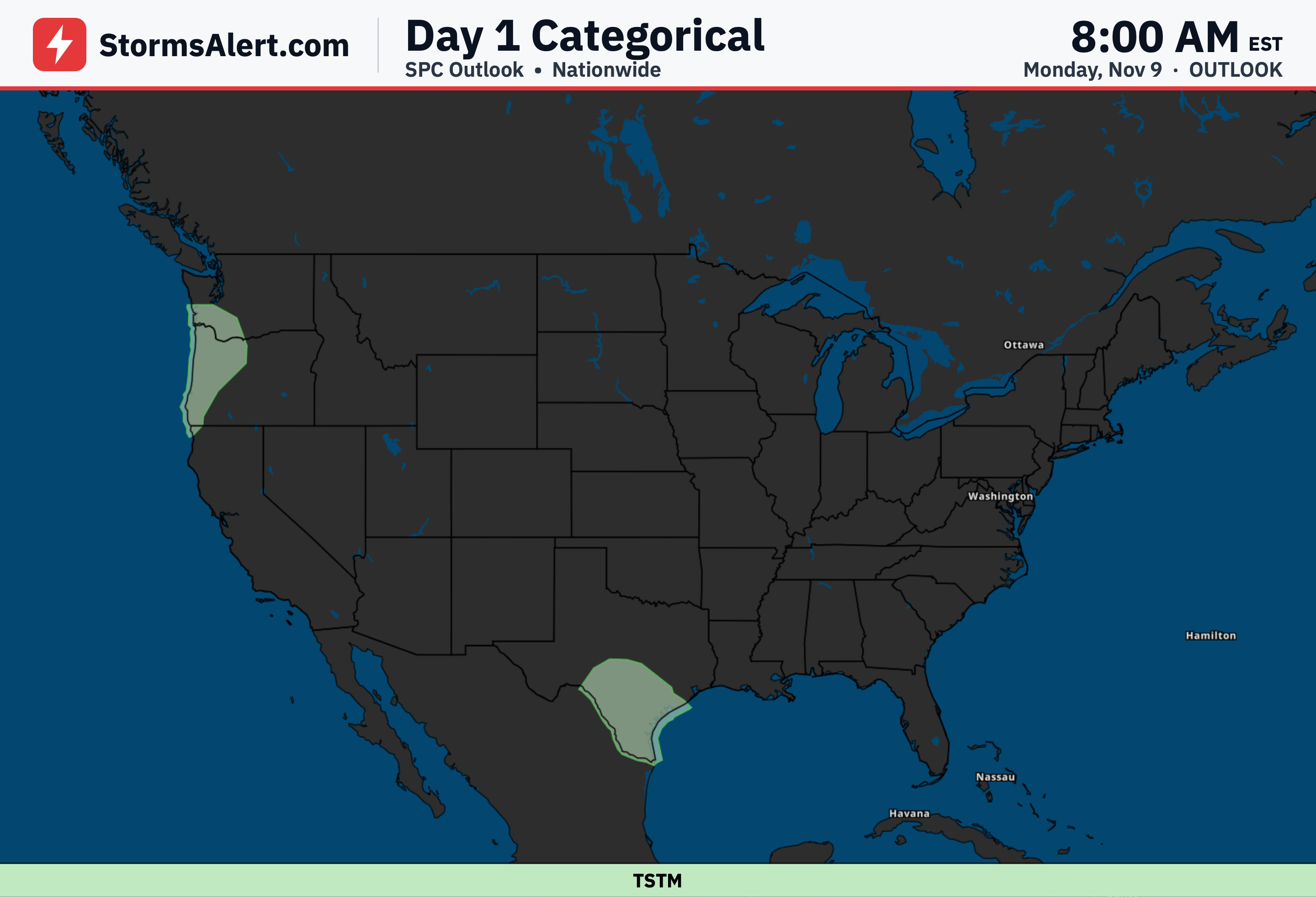
An active series of Pacific storms will keep rain and mountain snow coming over the next couple of days. Periods of moderate rain are expected along with higher-elevation snow, and the Olympic Peninsula stands out for the heaviest totals, with a few inches of precipitation possible through Thursday morning.
Southwest and Rockies
Outside the Pacific Northwest, much of the western half of the country stays milder than normal and mostly dry through Thursday morning. The Southwest and Rockies should see quiet conditions with above-average temperatures holding steady as the main action remains farther north and west.
Southern Texas
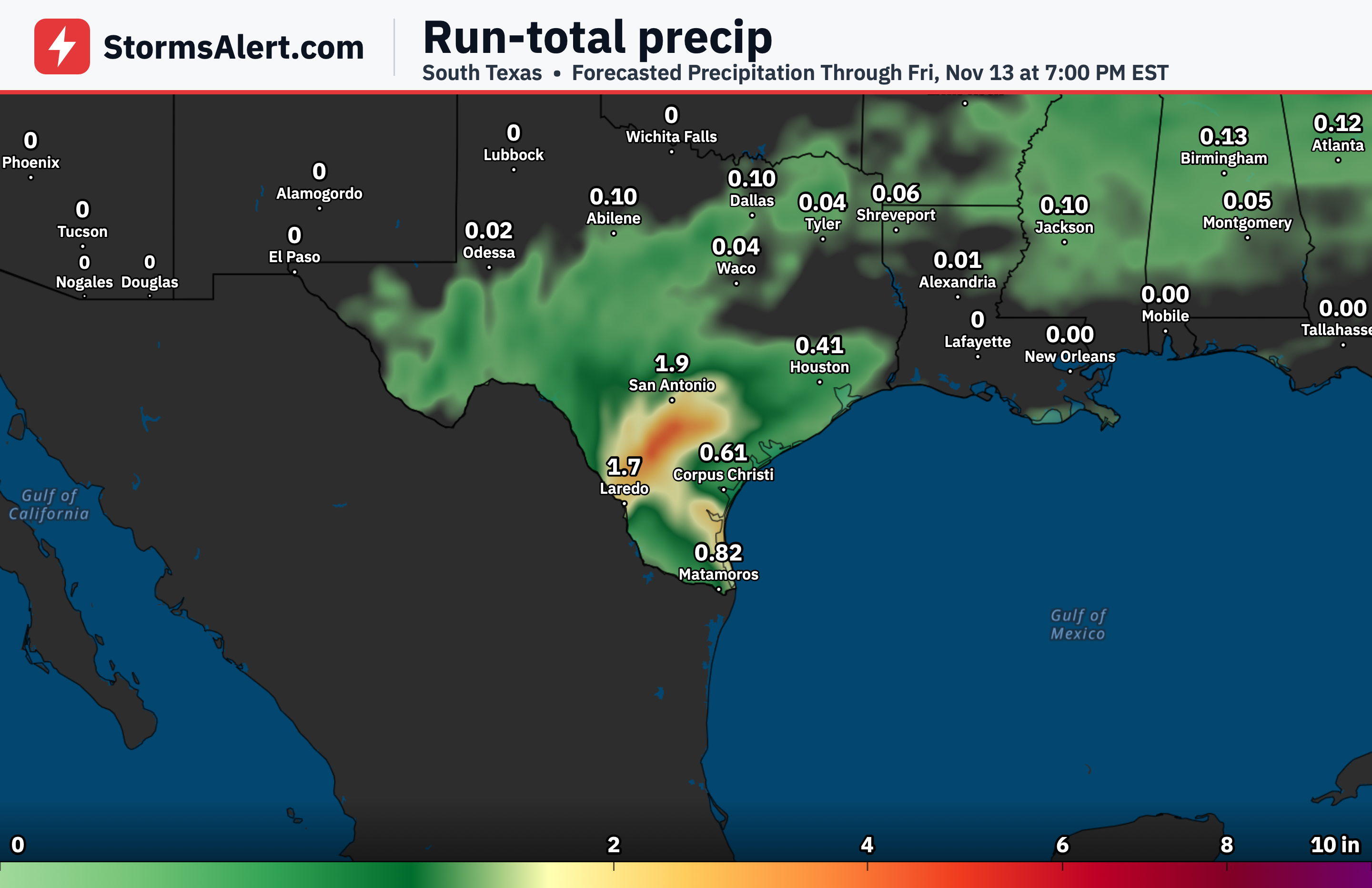
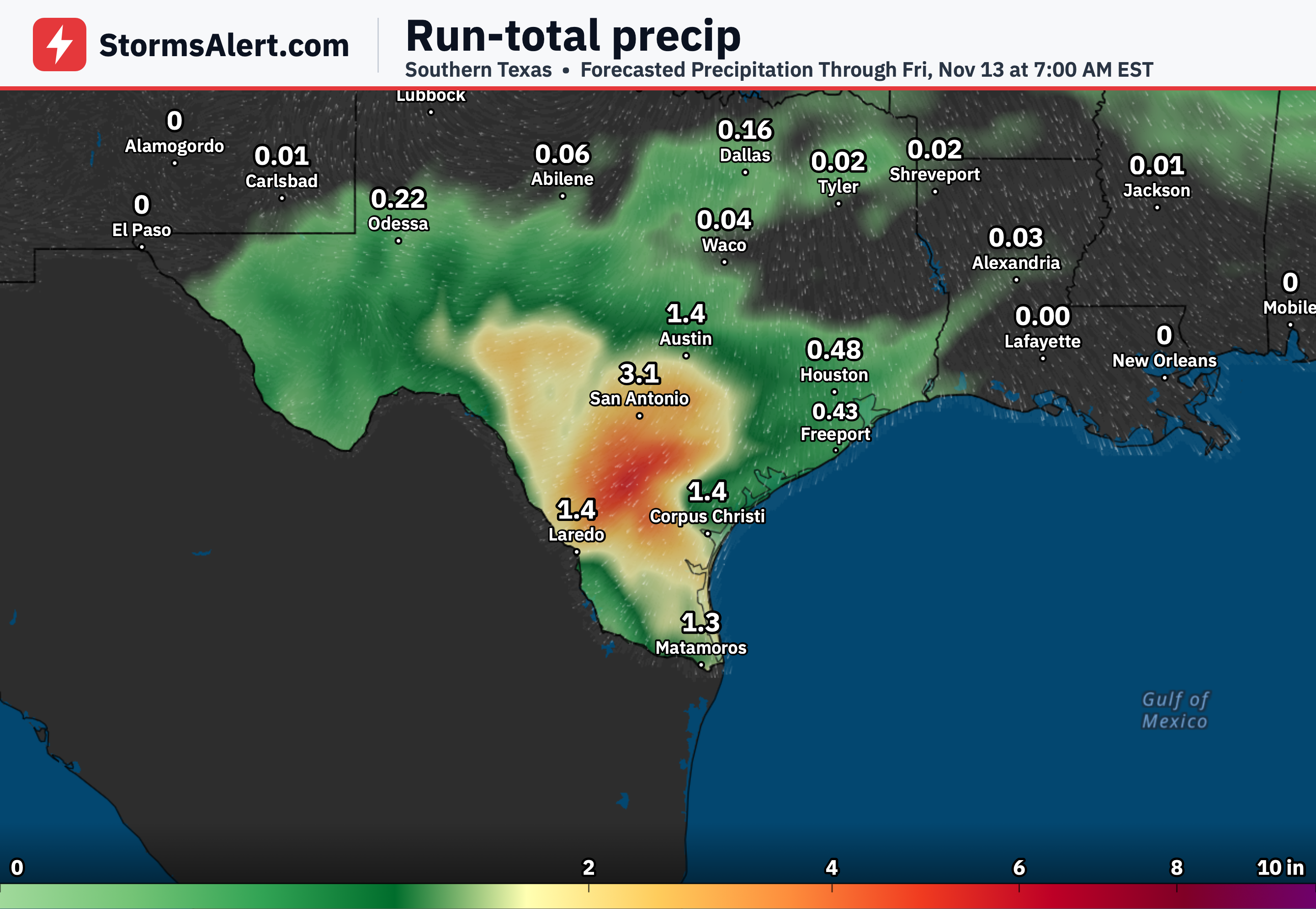
The heavy rain threat over southern Texas is expected to ease gradually today as the system responsible slides east and weakens. Scattered showers may still linger near the western and central Gulf Coast into the next couple of days, but the overall heavy rainfall risk diminishes.
Midwest and Great Lakes
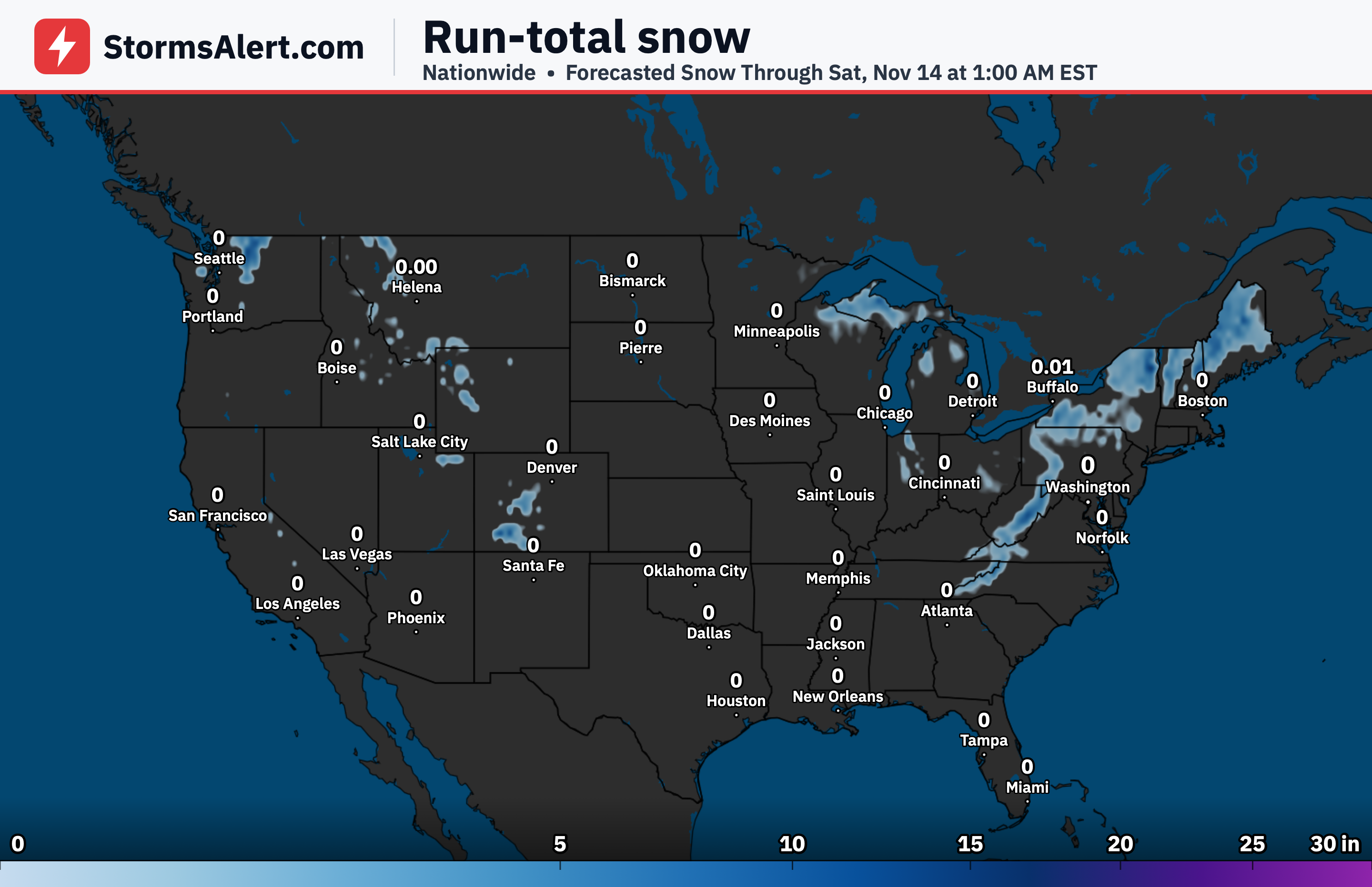
A low-pressure system moving from the northern Plains tonight will bring embedded thunderstorms and gusty winds to the Midwest through the Ohio and Tennessee Valleys on Wednesday. Farther north, the upper Great Lakes could see wet snow by Thursday morning once colder air arrives and temperatures fall overnight Wednesday into Thursday.
Northeast
Clipper systems tracking across southern Canada will produce a couple rounds of scattered showers from the Great Lakes into the Northeast through Wednesday. By later Wednesday into Thursday morning the same cold surge and strengthening low will increase winds across the region while temperatures drop.
Mid-Atlantic
Early this morning parts of the Mid-Atlantic are cold enough for frost, especially across portions of eastern North Carolina and southeastern Virginia. Milder air then quickly spreads over the East Coast by this afternoon before the sharper cold arrives with the larger system later in the period.
Eastern U.S
The intensifying low will expand in size as it tracks toward the Appalachians by Thursday morning, helping drive increasing winds across much of the eastern half of the country. Combined with the cold air surging in Wednesday night, this will mark a clear change from the milder conditions of the past few days.