Texas Flash Flood Risk Peaks Today as Mild Warmth Expands Nationwide
Southern Texas
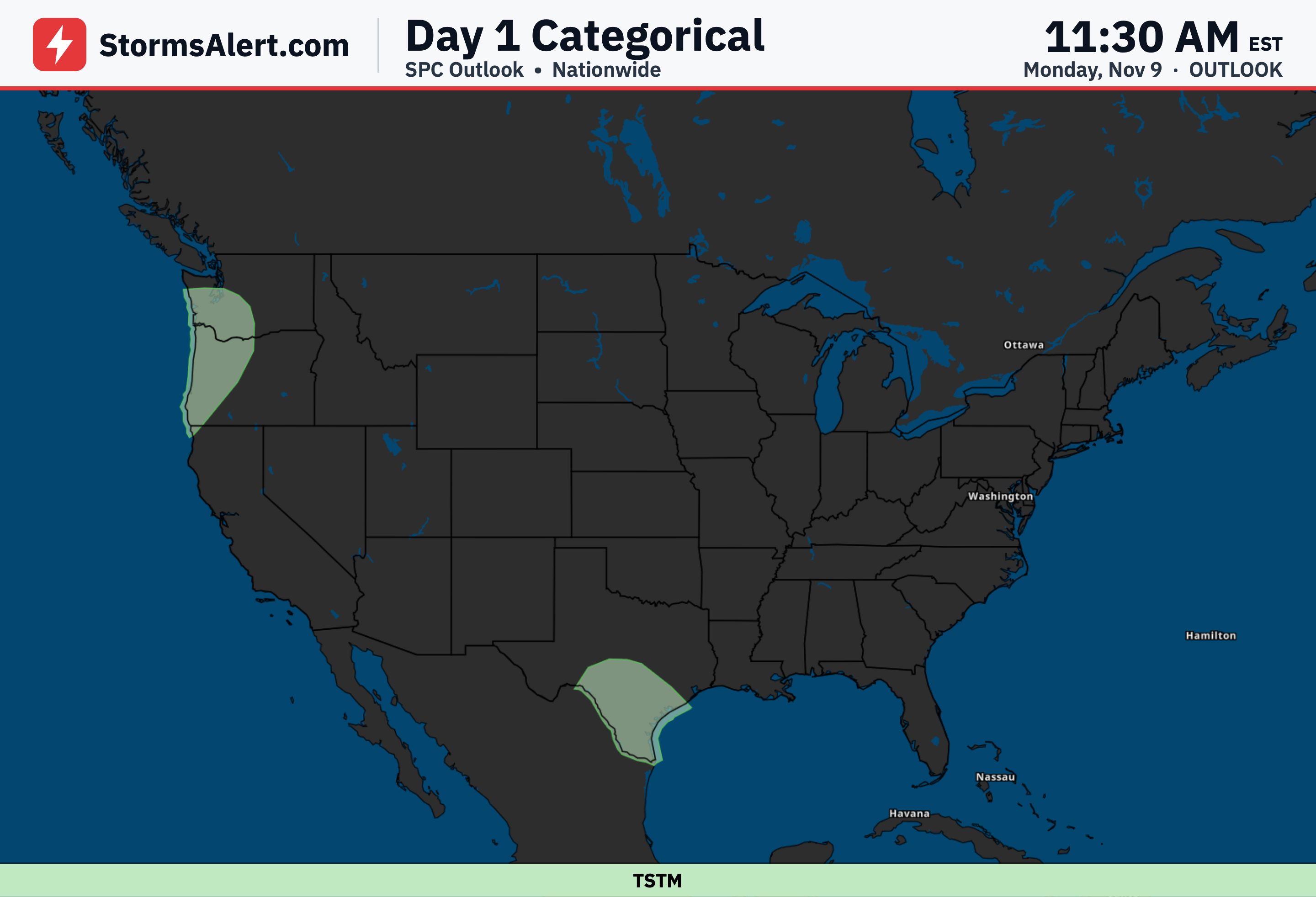
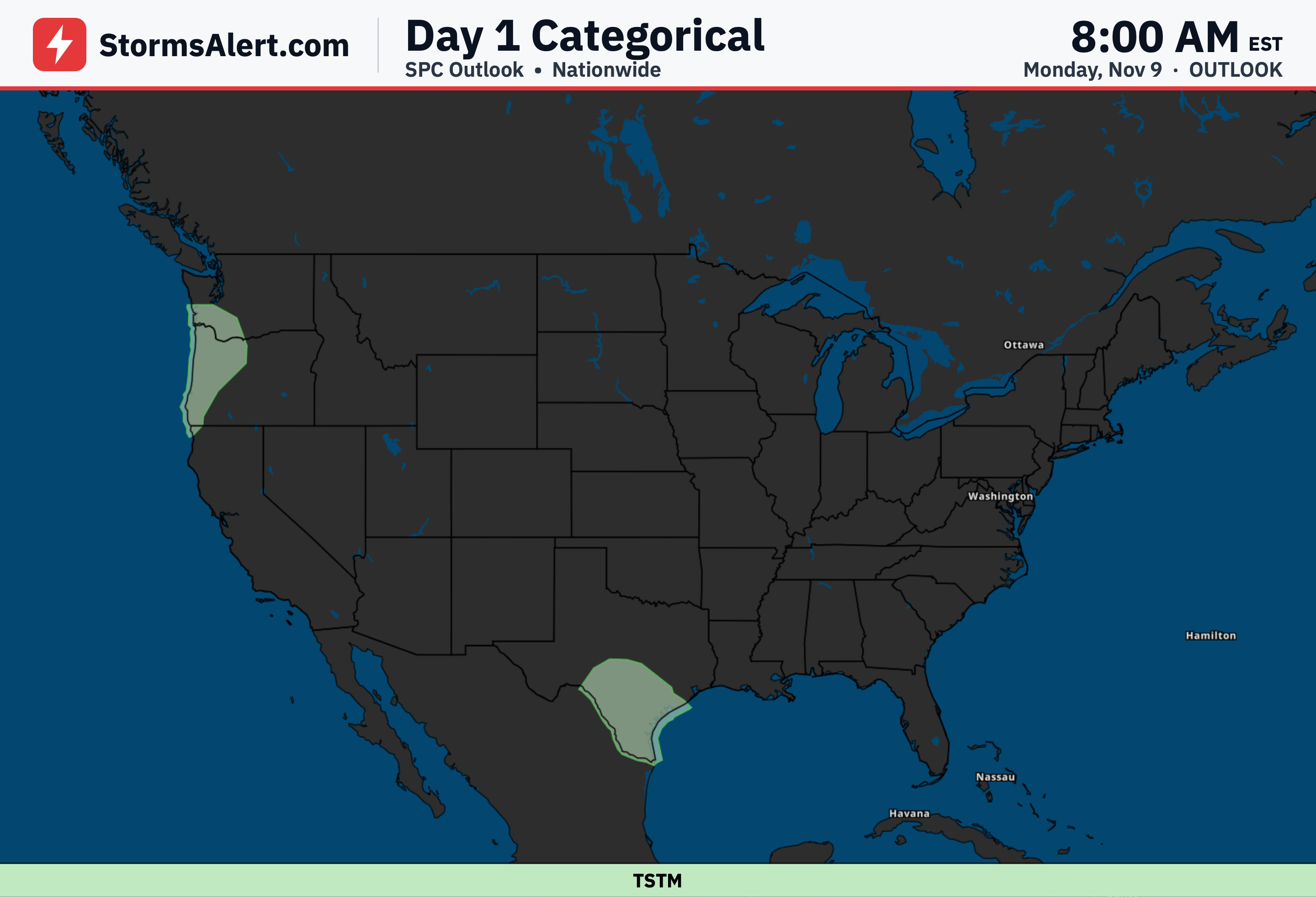
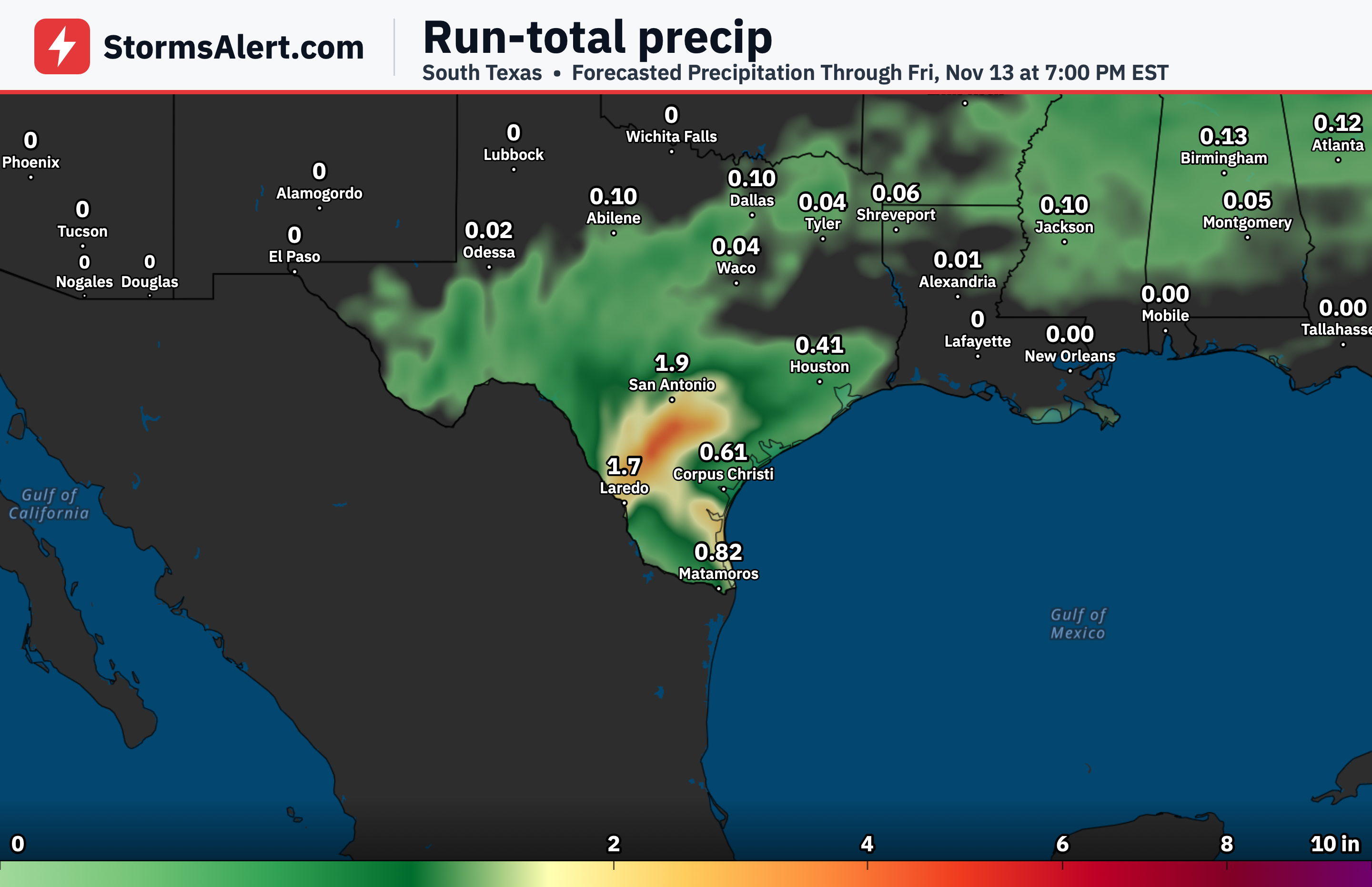
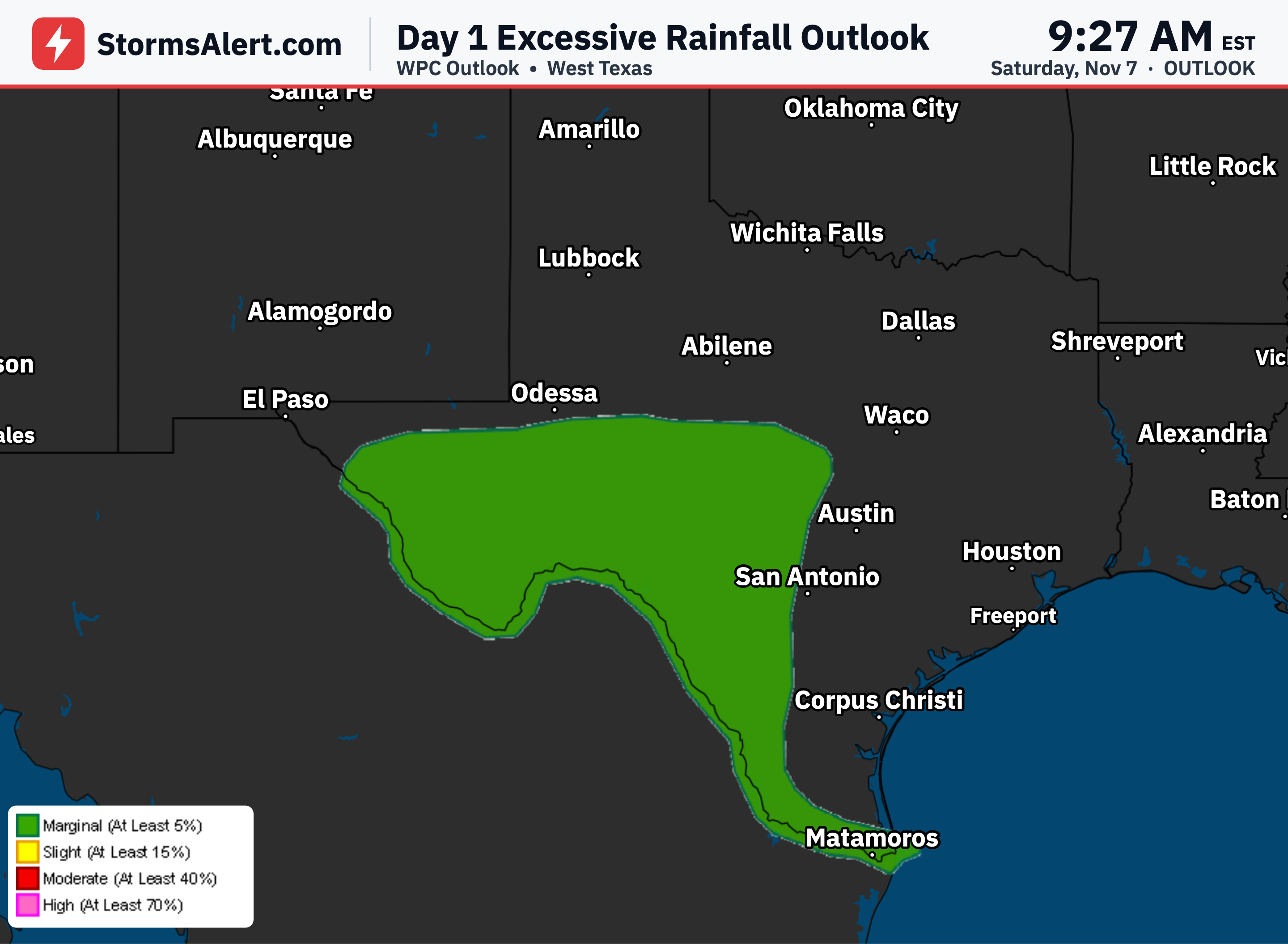
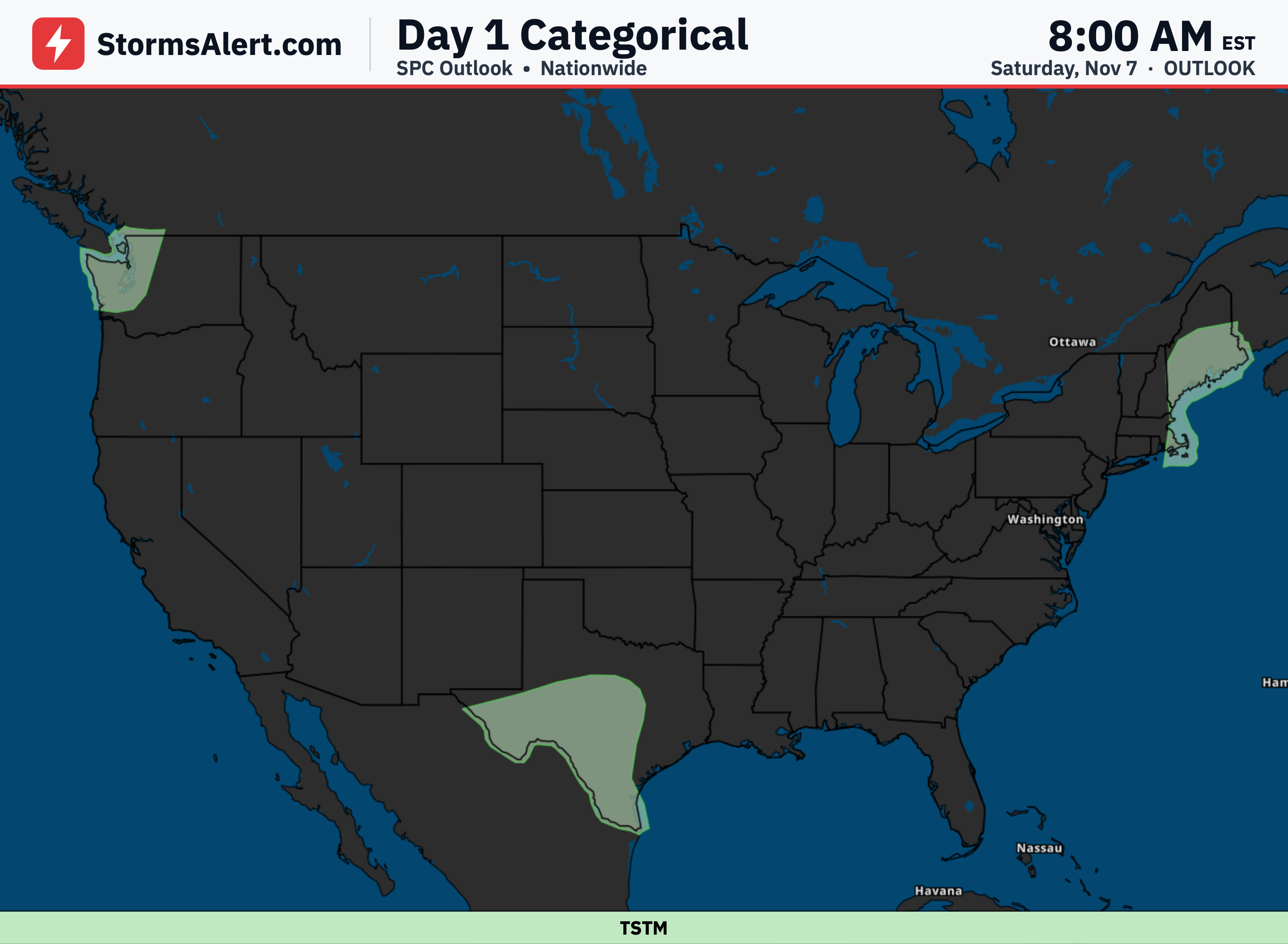
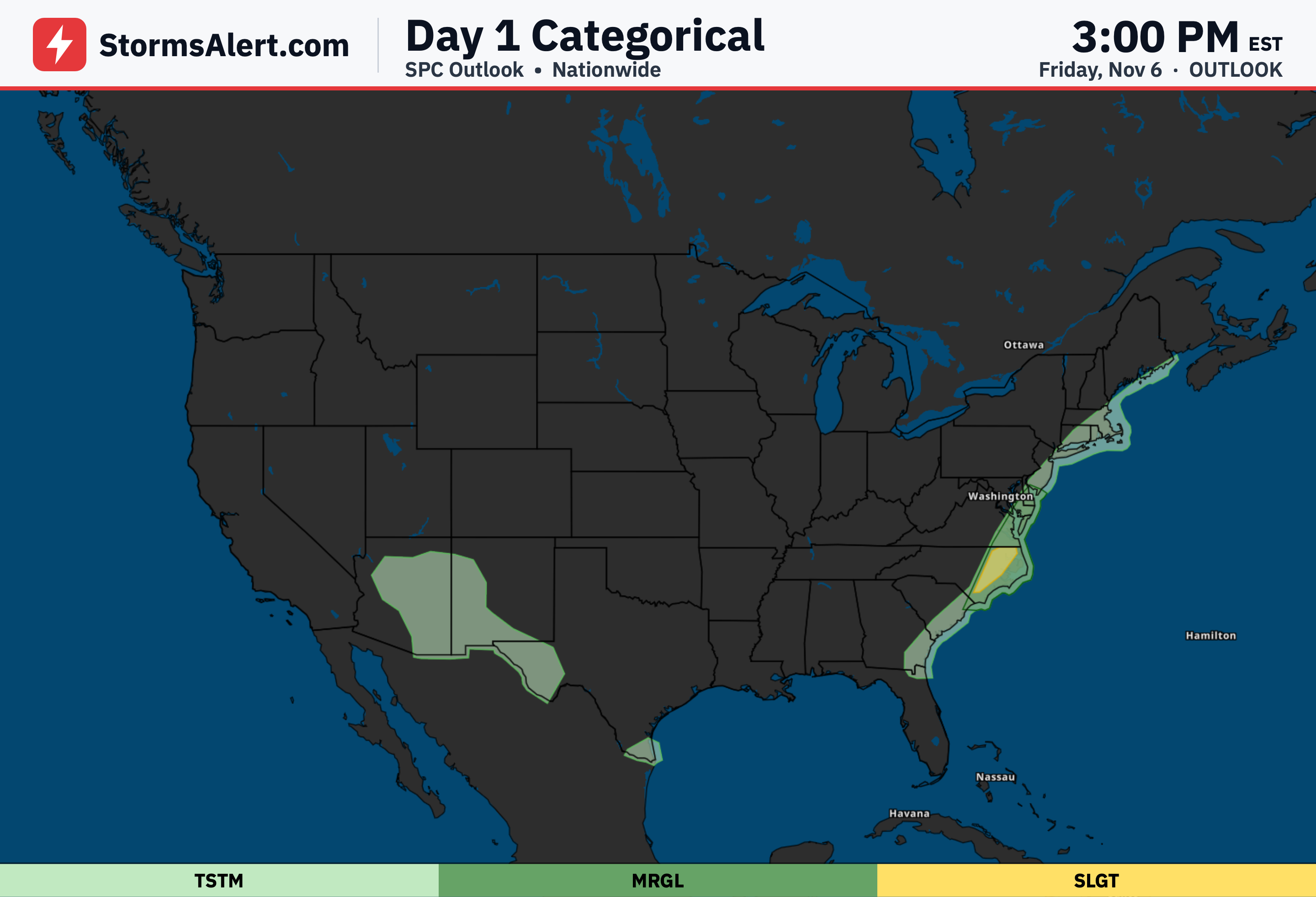
Scattered to widespread thunderstorms are crossing southern to south-central Texas today, dropping locally very heavy downpours that could total several inches and lead to scattered flash flooding. The main threat peaks through Monday morning, with storms possibly lingering into Monday and bringing a few more isolated flooding spots. Drivers should watch for standing water on roads and low-lying areas through the 9th.
Pacific Northwest
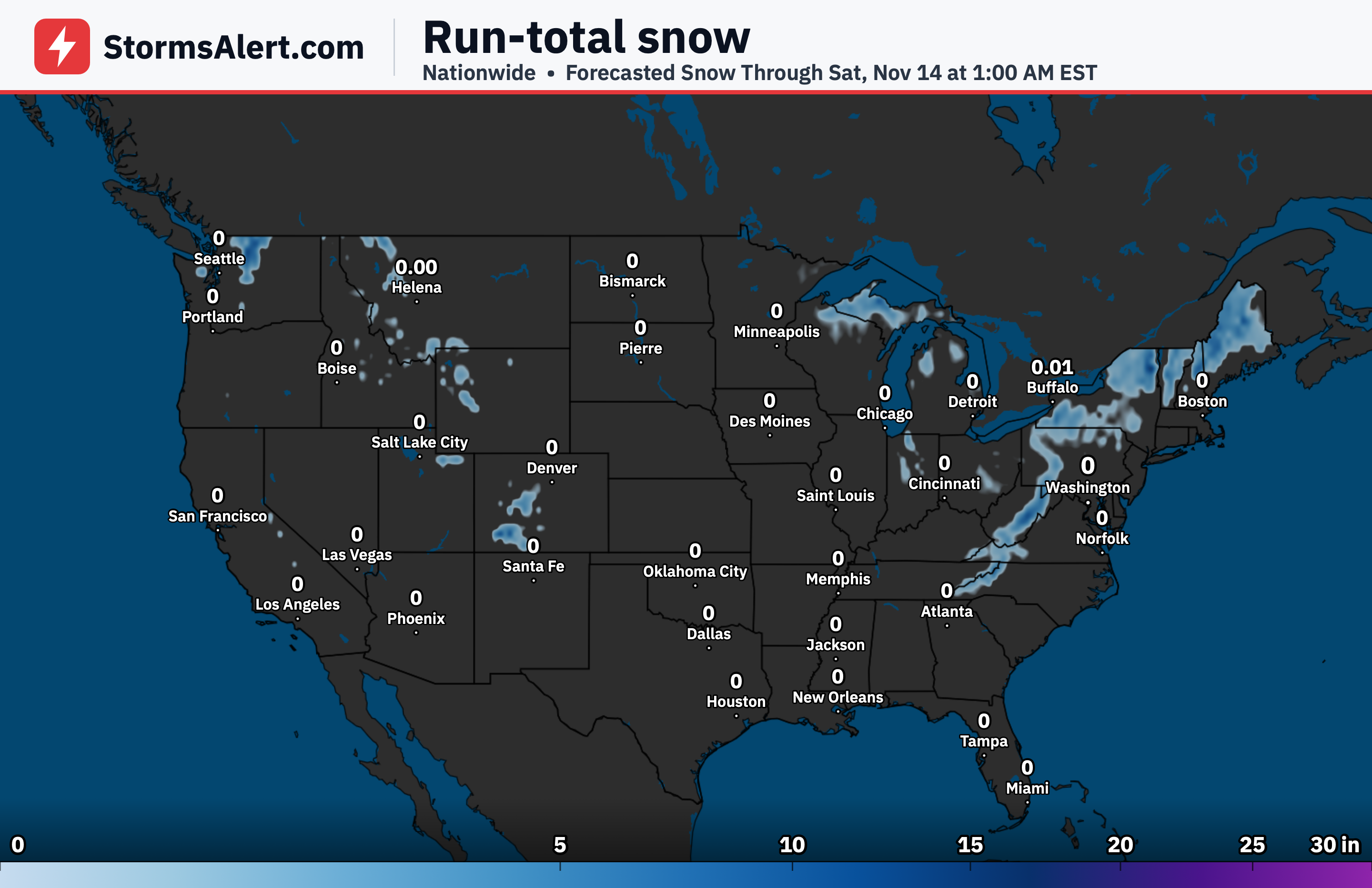
A series of Pacific systems will deliver periods of moderate rain plus some higher-elevation snow across the Pacific Northwest through the next couple of days. The most widespread and heaviest precipitation arrives later on Monday and Monday night, so outdoor plans or travel on the 9th may see delays from wet roads and mountain snow.
Southeast
One more chilly night is on the way for portions of the Ohio and Tennessee Valleys stretching into the Southeast, where dry air will let Monday morning lows fall into the 30s and Frost Advisories stay in place. After that brief cool spell, temperatures will turn milder as the week begins.
Northeast
A couple of passing low-pressure systems will spark some scattered showers over portions of the Interior Northeast during the next few days. Most other spots remain dry, and daytime highs stay mild in the 50s and 60s across the northern tier.
Great Lakes
Those same passing systems will also bring scattered showers to portions of the Upper Great Lakes. Elsewhere in the region conditions stay mostly dry, with comfortable highs generally running in the 50s and 60s.
Plains
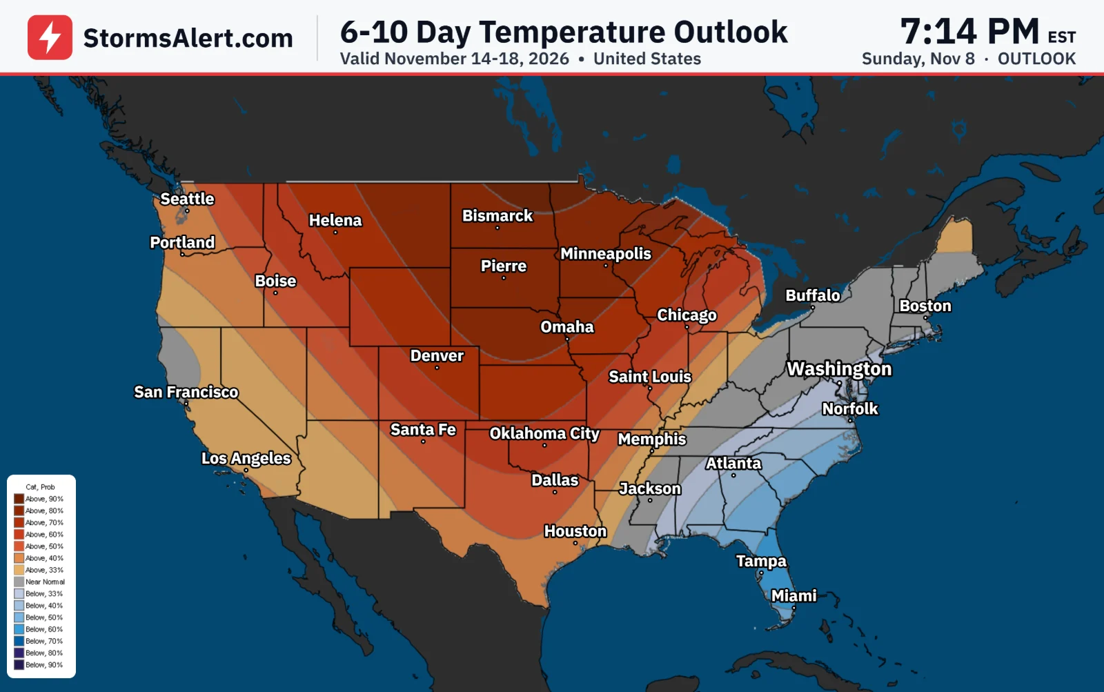
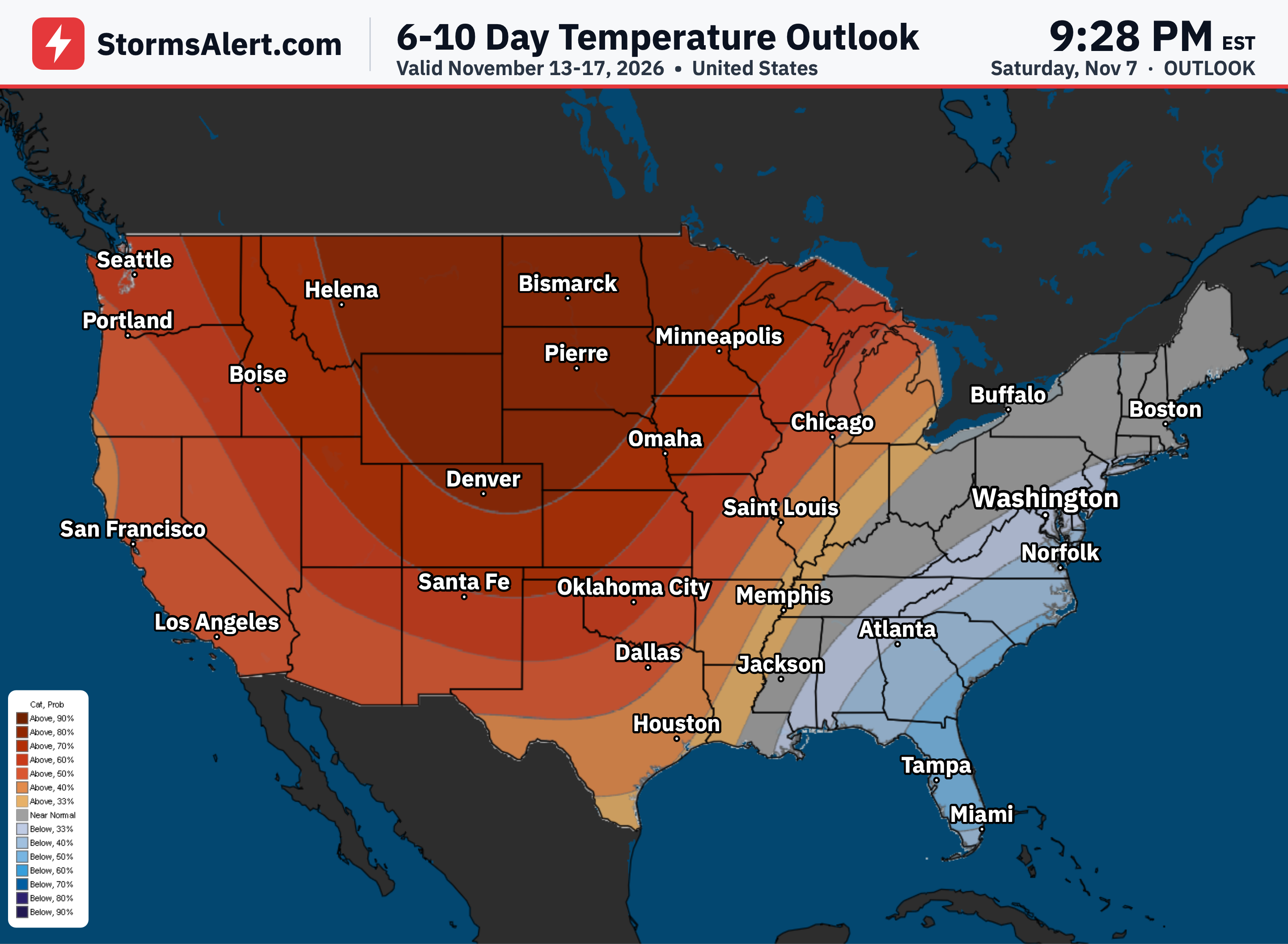
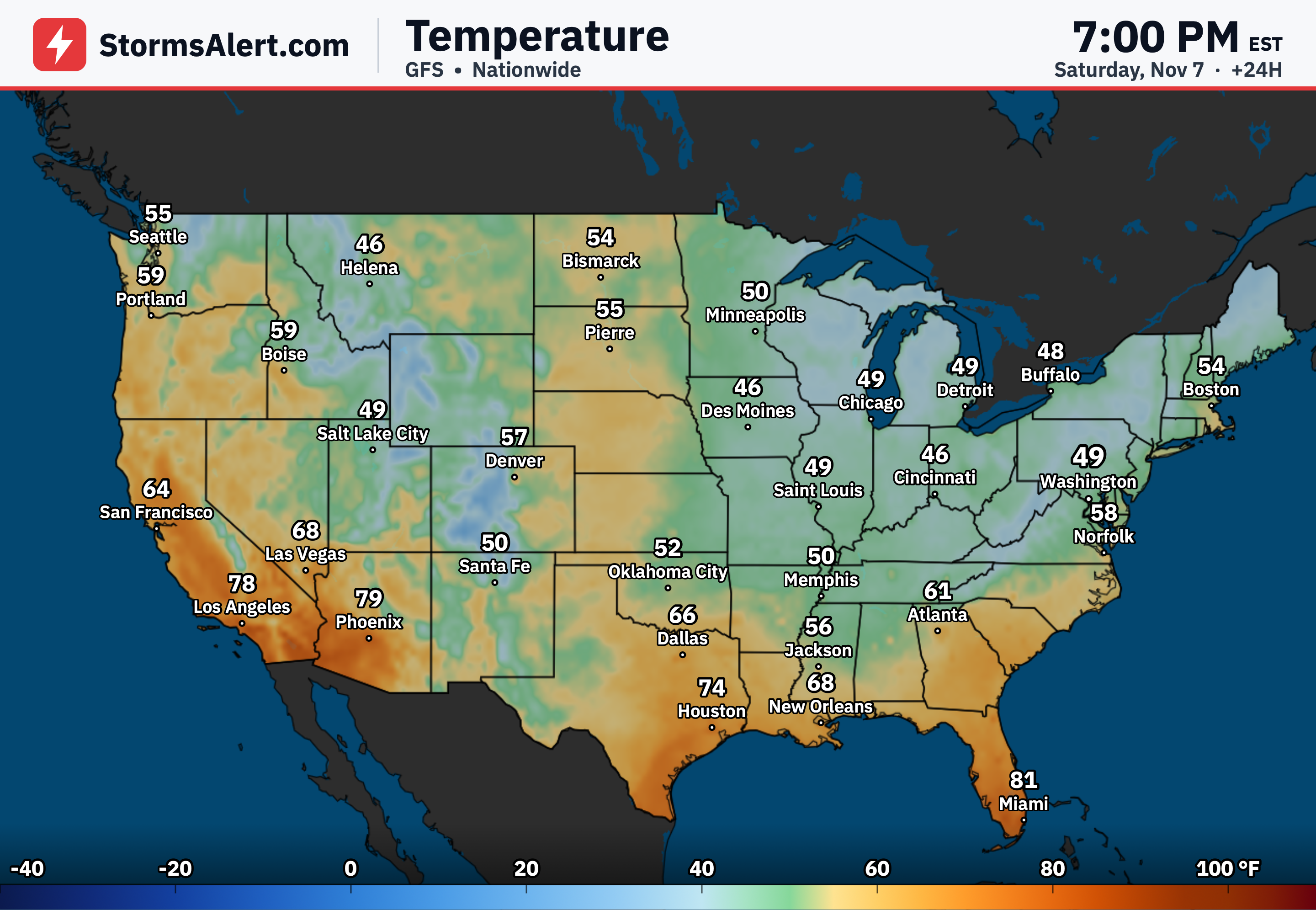
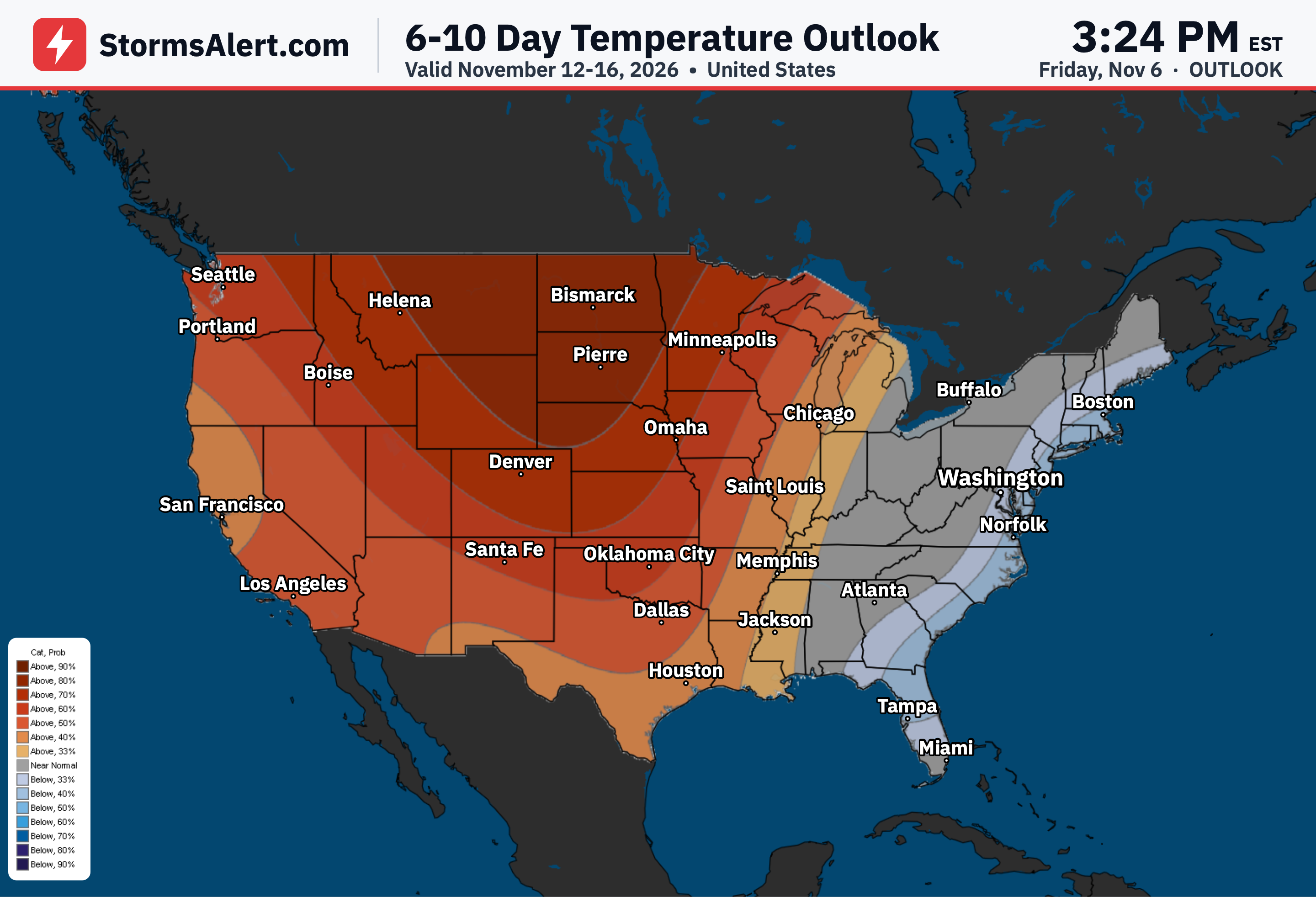
The Plains look mostly dry through early this week. Highs will run mild to unseasonably warm, settling in the 50s and 60s farther north and climbing into the 60s and 70s across the southern tier.
Southwest
Clouds and lingering precipitation will keep temperatures relatively cooler today across southern and western Texas and into portions of the Southwest, with highs only in the 60s and some 50s. Readings trend upward over the next couple of days and reach the 80s across the Desert Southwest.
West Coast
Southern California will share in the mild to unseasonably warm pattern, with highs climbing into the 80s. Florida also sees 80s, while the rest of the country outside the Texas rains and Pacific Northwest systems stays largely dry and pleasant.