Above Normal Temperatures Favored West to Central With Wetter Odds West
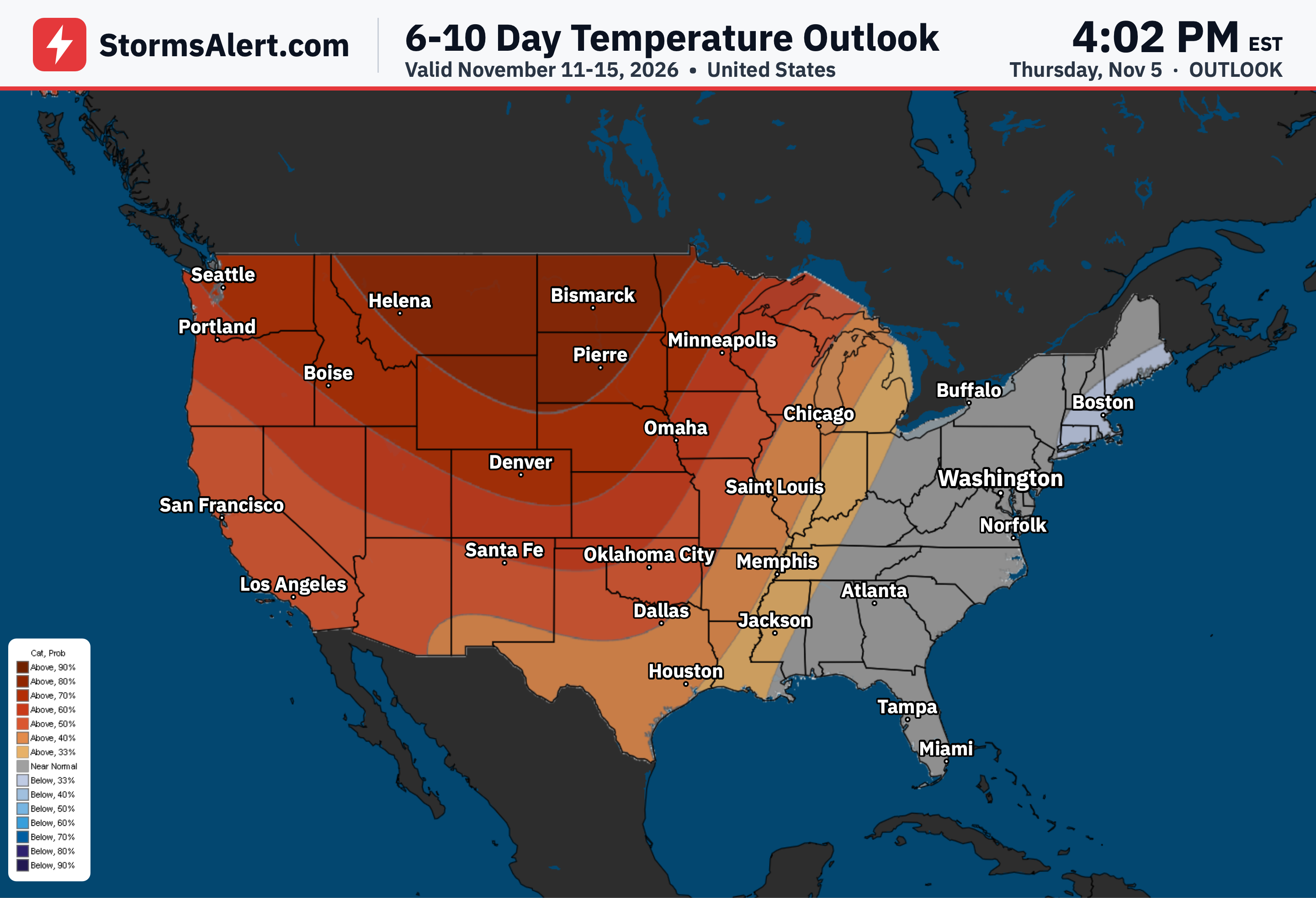
6-10 Day Temperatures
For November 12th to 16th, above normal temperatures are favored across the western and central United States, meaning warmer than typical for mid-November, with the strongest chances of 80 to 90 percent over the northern Plains and neighboring parts of Nebraska and Minnesota. Near to below normal temperatures are indicated over the eastern third of the country, with below normal readings favored near the Atlantic Seaboard. Overnight lows may approach freezing over portions of the Ohio and Tennessee Valleys later in the period, though average temperatures should stay close to or slightly above normal there. In Alaska, above normal temperatures are favored over the eastern half of the Mainland and Southeast Alaska with chances exceeding 50 percent in Southeast Alaska, while near to slightly below normal conditions are more likely over the western half of the Mainland and below normal temperatures are favored for southern portions of the Alaska Peninsula and the Aleutians. Hawaii is favored to see above normal temperatures. Confidence in this outlook is above average thanks to improved agreement among the forecast tools.
6-10 Day Precipitation
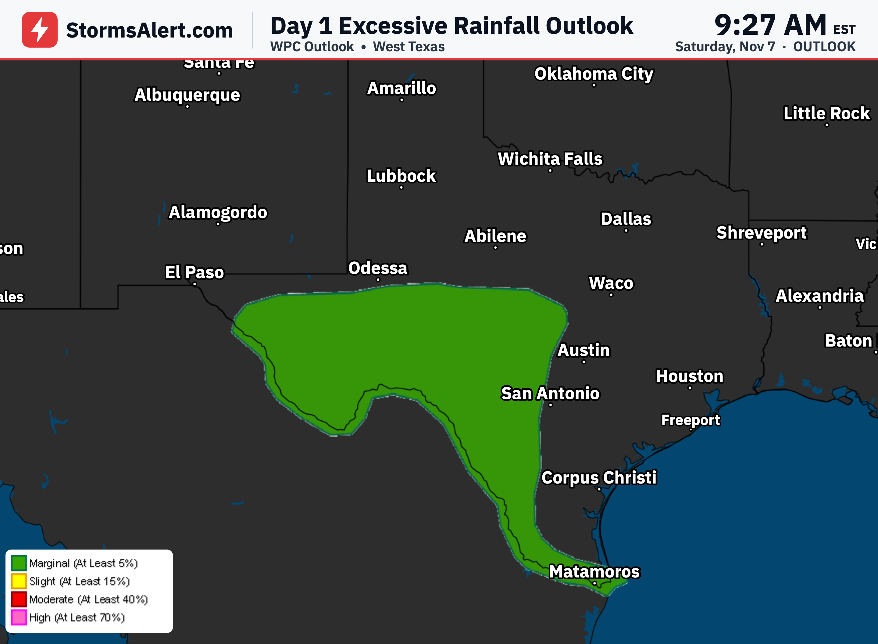
During November 12th to 16th, above normal precipitation is favored west of the Continental Divide, with 50 to 60 percent chances along most of the West Coast and maximum odds of 70 to 80 percent south of San Francisco Bay, pointing to a better chance of wetter than typical conditions. A disturbance is also expected to raise precipitation odds across much of the Southern Plains. Most of the rest of the contiguous United States leans toward below to near normal precipitation, with maximum chances of drier conditions at 40 to 50 percent across a large portion of the Central and interior Eastern states, though most of Florida is favored for above normal amounts. Above normal precipitation is favored for northern, central and eastern portions of Mainland Alaska plus northern portions of Southeast Alaska and the Aleutians, while most of the Hawaiian Islands have a slight tilt toward drier than normal conditions except for near normal over the Big Island.
8-14 Day Temperatures
Looking ahead to November 14th to 20th, above normal temperatures are favored across most of the contiguous United States, again milder than average for the time of year, with the highest confidence greater than 80 percent over eastern North Dakota and nearby northern Minnesota. Near normal temperatures are more likely along the East Coast as well as over northern and central California and nearby western Nevada. Anomalous warmth is expected to spread farther west across the Alaska Mainland, with near normal temperatures favored over far western portions of the Mainland and the Alaska Peninsula, and near to below normal temperatures over the Aleutians. Above normal temperatures continue to be favored across Hawaii. Confidence for this period is near average.
8-14 Day Precipitation
For November 14th to 20th, above normal precipitation is expected to spread across the western and central United States as far east as the Mississippi River and continue eastward across the Gulf Coast to Florida. Maximum chances of 50 to 60 percent stretch from southwestern Oregon southward across most of California and then eastward over the Lower Four Corners region, the Southern Plains and neighboring parts of the Lower Mississippi Valley. Below normal precipitation is favored for most of the Great Lakes region, the upper Ohio and Tennessee Valleys, most of the Appalachians and the Atlantic coastal plain as far south as the Carolinas. The outlook for Alaska remains uncertain with a slight preference toward near or above normal amounts, while Hawaii leans toward near normal precipitation.