Slight Excessive Rain Risk Along Mid-Atlantic to Southeast New England
Nationwide
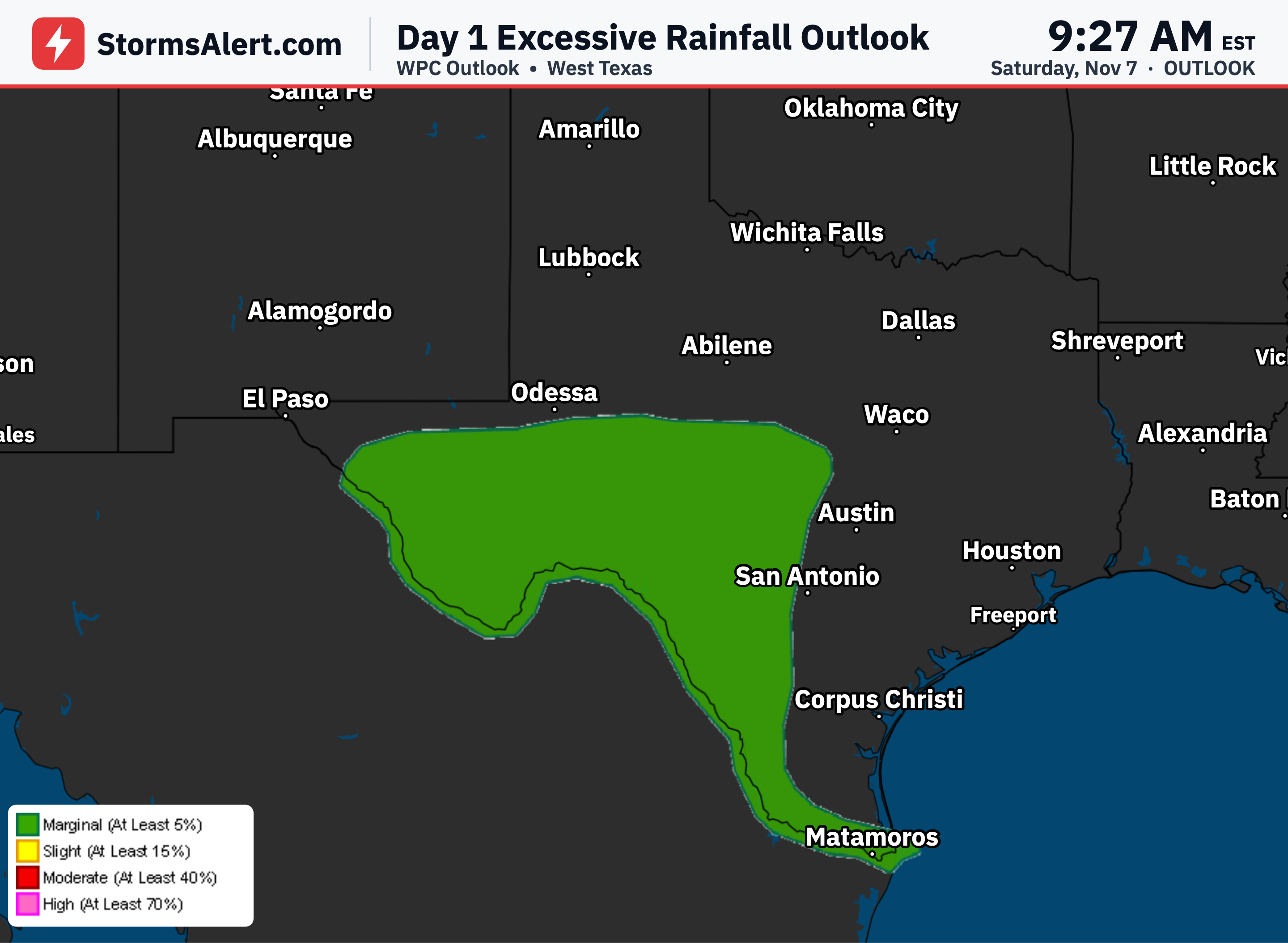
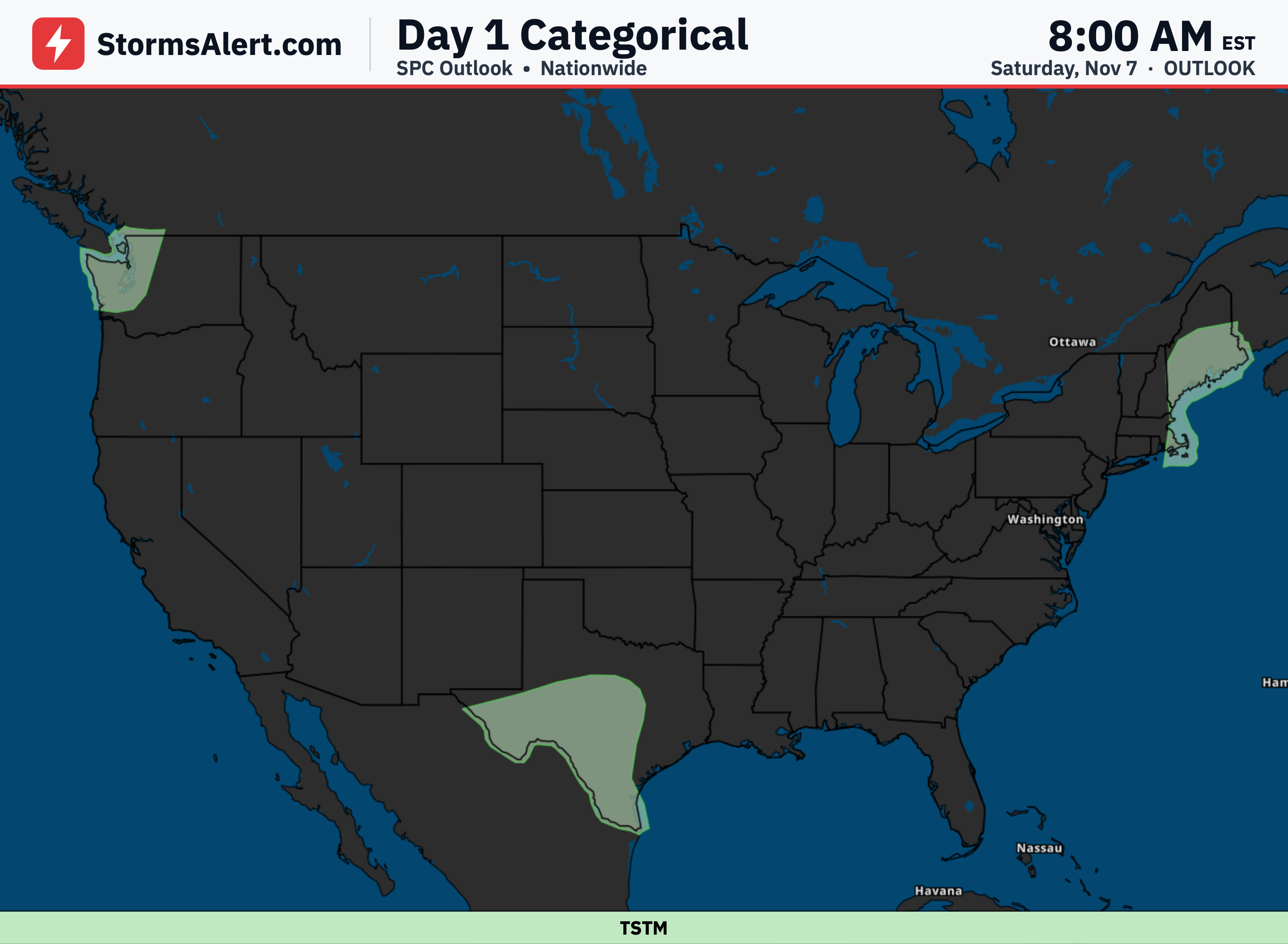
Most of the mainland United States will see relatively quiet weather over the next couple of days through November 8th. The main concerns center on heavy rain potential along the Mid-Atlantic coast into southeastern New England, an increasing heavy rain threat in South Texas this weekend, and winds plus rain arriving in the Pacific Northwest by Sunday morning.
Mid-Atlantic
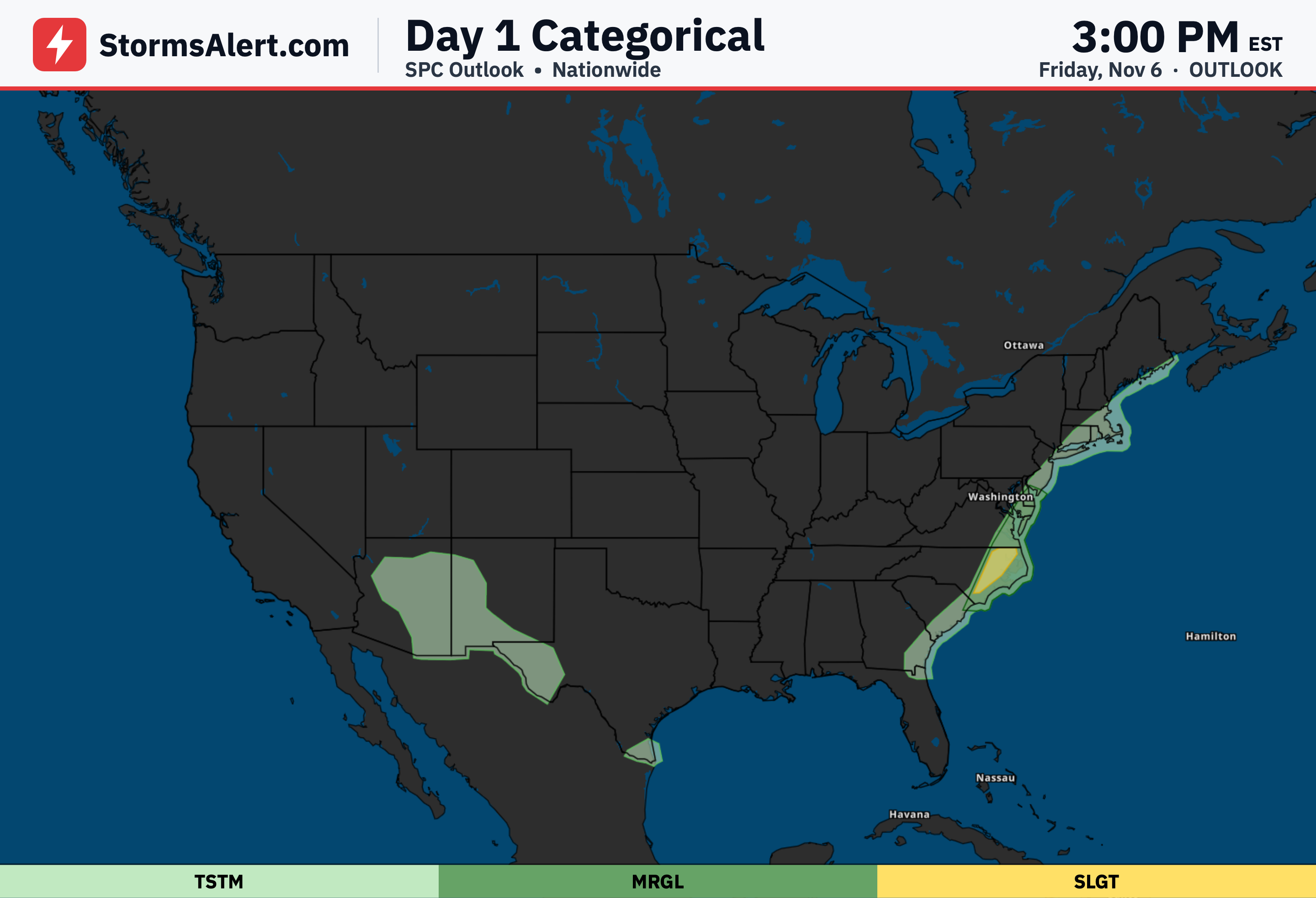
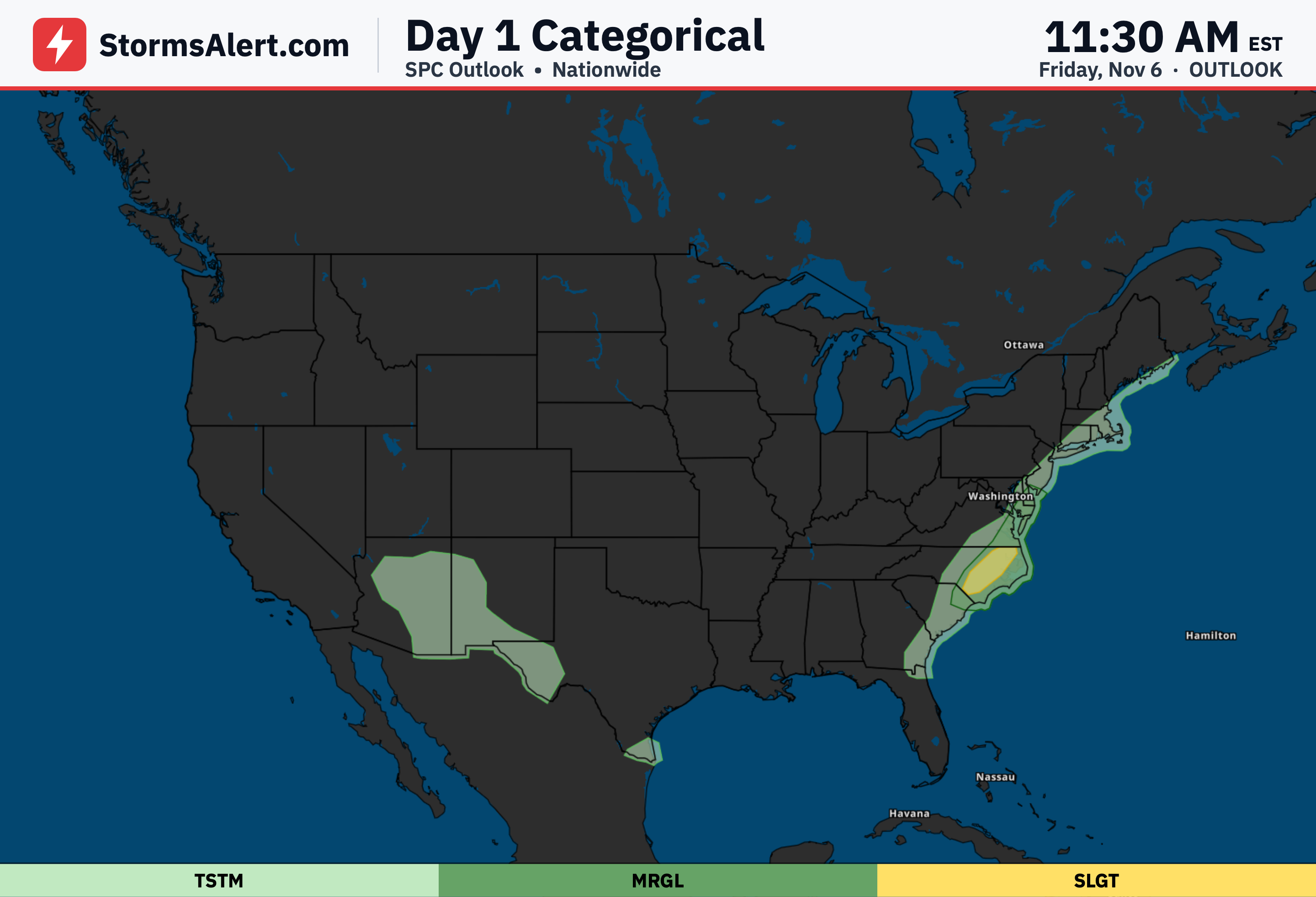
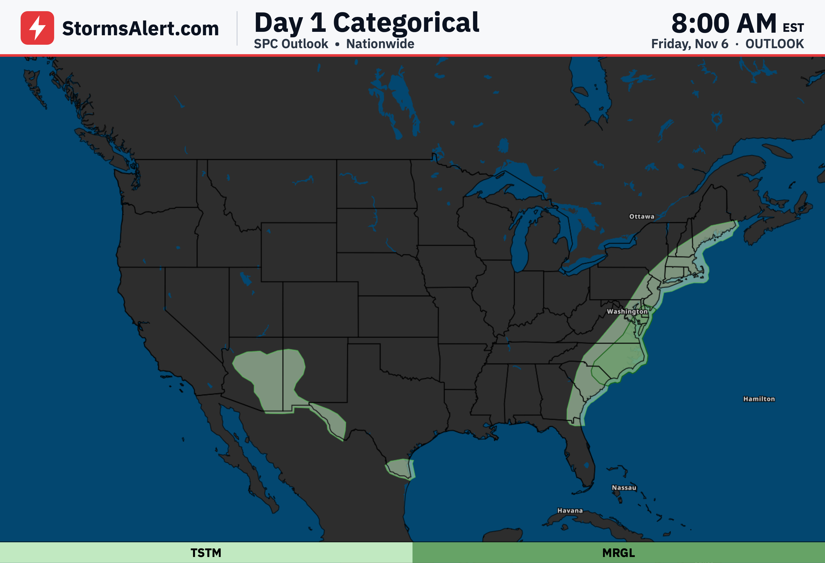
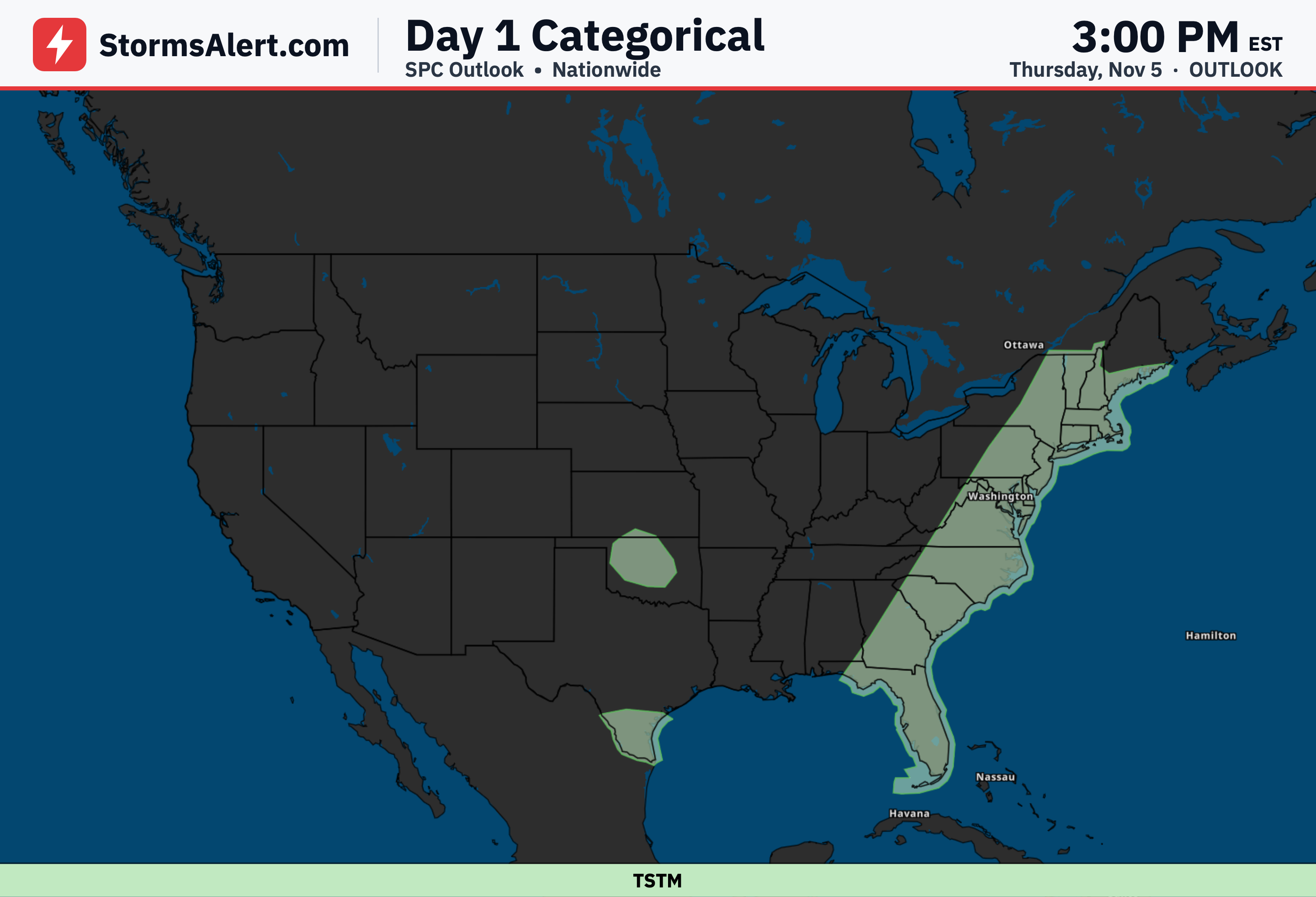
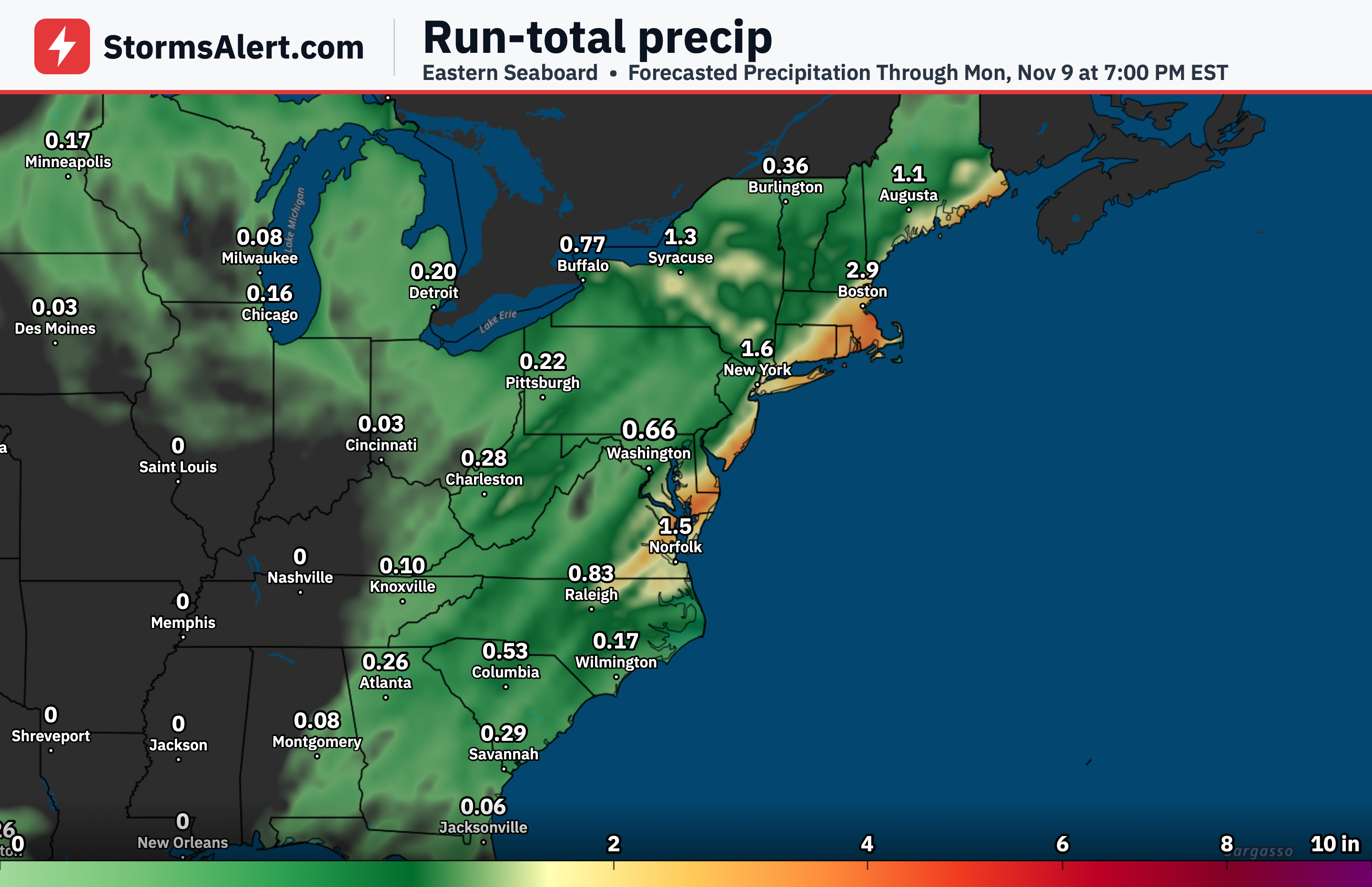
A slight risk of excessive rainfall is in place today along the Mid-Atlantic coast as low pressure waves move up the East Coast along a slow-moving front. Showers and embedded thunderstorms are expected to form and move northeast roughly along the I-95 corridor under warmer and moister air than typical for early November, with most of the activity sliding offshore by this evening.
Southeastern New England
Southeastern New England will remain under a heavy rain threat through tonight into Saturday morning as a low consolidates south of Long Island and keeps the front stalled in place. Drivers should watch for ponding on roads and allow extra travel time while the slight excessive rainfall risk continues.
Great Lakes
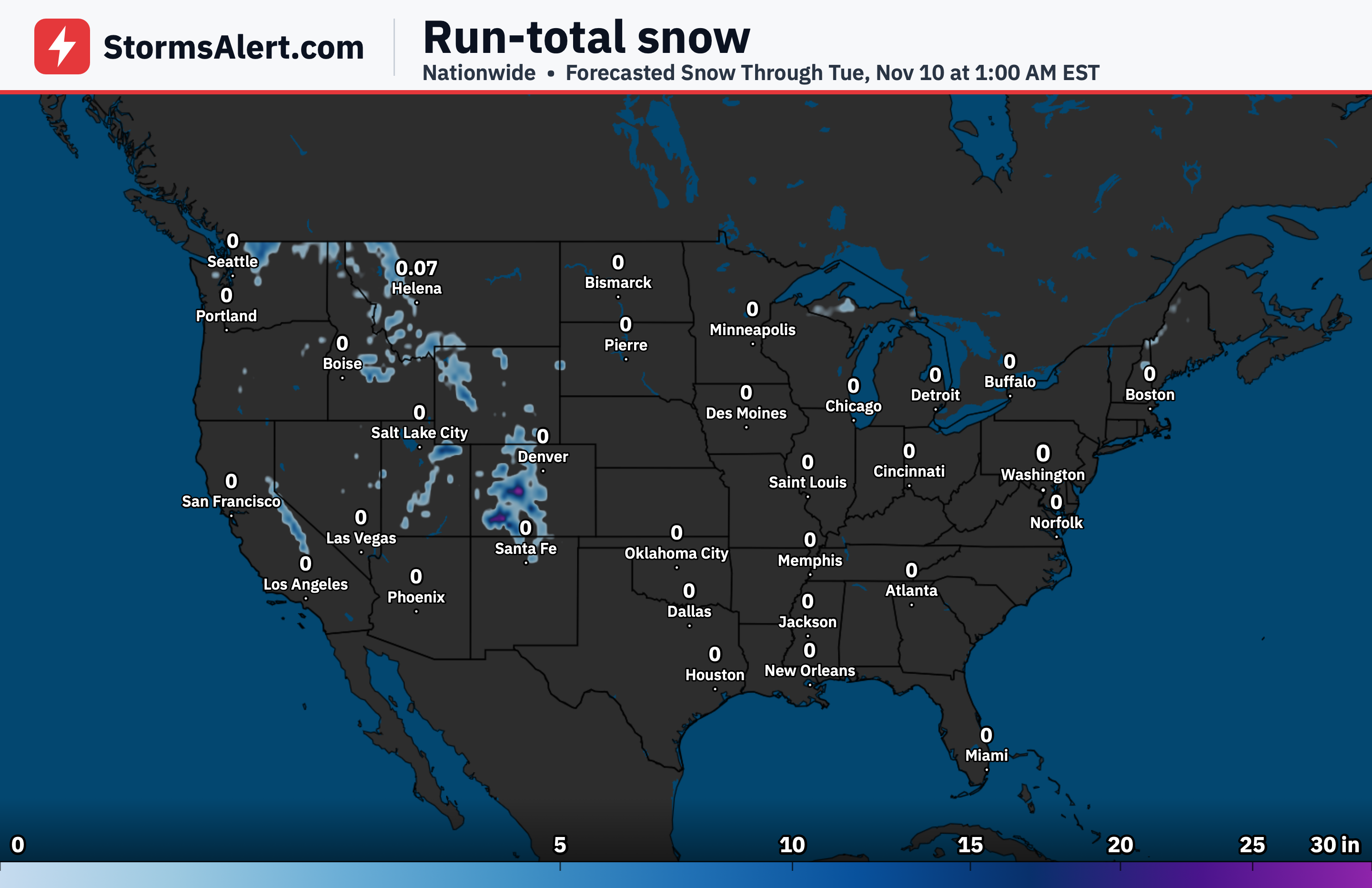
An upper-level low sliding across the Great Lakes will bring a round of cold rain today, with the potential for some wet snow mixing in near the Canadian border. The same system will help push the coastal front away from New England later on Saturday.
Interior New England
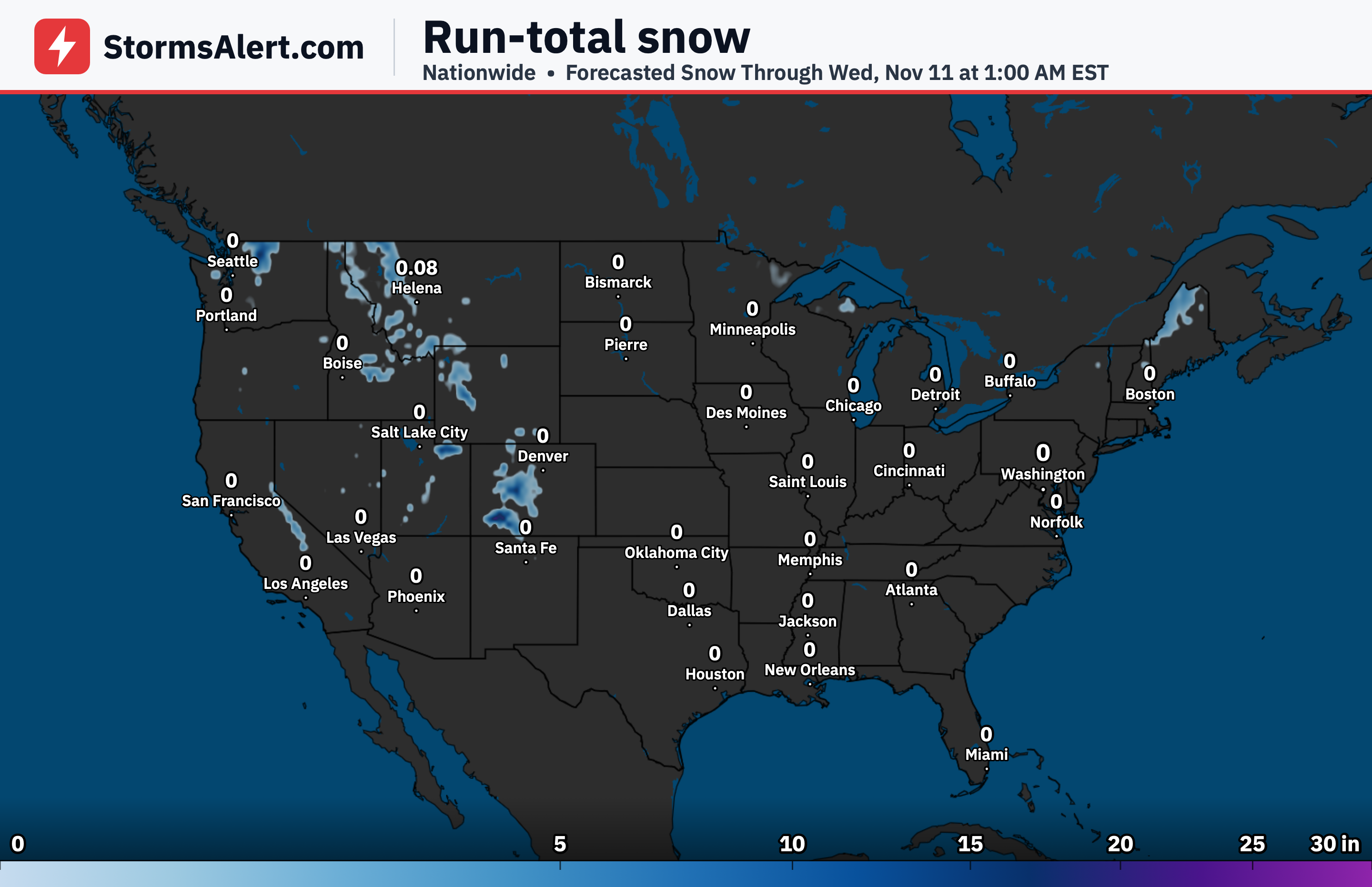
By Sunday morning, interior New England can expect wet snow across the higher elevations as colder air arrives with the departing system. Travelers in the mountains should prepare for slick conditions on elevated roads early Sunday.
South Texas
An upper-level low is expected to bring a gradually increasing threat of heavy rainfall across South Texas as the weekend progresses. Locally heavy downpours could lead to brief flooding concerns, especially in low-lying or poorly drained areas.
Pacific Northwest
A strong Pacific system is forecast to reach the Pacific Northwest early on Sunday, bringing increasing winds and rain. Residents should secure loose outdoor items and watch for wet, blustery conditions that could affect morning travel on November 8th.
Plains and Ohio Valley
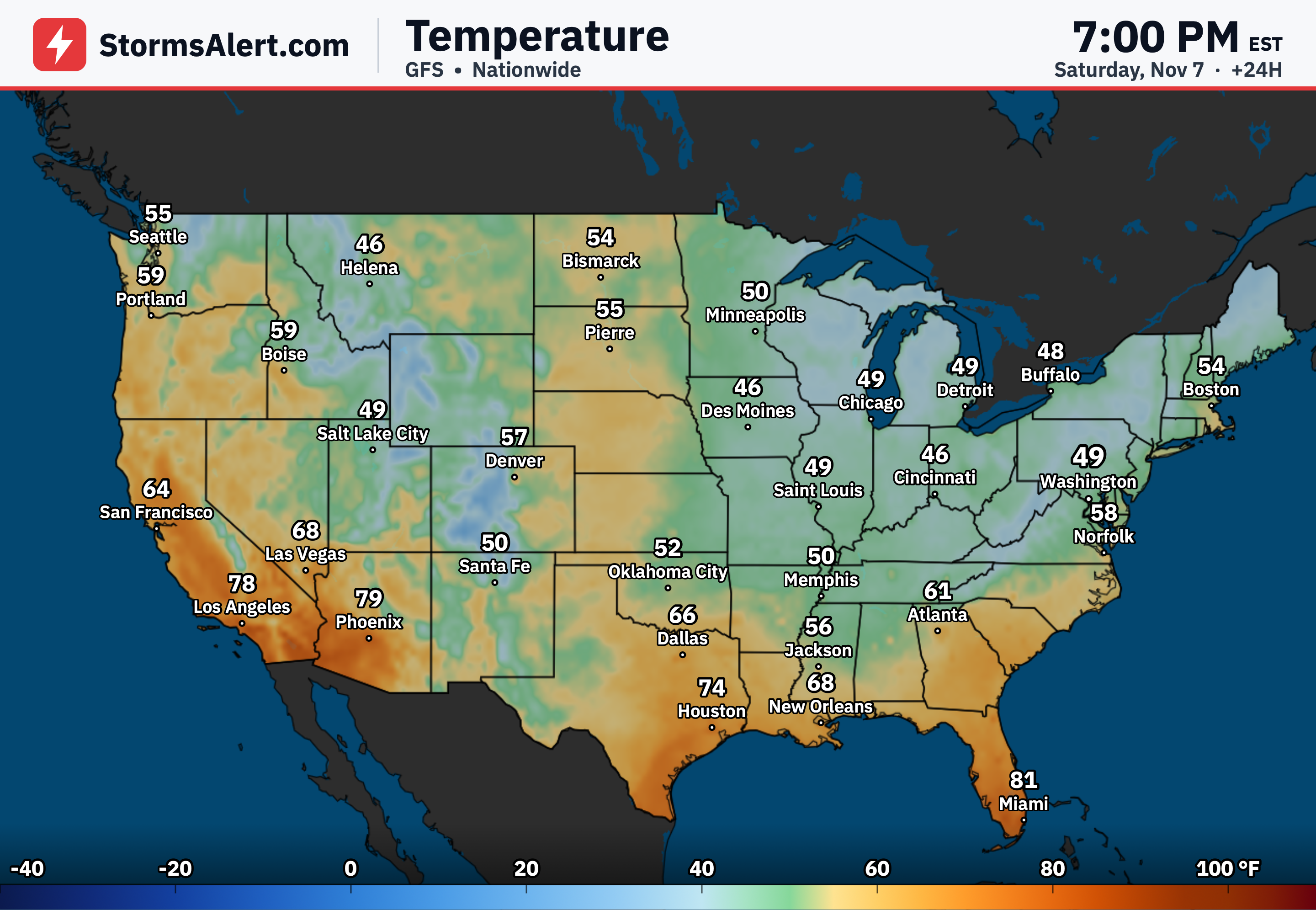
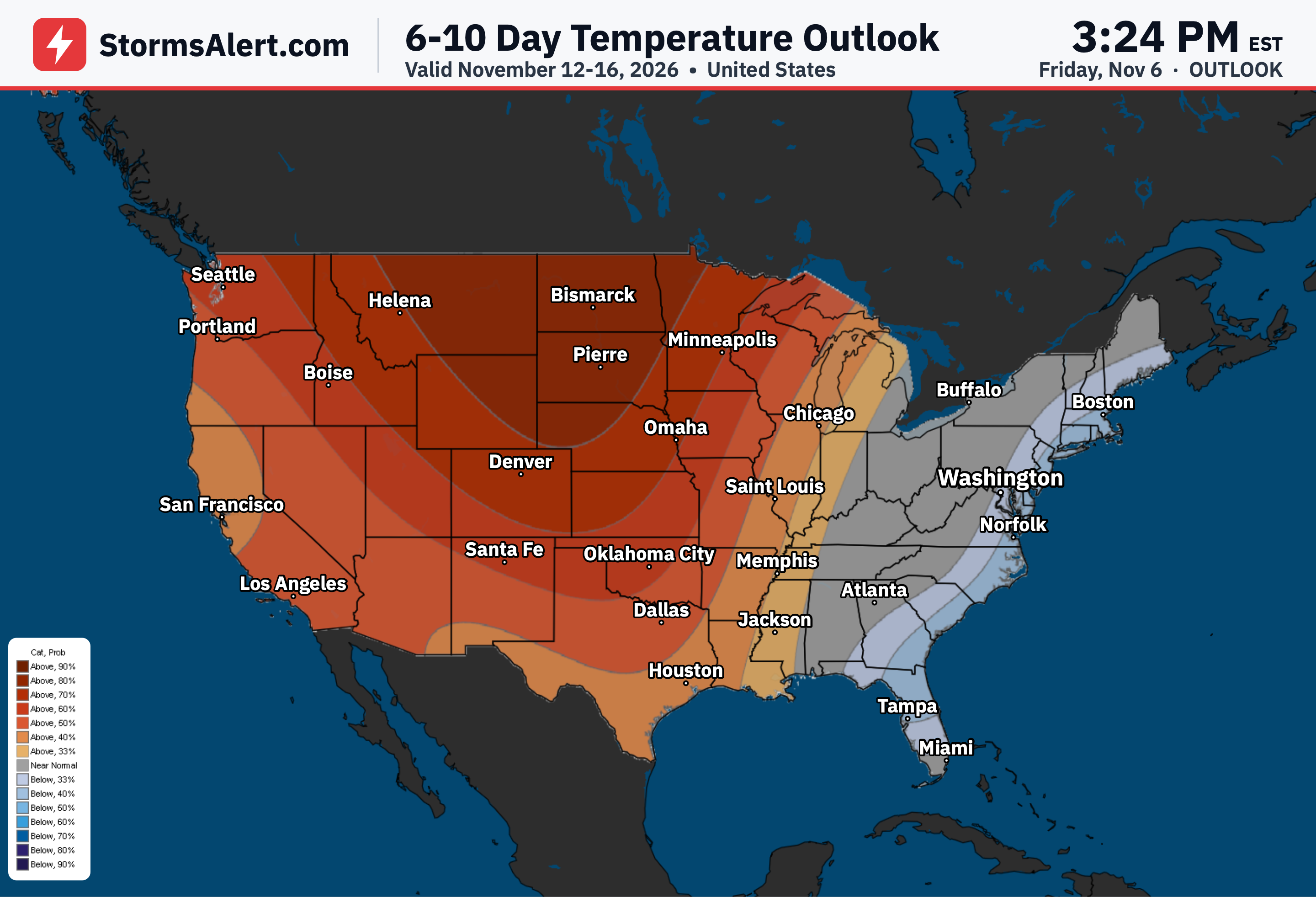
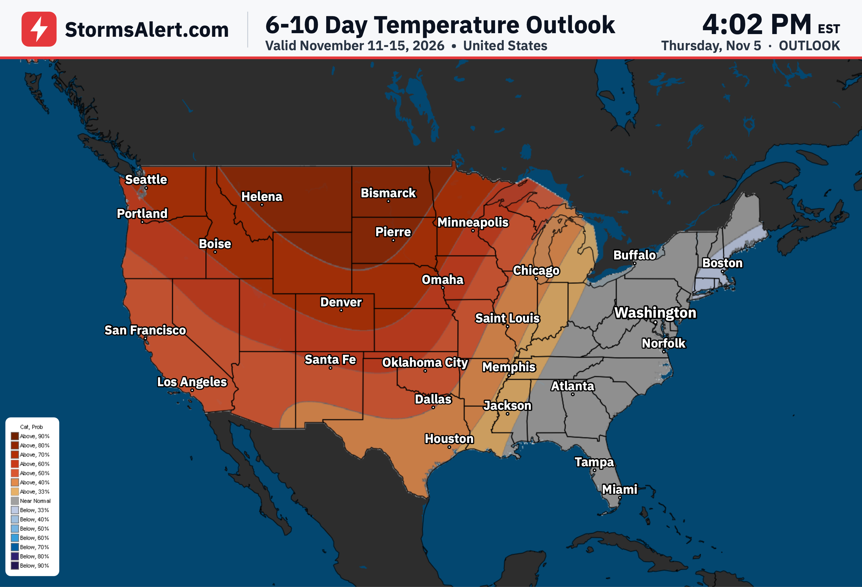
A clipper system moving across southern Canada will deliver dry and milder than normal conditions for the northern Plains. Meanwhile, colder than normal temperatures tied to high pressure will stretch from the southern Plains to the Ohio Valley and reach into the Mid-Atlantic on Saturday.