Heavy Rain Threat Shifts Into Southern Texas This Weekend
Nationwide
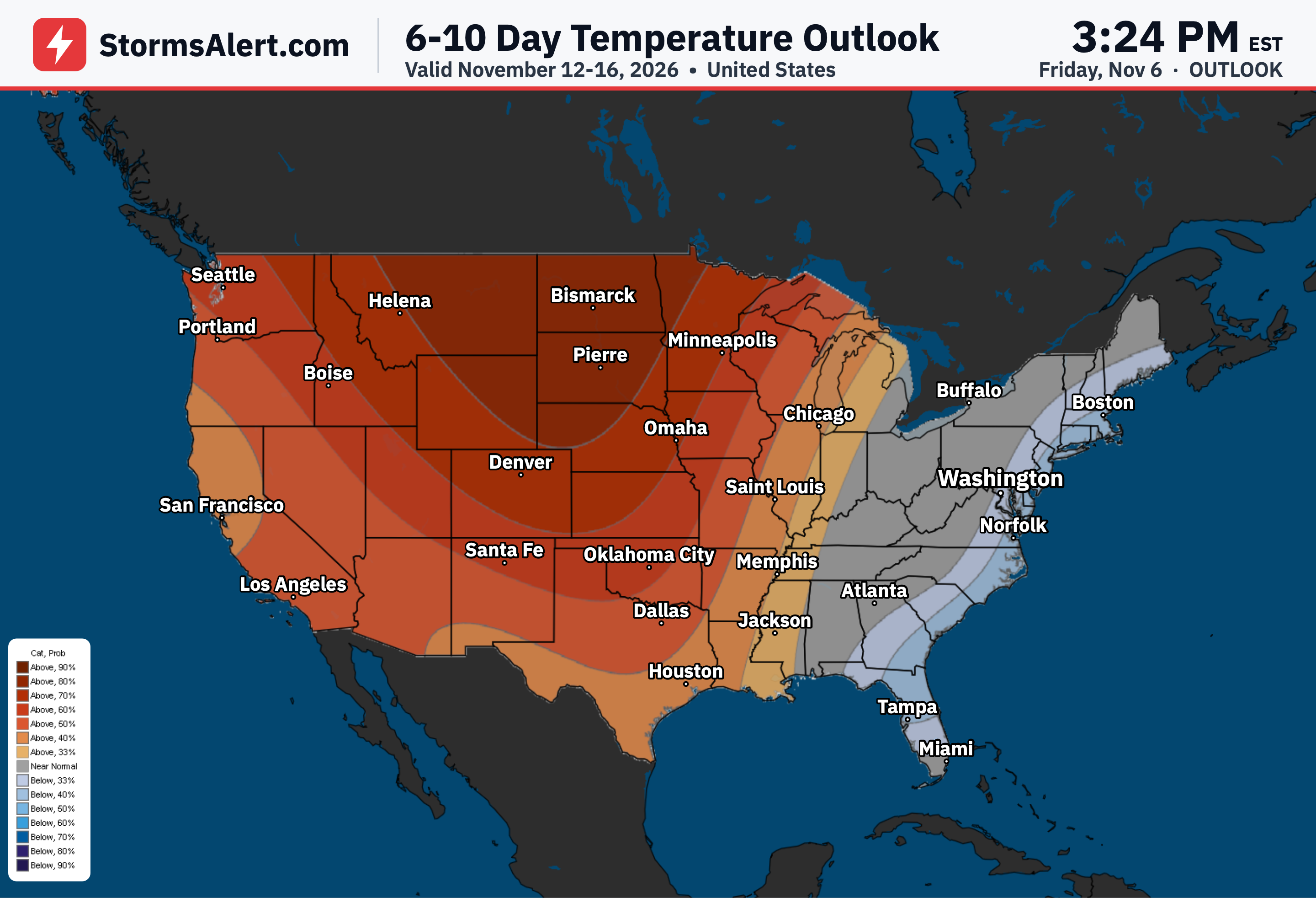
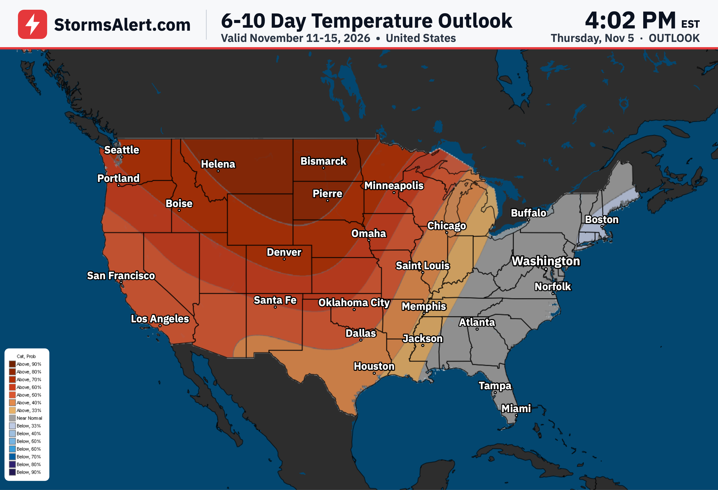
A large high pressure system sitting over the middle of the country is extending the recent stretch of fair weather for most places through the next couple of days. Expect cooler than normal conditions from the eastern United States into the Deep South, while the northern High Plains stay dry and much milder than usual.
Northeast
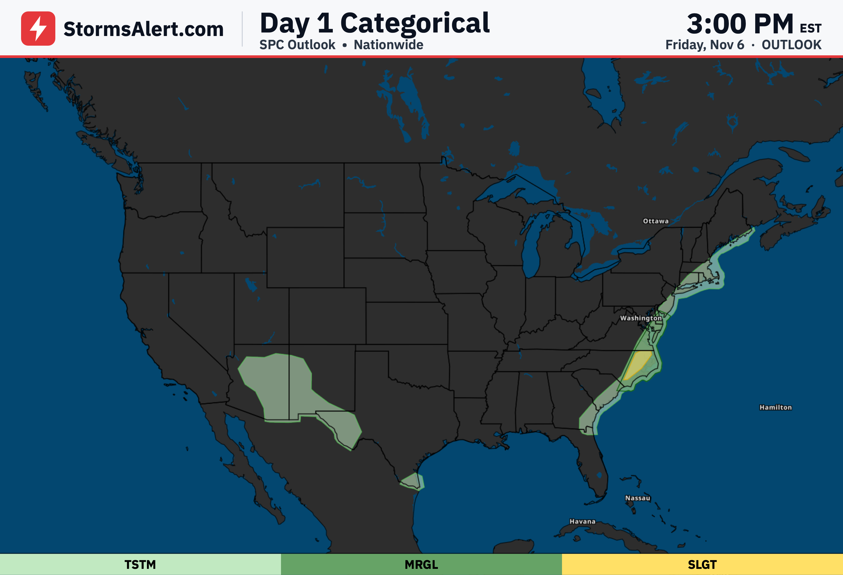
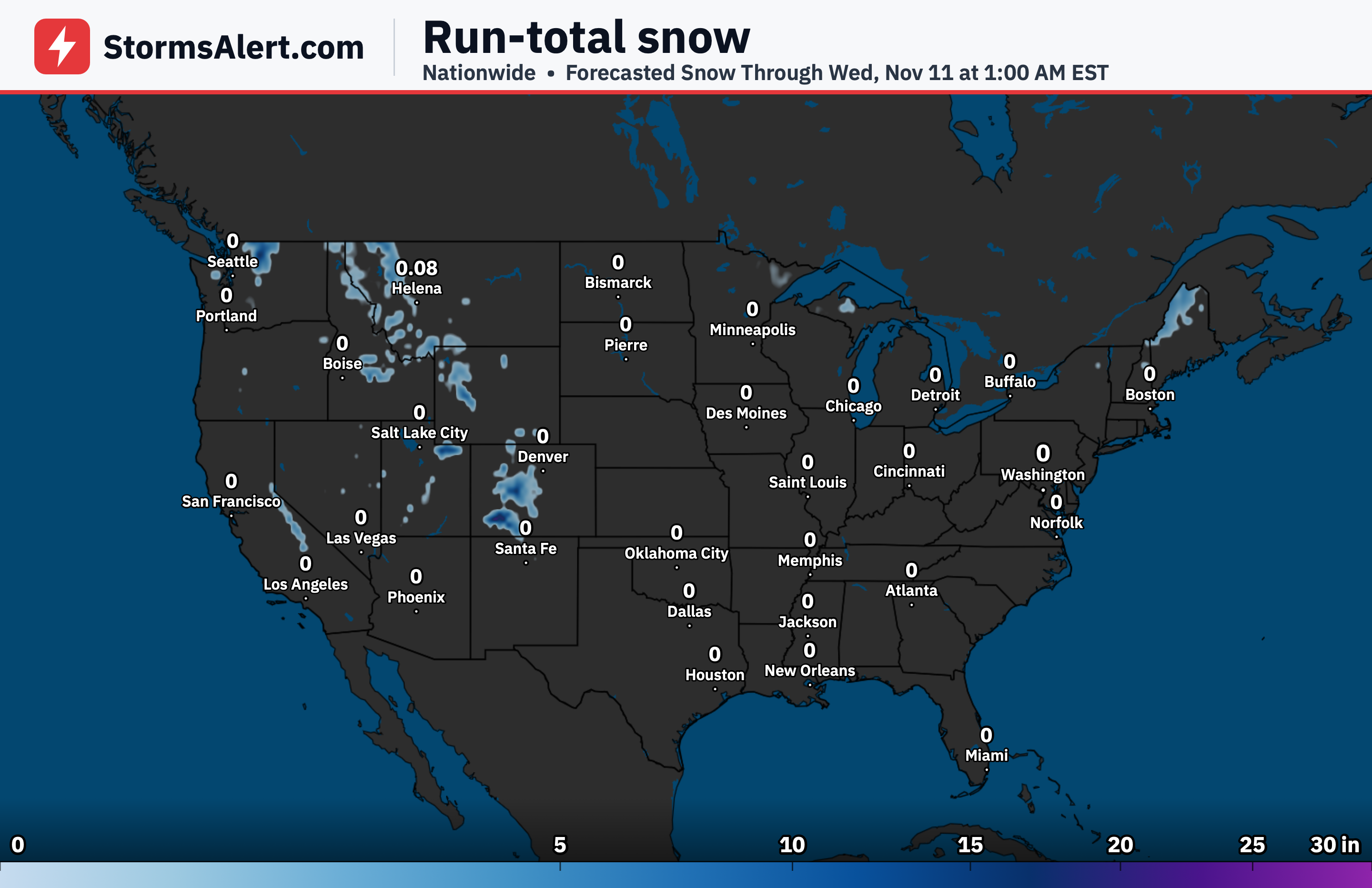
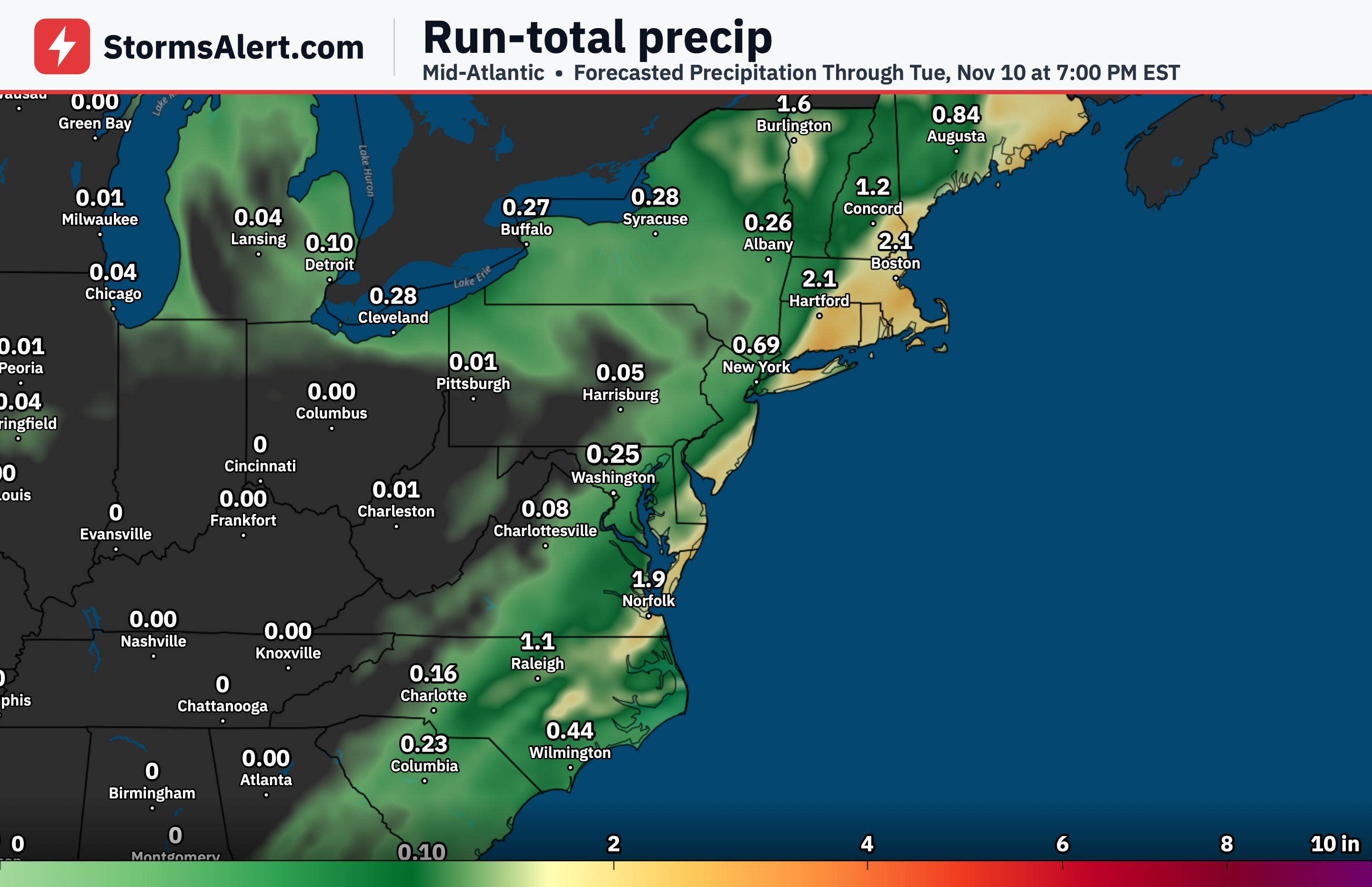
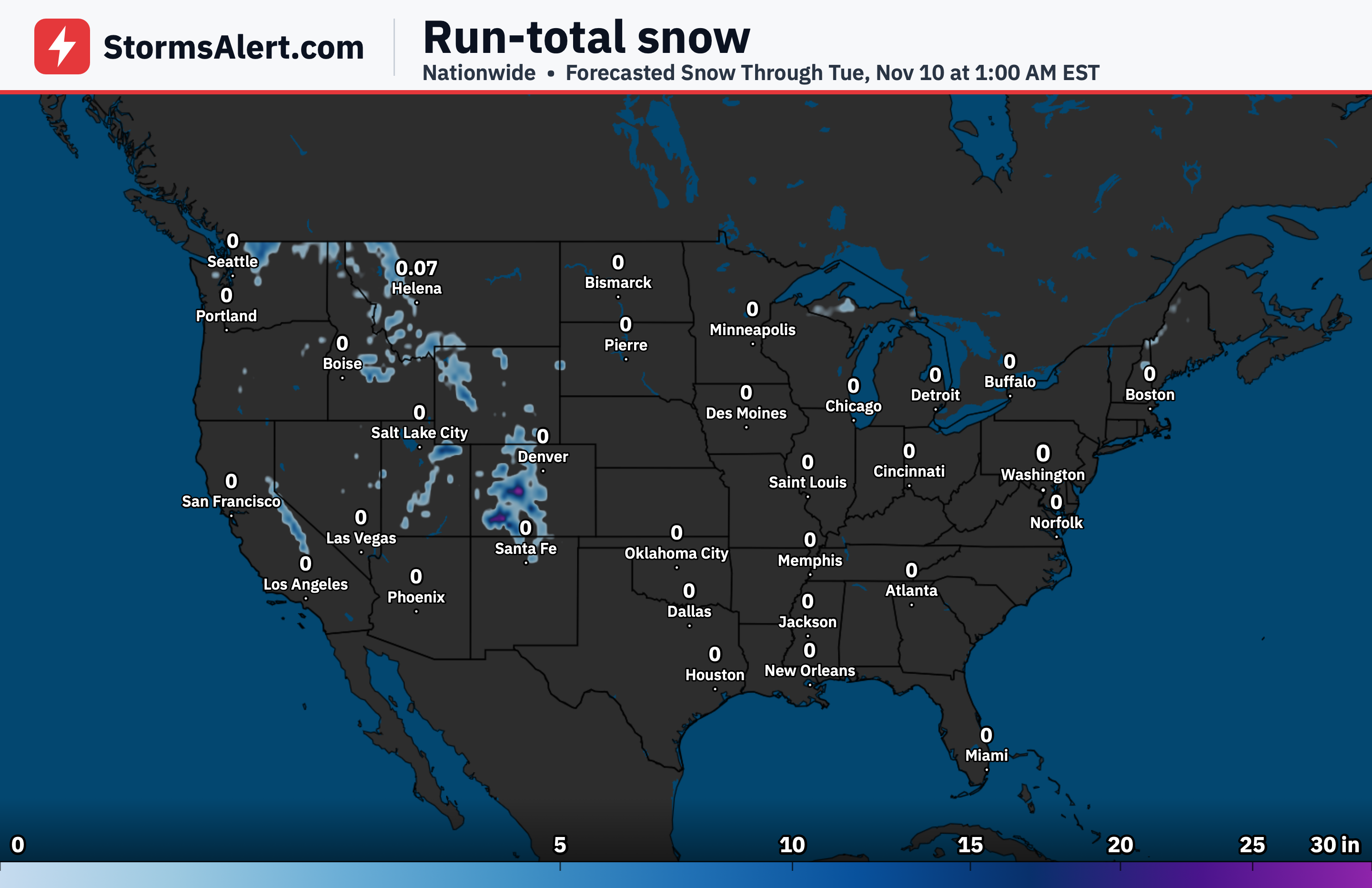
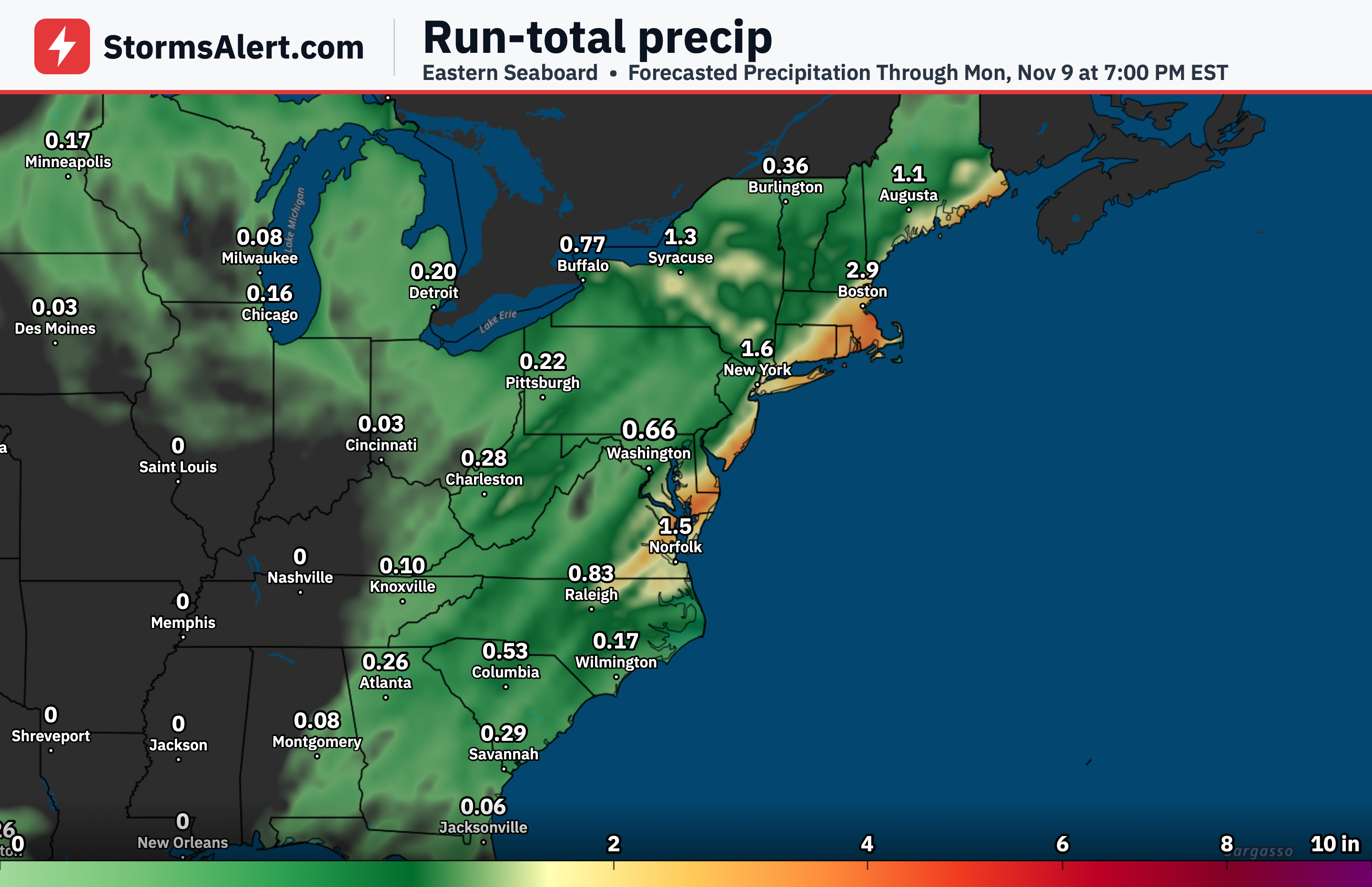
Heavy rainfall is exiting southeastern New England early this morning as the front moves off the East Coast. Colder air will support a round of cold rain from the lower Great Lakes to New England today into tonight, and some wet snow flakes could mix with the rain over the higher elevations of New England tonight into Sunday morning. Maine will be the last area to clear out by Sunday night.
Great Lakes
The same system bringing the cold rain will affect the lower Great Lakes today into tonight. By Sunday night into Monday morning, another system will send another round of rain for the lower Great Lakes and upstate New York by early Monday.
Southeast
The large high pressure system will keep cooler than normal conditions in place for the eastern United States to the Deep South through the next couple of days. This means a stretch of drier and chillier weather for daily plans across the region.
Northern Plains
Dry and much milder than normal conditions are expected to prevail across the northern High Plains. Gusty west to southwesterly winds will accompany the mild air on the south side of a system moving through Canada.
Southwest
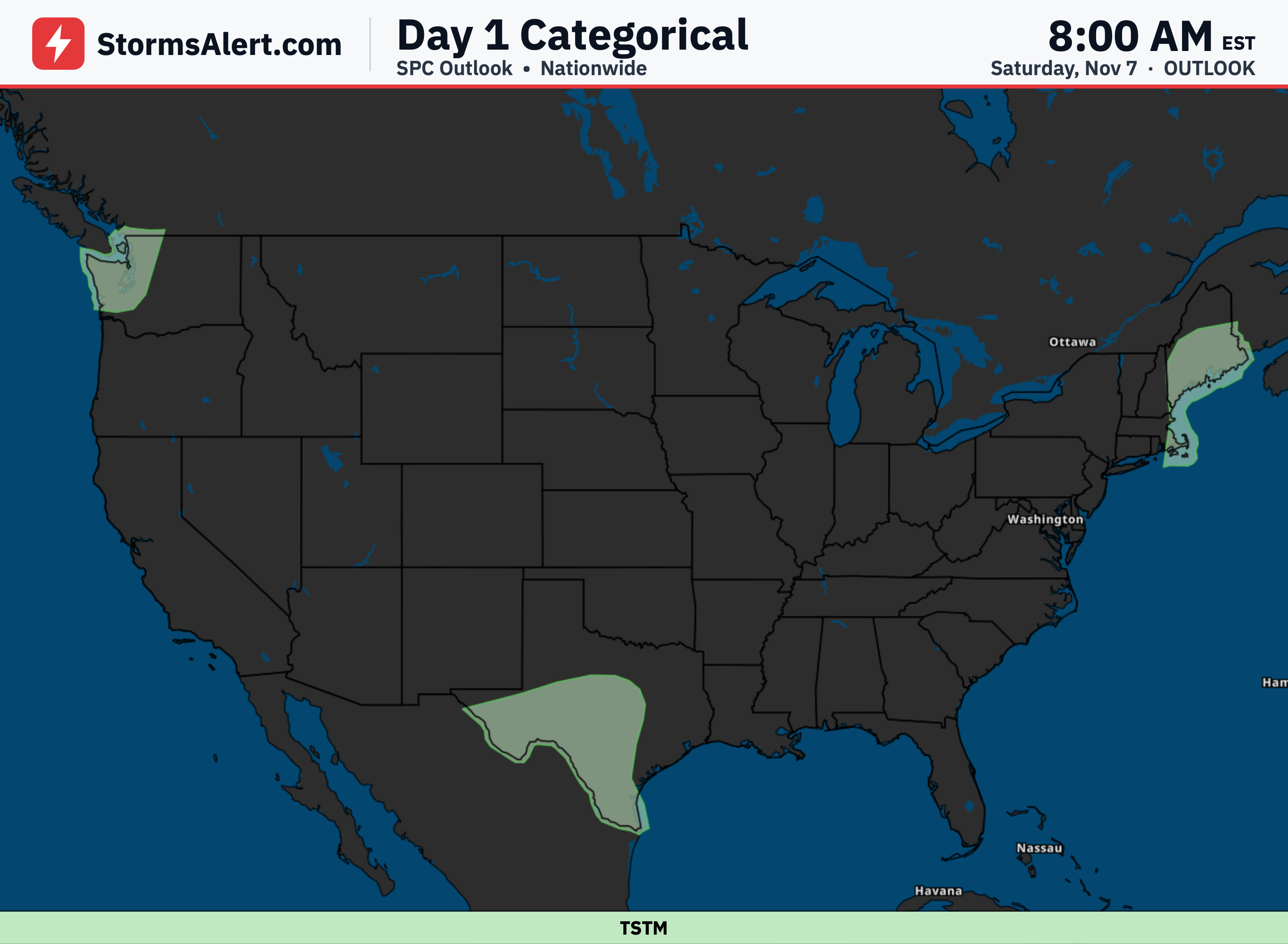
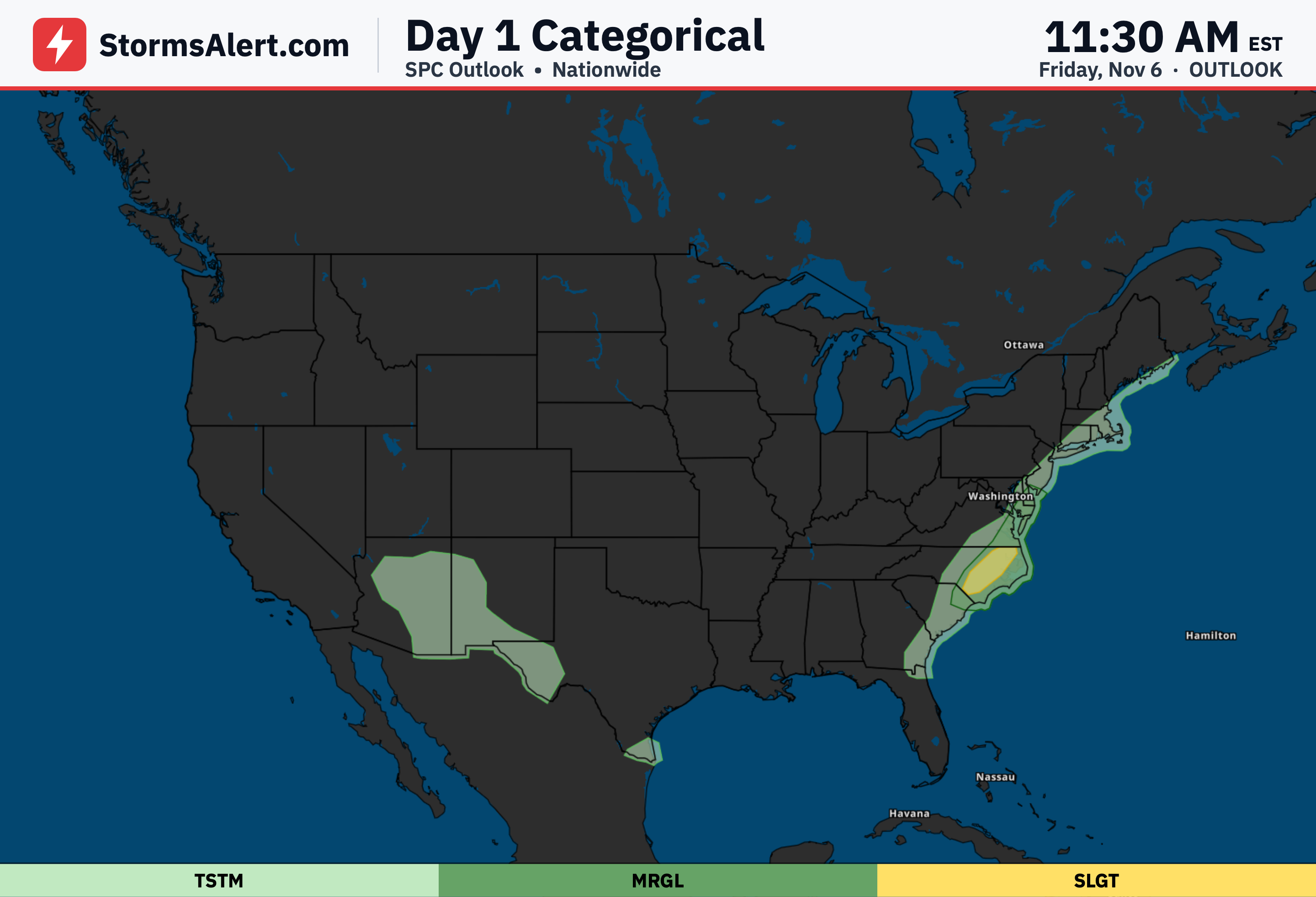
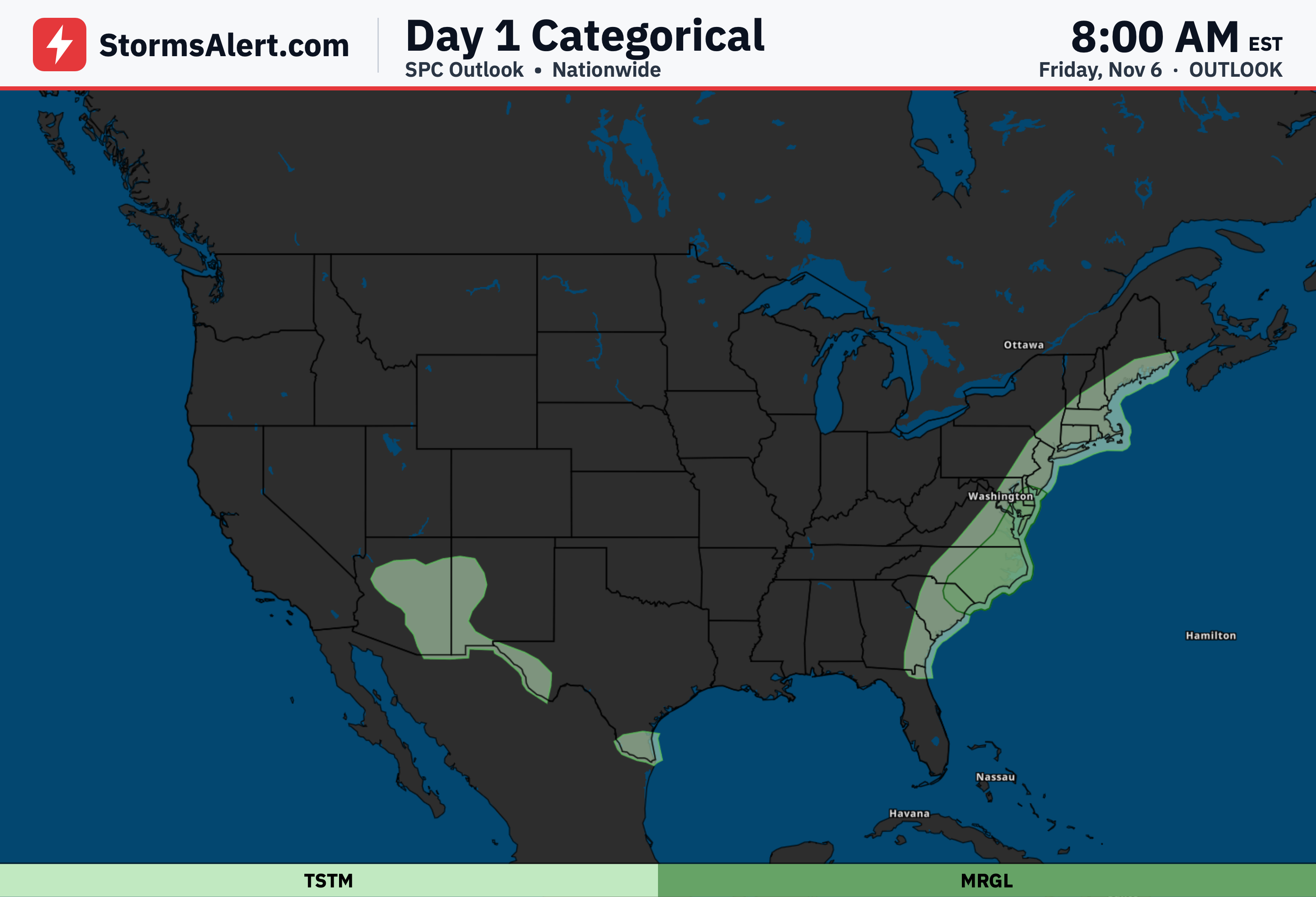
An area of moderate to locally heavy rain is falling from southern New Mexico to western Texas early this morning. This rain will gradually shift southeastward through tonight and into Sunday.
Southern Texas
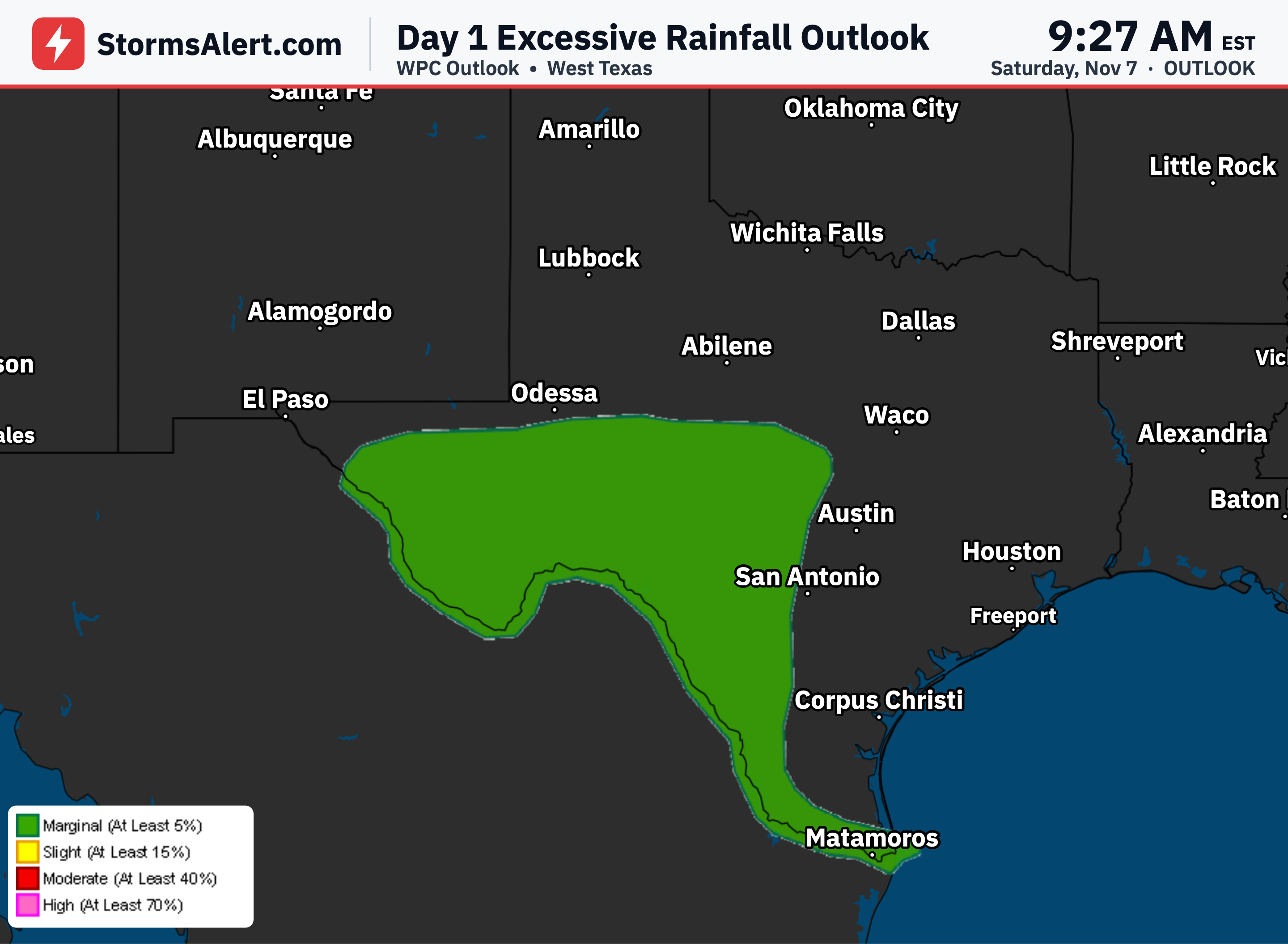
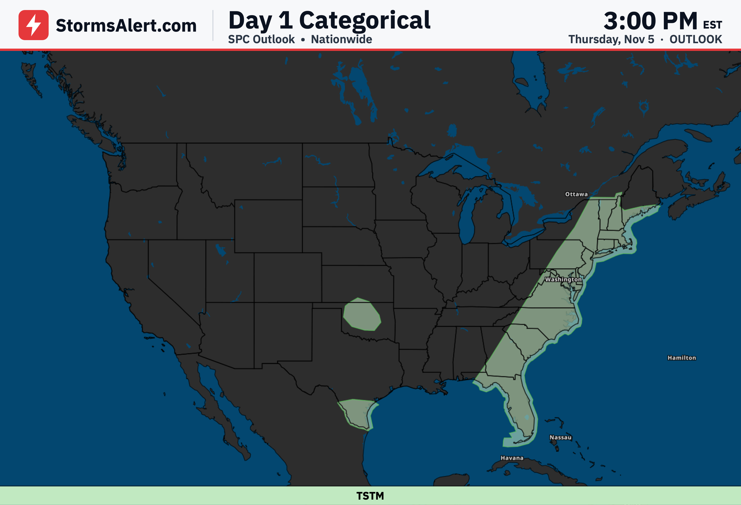
Gulf moisture will feed into southern Texas from Sunday through Sunday night and into Monday, where a few inches of rain is expected to fall. There is a slight risk of excessive rainfall for southern Texas from Sunday morning to Monday morning, so watch for possible travel impacts.
Pacific Northwest
The Pacific Northwest will enter a period of unsettled weather as a couple of strong and quick-moving storms head onshore over the next couple of days. The first has already made landfall early this morning, and the next round of moderate to locally heavy showers is expected to arrive tonight with gusty winds.