Slight Flood Risk Builds Over South Texas This Weekend
West Texas
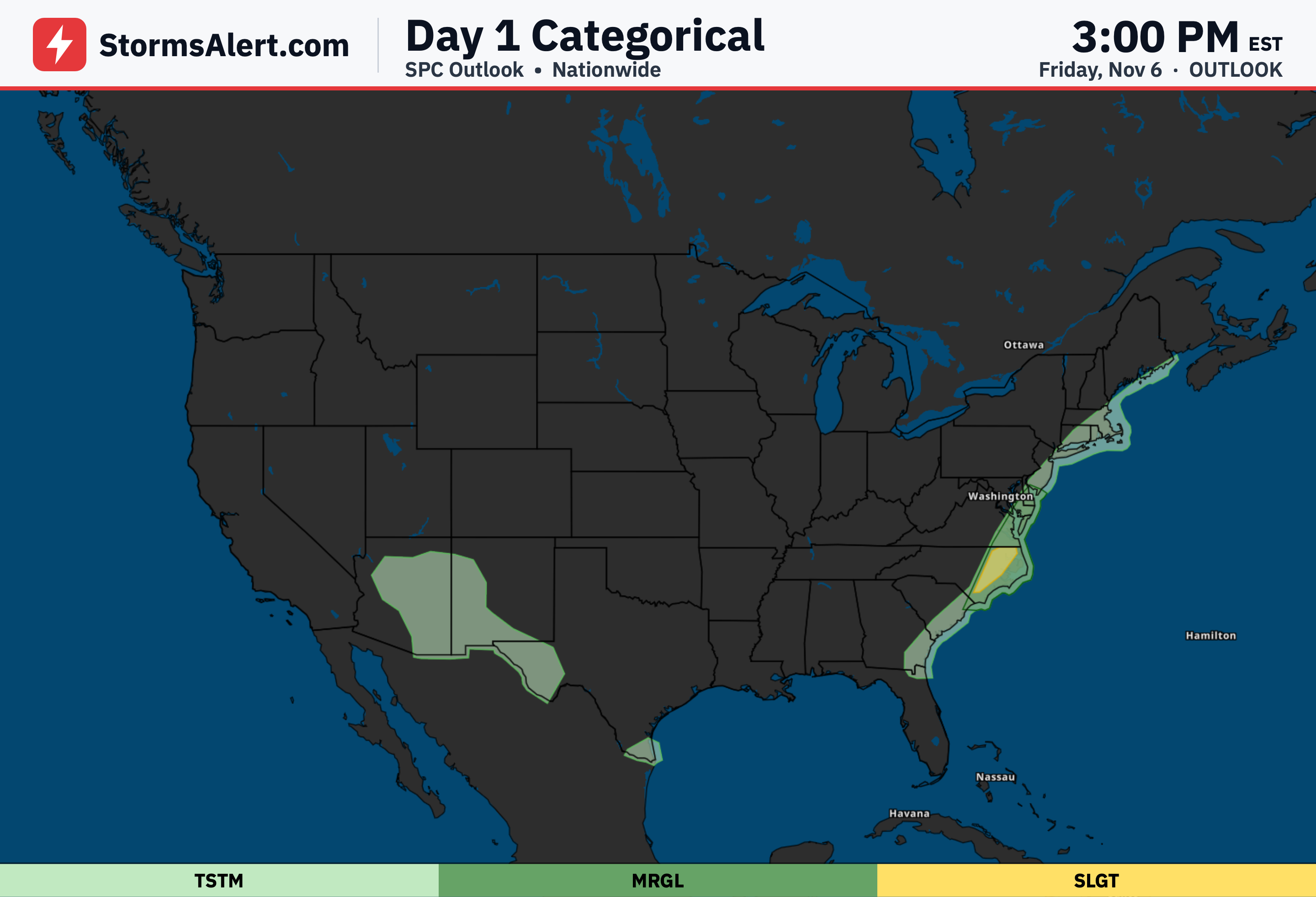
Friday, November 6th, into early Saturday brings a Marginal risk of excessive rainfall across parts of South, Central, and West Texas. Isolated flash flooding is possible, especially in urban zones along the Rio Grande Valley and nearby plateaus where runoff can build quickly. Locally 1 to 2 inches of rain may fall, mainly in the evening and early morning hours, with the heaviest chances from Del Rio toward Laredo and into the Edwards and Stockton areas. Low water crossings and city streets could see brief flooding, but the overall threat stays limited.
Hill Country
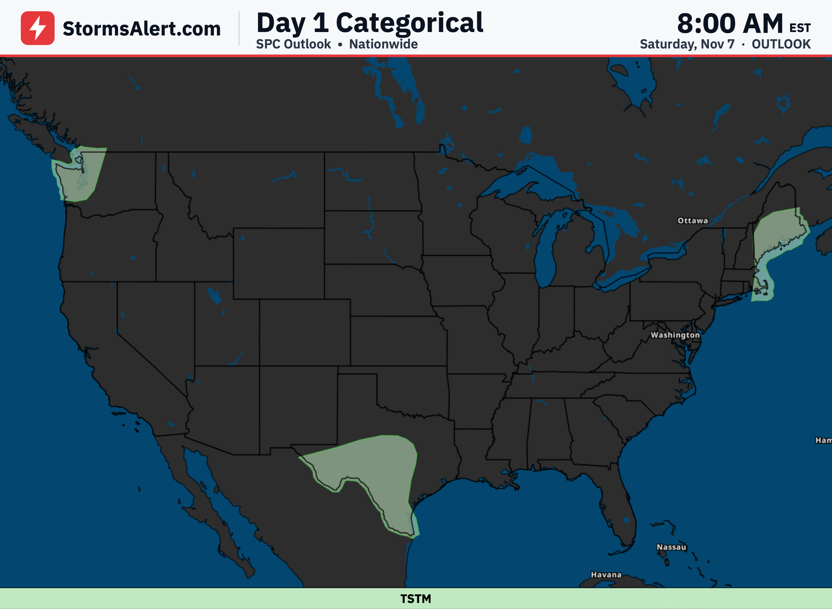
Saturday, November 7th, into early Sunday carries a Slight risk of excessive rainfall across south-central Texas, including the Hill Country. Scattered flash flooding is possible as moderate to heavy rain settles in, with a broad area of 2 to 3 inches and locally 4 to 6 inches or more. The heaviest totals focus around the Hill Country and southeast toward the King Ranch area. Small creeks and low water crossings are most at risk; never drive through flooded roads.
South Texas
The same Saturday, November 7th, into early Sunday period also brings a Slight risk farther south across South Texas and the Rio Grande Valley. Scattered flash flooding remains possible, with the core of the heaviest rain between Laredo and Corpus Christi and extending toward Brownsville. Rainfall of 2 to 3 inches is widespread, and some spots could see 4 to 6 inches or higher. City streets and low-lying areas may flood where rain falls repeatedly; turn around if you encounter water on the road.
Southern Coast
Sunday, November 8th, into early Monday sees the pattern begin to break down, leaving only a Marginal risk of excessive rainfall across portions of South Texas. Isolated flash flooding is still possible, mainly along the immediate southern Texas coast where an additional 1 to 2 inches may fall before the rain moves out. The threat is greatest early Monday morning and eases from west to east. Impacts should stay minor, especially on sandier soils with fewer urban areas.
Nationwide
By Monday, November 9th, into early Tuesday the chance of rainfall heavy enough to cause flooding drops below 5 percent across the entire country. No flash flood threat is expected as drier air takes over and the earlier rains come to an end.