Accumulating Snow Arrives at Washington Pass as Levels Drop Sunday
Nationwide
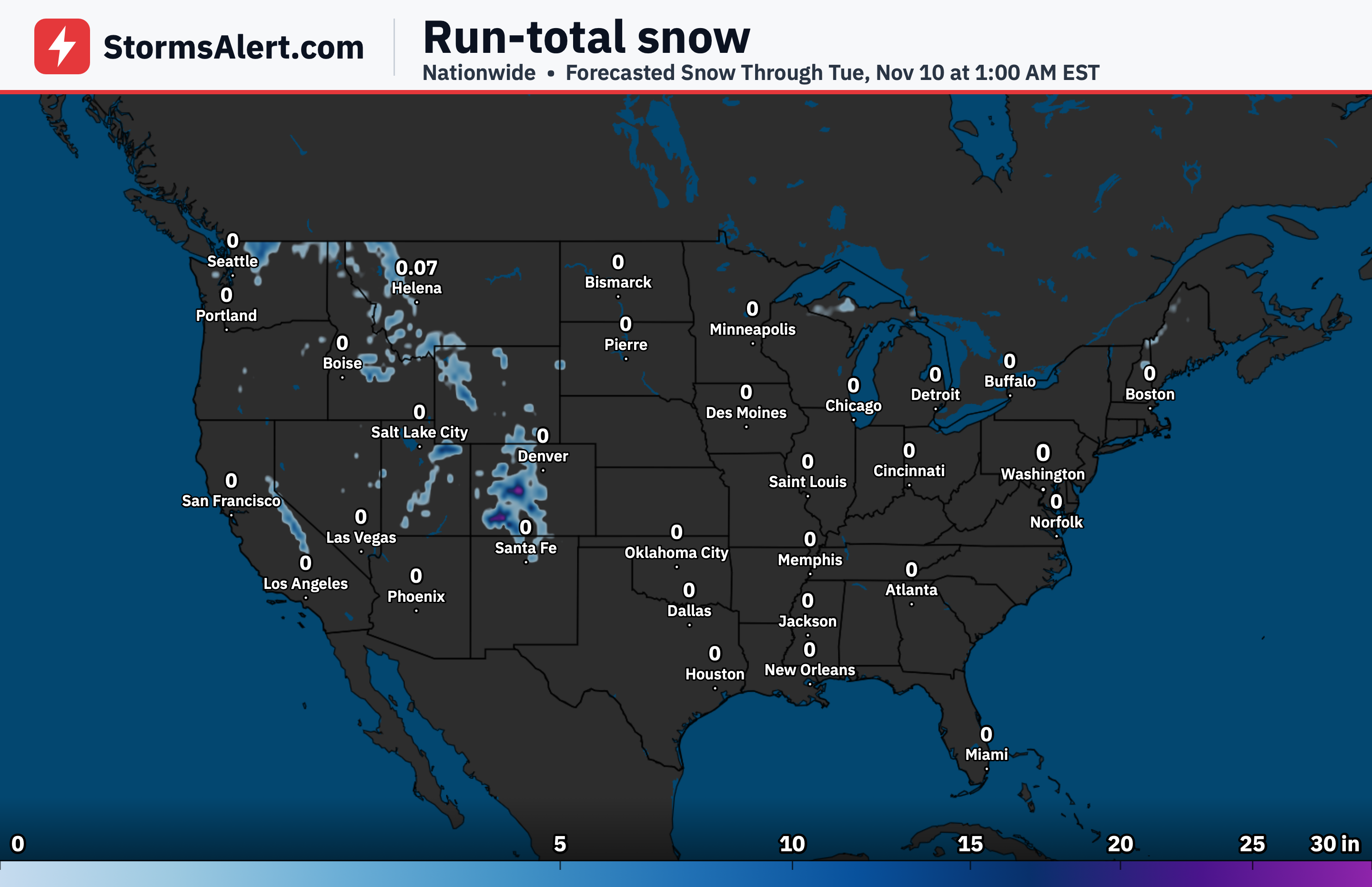
Little to no accumulating snow is expected across most of the United States through early November 9th. The primary chance for snow is limited to the Washington Cascades late this weekend, while the probability of significant ice remains under 10 percent nationwide.
Washington Cascades
A cold front will move into the Pacific Northwest late Saturday into Sunday. Snow levels will start high above 6500 feet and then lower to around 4000 to 5000 feet by Sunday morning, allowing accumulating snow to reach favored mountain passes.
Washington Pass
Washington Pass along State Route 20, which remains open, is expected to see accumulating snow as levels drop. There is a 50 percent chance of at least 4 inches and a 30 percent chance of at least 6 inches in this area by Sunday morning.
Pacific Northwest
Outside the higher Cascades terrain, most lower elevations in the Pacific Northwest should see rain rather than snow with the front. Travelers heading into the mountains Sunday should prepare for wintry conditions on elevated routes.
Rockies
The Rockies are expected to see little to no accumulating snow through early November 9th. Mountain travel plans should face minimal winter weather impacts from this system.
Midwest
No meaningful snow is anticipated across the Midwest through the period. Daily routines and travel should remain free of winter weather concerns in this region.
Northeast
The Northeast is also forecast to stay free of accumulating snow through early November 9th. Conditions will remain mild enough to keep winter precipitation at bay.
Plains
Across the Plains, little to no snow is expected through the outlook period. Residents can plan without concern for accumulating winter weather.