Light Lake Snow Favors Michigan Upper Peninsula Higher Ground Thursday
Nationwide
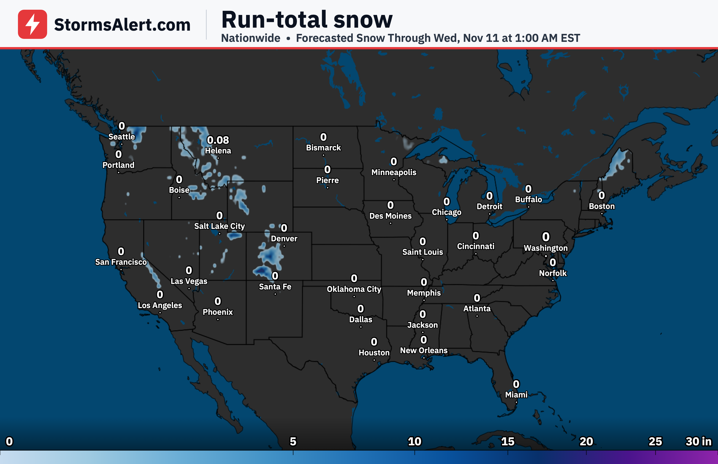
Most of the country will see little to no snow through early November 8th. The only notable chance for accumulating snow is limited to parts of the Upper Peninsula of Michigan on November 5th, while the chance of significant ice remains under 10 percent everywhere.
Upper Peninsula
A departing system will leave behind some lake-enhanced precipitation over the Upper Peninsula of Michigan this evening. Marginally colder air filtering in from the north will allow snow to fall, mainly on higher terrain away from the milder lakeshore.
Huron Mountains
The Huron Mountains and similar higher spots should pick up the most snow, with accumulations generally in the one-half to two-and-a-half inch range. There is only a 10 to 20 percent chance of reaching four inches in those favored areas.
Great Lakes
Elsewhere around the Great Lakes the focus remains on the Upper Peninsula, with the rest of the region seeing limited activity as the system exits. Travel impacts should stay minor and confined to those higher Michigan elevations this evening.
Midwest
The broader Midwest outside the Upper Peninsula is expected to stay free of meaningful snow through the period. Daily plans and travel should face little disruption from winter weather in these areas.
Northeast
No accumulating snow is anticipated across the Northeast through early November 8th. Conditions will remain free of winter weather concerns for the region.
Plains
The Plains are also expected to remain free of snow through the outlook period. Residents can plan without concern for accumulating winter precipitation.
West
From the Rockies westward to the Pacific Coast, little to no snow is expected through early November 8th. The focus for any light accumulations stays firmly on Michigan’s Upper Peninsula higher terrain this evening.