Heavy Downpours Raise Flash Flood Risk in South Texas as Mild Air Advances
South Texas
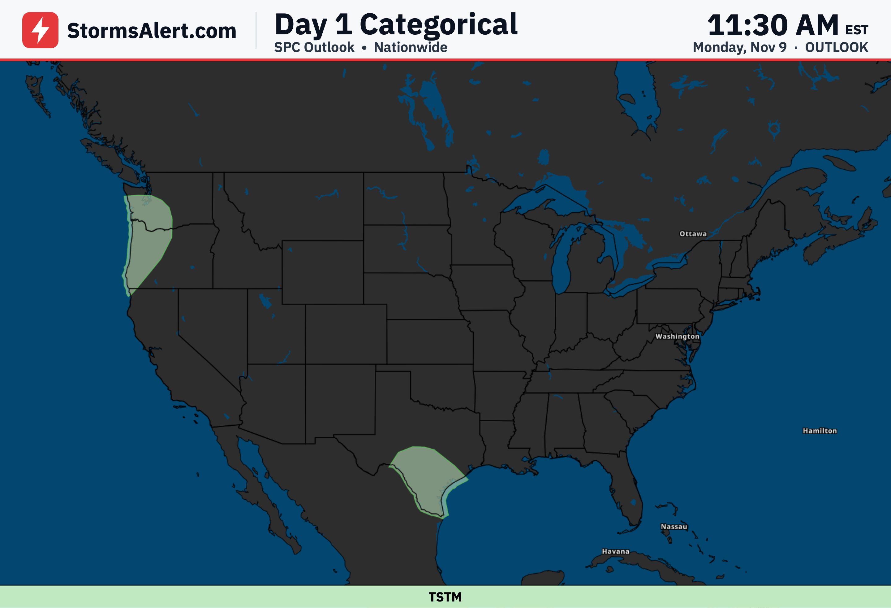
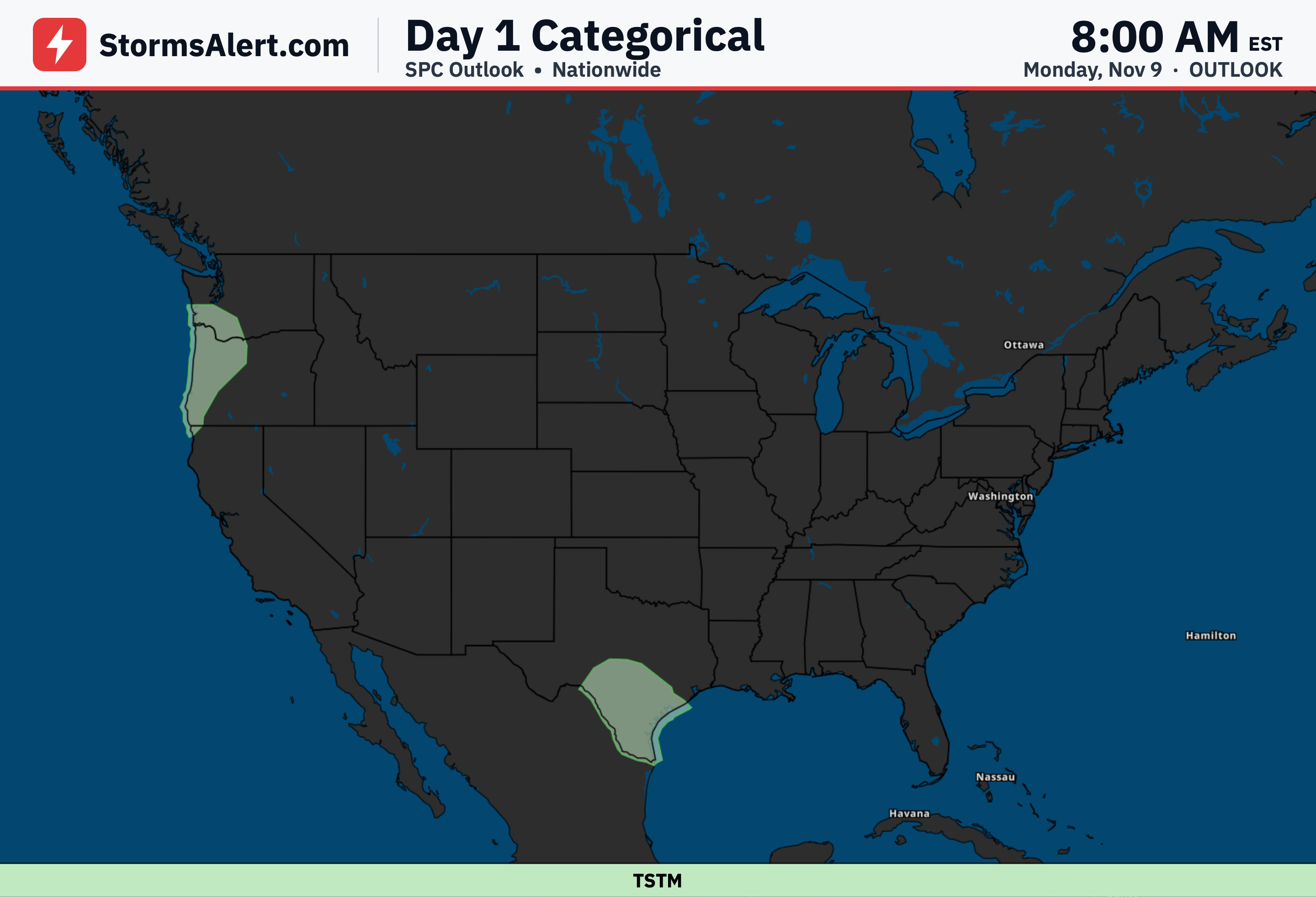
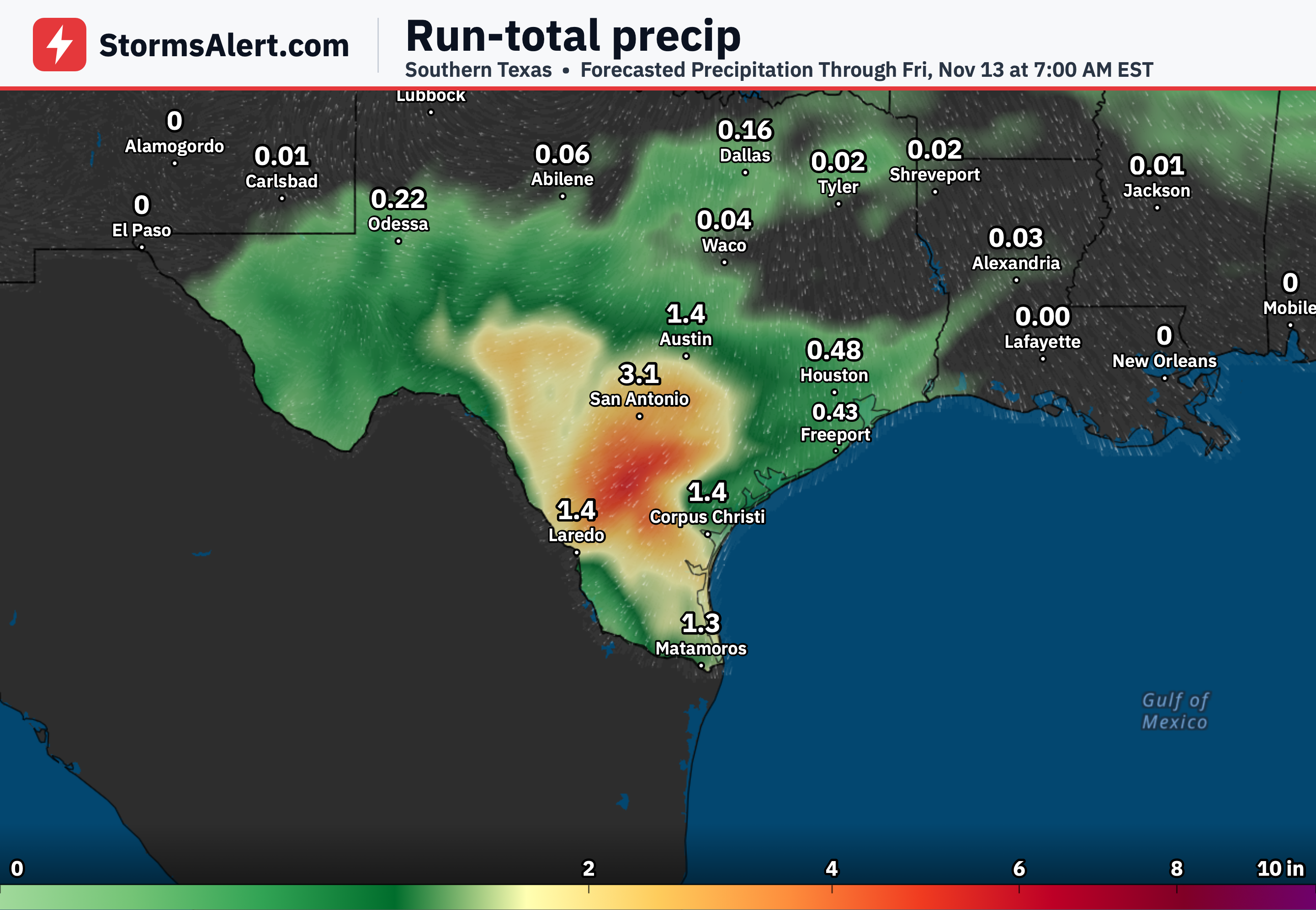
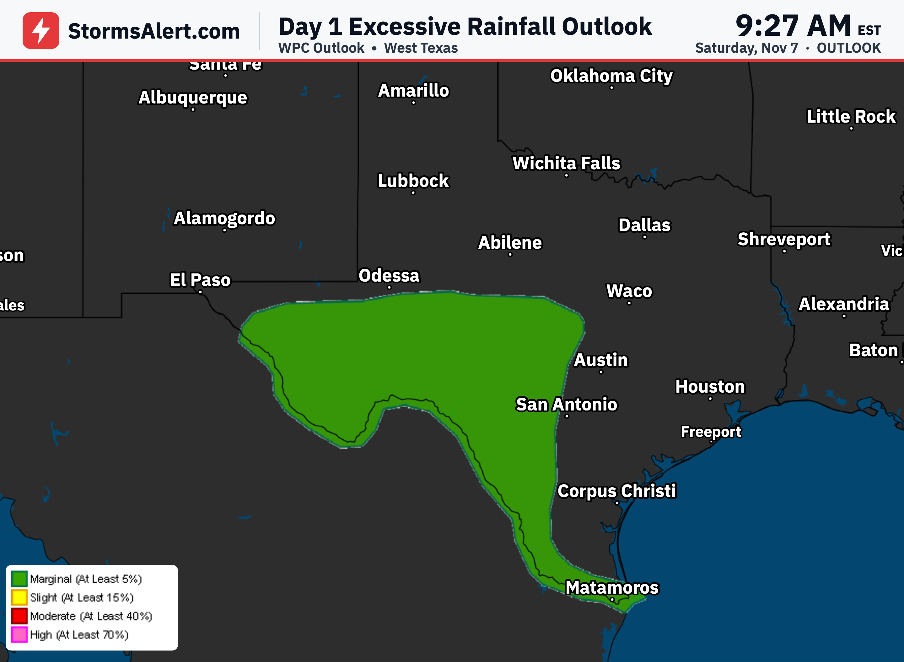
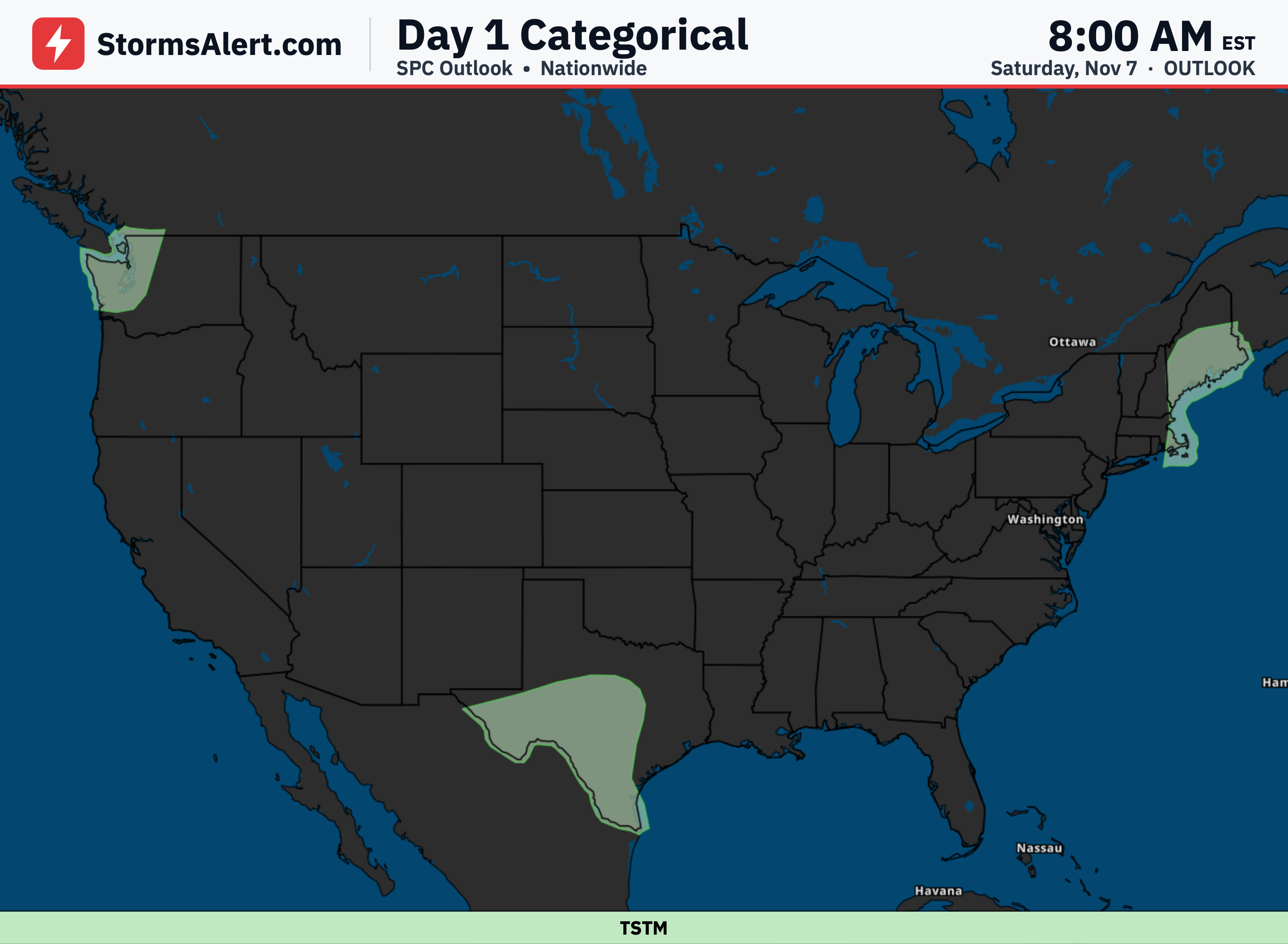
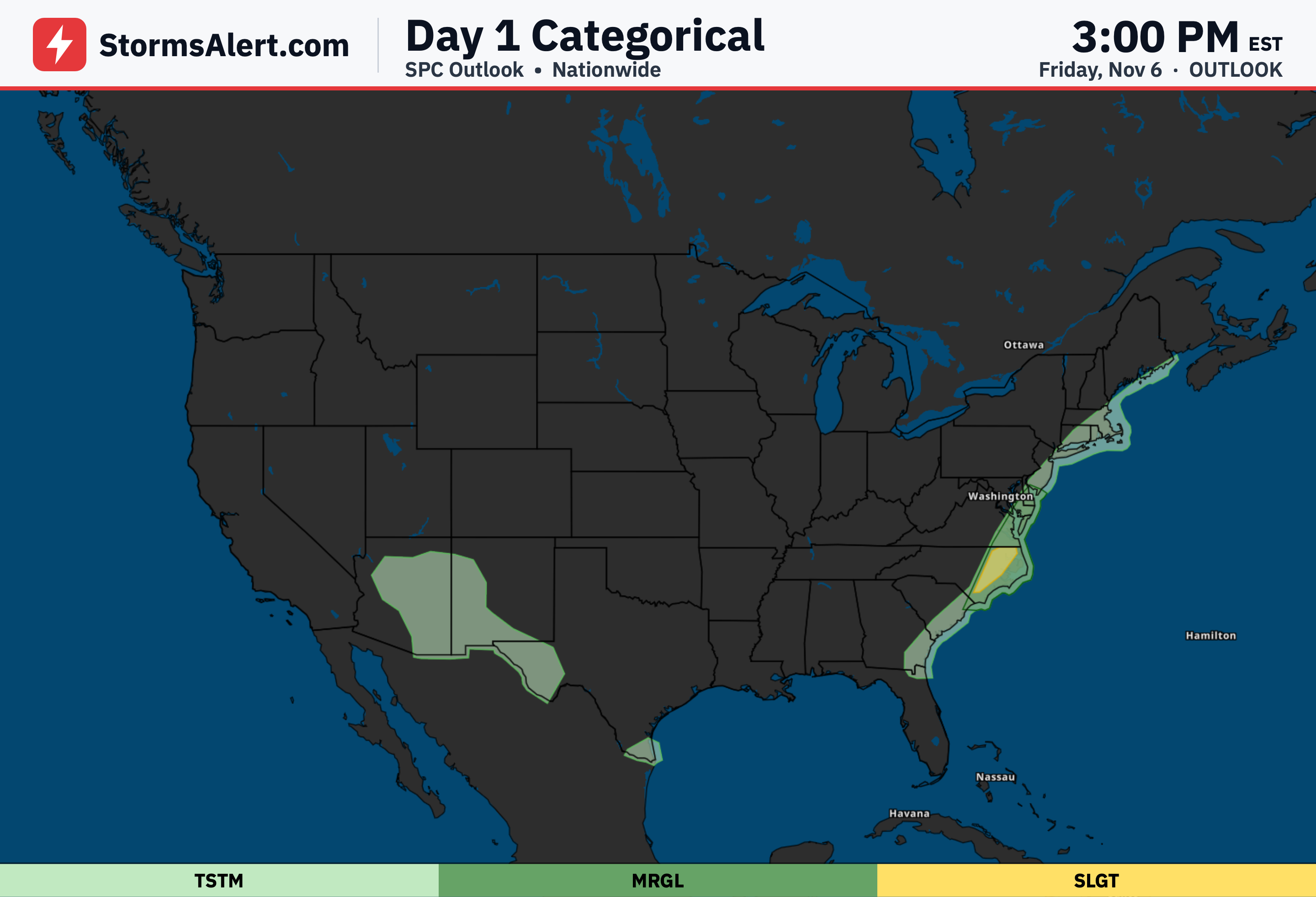
Southern and south-central Texas will see scattered to widespread thunderstorms today with locally very heavy downpours that can produce several inches of rain. These downpours raise the chance of scattered flash flooding, particularly across the eastern part of South Texas, before the threat eases by evening.
Pacific Northwest
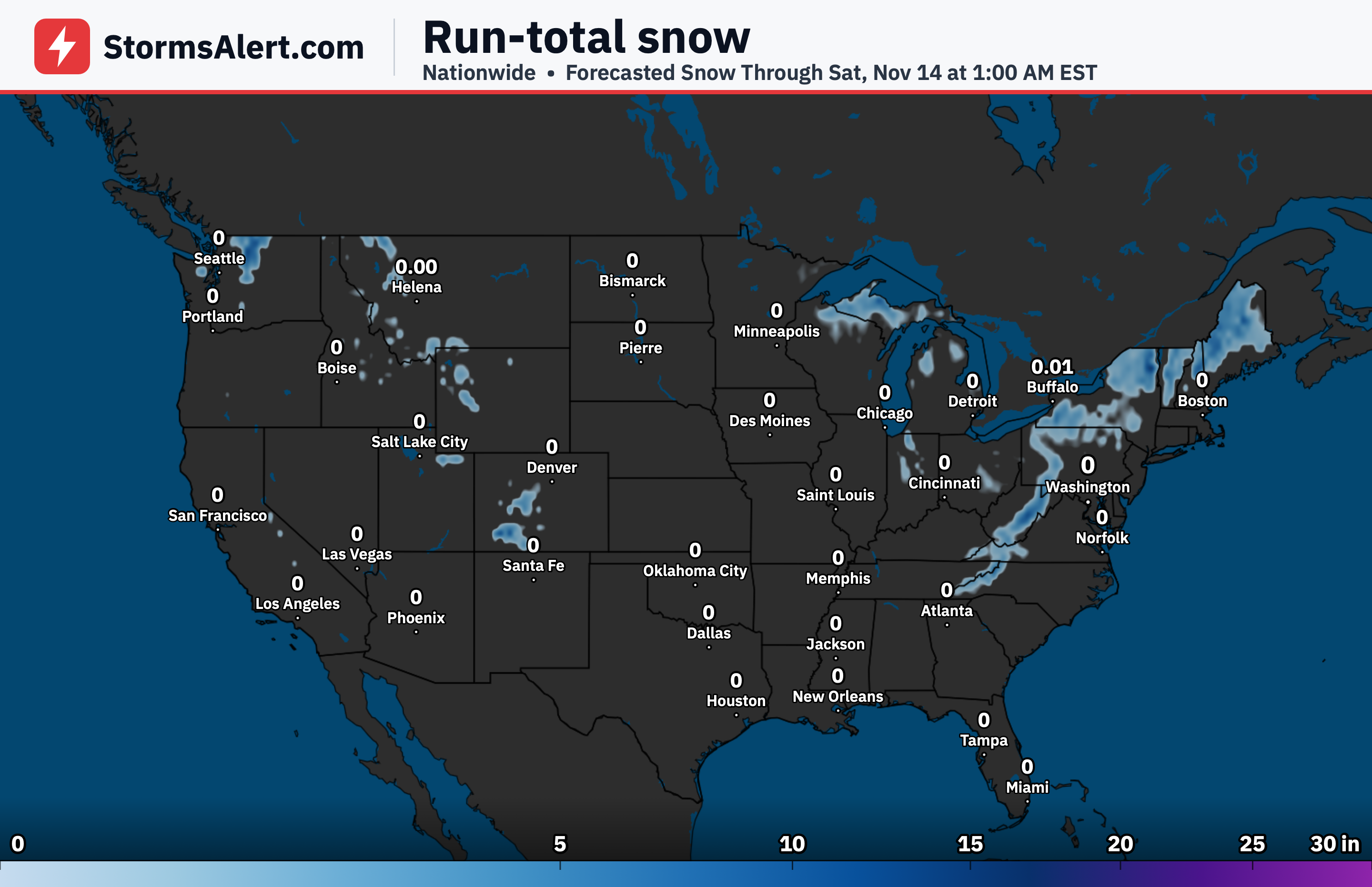
A series of Pacific storms will bring periods of moderate rain along with some snow at higher elevations through the next couple of days. The most widespread and heaviest precipitation is expected late Monday and Monday night.
Lower Great Lakes
Quick-moving low pressure systems will bring a couple rounds of scattered showers to portions of the lower Great Lakes. The first round is expected today, followed by another from Tuesday night into Wednesday morning.
Interior Northeast
The same systems will also bring rounds of scattered showers to the Interior Northeast on a similar schedule, with the first today and the next arriving Tuesday night through Wednesday morning. Most other areas of the country should stay mainly dry.
Southeast
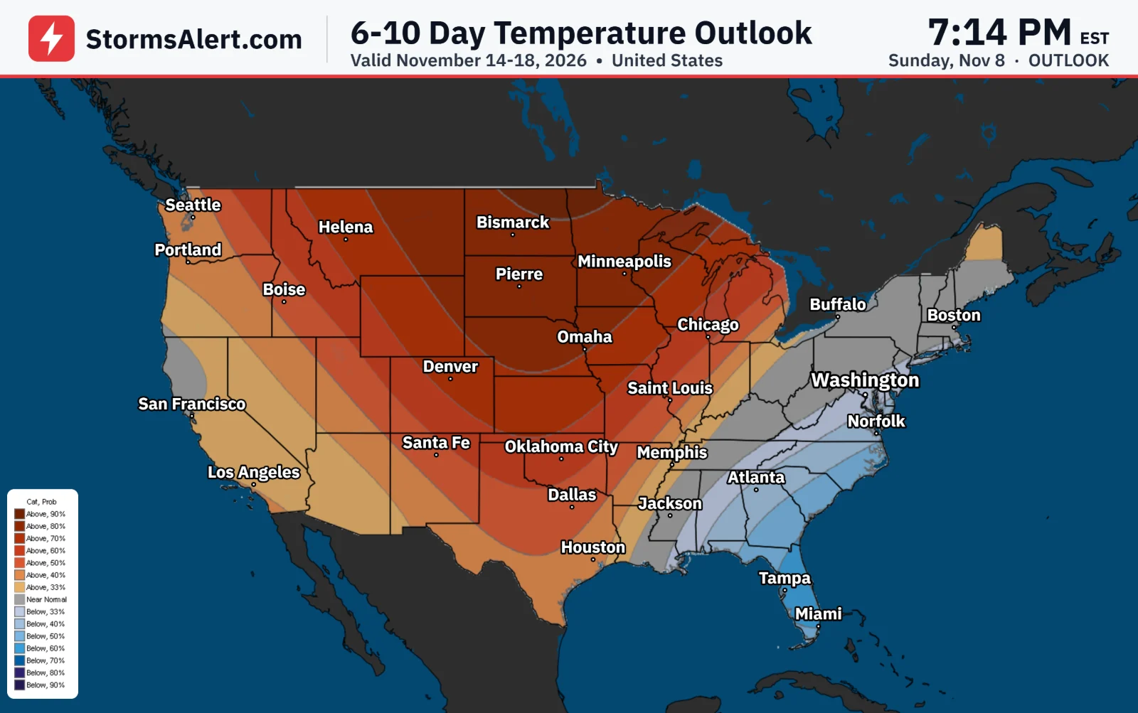
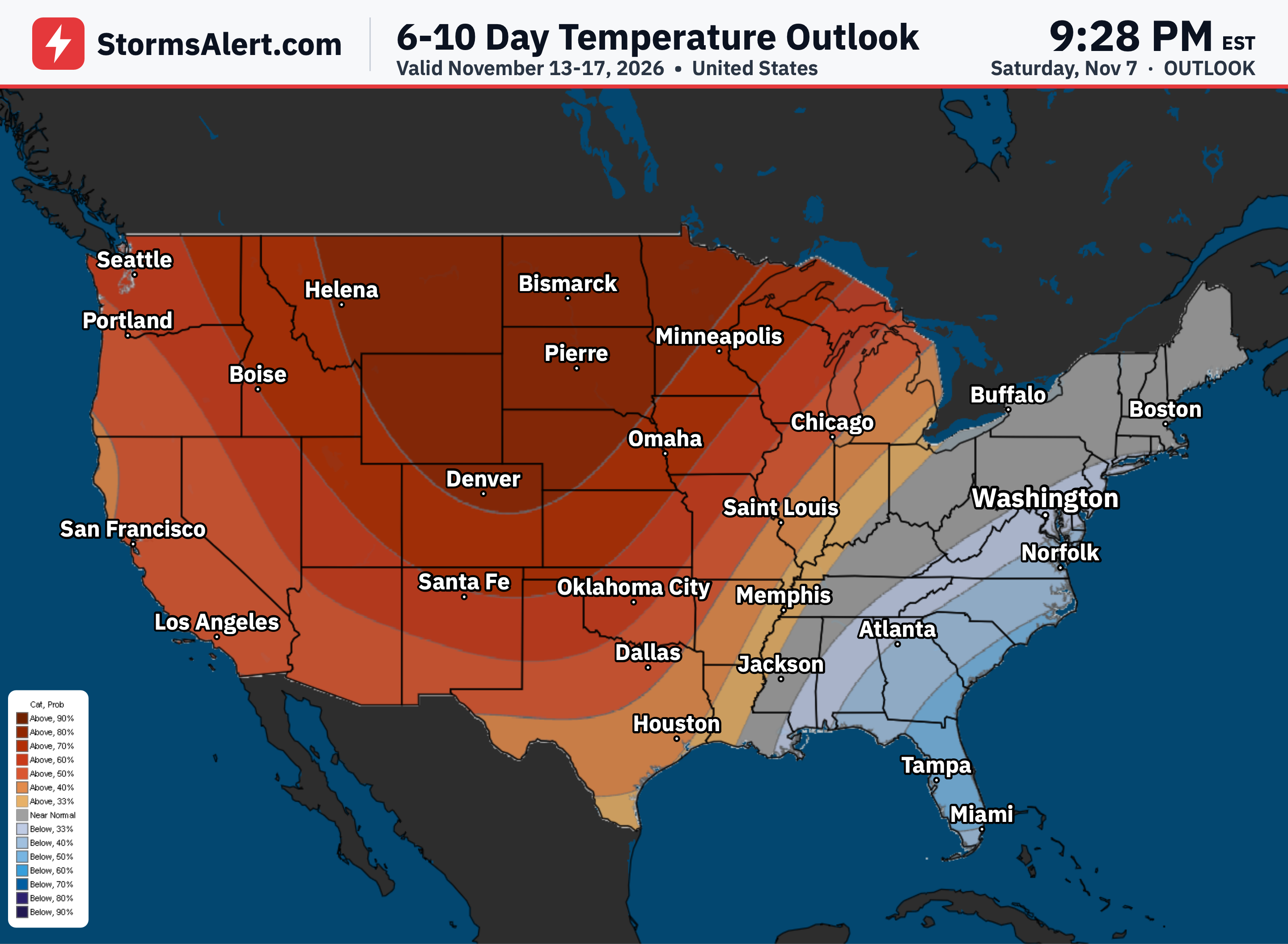
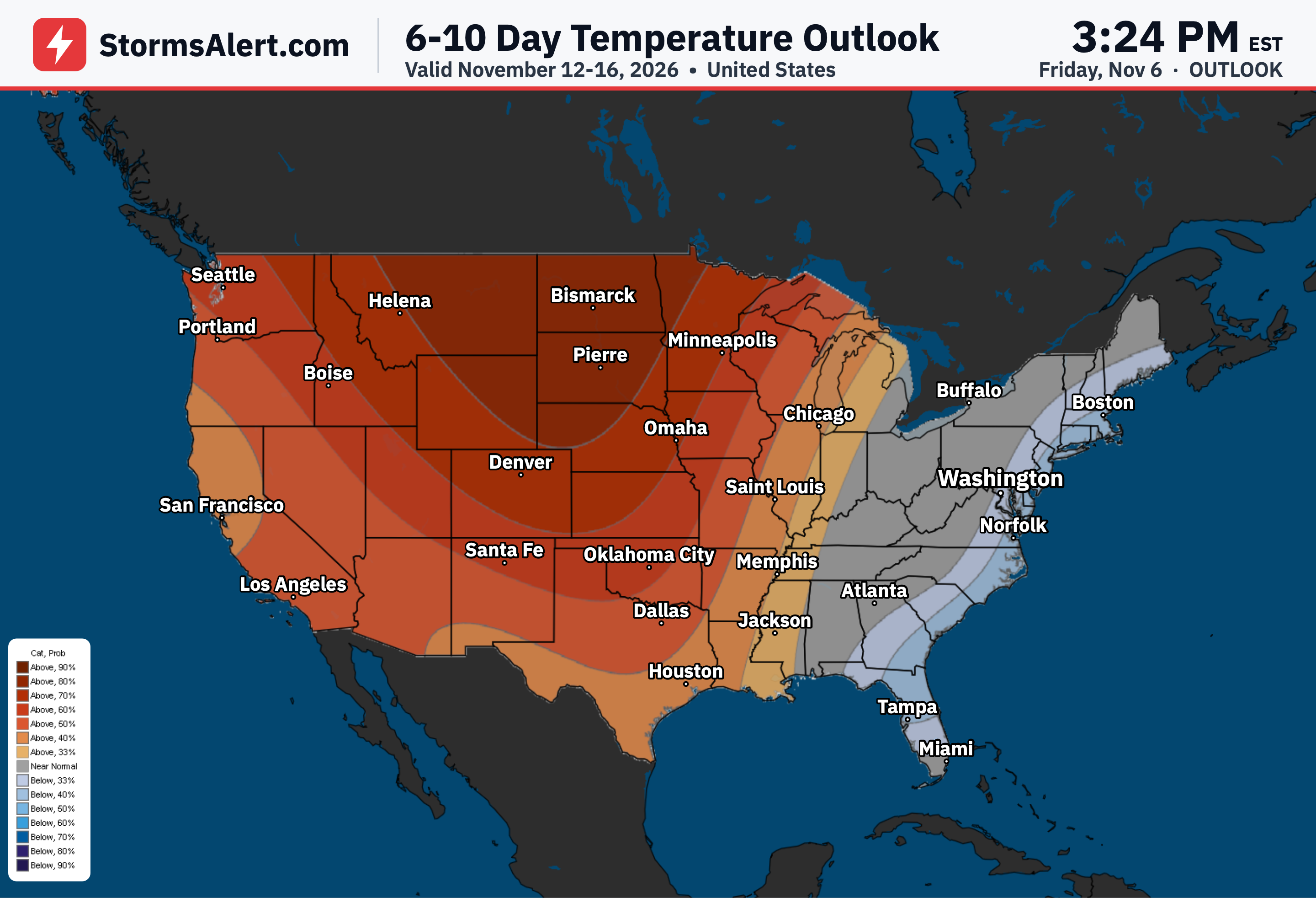
Another chilly night is expected across the Tennessee Valleys and into portions of the Southeast after frost advisories this morning. Milder and unseasonably warm air will then spread into the Southeast as the new work week gets underway.
Northern Tier
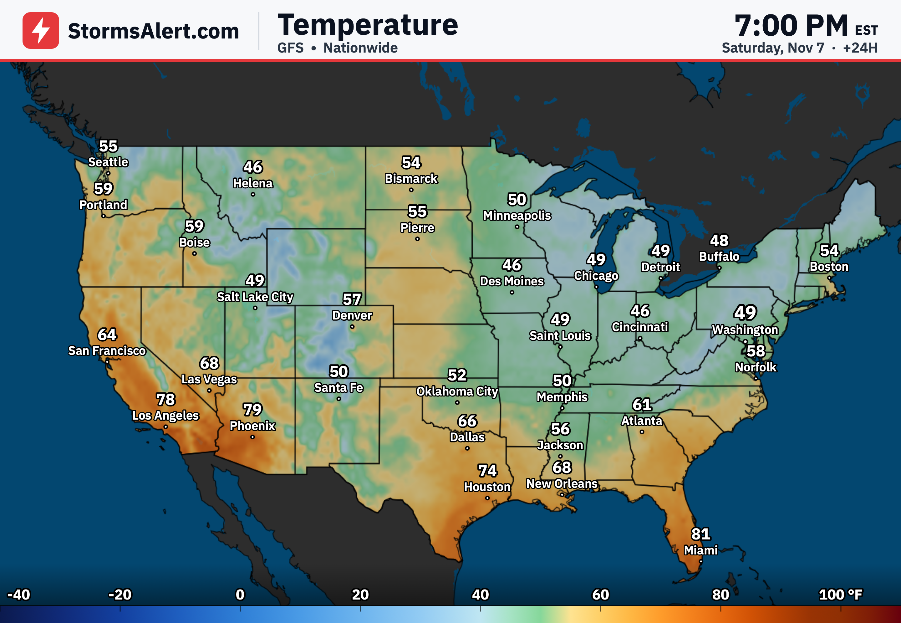
High temperatures are generally forecast in the 50s and 60s across the northern tier of the country as the warming trend takes hold.
Southern Tier
Across the southern tier, highs are expected in the 60s and 70s, with readings climbing into the 80s in southern California, the Desert Southwest, and Florida.
Four Corners
Temperatures will stay relatively cool from southern Texas into portions of the Four Corners today and Tuesday while clouds and precipitation linger, holding highs in the 60s and even some 50s before the broader warming trend arrives afterward.