Possible First Accumulating Snow Targets Northwest Pennsylvania and Higher Elevations Next Week
Statewide Outlook
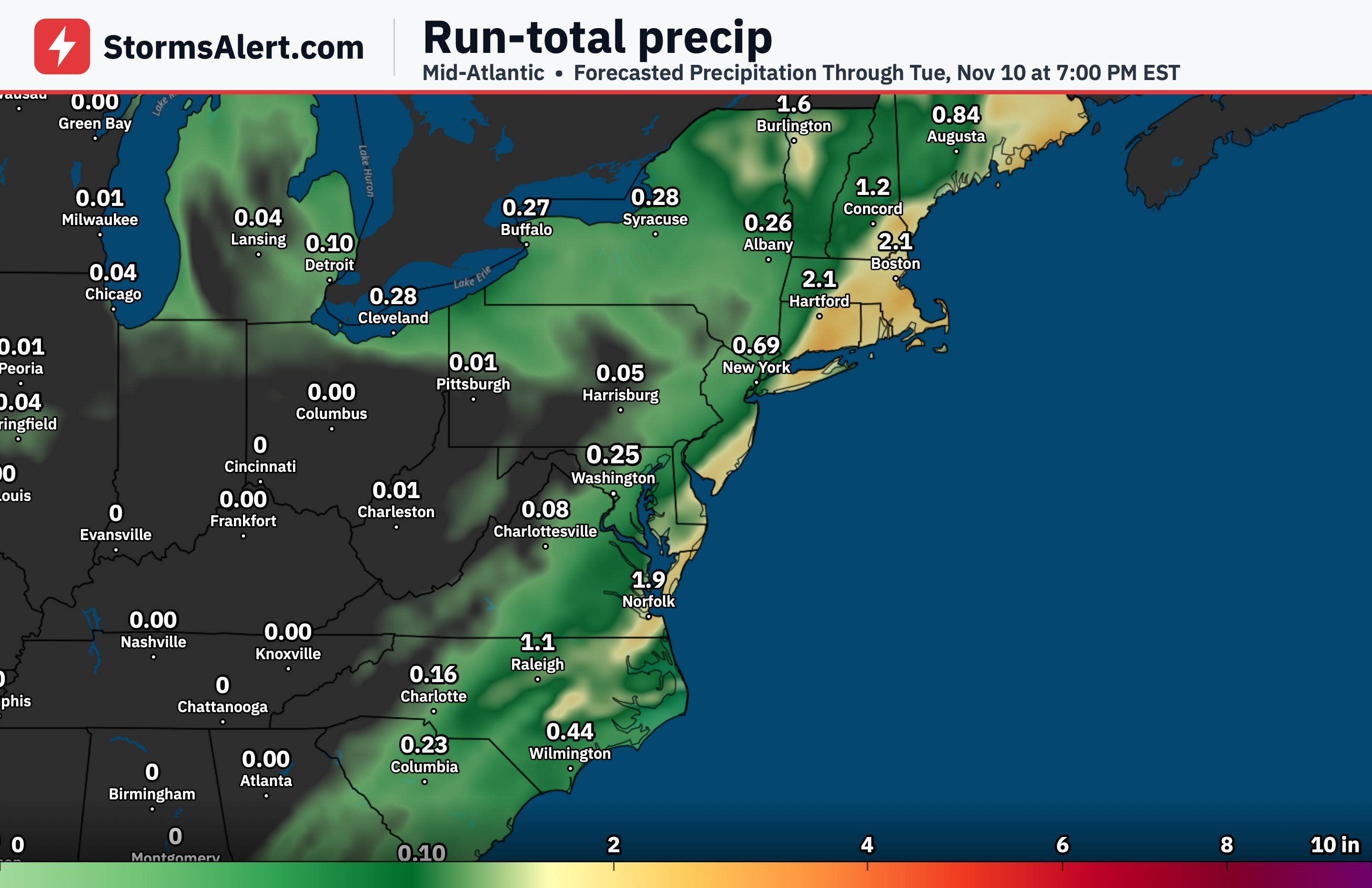
A potentially strong coastal storm or nor’easter is possible late next week, roughly from Thursday night into Friday night and possibly extending into Saturday. This system could bring multiple periods of precipitation across Pennsylvania, with colder air allowing some areas to see a mix of rain and snow.
Northwest Pennsylvania
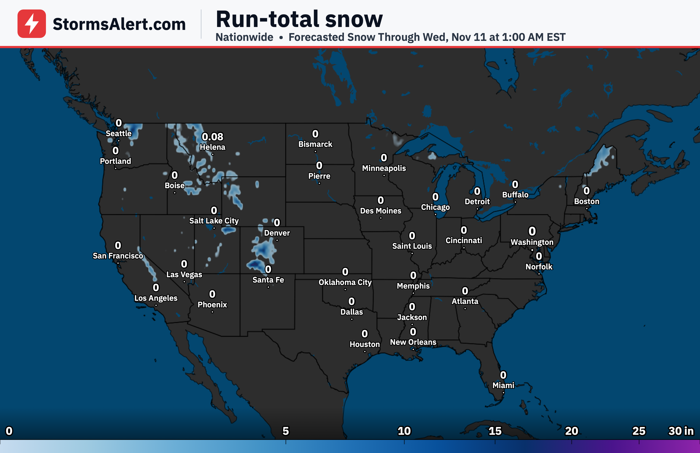
Northwest Pennsylvania has the best chance of seeing accumulating snow with the late-week system. Far western to northwestern zones could experience a rain-and-snow mix or even all snow, marking a possible first accumulating snow of the season for those areas.
Higher Elevations
Higher elevations across the state, particularly in the mountains, are also favored for accumulating snow. The colder air expected with the system increases the likelihood of snow sticking in those elevated spots while lower areas stay more mixed or rainy.
Western Pennsylvania
Western parts of Pennsylvania could see a combination of rain and snow depending on the exact track of the coastal low. Amounts and precipitation type remain uncertain this far out, so any travel impacts would depend on how much snow accumulates.
Eastern Pennsylvania
Eastern Pennsylvania is more likely to receive a decent amount of rain from the system, with only a lower chance of mixing with snow in the farthest western or northwestern edges of that region. Details on exact amounts and timing will become clearer closer to the event.