Coastal Storm Soaks Northeast With Rain and Highland Snow Ahead of Deep Freeze
Northeast
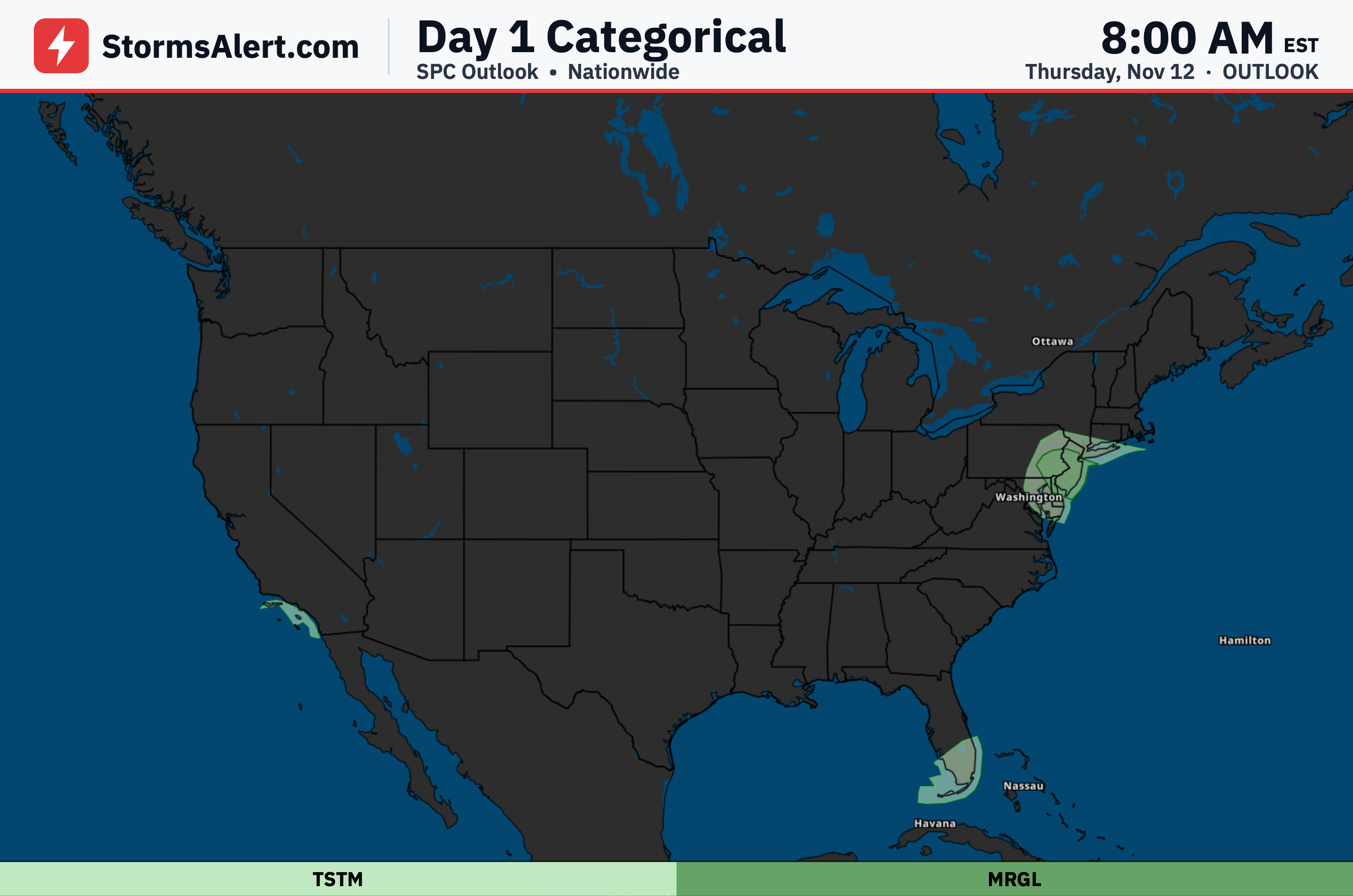
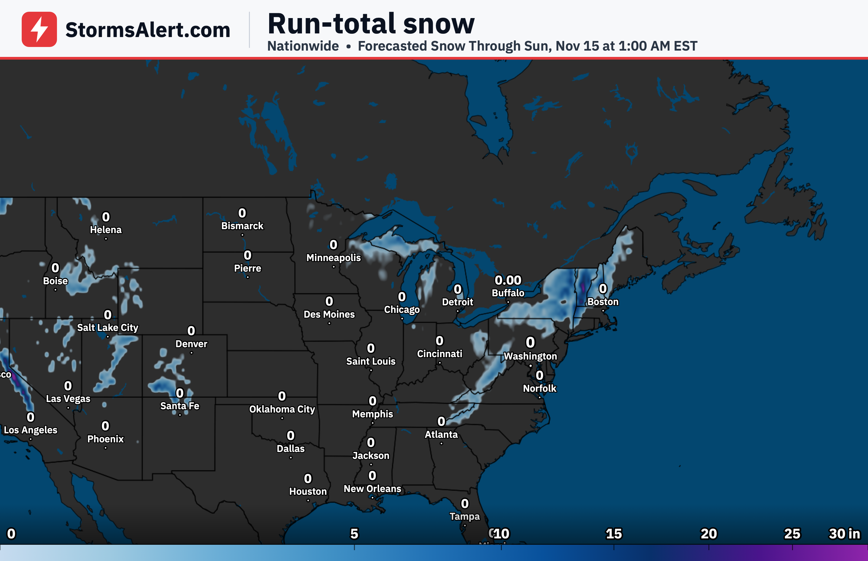
A strengthening coastal storm will deliver soaking rain across the Northeast on Thursday into Friday. Steady rain spreads into southern New England by Thursday evening and may turn heavy near the coast at times, accompanied by strengthening northeasterly winds and a chance of minor coastal flooding around high tide near New York City. Colder air wrapping into the system will change the rain to snow overnight Thursday into Friday over the higher terrain of New York, northeastern Pennsylvania, and northern New England. Accumulating snow and slick travel are likely at elevation, while valleys and lower elevations stay mostly rain that could end as a brief wintry mix Friday morning. Wet snow may also reach the southern and central Appalachians especially Friday night into Saturday morning, giving some spots their first flakes of the season.
Southeast
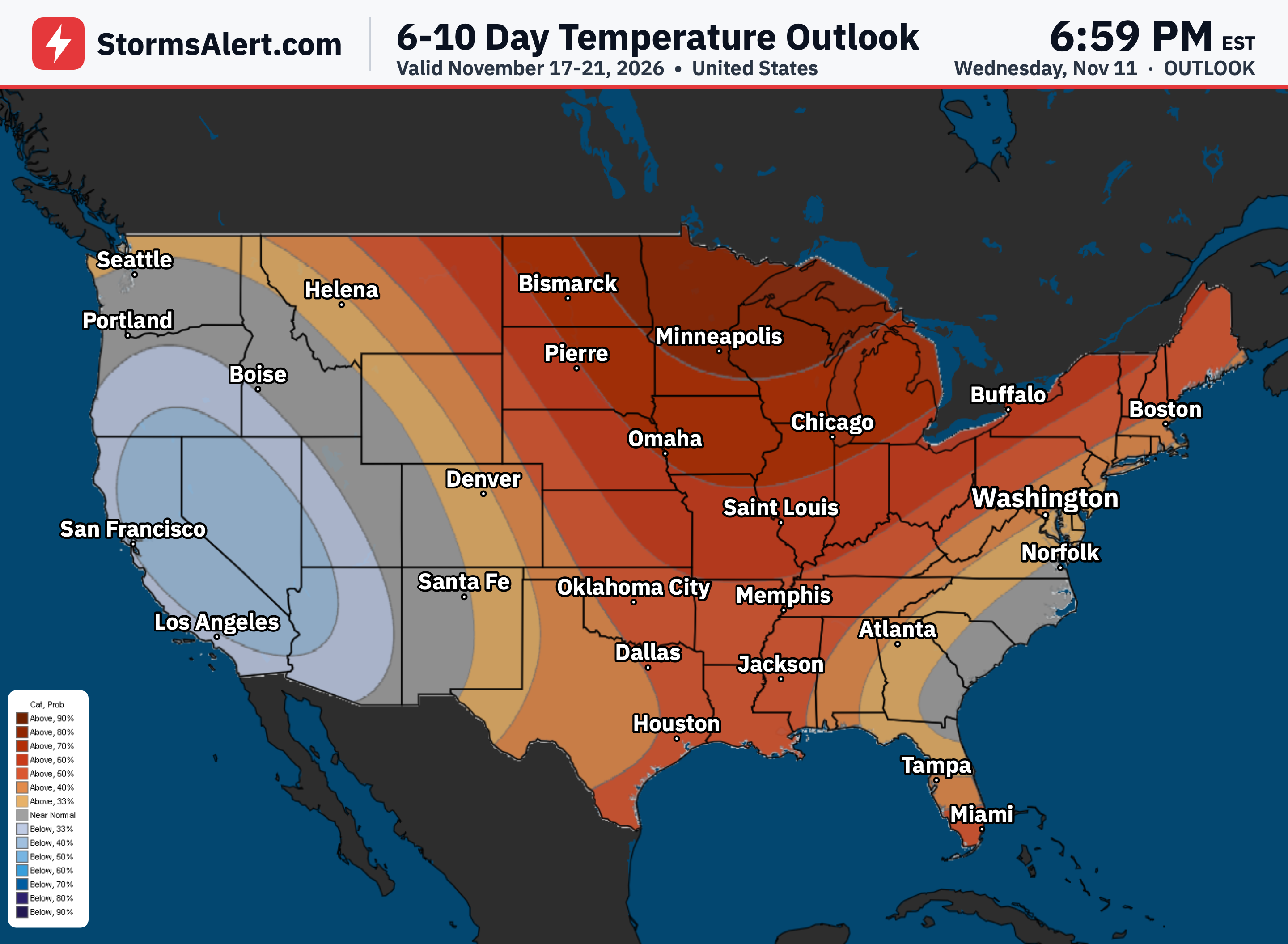
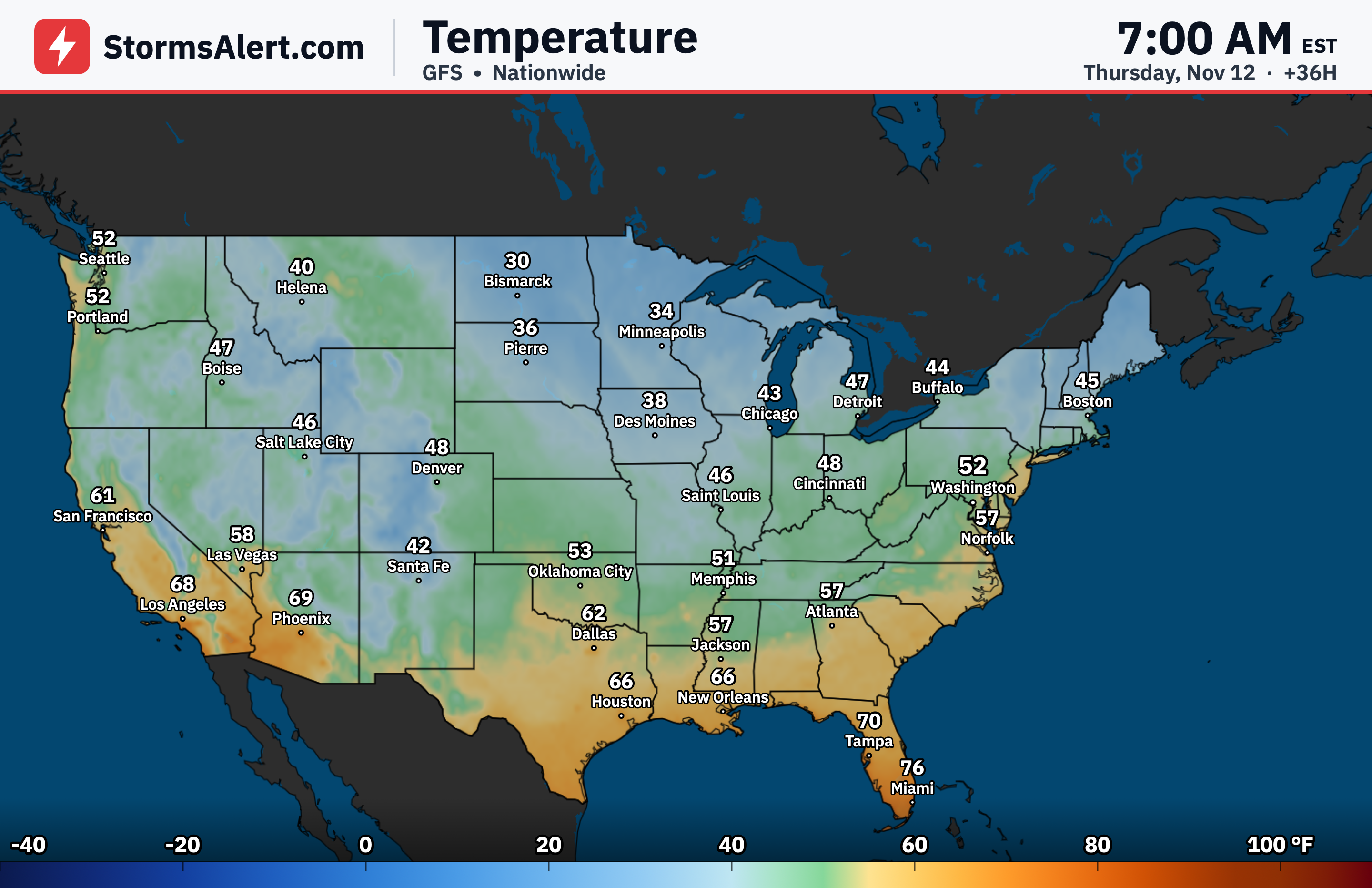
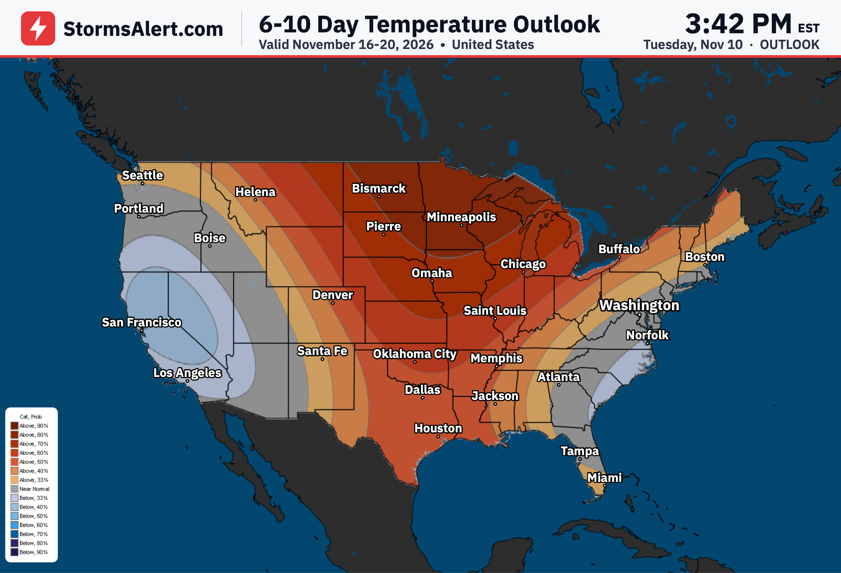
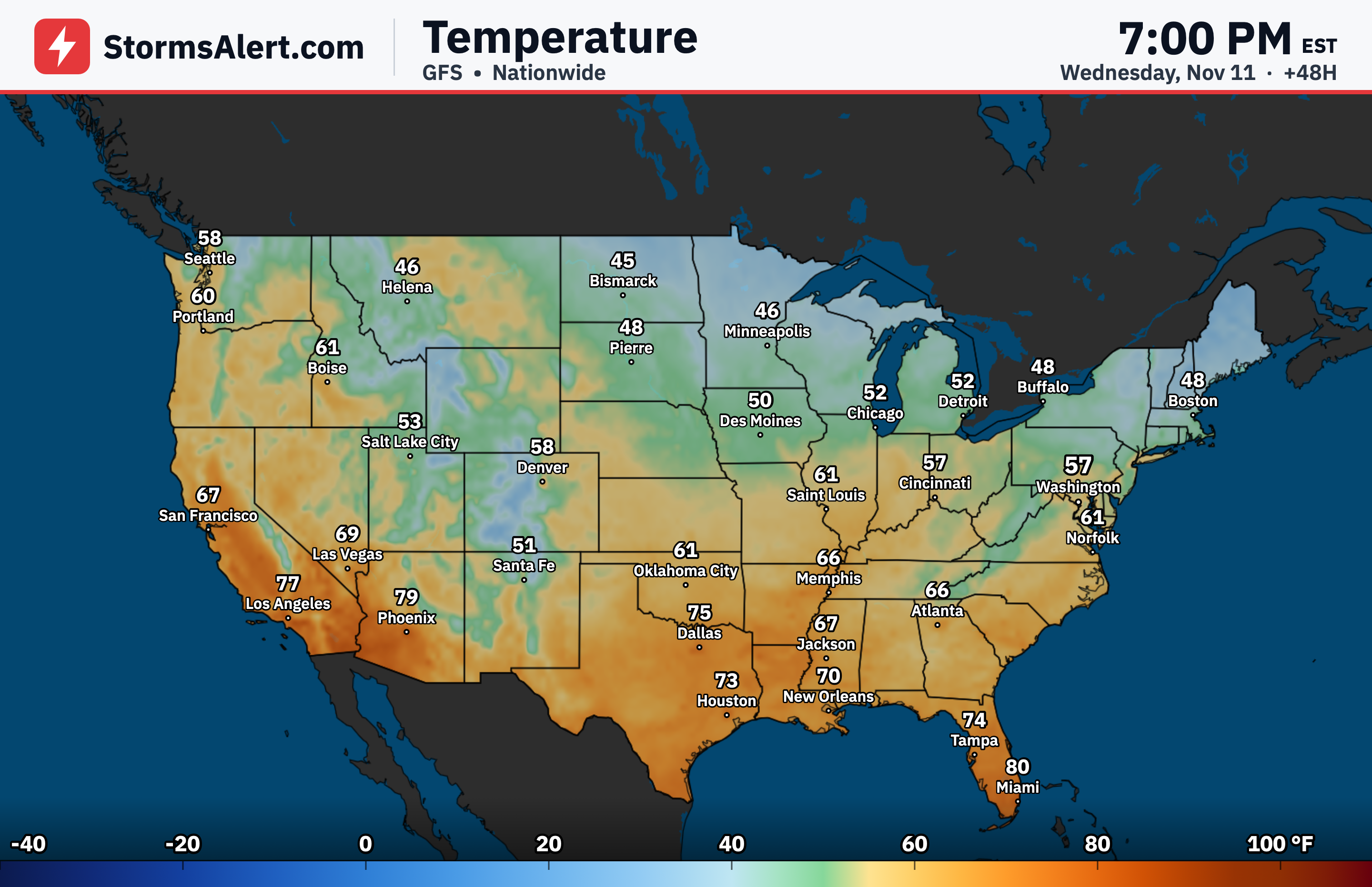
Polar air will surge into the eastern half of the country behind the departing storm. Highs run well below normal by Friday, and overnight lows drop into the 20s across much of the central United States. Freezing temperatures reach as far south as the Deep South by Saturday morning, setting the stage for a widespread frost and freeze across the South and Southeast this weekend. Gusty winds and very dry air behind the front will also raise fire danger across parts of the Southeast on Thursday.
Great Lakes
Cold northwest winds blowing across the still-warm Great Lakes will generate rounds of lake-effect rain and snow through Friday. The heaviest snow is expected over the higher terrain of Michigan’s Upper Peninsula, where significant accumulations are possible and could disrupt travel.
Midwest
The same polar air mass will overspread much of the central and eastern United States heading into the weekend. High temperatures stay well below normal by Friday, and overnight readings fall into the 20s across large portions of the region, bringing a sharp change from recent milder conditions.
Southwest
A separate system moving in from Baja California on Friday will bring showers to southern California, locally heavy near the coast. By Saturday morning the moisture spreads eastward, producing rain showers and embedded thunderstorms across southern Arizona and New Mexico that reach western Texas.
Rockies
Strong winds will spread into the Great Basin as the Pacific storm arrives. By Saturday morning rain showers and high-elevation wet snow extend into much of the Great Basin toward the Four Corners region, making higher-road travel more challenging.
West Coast
Warm and dry weather continues through Thursday, with highs challenging a few daily records in parts of the Northwest and Great Basin. Conditions then deteriorate quickly on Friday as a strong Pacific storm with subtropical moisture moves ashore. Moderate to heavy rain and strong southerly winds develop across northern California, while the higher elevations of the Sierra Nevada can expect heavy snow and strong winds by Friday night into Saturday morning, creating blizzard conditions that will make travel dangerous to impossible.
Pacific Northwest
The same Pacific storm system will bring moderate to heavy rain and strong southerly winds to the Pacific Northwest on Friday. Travel impacts are likely where rainfall is heaviest and winds are strongest, especially along the coast and through mountain passes.