Polar Plunge Brings Season's Coldest Air East While Strong Low Turns Windy and Snowy
Nationwide
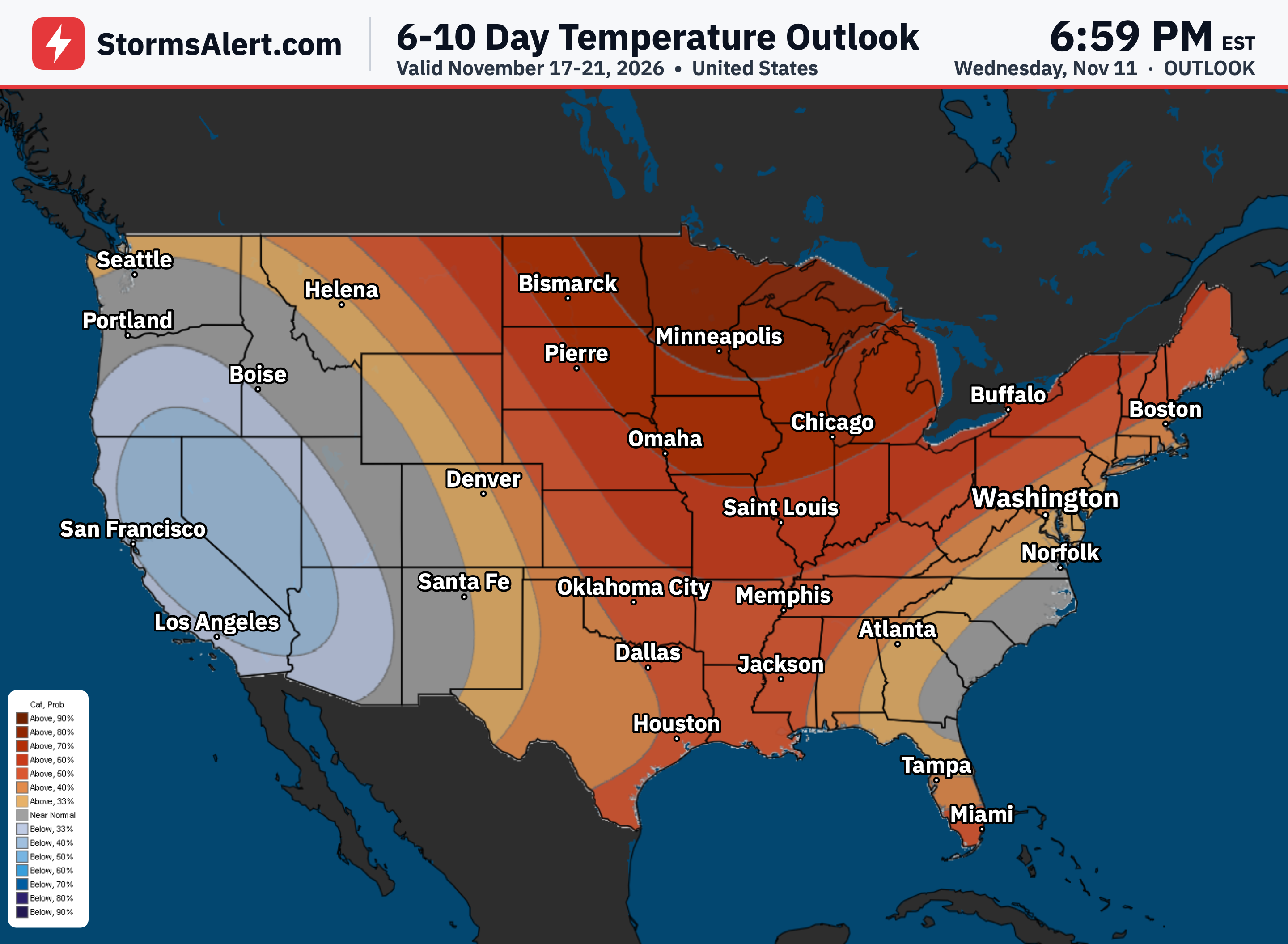
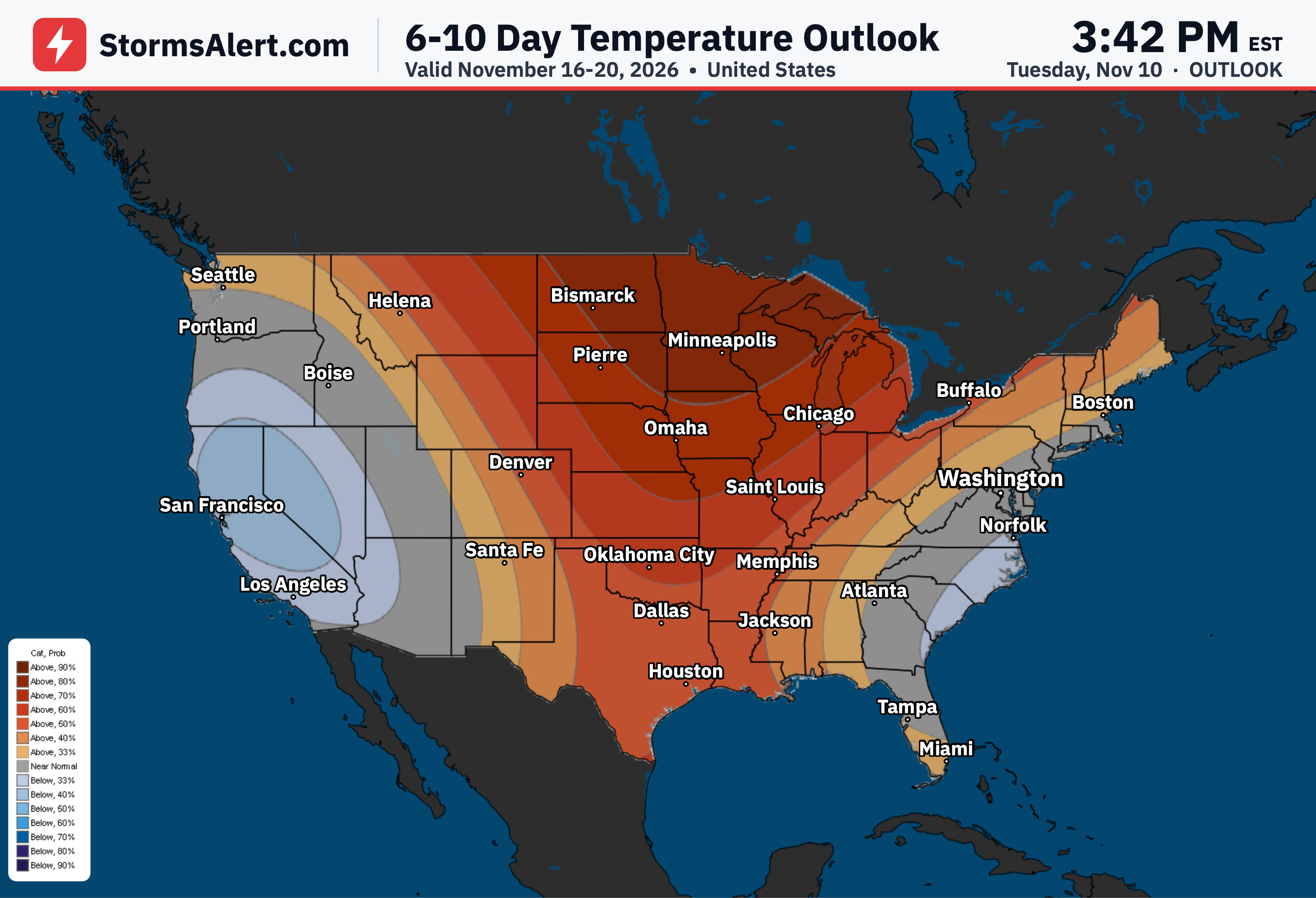
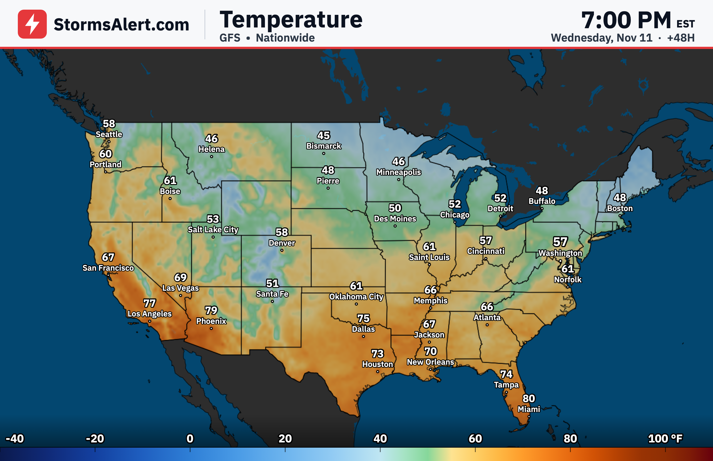
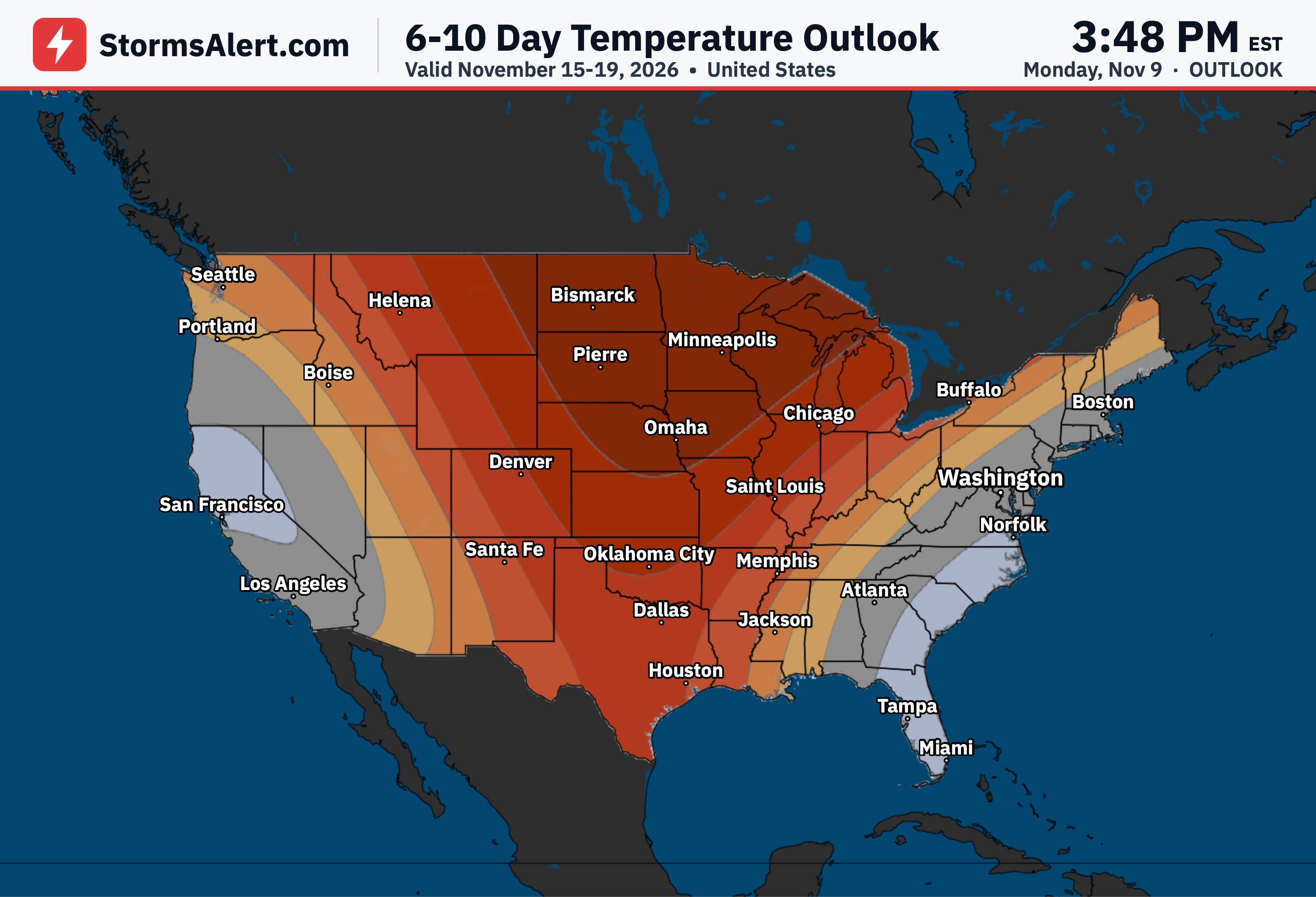
An anomalous surge of polar air will deliver the coldest temperatures of the season so far to much of the central and eastern United States beginning Wednesday night. At the same time an expanding low-pressure system will intensify and bring windy conditions to the East by Thursday, while unseasonable warmth holds across much of the West.
Midwest
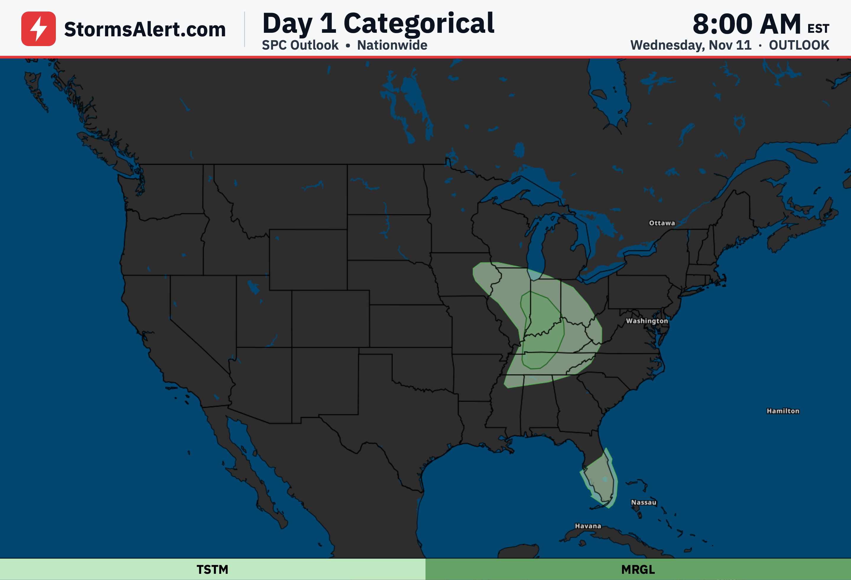
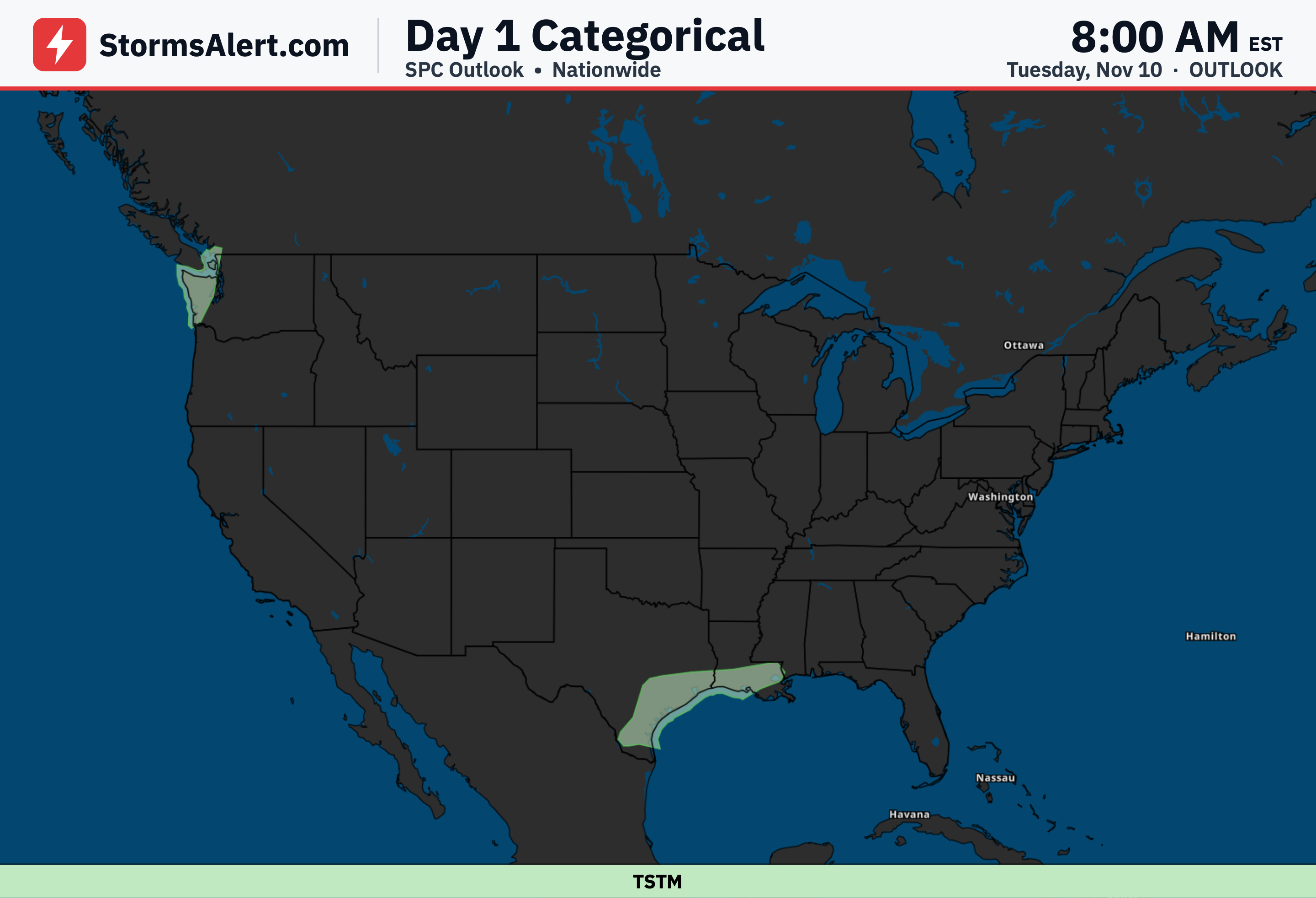
Showers and a few thunderstorms will move across the Midwest ahead of an intensifying cold front on Wednesday into Wednesday night. Some storms in the Ohio and Tennessee Valleys could produce damaging wind gusts, followed by gusty northwest winds and falling temperatures behind the front.
Great Lakes
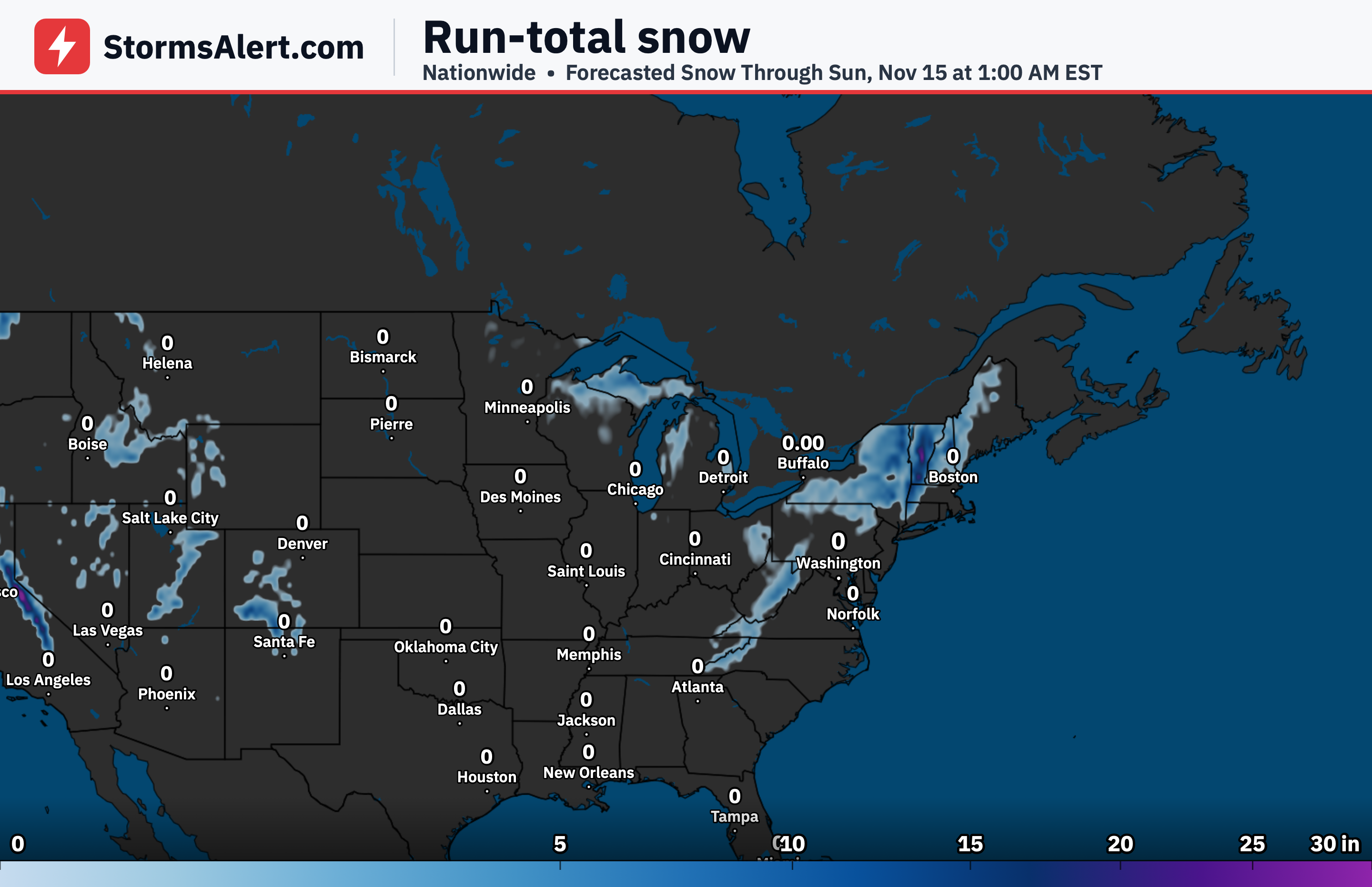
Cold air moving over the still-warm Great Lakes will trigger lake-effect rain and snow showers beginning Wednesday night. Accumulating snow is likely over the higher terrain of the Upper Peninsula of Michigan and near the south shore of Lake Superior.
Northeast
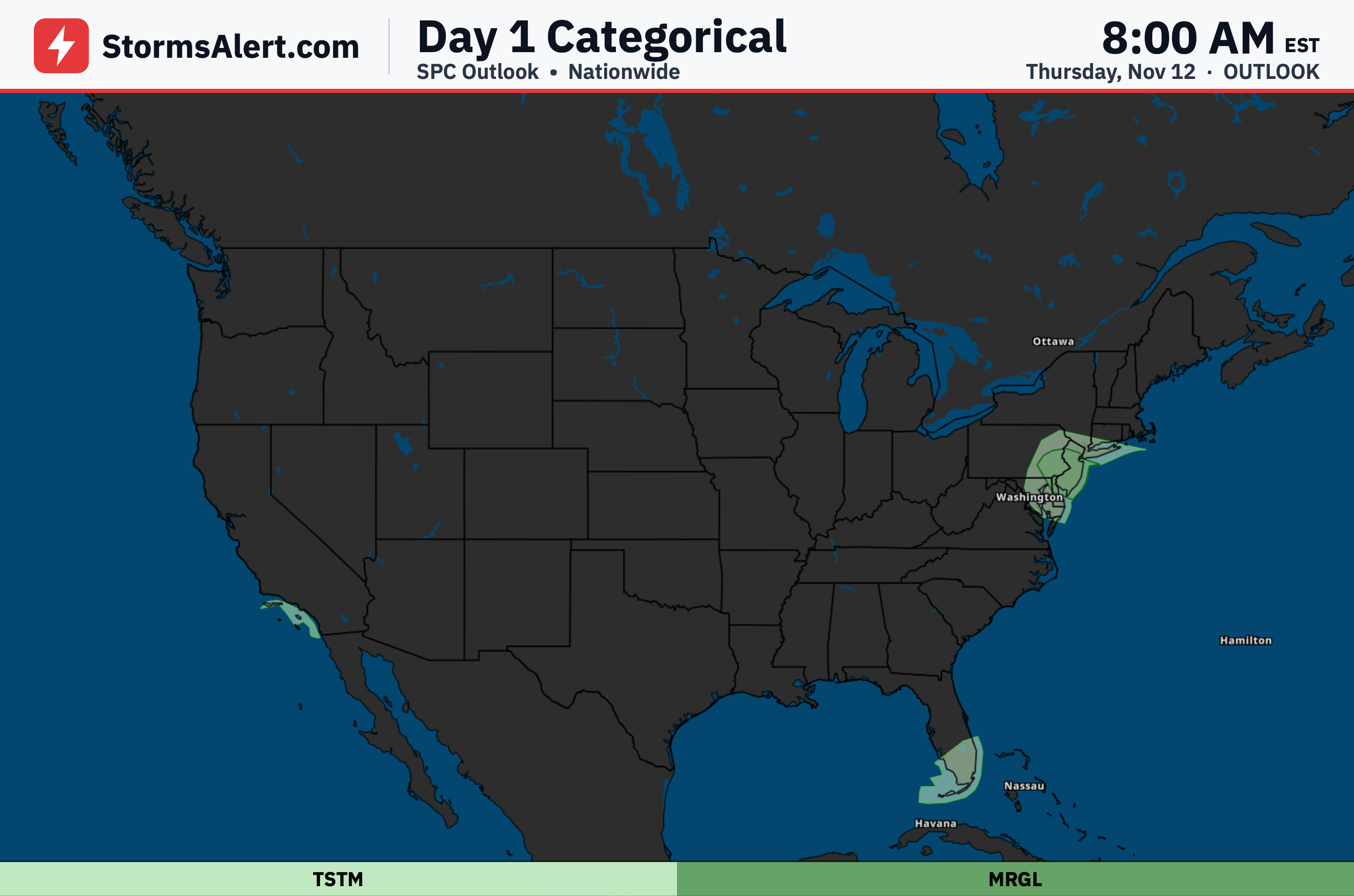
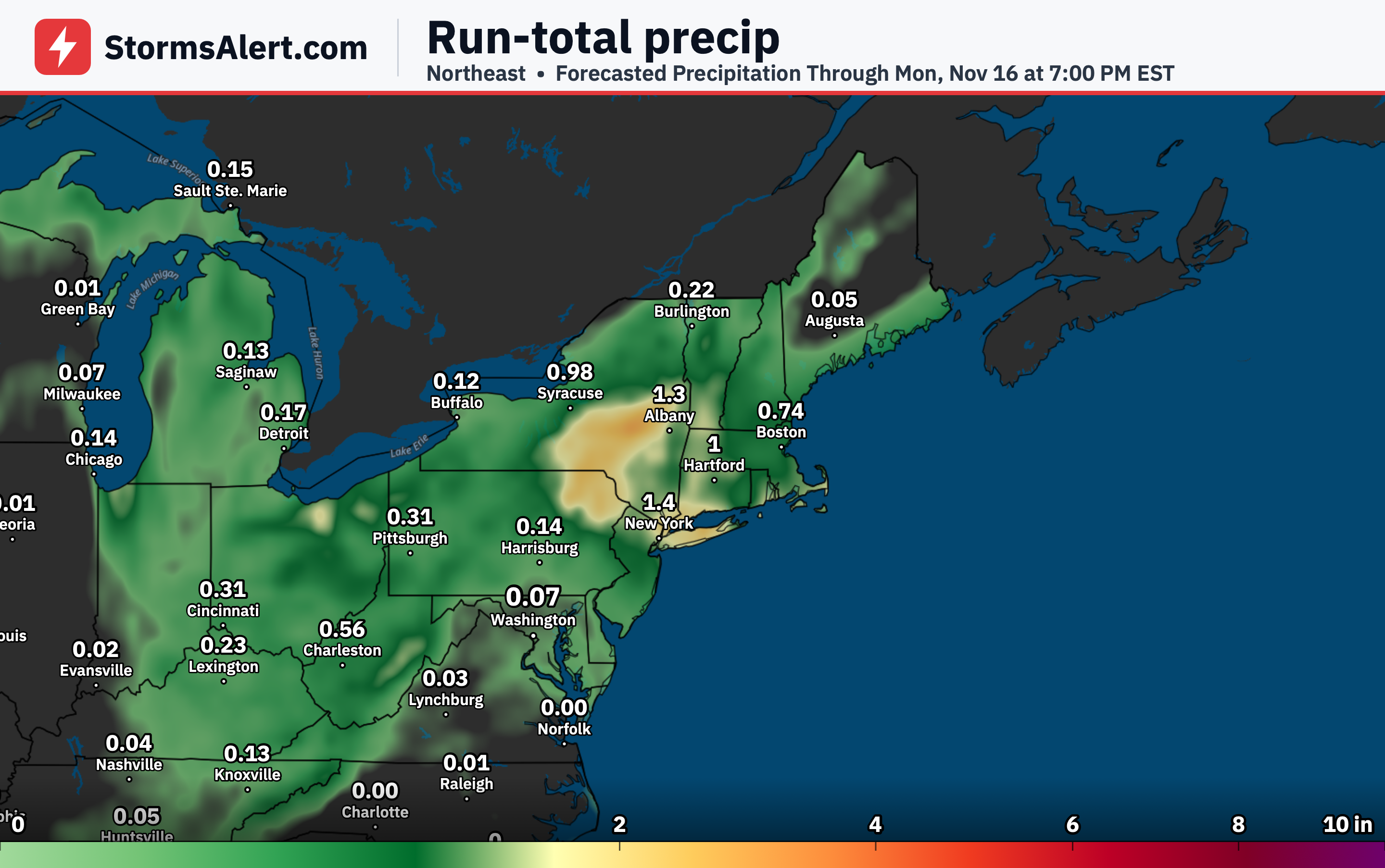
Steady rain is expected to develop from the northern Mid-Atlantic into southern New England on Thursday and linger into Friday as the large low moves off the East Coast. Increasing winds near the coast will raise the risk of minor coastal flooding at high tides, while wet snow becomes possible over the higher terrain of the interior Northeast.
Appalachians
Rain is forecast to change to snow over the higher elevations of the central and southern Appalachians Thursday night. By Friday morning temperatures could drop below freezing as far south as Tennessee and the southern Appalachians.
South and Gulf
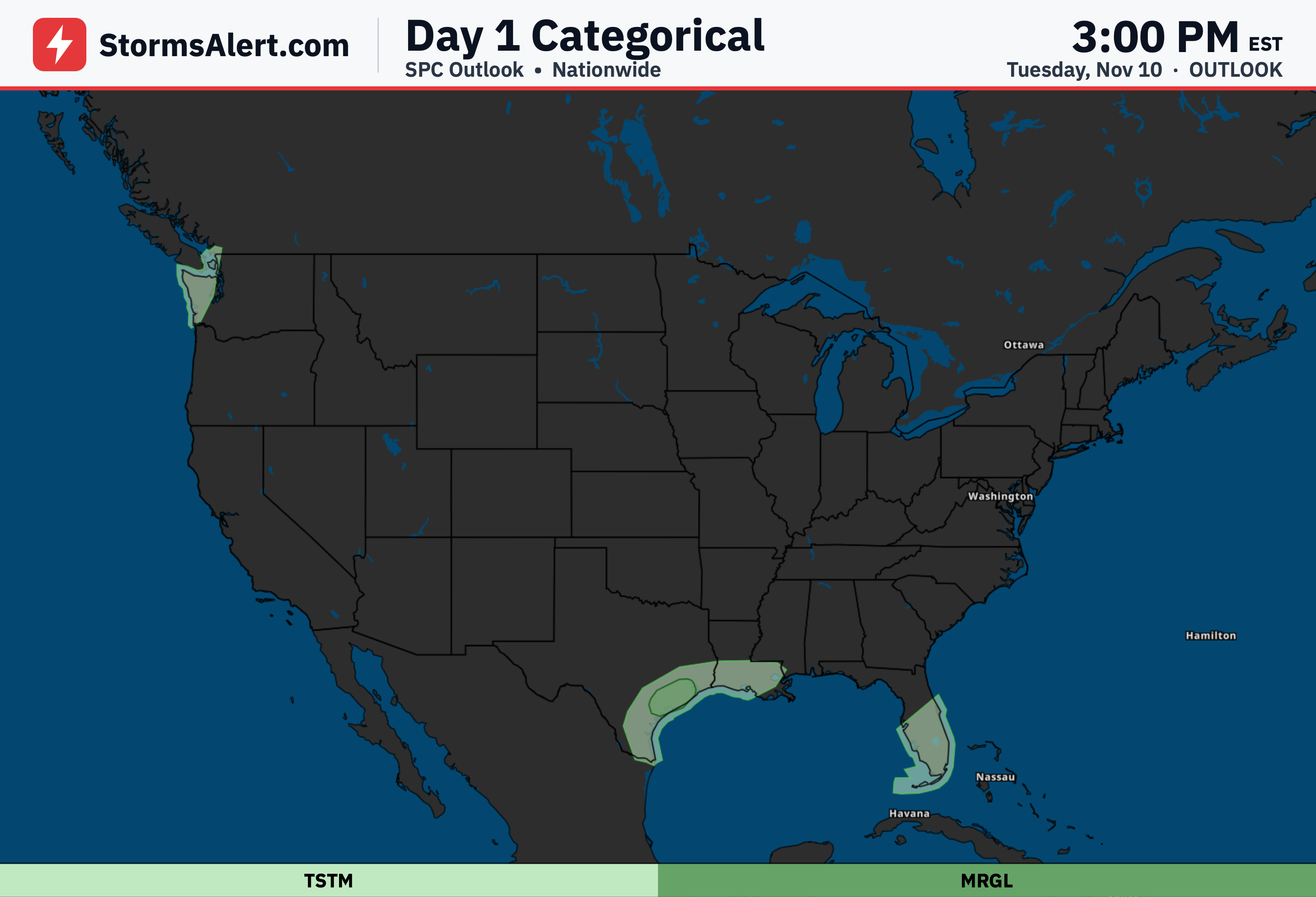
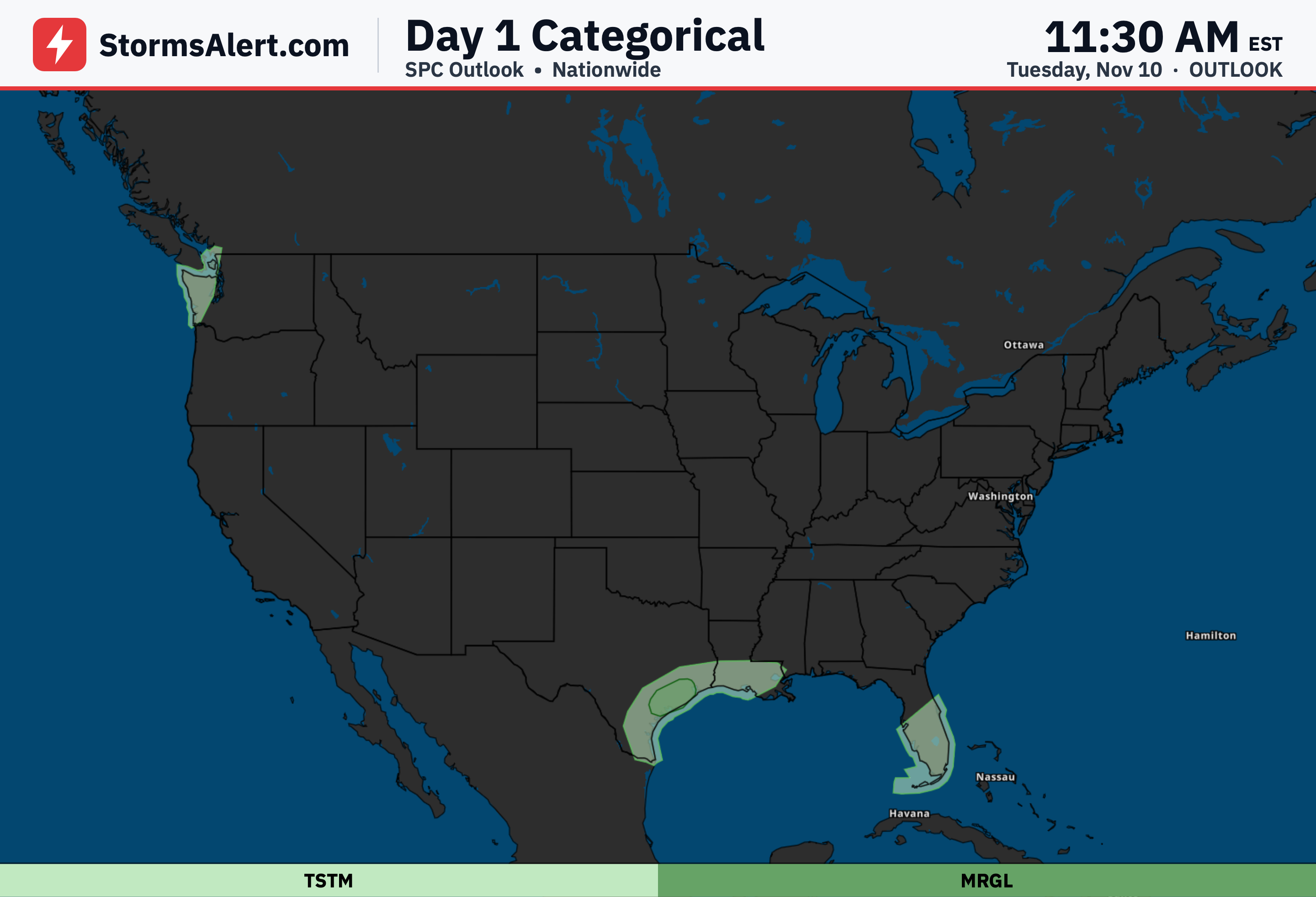
Colder air will spread through the Mississippi Valley and the South through Thursday, with a widespread hard freeze expected to reach into the South this weekend. Dry air and gusty north winds will raise fire danger across parts of the lower Mississippi Valley and the central Gulf Coast on Thursday, while scattered showers and thunderstorms are possible across the Florida Peninsula Wednesday afternoon.
Northern Plains
Much colder air will overspread the northern Plains, where overnight lows in the 20s are expected by Friday morning. This will bring the first freeze of the season to several locations that have not yet seen one.
West Coast
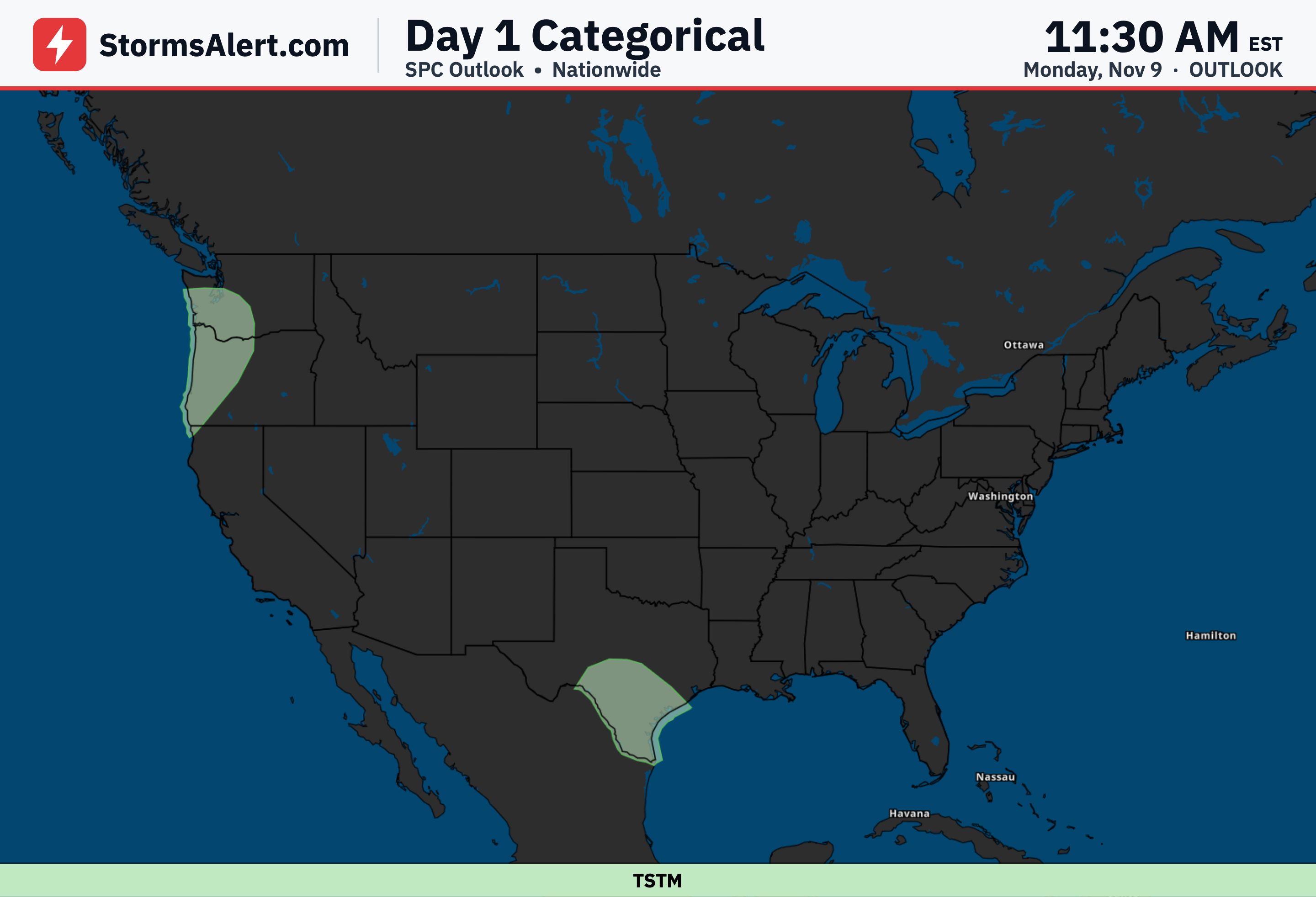
Unseasonable warmth continues across much of the West, with a few daily record highs possible from the Pacific Northwest into the Great Basin and southern Idaho. Rain will continue along the Washington coast and Olympic Mountains on Wednesday, and a potent front will bring heavy rain approaching northern California and the Pacific Northwest by Friday morning.