Isolated Hail and Damaging Winds Possible from Eastern Illinois to Middle Tennessee This Afternoon
Nationwide
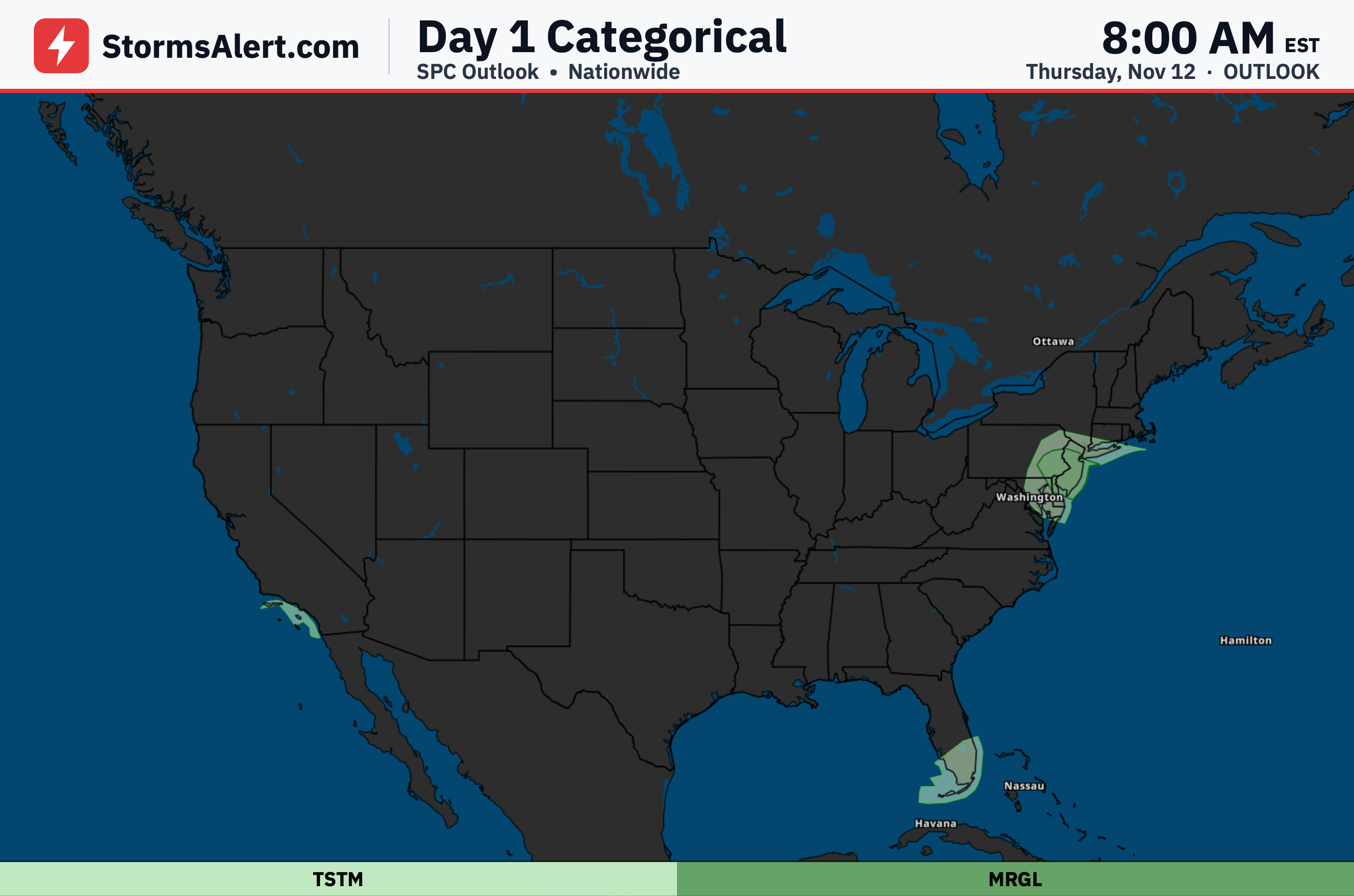
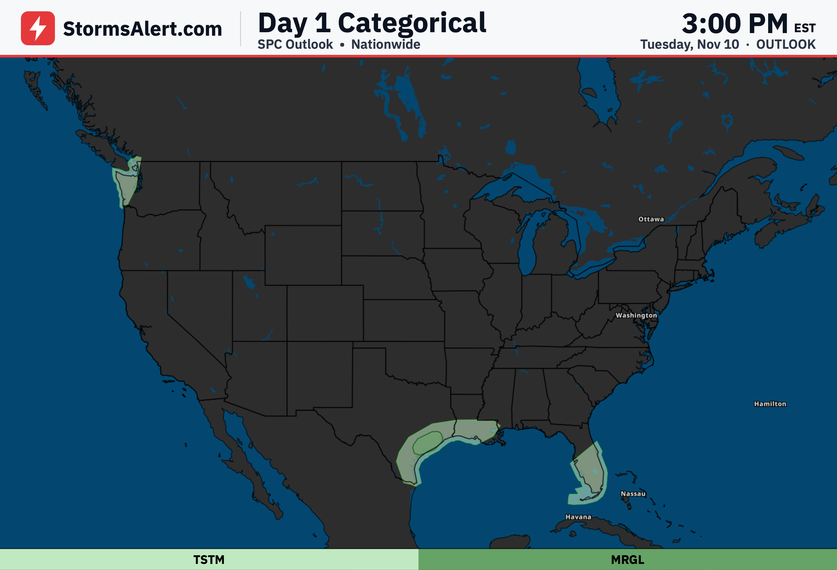
A marginal risk of severe thunderstorms covers parts of eastern Illinois into Indiana, western and central Kentucky, and middle Tennessee this afternoon and evening. Isolated hail, damaging winds, and perhaps a tornado are the main concerns in that corridor, while the rest of the country sees only general thunderstorm chances at most.
Illinois Indiana
Thunderstorms are expected to develop first over eastern Illinois this afternoon and then move quickly into Indiana. These storms could produce isolated hail and damaging wind gusts as they organize and race eastward ahead of a cold front.
Kentucky Tennessee
Additional storms may form farther south along and ahead of the front across western and central Kentucky into middle Tennessee through the afternoon and early evening. Isolated hail, damaging winds, and a brief tornado threat remain possible before the activity weakens later in the evening.
Florida Peninsula
Isolated to scattered thunderstorms should form along the Atlantic Coast sea breeze this afternoon across the central and southern Florida Peninsula. Stronger storms could produce small hail and gusty winds, though overall intensity is expected to stay limited.
Surrounding States
General thunderstorms are also possible across parts of Ohio, Alabama, Georgia, the Carolinas, Virginia, West Virginia, and the western Great Lakes states. These storms should remain ordinary without a severe weather risk.