Hail and Tornado Risk Concentrates Over Southern New Jersey and Far Southeast Pennsylvania
Nationwide
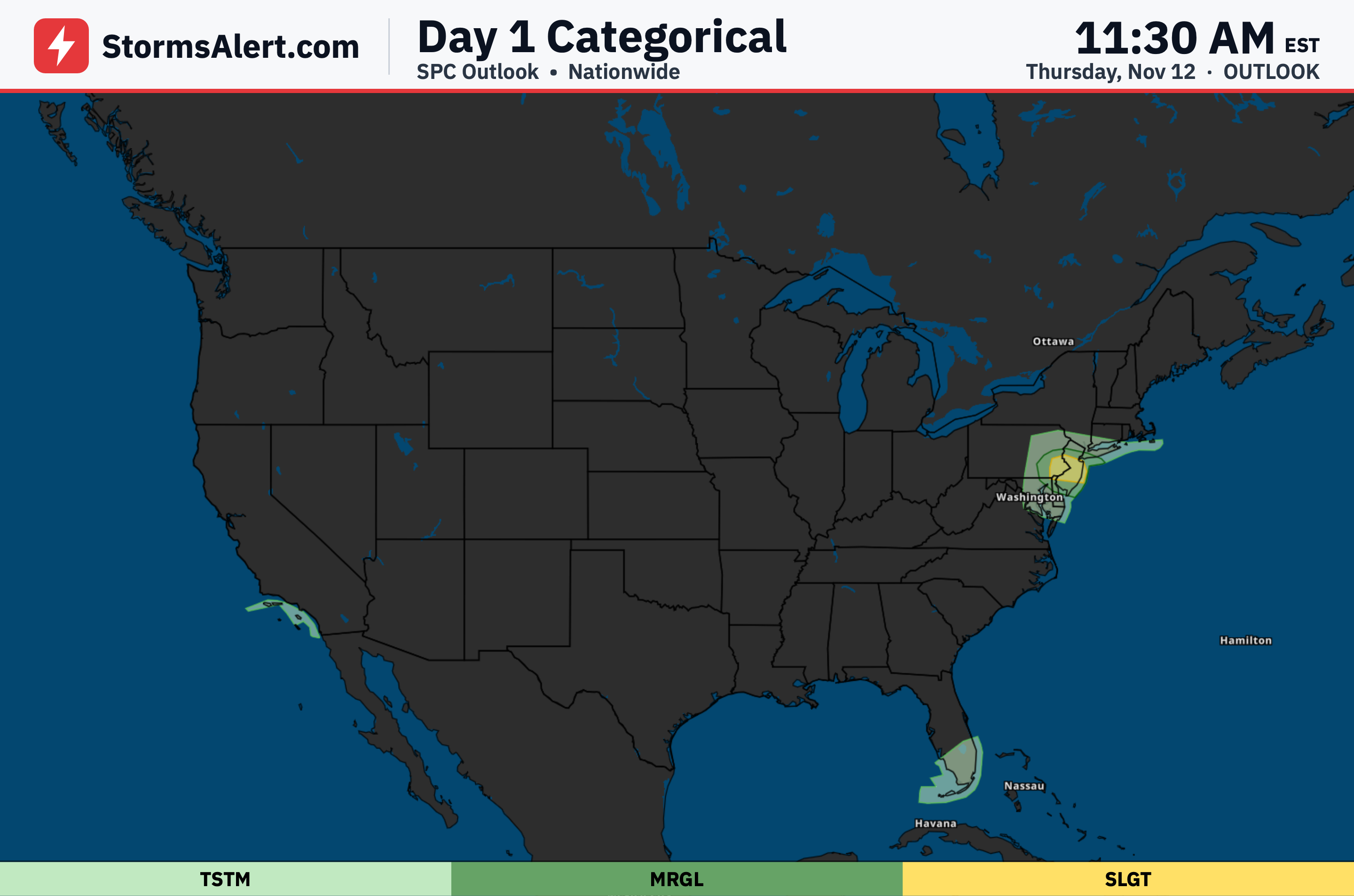
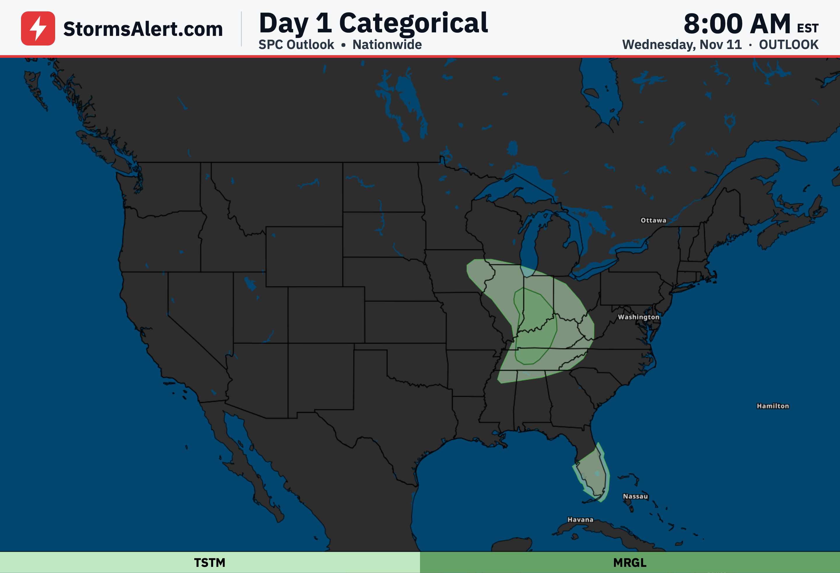
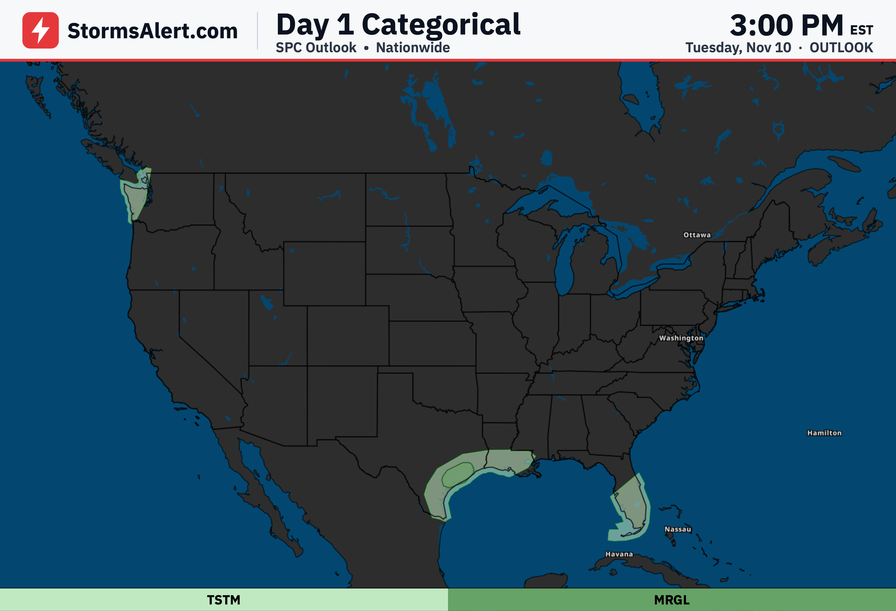
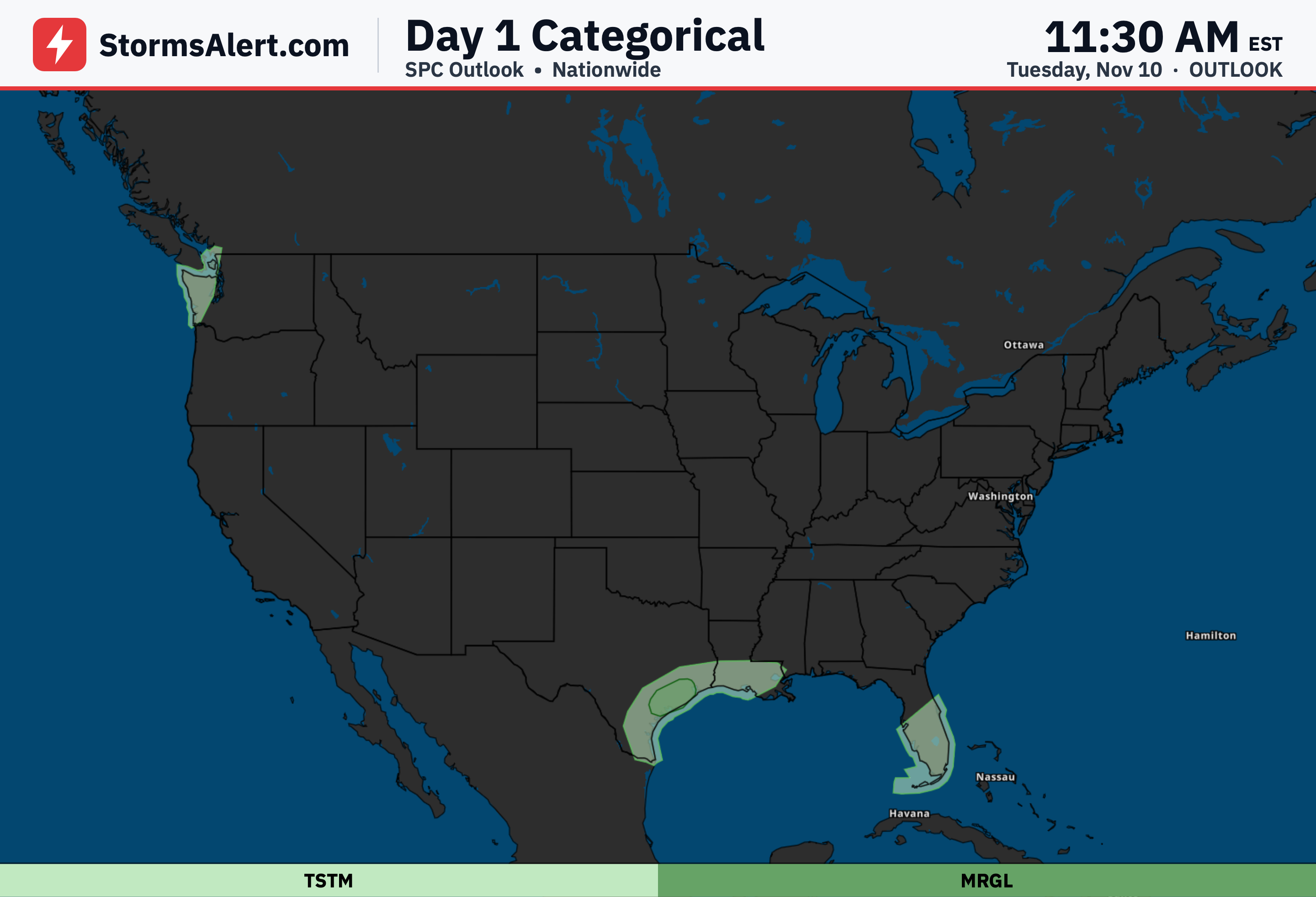
Severe weather potential remains limited across the United States today. The only Slight Risk covers a small area of far southeastern Pennsylvania and central to southern New Jersey this afternoon. A Marginal Risk exists over parts of New York, while general thunderstorms are possible in Connecticut, Florida, and Maryland. Organized severe storms are not expected elsewhere.
Mid-Atlantic
Severe thunderstorms capable of producing severe hail, a couple of tornadoes, and perhaps damaging winds remain possible across parts of southeastern Pennsylvania and southern to central New Jersey this afternoon. The primary severe risk continues to spread northeastward with a surface low through the afternoon.
Southeastern Pennsylvania
Far southeastern Pennsylvania sits under the Slight Risk this afternoon. Stronger storms in this focused area may produce severe hail as the main threat, along with the possibility of a tornado or two and isolated damaging winds before activity shifts east.
Southern New Jersey
Central and southern New Jersey also carry the Slight Risk as storms move across the region this afternoon. Residents should stay weather-aware for the potential of severe hail and a couple of tornadoes while the system progresses.
Delaware Maryland
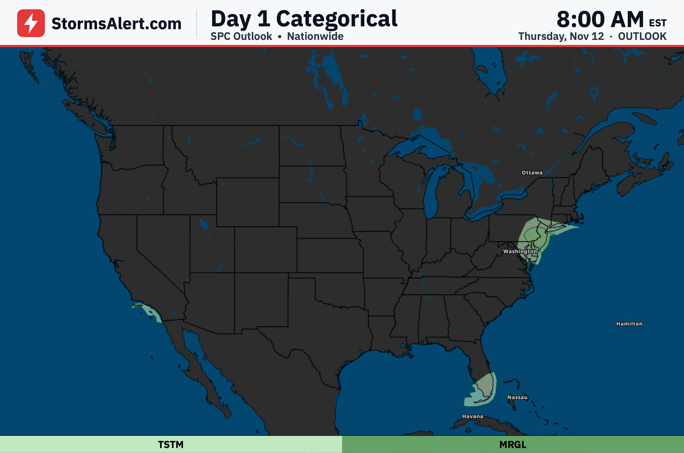
Earlier probabilities were trimmed across parts of eastern Maryland and Delaware. Those areas now fall under general thunderstorms or lower risk, while the main severe threat stays focused farther northeast over southeastern Pennsylvania and southern New Jersey this afternoon.