Scattered Flood Risk Along Texas Coast on Sunday Before California Sees One Wednesday
Coastal Texas
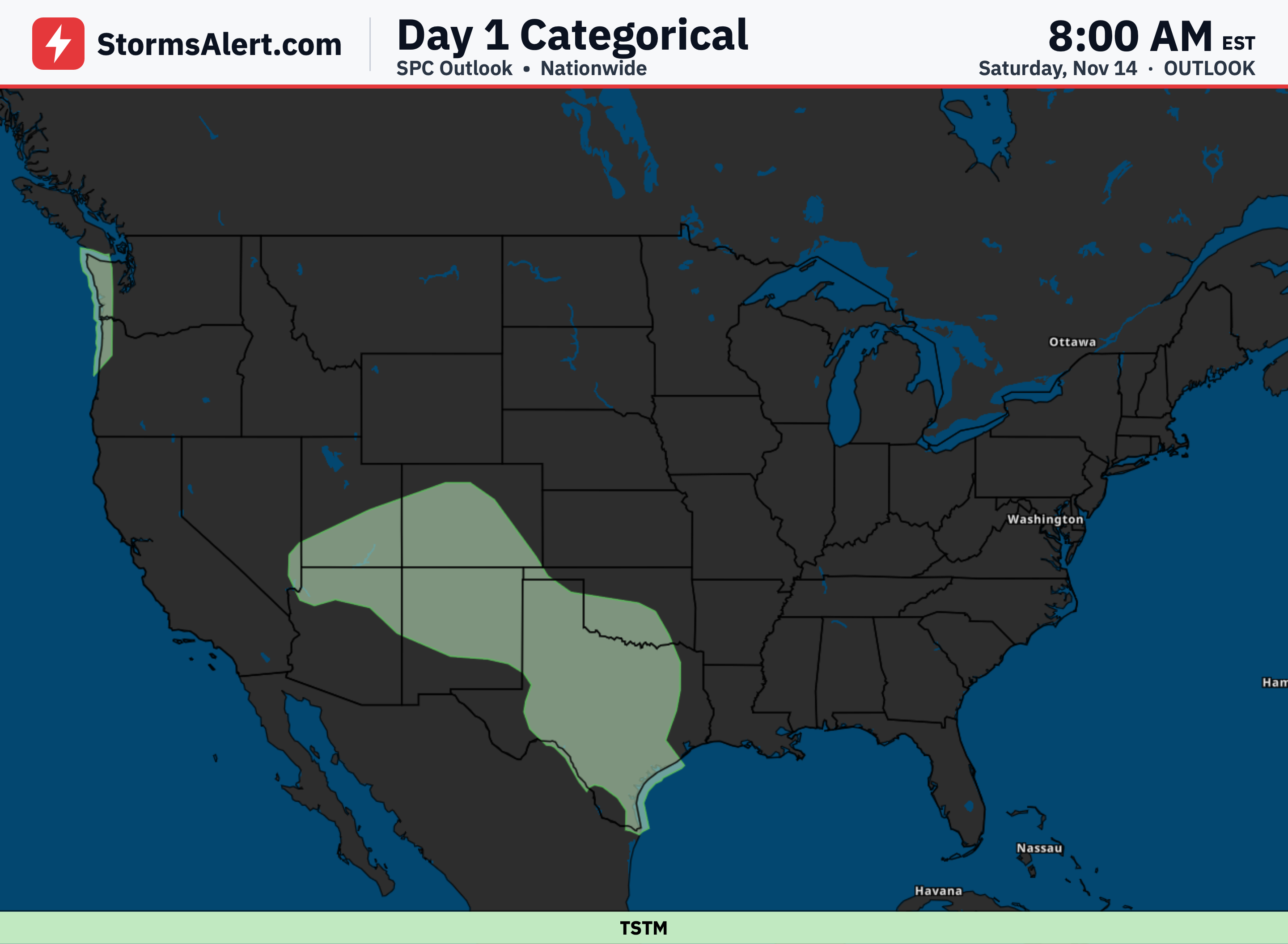
From Saturday, November 14th, into early Sunday, November 15th, a Slight risk covers portions of coastal Texas, meaning scattered flash flooding is possible on Sunday. Some forecasts keep the heaviest rain over the Gulf, but others still show enough on land to raise flooding concerns, so the Slight area stays in place with the Marginal risk trimmed a bit inland. Low water crossings, city streets, and small creeks could see issues if heavier rain sets up over land. Never drive through flooded roads if water begins to cover them.
Nationwide
From Sunday, November 15th, into early Monday, November 16th, the chance of rain heavy enough to cause any flash flooding stays very low across the country, under 5 percent. No specific risk areas are highlighted for this period, so widespread flooding problems are not expected.
Southwest
From Monday, November 16th, into early Tuesday, November 17th, a Marginal risk covers parts of the Southwest, especially west-facing terrain in northern Arizona at or below 6500 feet, meaning isolated flash flooding is possible. Hourly rainfall rates around 1.25 inches could occur where storms align or merge. This intensity might cause problems in dry washes, arroyos, or burn scars, though the system is moving through quickly, which limits the overall threat. Higher elevations above 7000 feet are more likely to see snow instead.
East Florida
Also from Monday, November 16th, into early Tuesday, November 17th, a Marginal risk is in place for portions of the Florida east coast from the Georgia line to Lake Okeechobee, meaning isolated flash flooding is possible. Persistent flow off the ocean can support organized storms, with hourly rain amounts as high as 1.75 inches where short bands set up and train over the same spots. City streets and low-lying areas could see brief flooding if those bands develop.
Central California
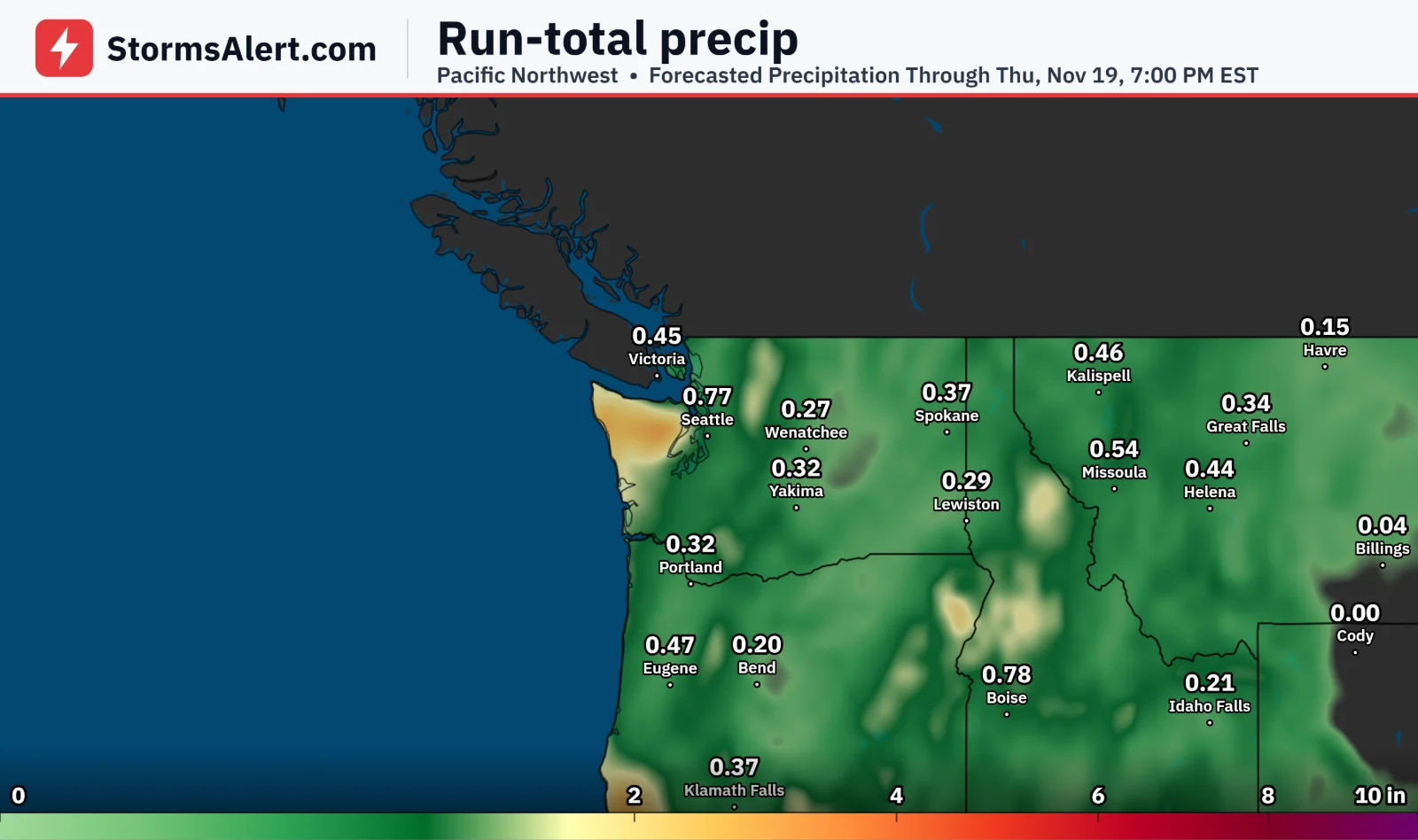
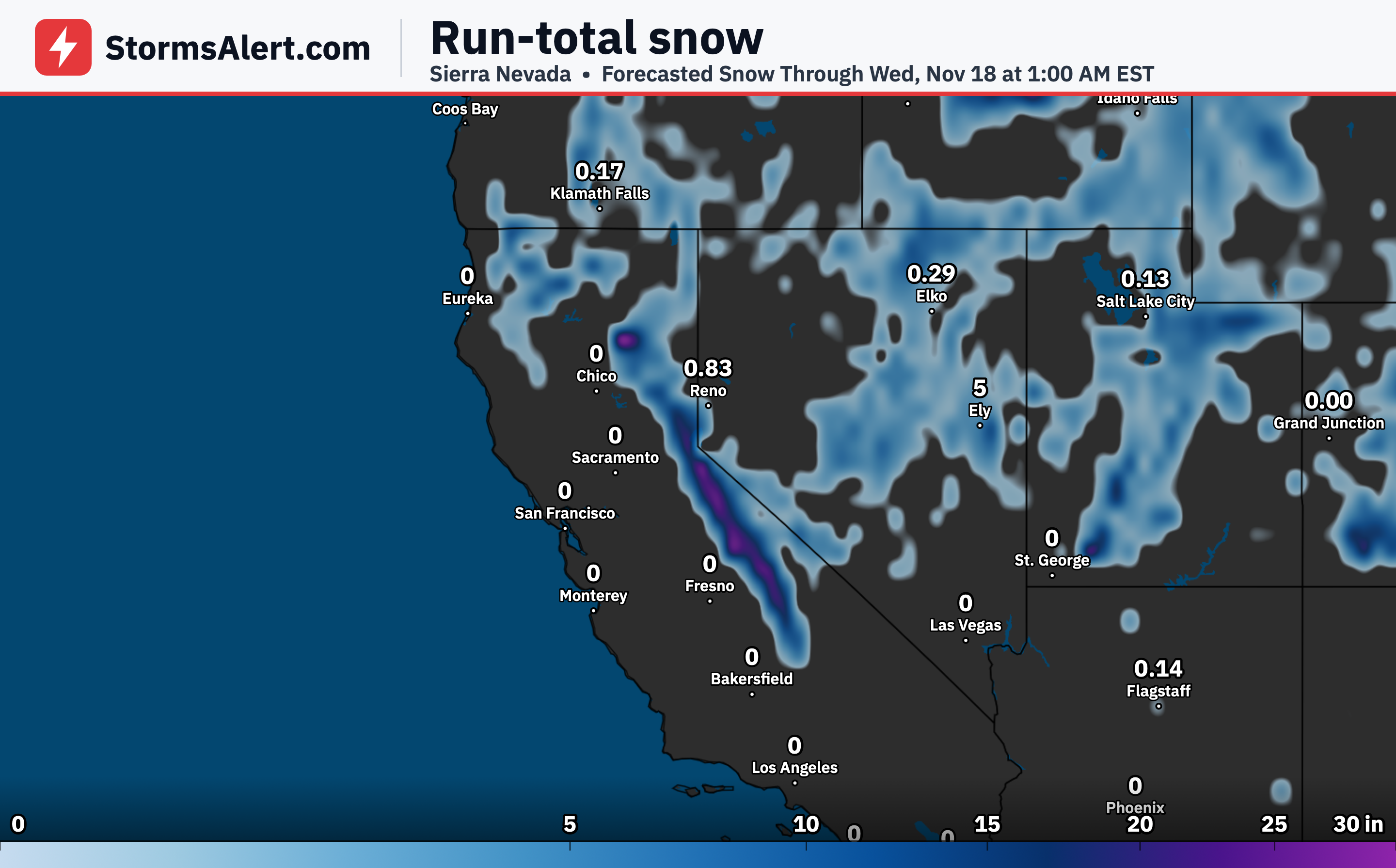
From Tuesday, November 17th, into early Wednesday, November 18th, a Slight risk covers the central Coastal Ranges and through the Bay Area on Wednesday, meaning scattered flash flooding is possible. Areal average rainfall of 1 to 2 inches is expected, with locally higher totals of 3 to 5 inches, much of it falling in a 3- to 6-hour window as a Pacific front moves through. Low water crossings, city streets, small creeks, and areas with already wet ground could flood. Never drive through flooded roads. Additional rain is likely farther inland toward the central Valley and Sierra foothills, though snow levels near 4000 feet should keep the heaviest amounts as snow higher up and limit flooding there.