Flood Threats Target Southeastern Texas While Snow Accumulates in Western Mountains
Pacific Northwest
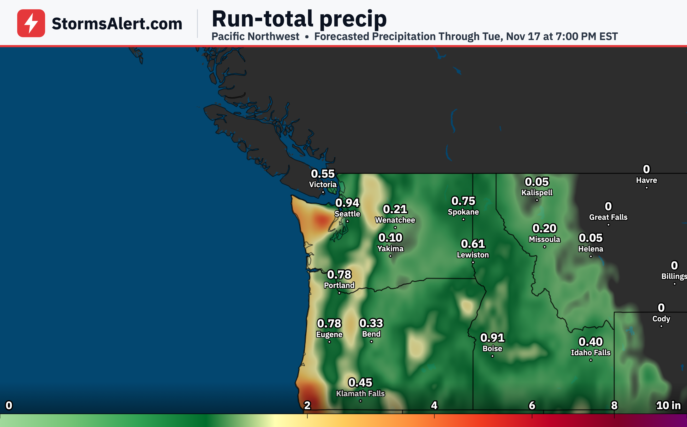
A Pacific system will bring periods of rain along the Northwest Coast on November 15th that spreads inland through November 16th. Higher elevations along the Cascades can expect mountain snow as colder air arrives with the front. Drivers and anyone outdoors should watch for wet roads and possible slick spots in the mountains.
California
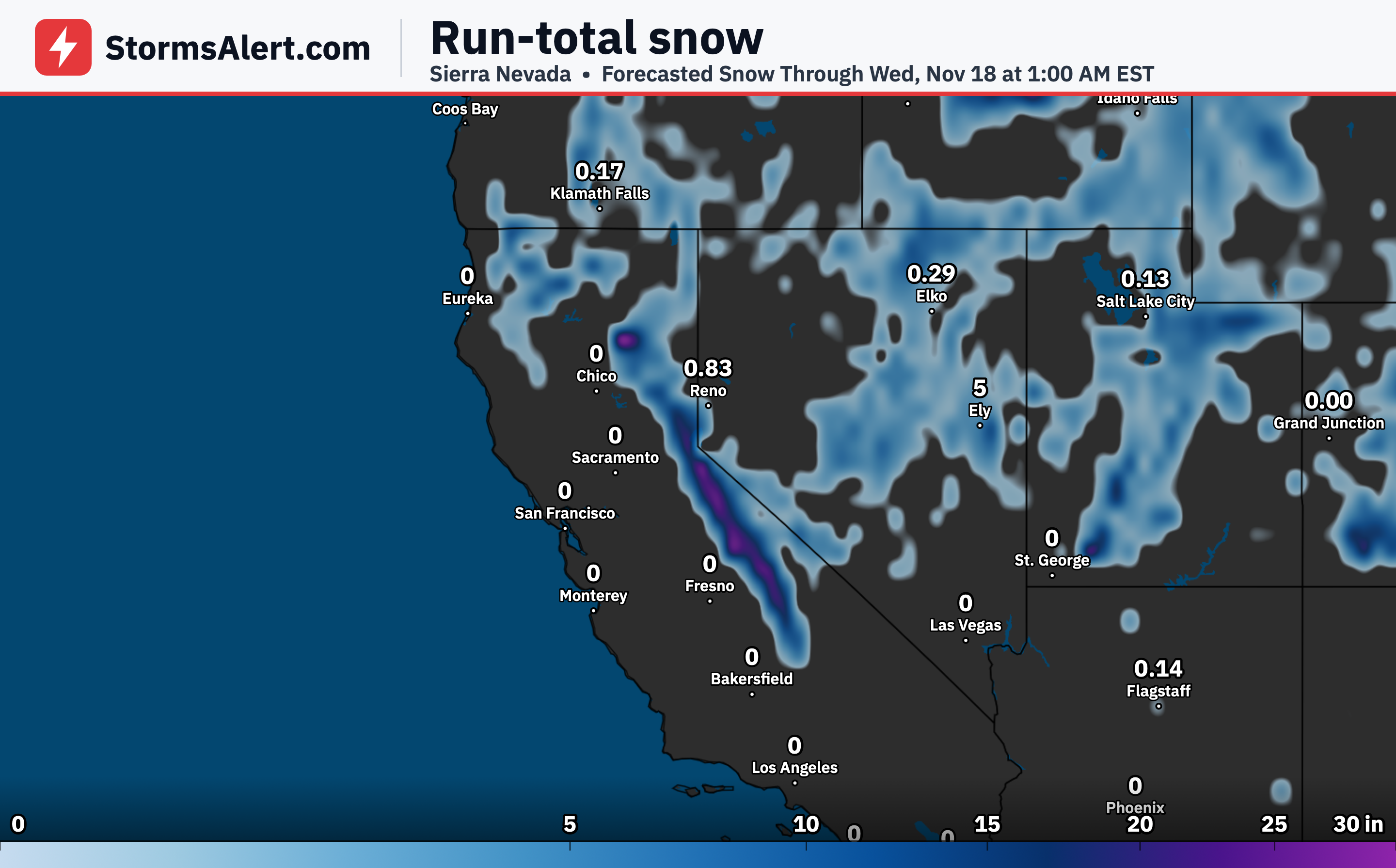
Rain will develop and spread across California through November 16th as the system moves inland. Higher elevations in the Sierra Nevada will see mountain snow from the colder air behind the front. People traveling into the mountains should be ready for wintry conditions that could affect roads and trails.
Intermountain West
The same system will spread rain inland across the Intermountain West through November 16th. Mountain snow is expected at higher elevations as the front brings colder air. Conditions may turn wintry in the mountains, so anyone with outdoor or travel plans should check local conditions.
Southern Plains
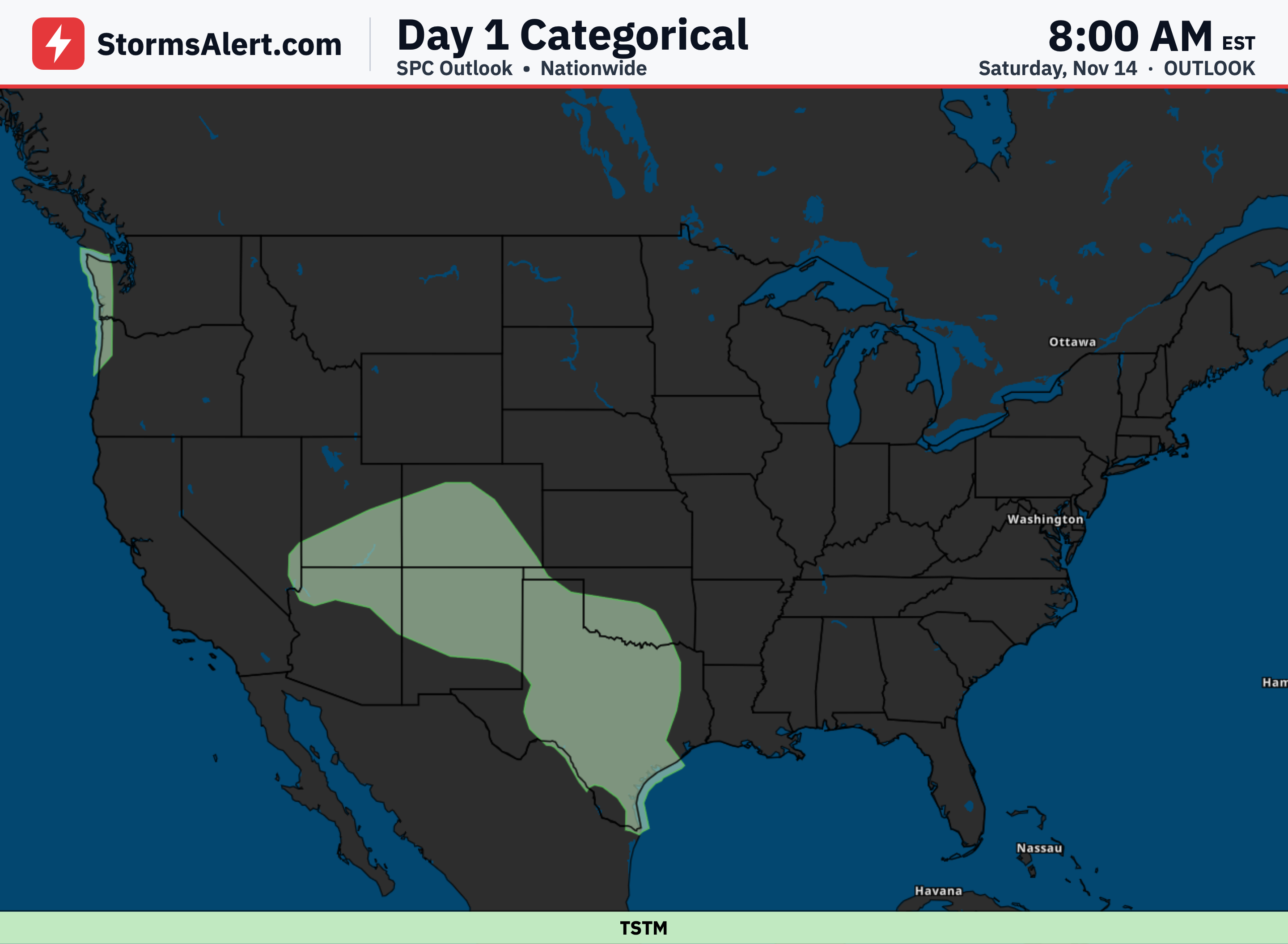
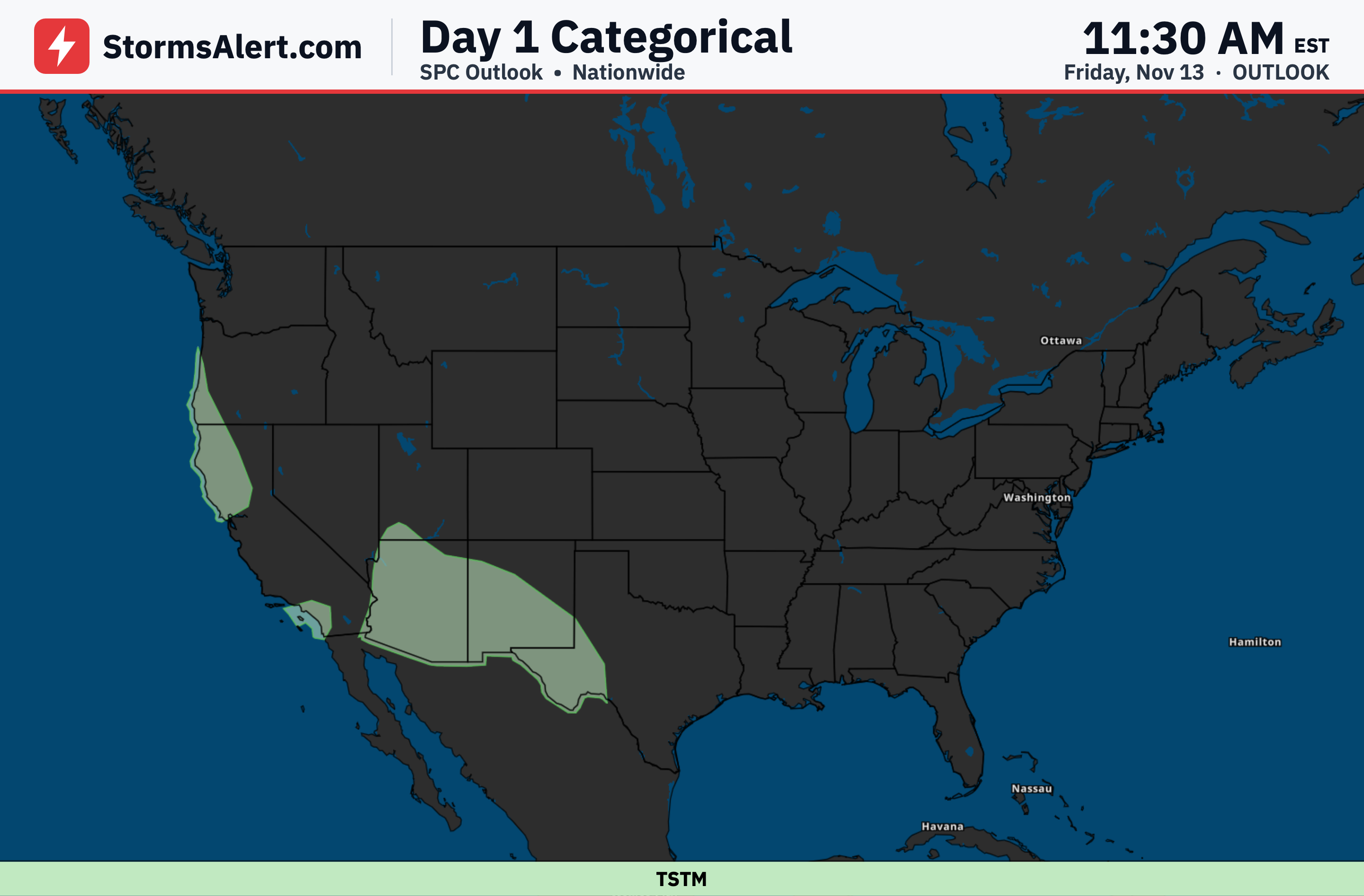
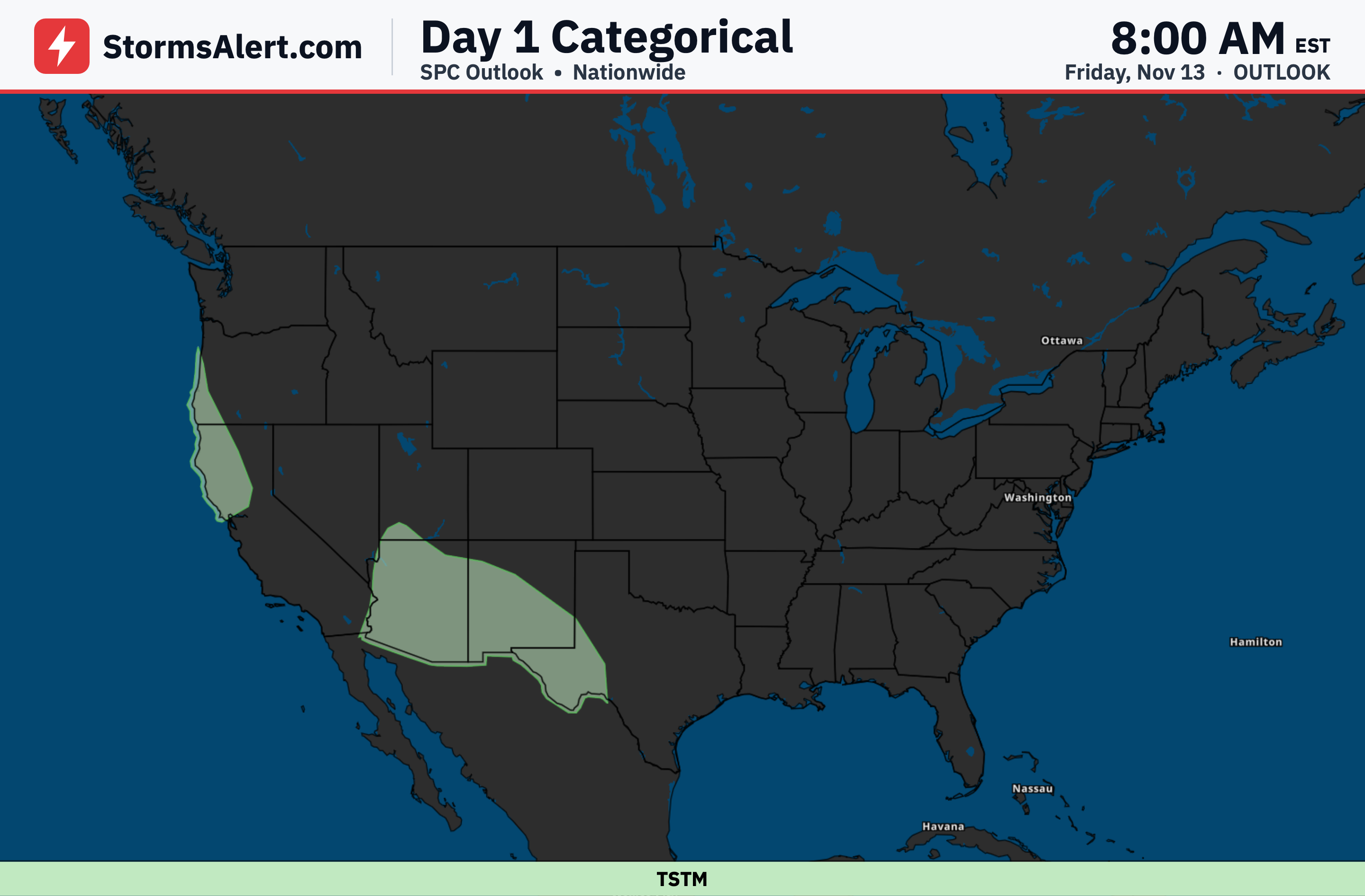
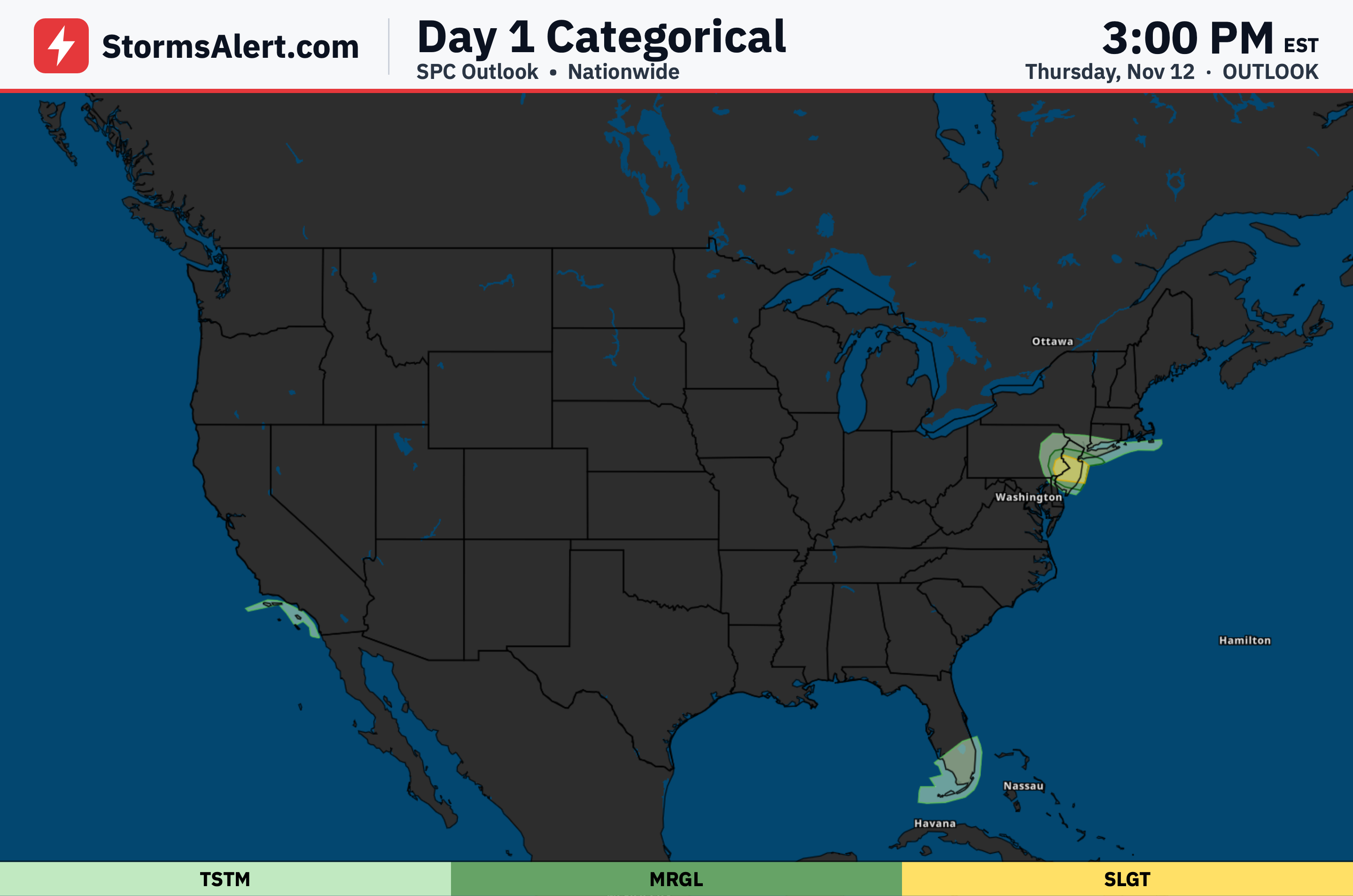
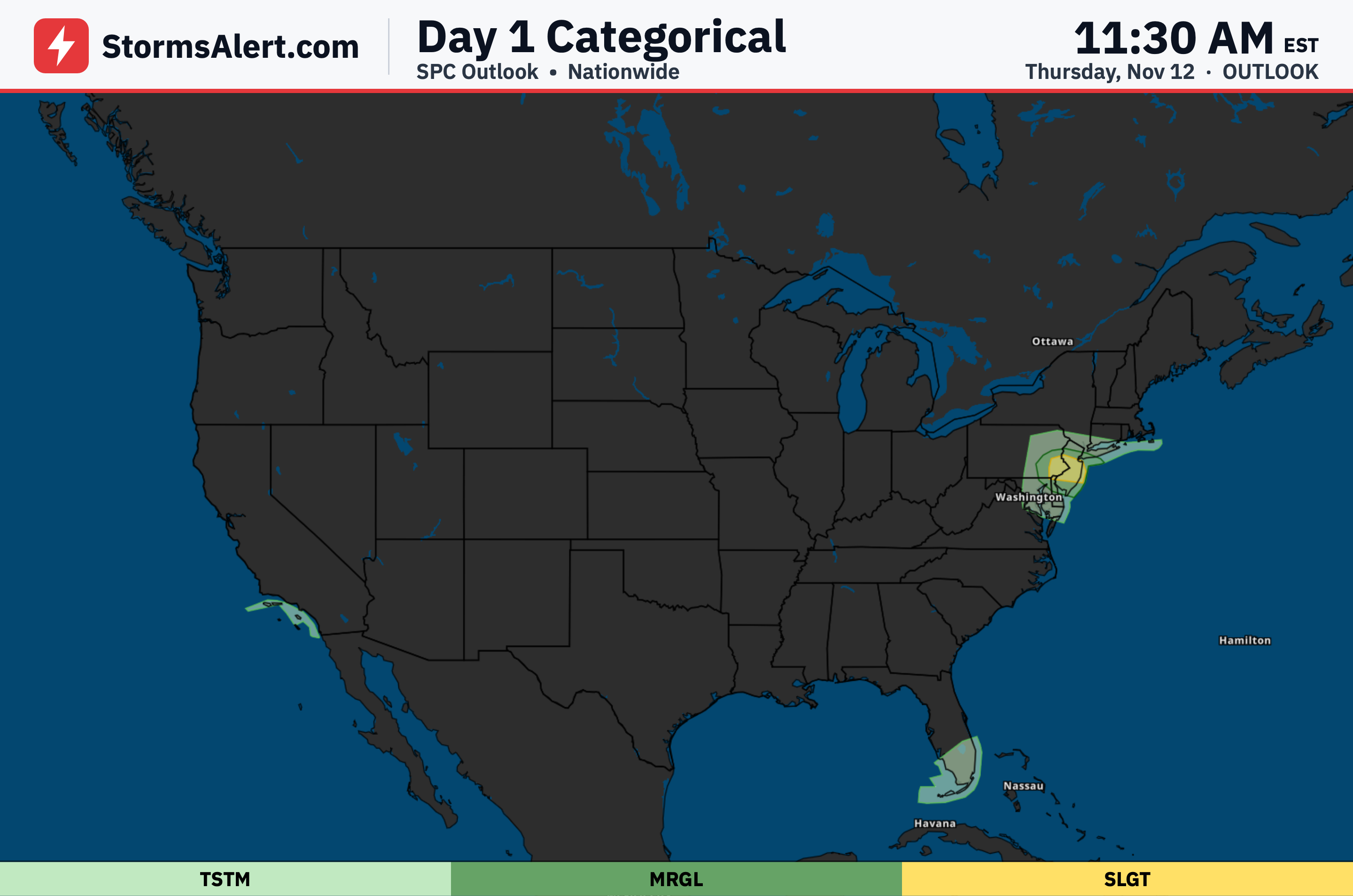
Showers and thunderstorms will move across the southern Plains into the lower Mississippi Valley on November 15th. Some storms may produce heavy rainfall rates along with possible gusty winds and isolated strong to severe thunderstorms. The main area of activity is expected to move offshore by November 16th.
Southeastern Texas
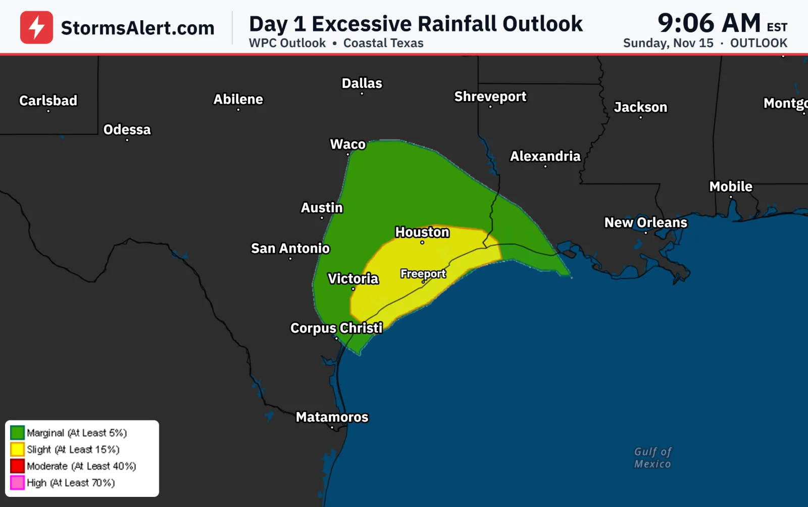
Portions of southeastern Texas face flooding concerns on November 15th from heavy rainfall rates tied to organized storms. Warm moisture from the Gulf will help fuel these downpours as the system interacts with the frontal boundary. Residents should stay alert for possible flooding that could affect roads and low-lying spots.
Northeast
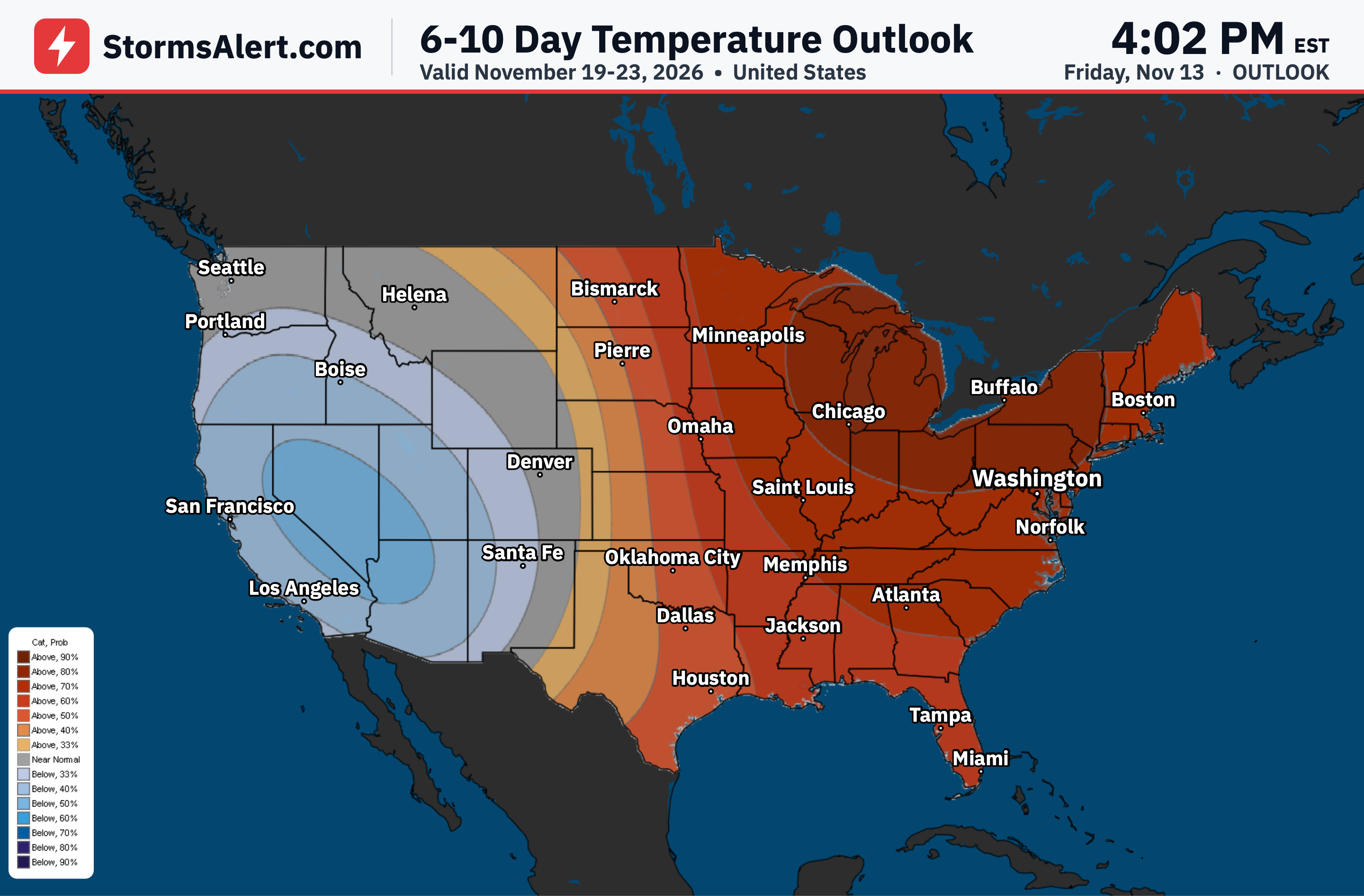
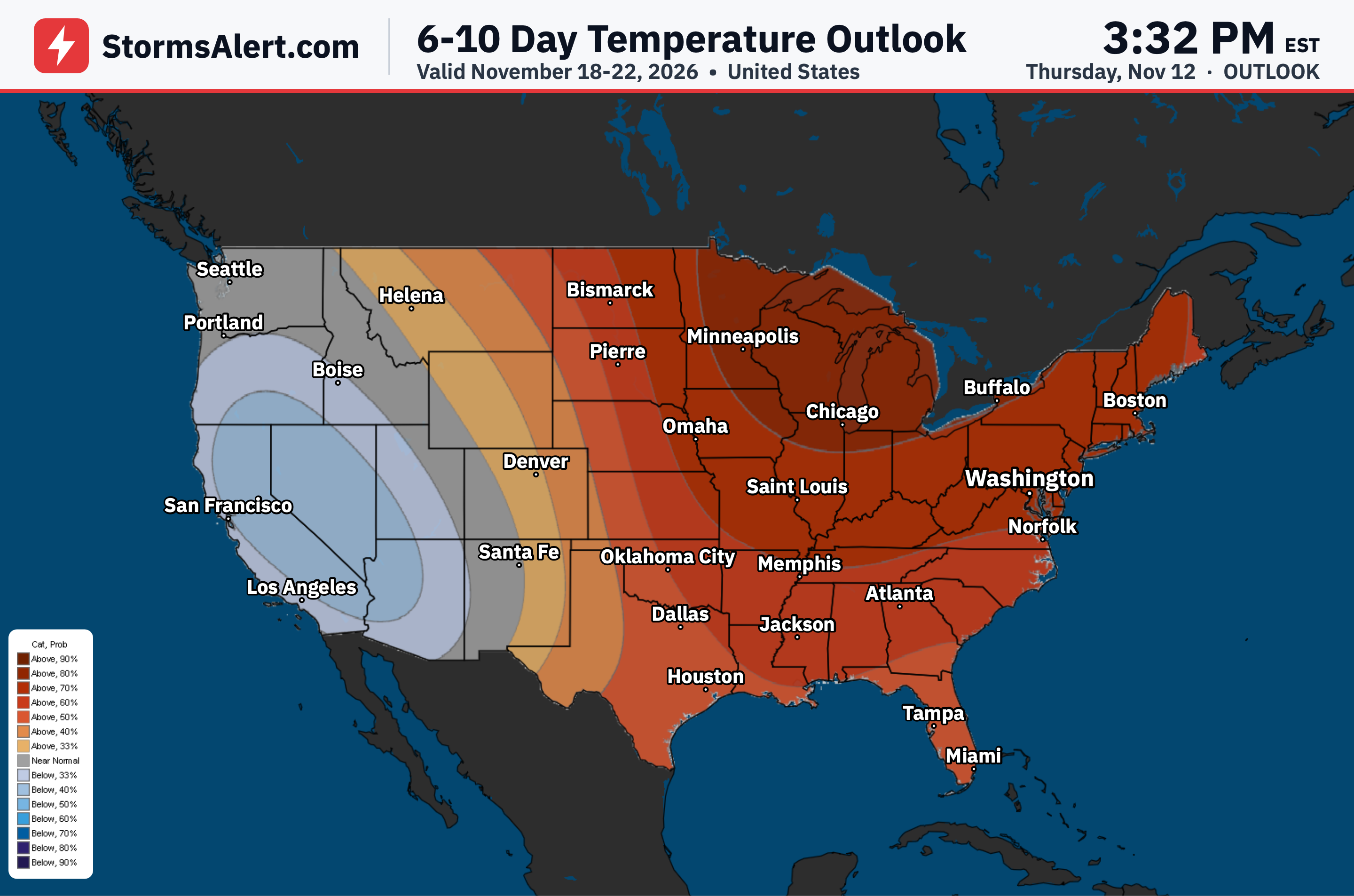
Cold northerly flow will support lake-effect precipitation downwind of Lakes Erie and Ontario on November 15th. Lower elevations can expect rain showers while higher terrain may see a rain and snow mix. Building high pressure will help bring generally dry and cooler temperatures to the area.
Great Lakes
The shifting system will keep cold northerly flow in place over the Great Lakes on November 15th, continuing lake-effect precipitation. Rain showers are likely in lower elevations with a possible rain and snow mix on higher terrain. Cooler air will settle in as high pressure builds eastward from the Ohio Valley.
Southeast
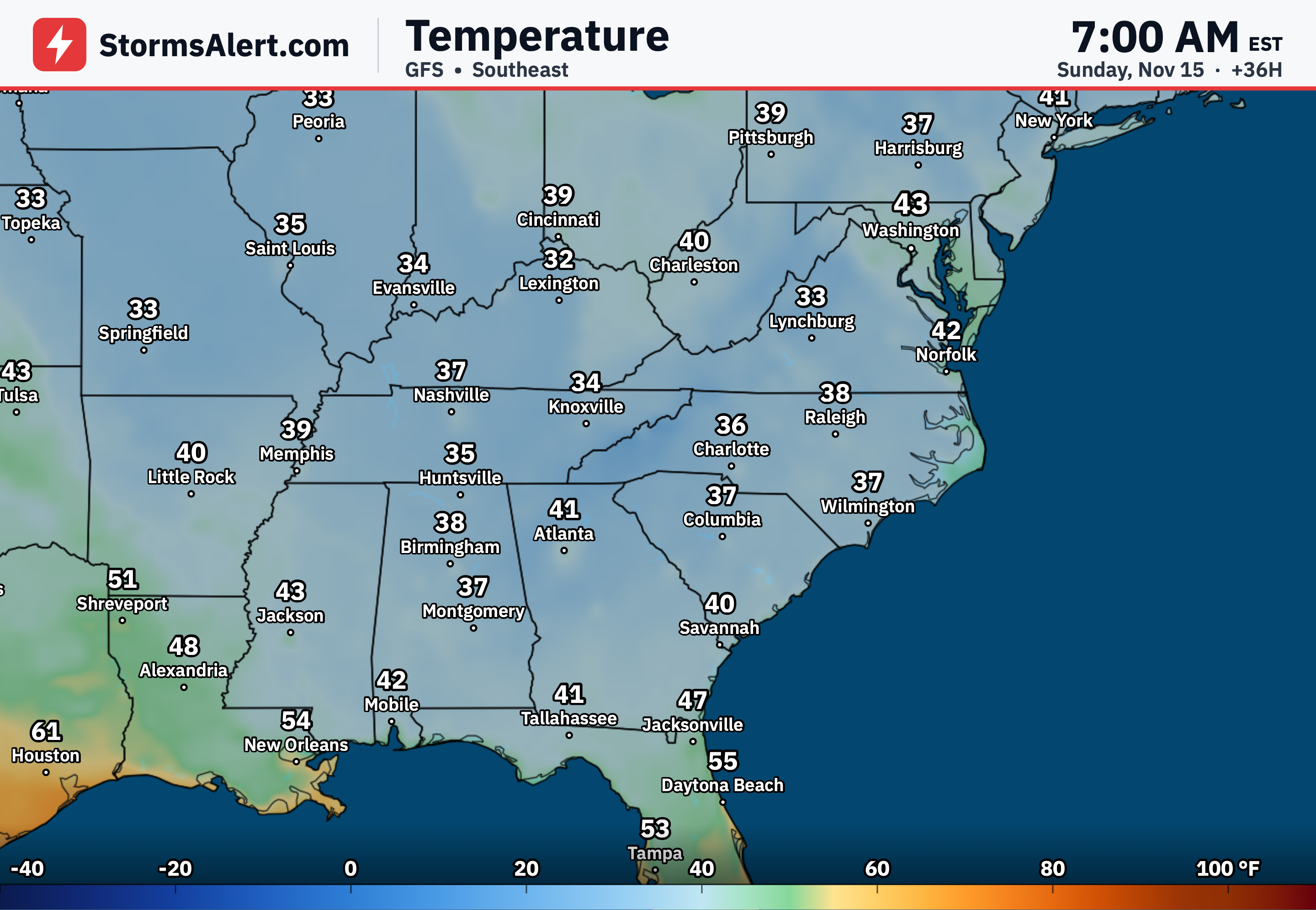
Surface high pressure building eastward from the Ohio Valley will promote generally dry and cooler temperatures across the Southeast. Scattered coastal showers are possible across portions of Florida through November 16th from easterly flow. Overall the region should see quieter weather with the cooler air in place.