Sierra Snow Continues as Flood Risks Linger in Florida and California
Eastern Florida
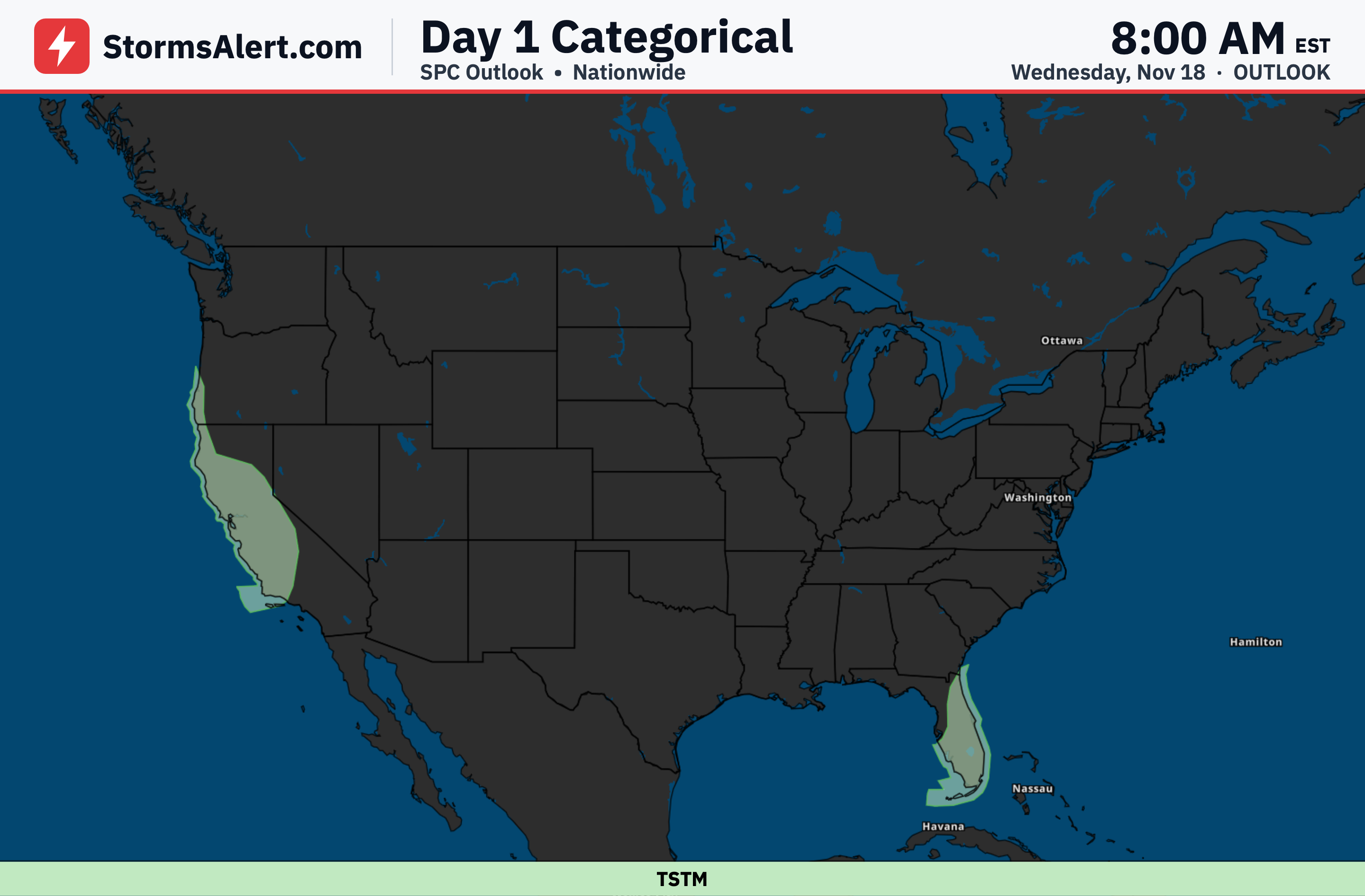
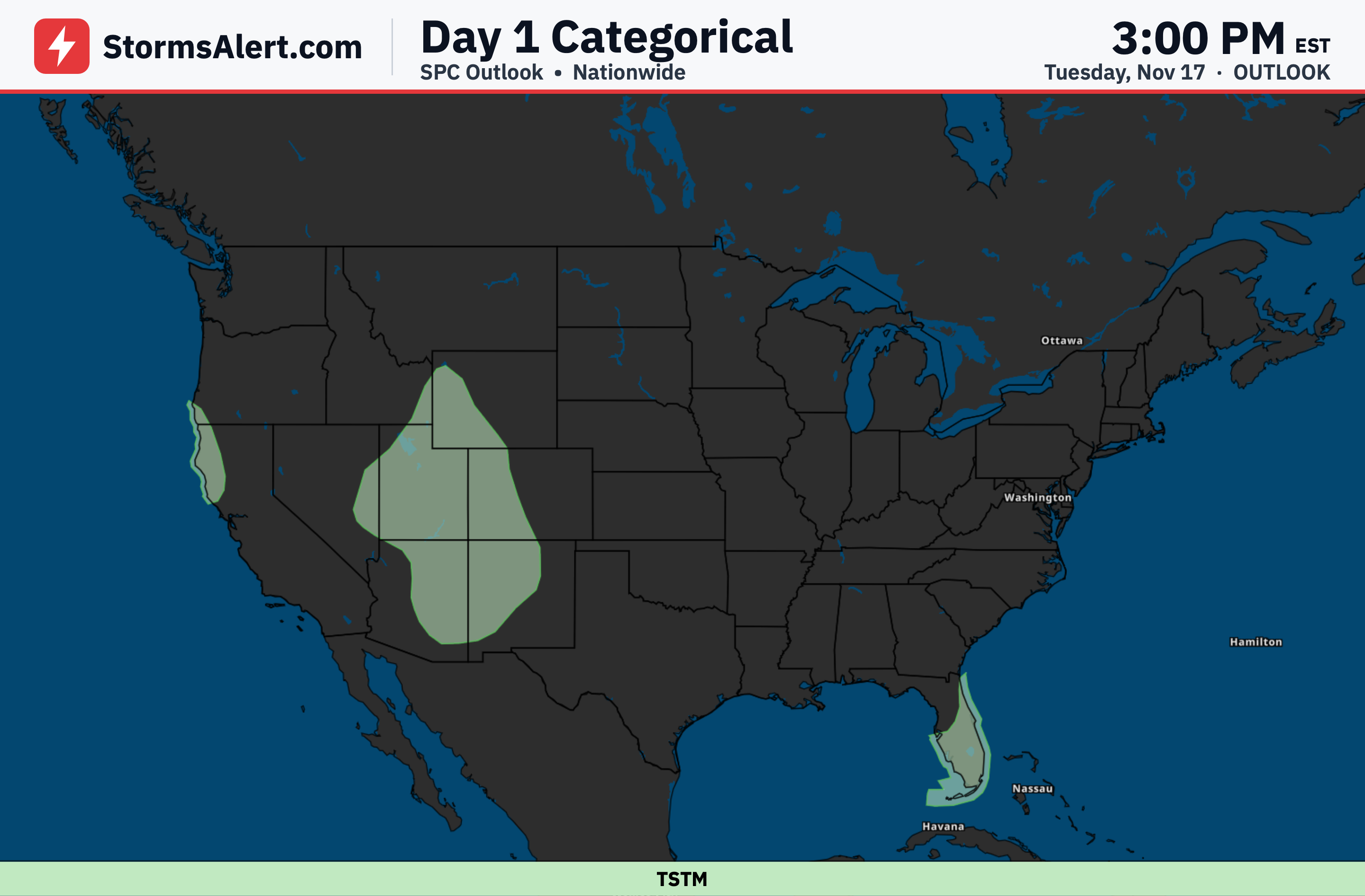
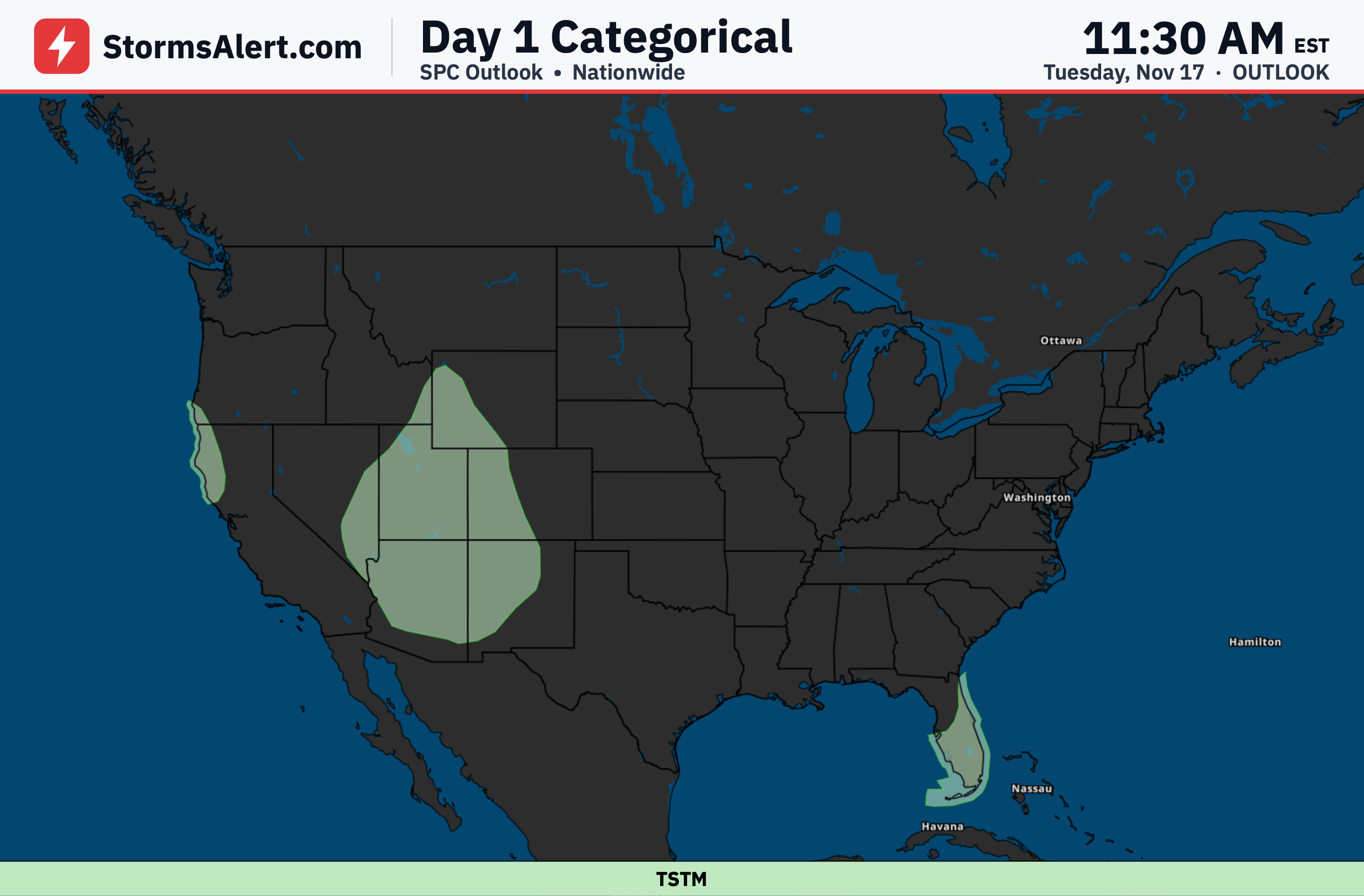
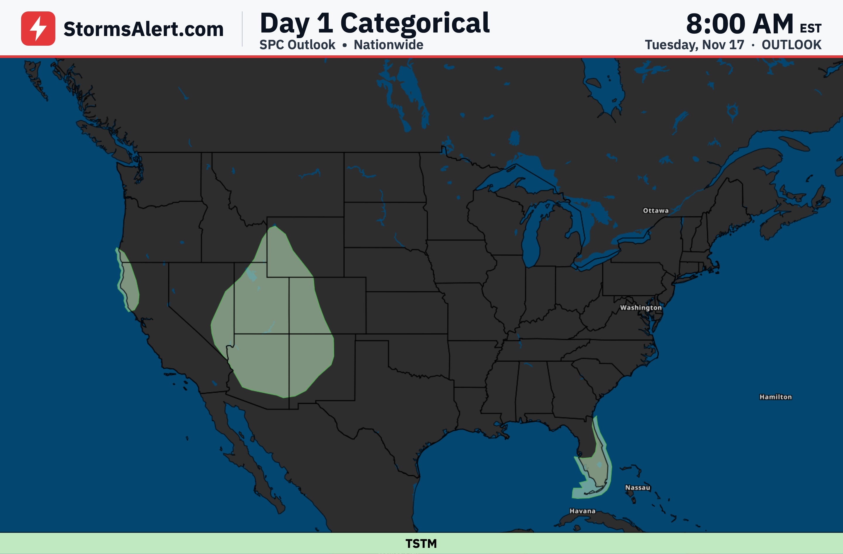
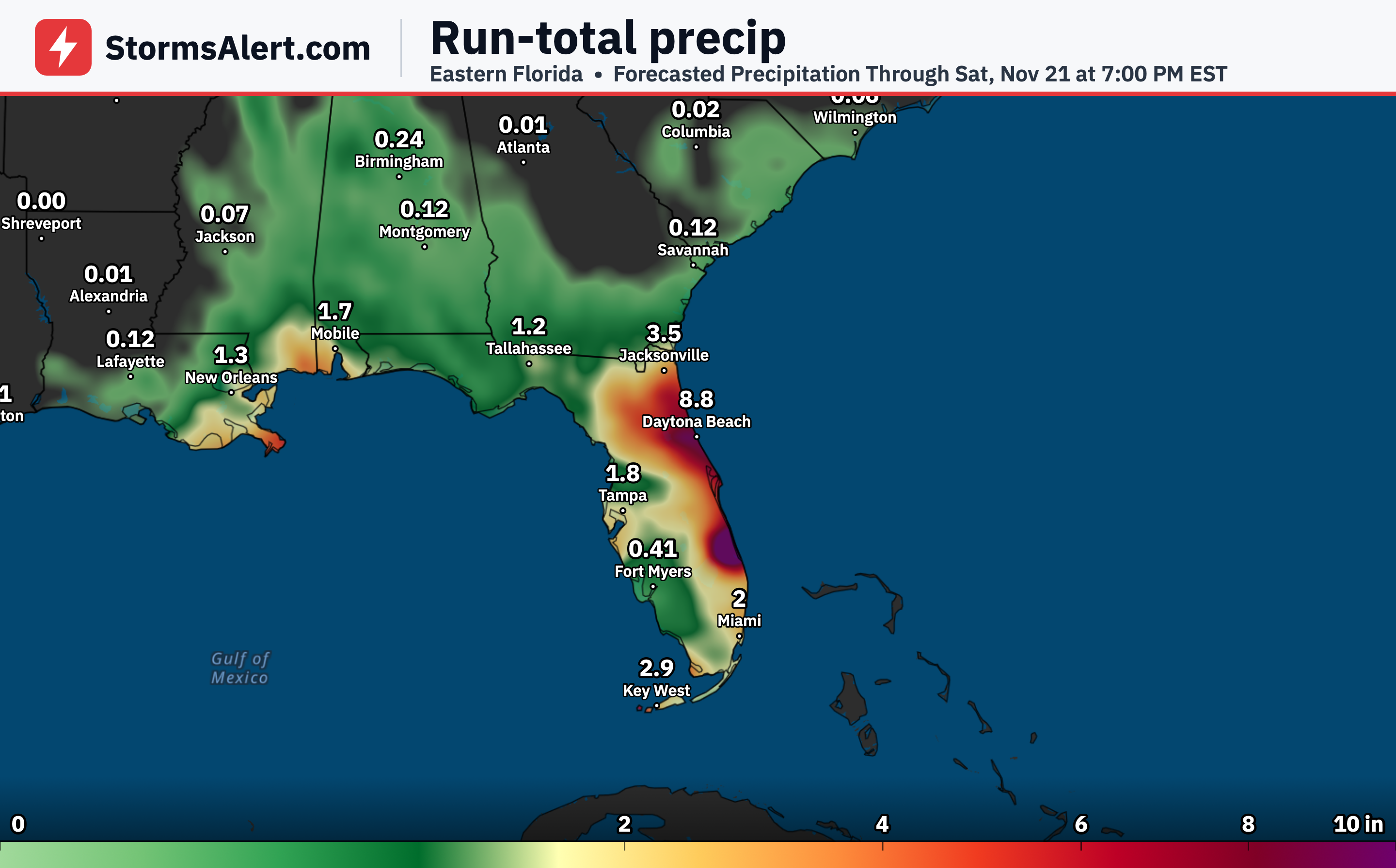
Numerous showers and thunderstorms will continue across eastern Florida through the end of the week. Slow-moving and training storm bands raise localized flash flooding concerns, with the greatest risk focused on portions of the Space and Treasure Coast through Thursday.
California Coast
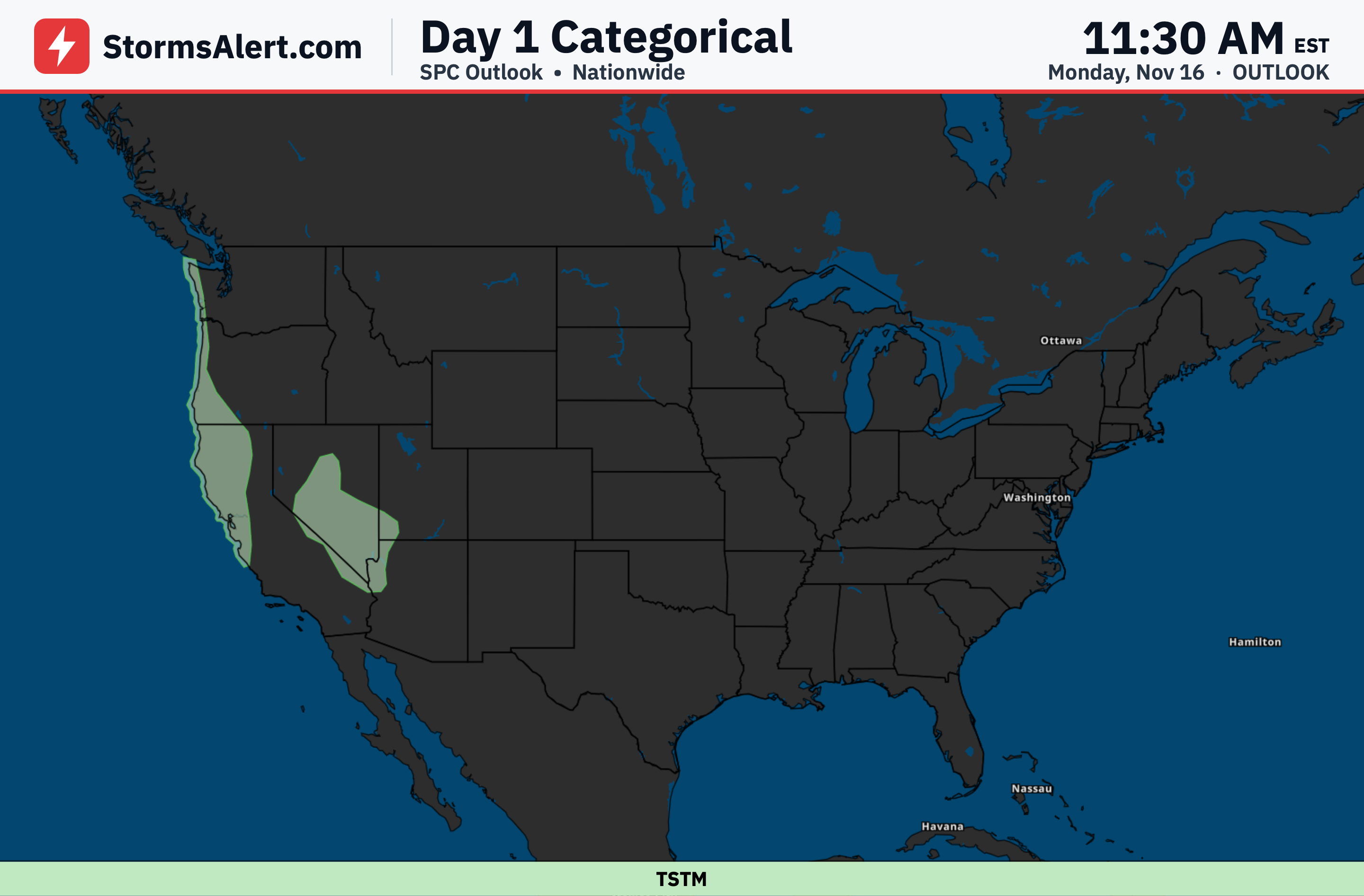
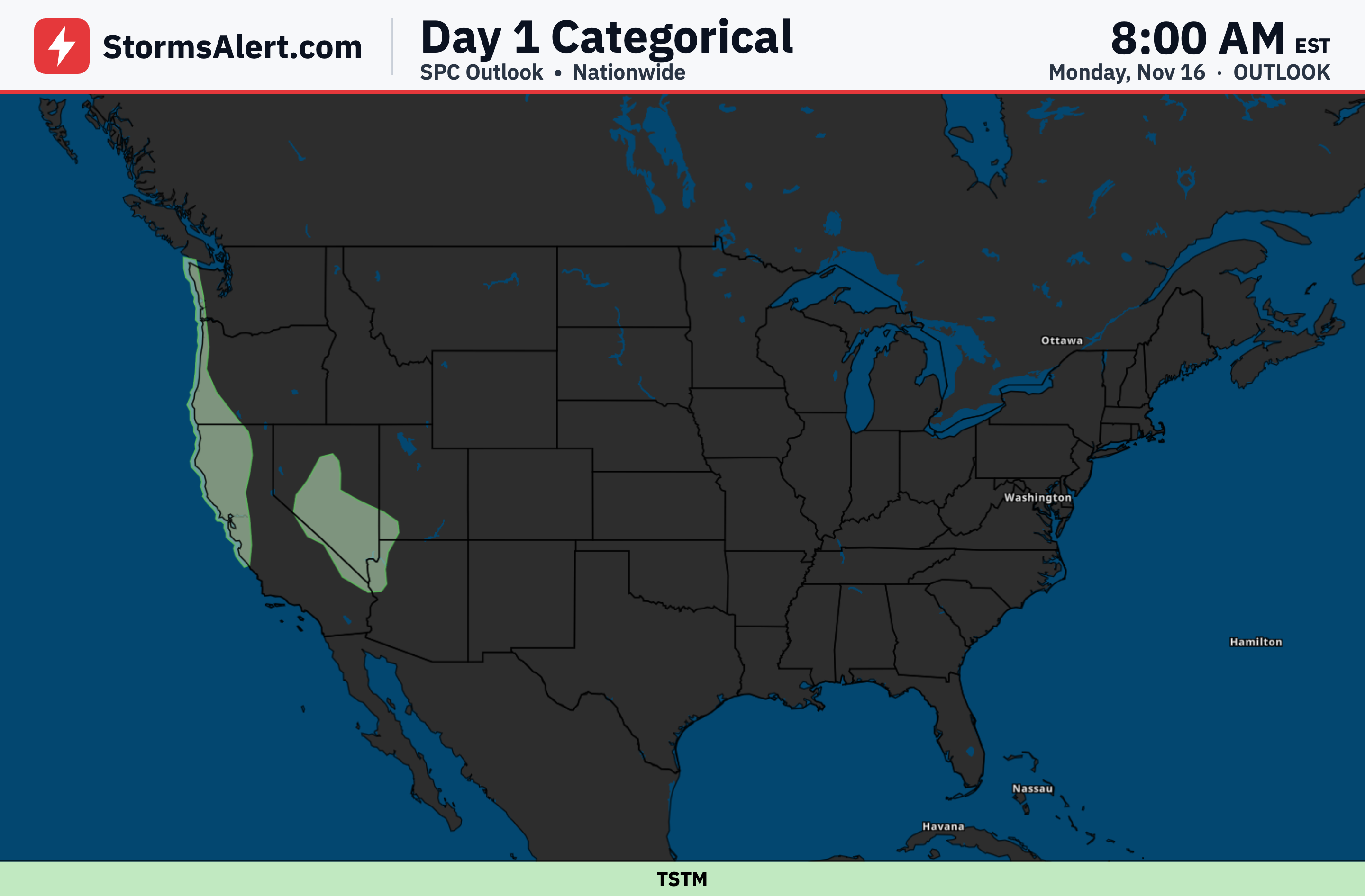
Periods of moderate to heavy rainfall will affect portions of California through Thursday, especially along the coastal areas and foothills. Localized flash flooding is possible across central and southern California on Wednesday and Thursday.
Sierra Nevada
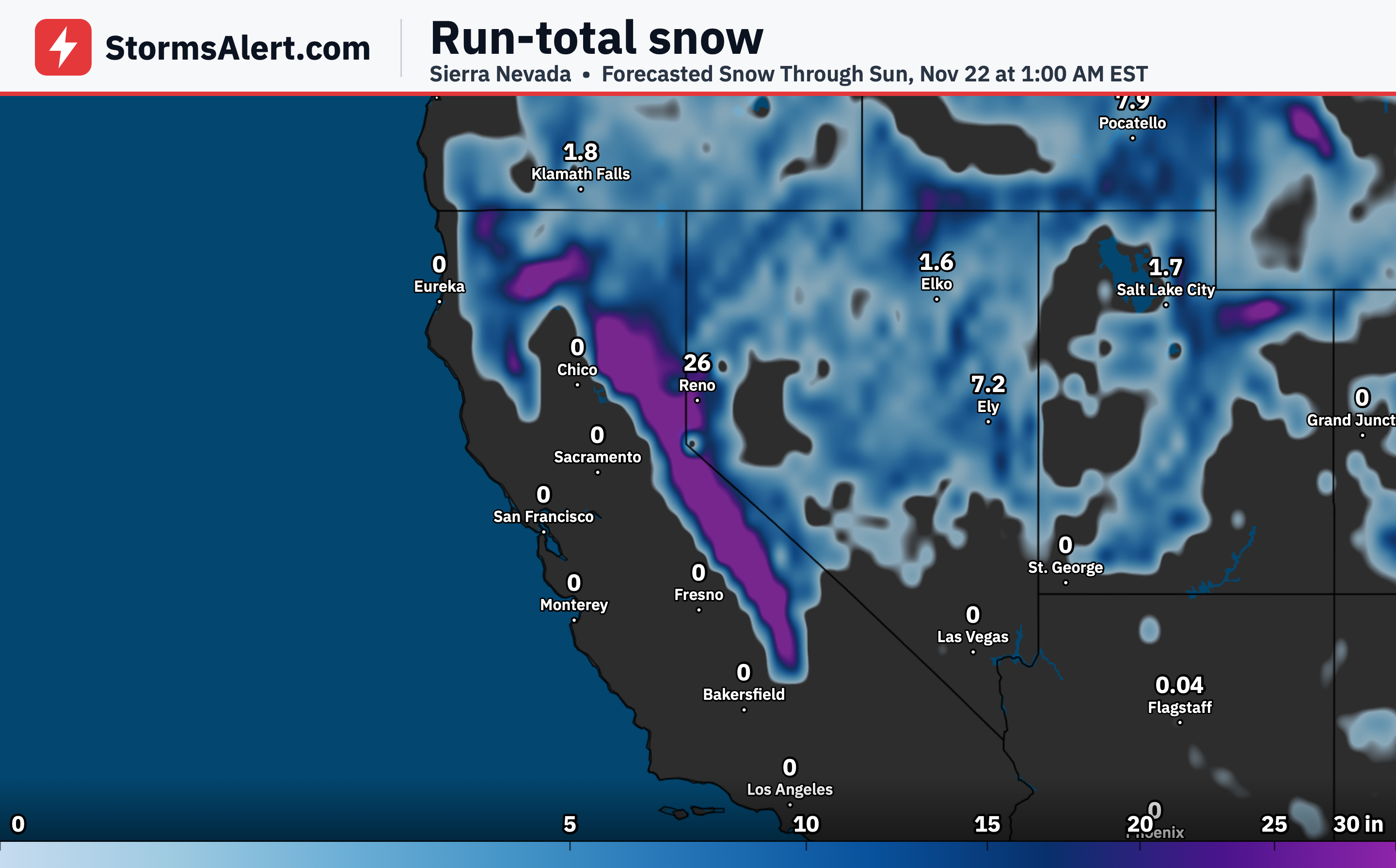
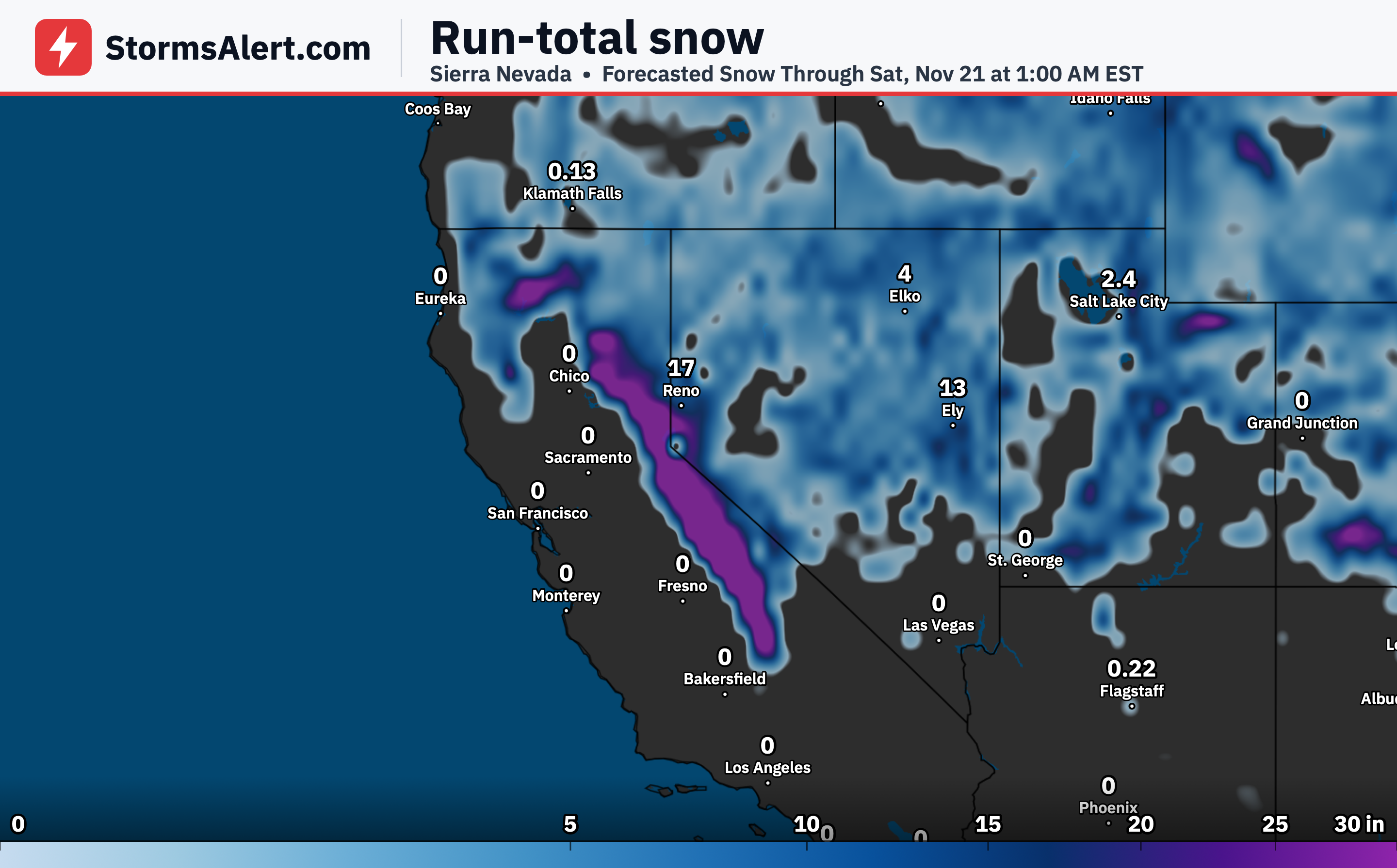
A substantial mountain snow event will continue across the Sierra through Thursday. Moderate to heavy snow combined with gusty winds may lead to hazardous travel conditions and reduced visibility over the passes.
Pacific Northwest
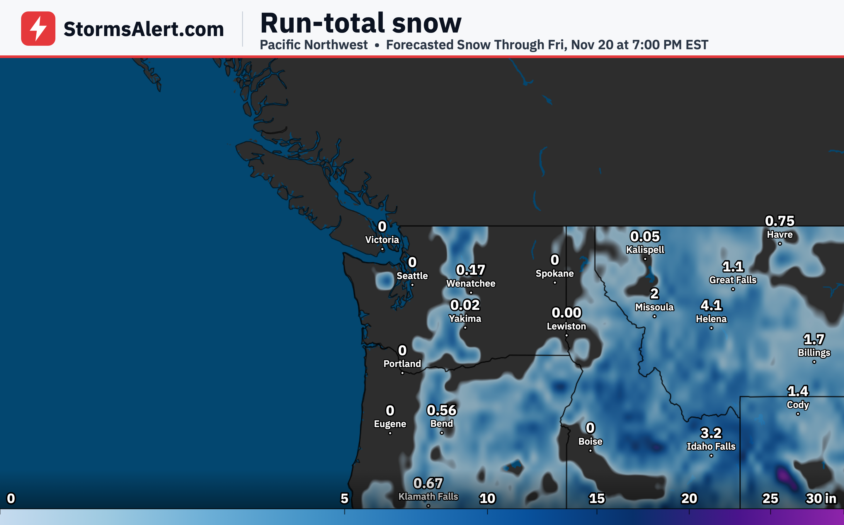
The Pacific system will bring continued active weather and periods of precipitation to the Pacific Northwest through Thursday. Mountain snow is possible in the higher terrain as moisture moves inland.
Intermountain West
Lower elevation rain is possible across the Intermountain West as the frontal system progresses inland. Additional accumulating snow is expected across higher terrain through Thursday.
Rocky Mountains
Moderate to heavy mountain snow will affect higher terrain of the Rockies through Thursday. Gusty winds may create periods of reduced visibility and difficult travel over mountain routes.
Great Basin
Additional snowfall is possible across portions of the Great Basin as the frontal boundary moves farther inland. Rain at lower elevations and snow at higher elevations will continue through Thursday.
Midwest
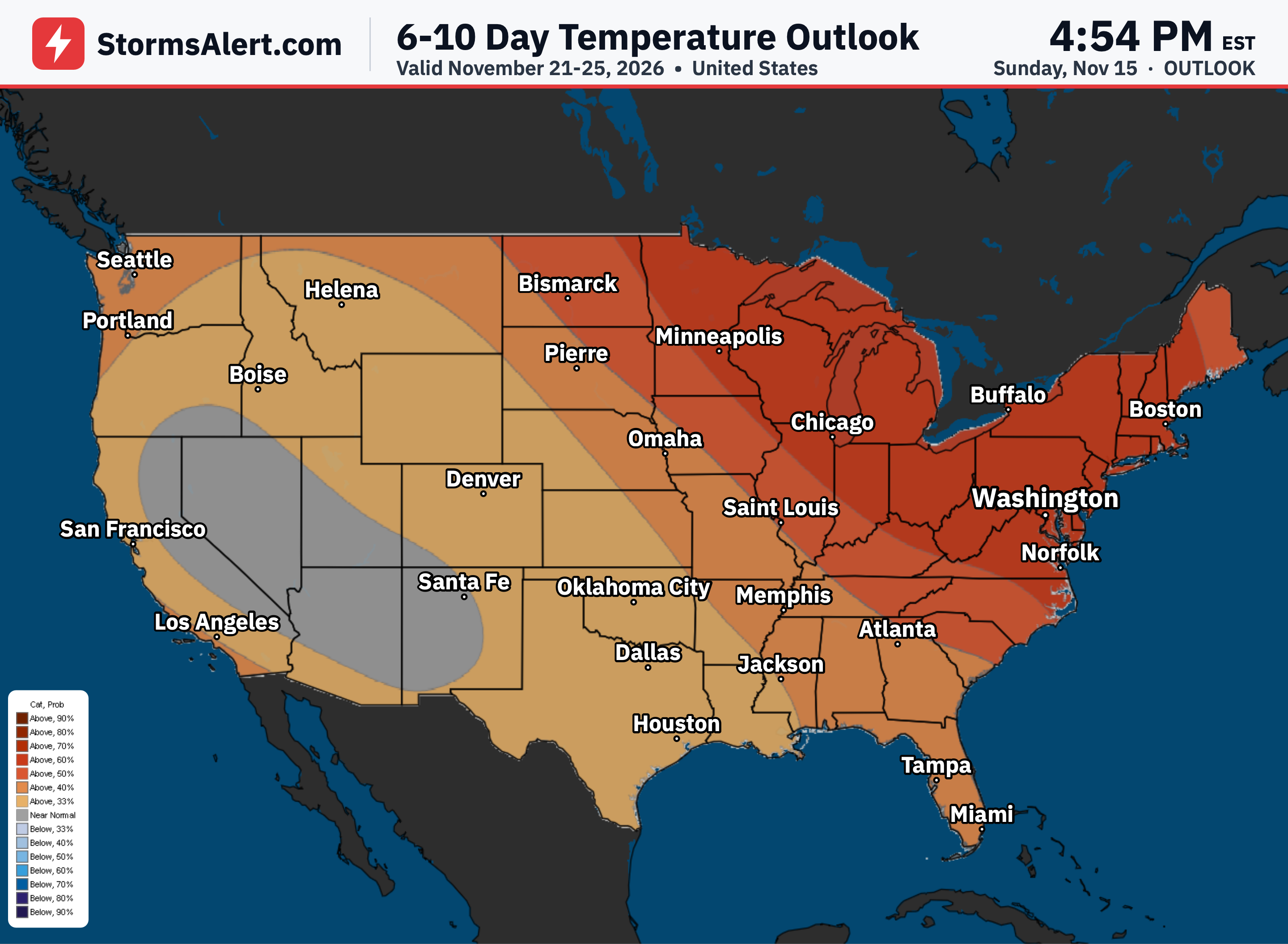
Most of the Midwest should remain quieter through Friday as the main systems stay focused on the West Coast and Florida. Daily plans are unlikely to see major weather disruptions in this region.