Flash Flooding Hits Four Corners Today as Strong Storms Target the Plains Monday
Nationwide
A developing storm system will bring a stretch of unsettled weather across much of the interior West today before strengthening over the Plains on Monday and shifting farther east by Tuesday. Expect a mix of heavy rain, flash flooding concerns, gusty winds, severe thunderstorms in spots, and mountain snow depending on the region and day. Most of the East remains quieter under high pressure.
West Coast
The system begins along the West Coast and moves inland, ushering in widespread unsettled conditions through the interior West today. While the strongest impacts stay farther east, clouds and showers will spread across parts of the region as the disturbance advances.
Southwest
The main focus today is the Great Basin and Four Corners region, where rainfall will increase in coverage and intensity this morning. Storm totals of 2 to 4 inches are possible along upslope terrain, and with soils already wet from recent rains, numerous instances of flash flooding are expected. Residents should watch for rising water on roads and low-lying areas through the day.
Rockies
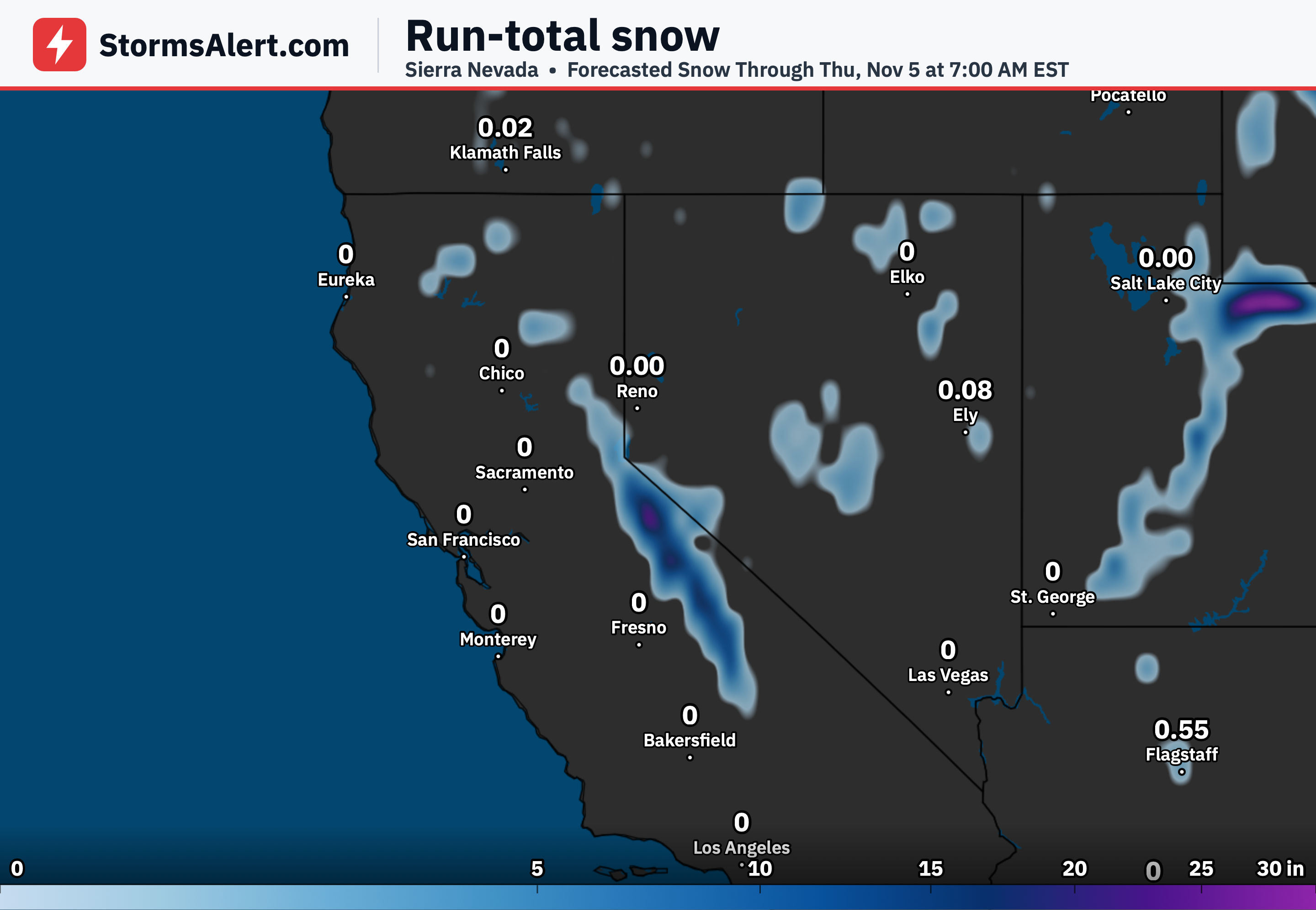
Portions of the Central Rockies will see heavy snow on the back side of the system by Tuesday. The higher elevations can expect accumulating snow that could affect mountain travel and outdoor plans as the colder air arrives behind the main storm.
Plains
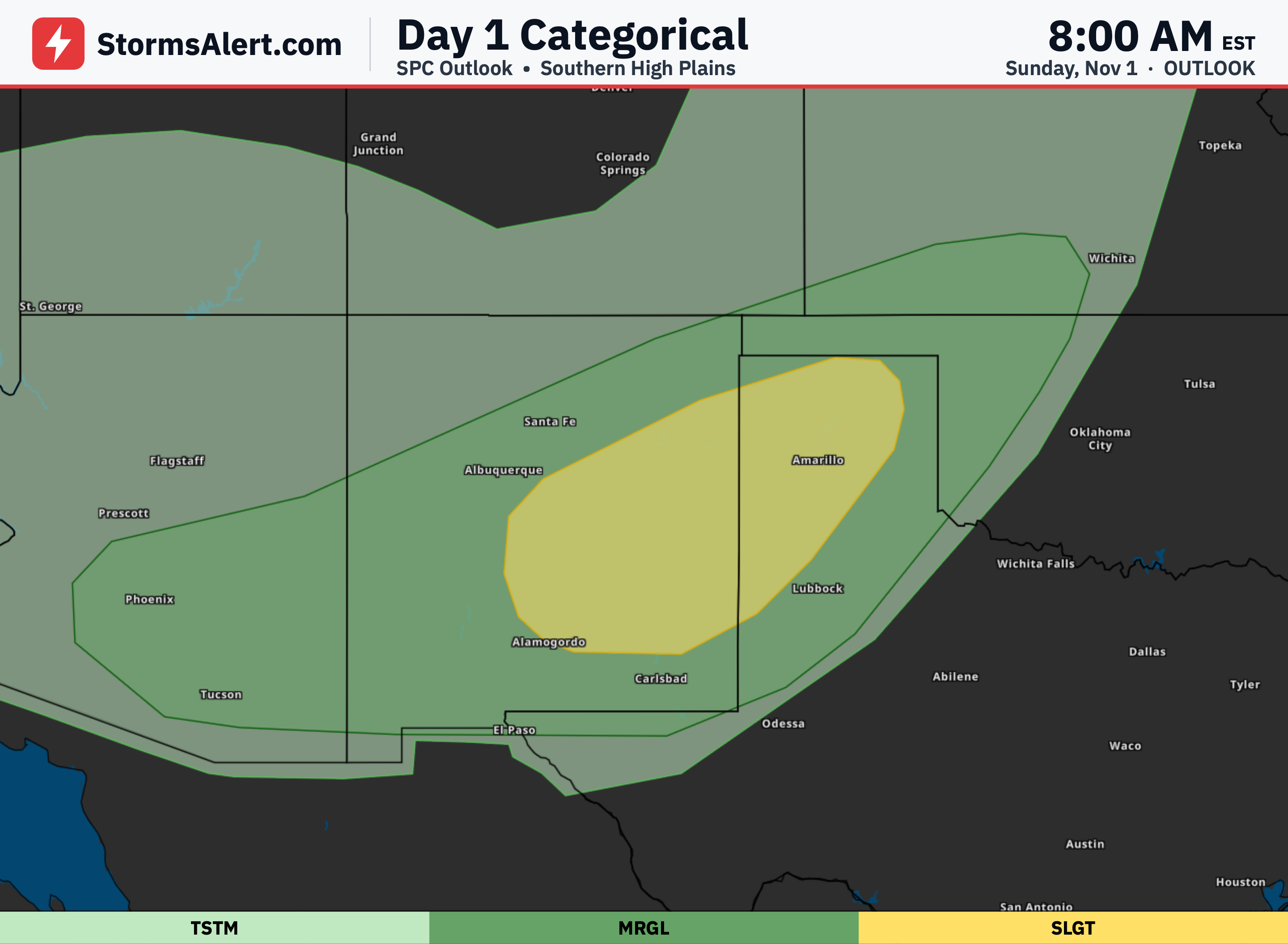
By Monday a strong low pressure system is expected to intensify over the Central High Plains. The Northern Plains will start the work week with increasing winds, showers, and embedded thunderstorms. Farther south across the Central and Southern Plains, thunderstorms could become severe later Monday with locally heavy rainfall also possible. A cold front will then push the unsettled weather eastward into the Mid and Lower Mississippi Valley on Tuesday.
Midwest
The Midwest and Great Lakes region stays mostly quieter at first but will begin to feel the influence of the eastward-moving system later in the period. By Tuesday the cold front should bring a shift toward cooler air and increasing chances for showers as the focus moves out of the Plains.
Southeast
Showers and embedded thunderstorms will continue shifting toward the Florida Panhandle today. Meanwhile, persistent onshore flow will keep a heavy rainfall threat along the east coast of the Florida Peninsula through Monday, with isolated to scattered flash flooding possible in that area. Elsewhere across the Southeast, conditions remain milder than normal under the influence of high pressure farther north.
Northeast
Much of the eastern United States, including the Northeast, will stay dry thanks to a large area of high pressure sliding off the East Coast. New England can expect colder than normal temperatures, while areas farther south remain milder. Travel and outdoor plans should face few weather disruptions through early in the week.