Storm System Spreads Heavy Rain and Gusty Winds Across Central US
Mississippi Valley
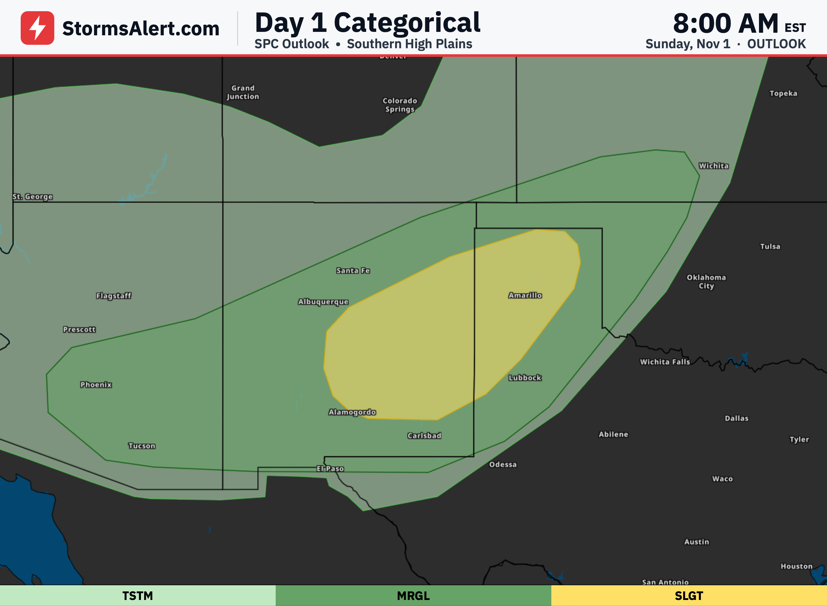
A low pressure system over the central United States is moving steadily eastward, bringing showers and thunderstorms ahead of a trailing cold front. These storms can produce scattered heavy rainfall along with isolated severe weather and gusty winds as they push into the Middle and Lower Mississippi Valley through Wednesday. Travelers and outdoor planners in this region should prepare for wet and potentially disruptive conditions that could affect roads and daily routines over the next couple of days.
Southeast Florida
Heavy rainfall remains a concern along the east coast of Florida today, especially in the southeast. Ongoing onshore flow will keep the threat of additional soaking rains in place for at least another day. Any new rainfall could worsen flooding issues that developed yesterday, so residents should stay aware of local conditions and avoid flooded roadways.
Northern Plains
Steady rain is expected across the Northern Plains and Upper Midwest today as the system progresses. This steady precipitation will help end the recent stretch of drier weather in those areas. People driving or commuting through these northern regions should allow extra time and watch for wet pavement.
Northeast
By Thursday the cold front will reach the Northeast and Mid-Atlantic, bringing an end to the recent dry stretch there. Rain will move into the region as the front arrives, shifting the pattern after several quieter days. Residents can expect a change to wetter conditions that may influence outdoor plans midweek.
North Central California
An approaching Pacific system will bring modest rainfall to North-Central California today. The rain should remain light to moderate and mainly affect areas that can benefit from the moisture. Coastal and inland valley residents may notice the change to damper conditions as the system arrives.
Central Rockies
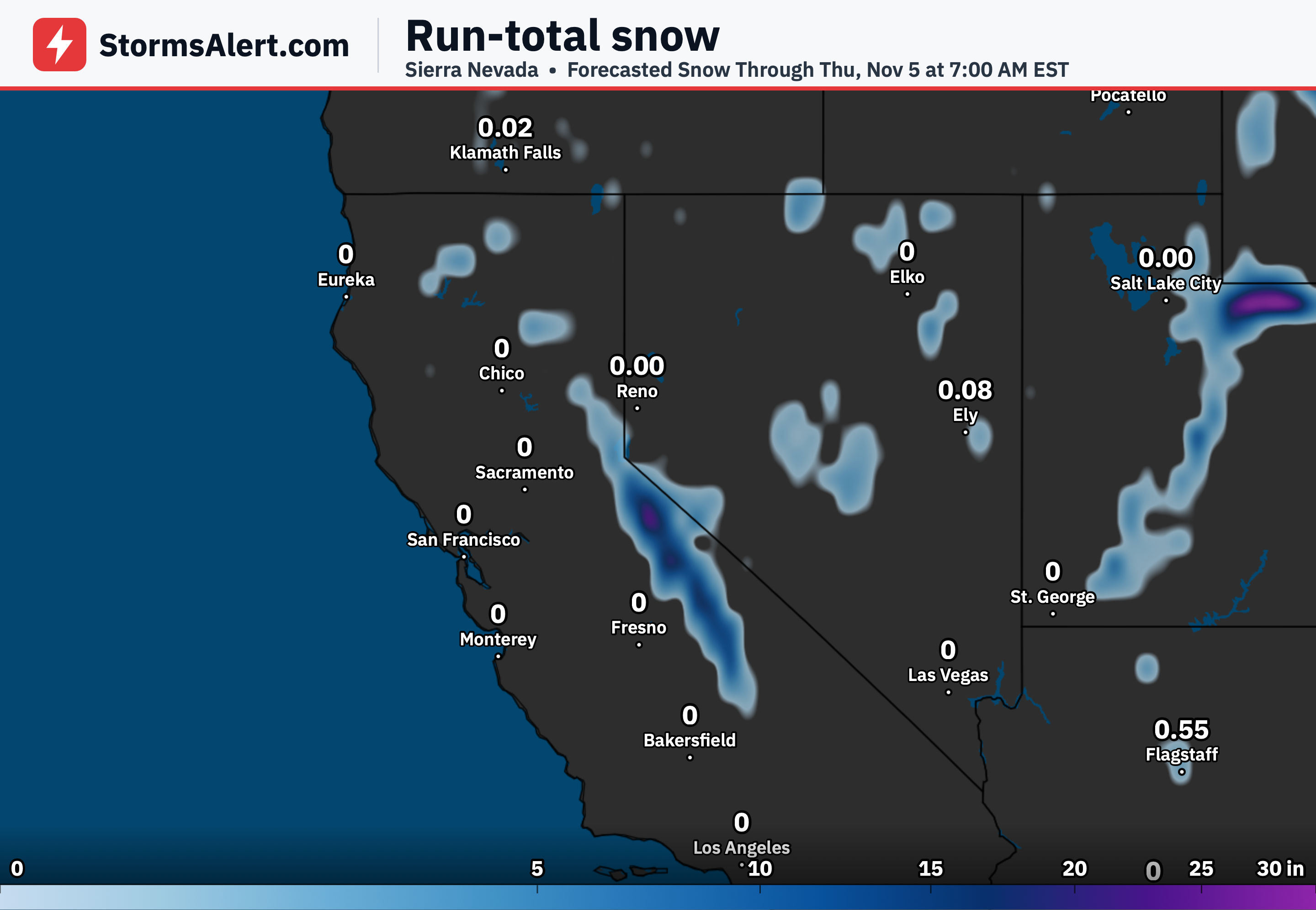
The same western system could produce some mountain snowfall over the Central Rockies on Wednesday and Thursday. Higher elevations are the most likely spots to see the white stuff, while lower areas stay milder. Mountain travelers should check road conditions if heading into the higher terrain later in the week.
High Plains
Cooler than average temperatures will linger across portions of the High Plains and the West through the week. The cooler air will feel more noticeable after any recent milder stretches. Outdoor activities may need an extra layer, especially during mornings and evenings.
Eastern States
Unseasonably mild weather is expected to hold across much of the East this week even as the cold front moves through and gradually weakens. Temperatures should stay milder than typical for early November in many eastern locations. The pleasant conditions offer a comfortable stretch before any sharper changes arrive later.