Isolated Wind Gusts and Brief Tornadoes Possible from East Texas to Mid Mississippi Valley
Mississippi Valley
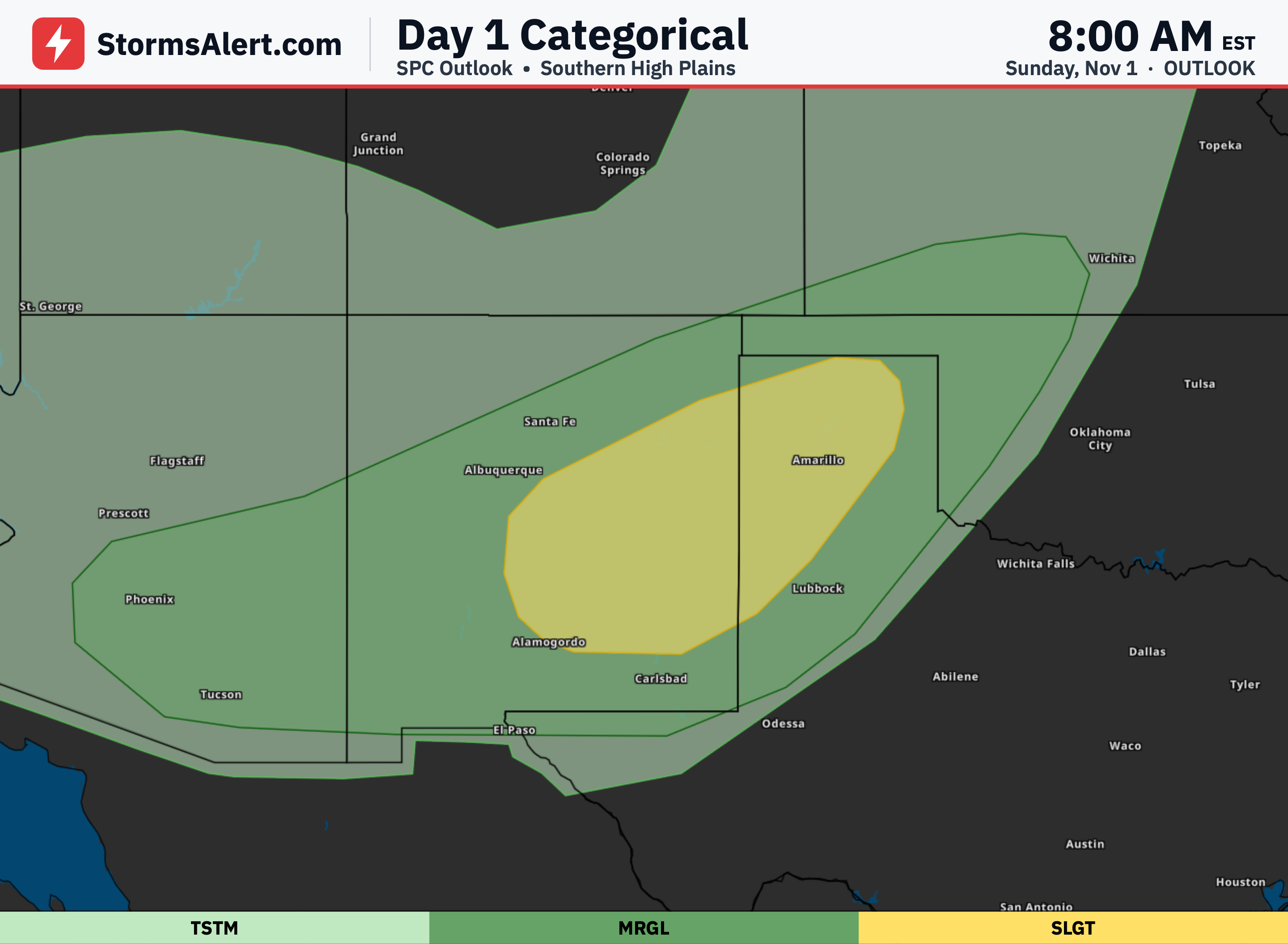
Thunderstorms capable of isolated severe wind gusts and perhaps a brief tornado or two are possible today from East Texas north and east through the Lower and Mid-Mississippi Valleys. The main threat area covers parts of Texas, Louisiana, Arkansas, Mississippi, Missouri, Illinois, Indiana, Iowa, Kentucky and Tennessee. Most storms will stay below severe levels, but a few stronger ones could produce damaging winds or a short-lived tornado.
East Texas
Storms are already ongoing this morning across East Texas and the Sabine Valley within a broad moist area. These storms will continue through the afternoon and into the night as a front pushes east. Isolated stronger storms may produce gusty winds or a brief tornado, especially where any better low-level instability develops.
Lower Mississippi
Across the Lower Mississippi Valley the same pattern supports bands of thunderstorms through the day and overnight. Forcing for rising air will keep showers and storms going even though overall storm strength remains limited. The strongest cells still carry a chance of isolated wind damage or a brief tornado.
Mid Mississippi
Farther north into the Mid-Mississippi Valley strong low-level winds will persist this afternoon and evening. Bands of storms are expected along the front, and the strong winds aloft may be enough to support isolated severe wind gusts or a brief tornado despite limited storm energy. Western Tennessee and western Kentucky remain in the threat area overnight.
Broader Region
Outside the main Marginal Risk zone, general thunderstorms are possible across a wider area that includes Oklahoma, Kansas, Nebraska, Minnesota, Wisconsin, Ohio, Virginia, North Carolina, Georgia, Florida and California. These storms are not expected to become severe. Residents in the primary risk area should stay weather-aware through tonight as storms move through.