Marginal Severe Risk Targets Mississippi Valley Into East Texas
Nationwide
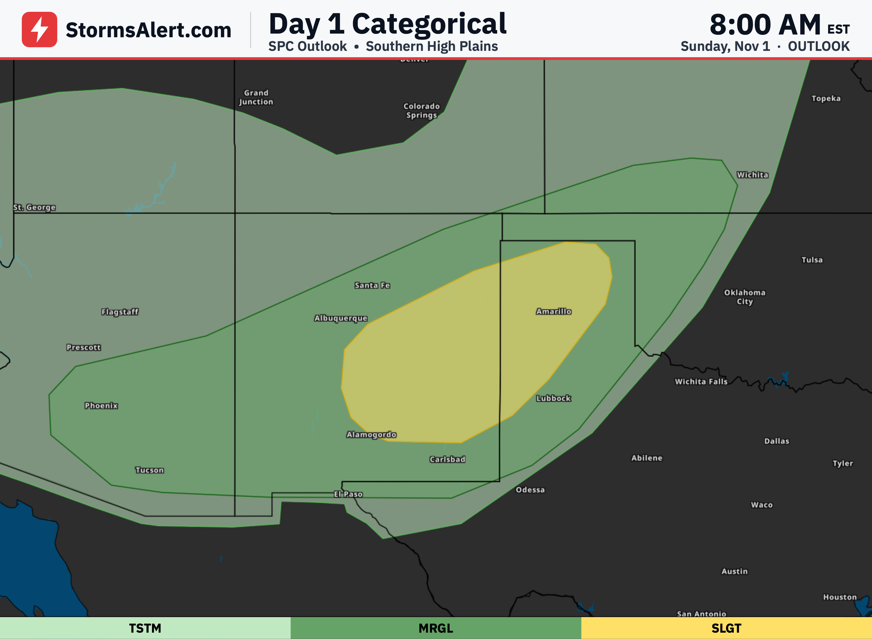
Most of the country will enjoy quiet weather today, but the main focus is a marginal risk of severe thunderstorms stretching from the mid Mississippi River Valley down through the lower valley and into eastern Texas. People in those areas should stay alert for isolated strong wind gusts, and there is a small chance of a brief tornado in a couple of spots. Outside that zone, any storms that form will stay non-severe.
Lower Mississippi Valley
In the lower Mississippi Valley, including eastern Arkansas, northern Louisiana, and nearby parts of Mississippi, Alabama, and eastern Texas, storms may pick up again by mid to late afternoon. Morning activity is expected to fade, but a cold front moving through could spark new development. The strongest of these could bring isolated severe winds and maybe a short-lived tornado, particularly across eastern Arkansas and northern Louisiana.
Mid Mississippi Valley
The mid Mississippi Valley, covering Missouri, Illinois, Iowa, Kentucky, and Tennessee, also sits under that same marginal risk. Strong winds higher up in the atmosphere could help organize any storms that form, yet limited moisture near the ground should keep the severe threat low and brief. A localized wind gust or quick tornado is possible but not likely to affect many places.
Central Midwest
Surrounding states such as Kansas, Oklahoma, Nebraska, Minnesota, Wisconsin, and Indiana have a chance of general thunderstorms today. These may produce some rain and lightning as the system moves through, but no severe weather is expected. Keep an eye on the sky if you are outdoors, though impacts should remain minor.
Southeast and West Coast
Farther out, Florida and Georgia could see general thunderstorms, as could California, mainly during the afternoon hours. No severe storms are in the outlook for those areas. The rest of the United States, from the Northeast to the Rockies and Pacific Northwest, should stay clear of thunderstorm threats altogether.