Oklahoma Faces Severe Storms with Wind Hail and Tornado Threats Through Tonight
Statewide
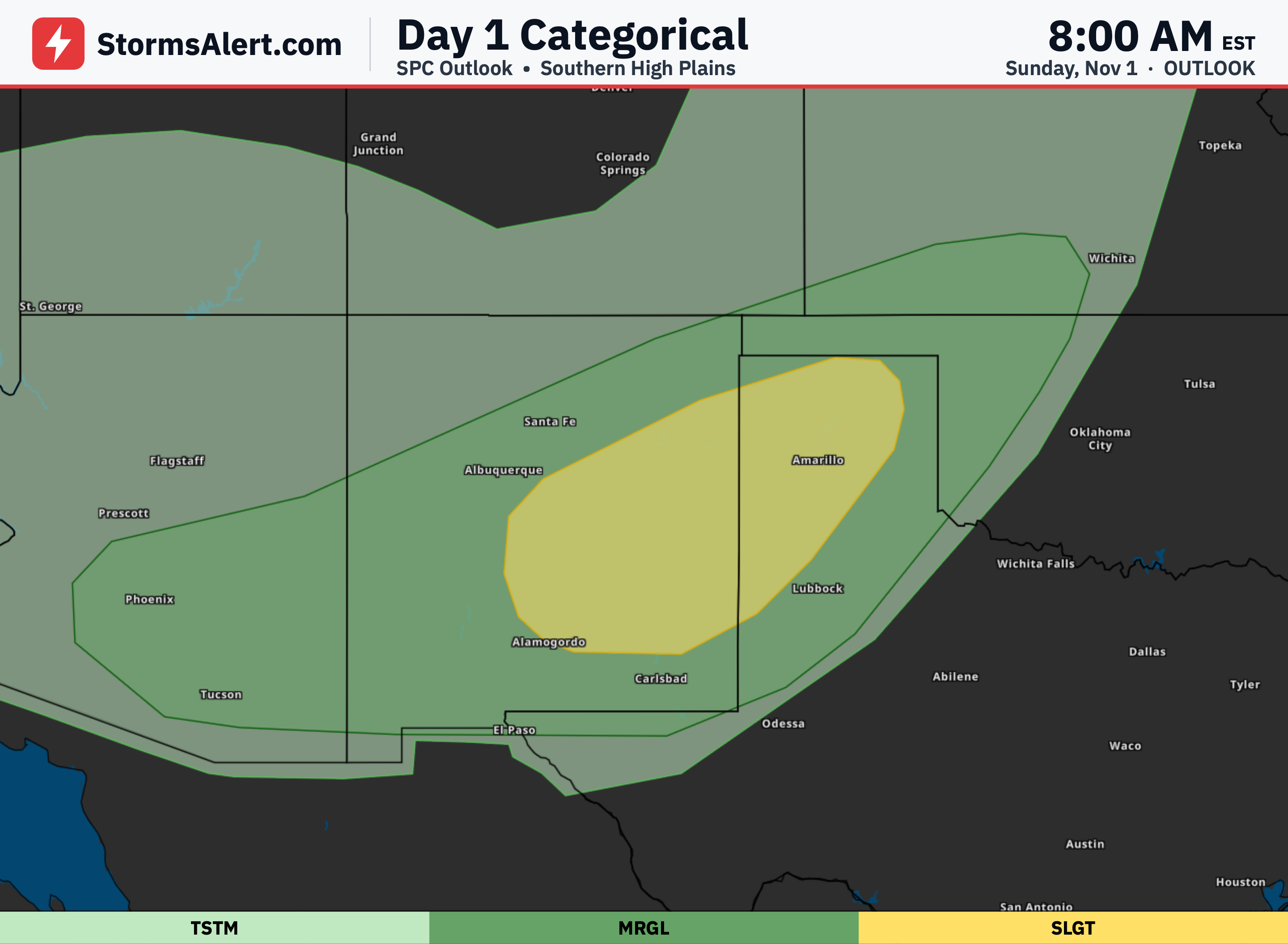
Strong to severe thunderstorms are expected across much of Oklahoma this afternoon through tonight, with the greatest intensity arriving late this afternoon and lasting into the overnight hours. Damaging wind gusts, large hail, and tornadoes are all possible as storms develop and organize while moving generally east-northeastward across the state.
Western Oklahoma
Storms should begin developing later this afternoon across western Oklahoma, where heating and moisture will support stronger updrafts. These storms have the potential to become severe quickly, bringing the main risks of damaging winds, large hail, and tornadoes that could include a few stronger ones during the evening.
Central Oklahoma
An earlier round of storms is already taking shape near the Interstate 35 corridor this afternoon and will move northeast, producing mostly heavy rain and some hail at first. A more organized second wave of storms is then expected to push through central Oklahoma this evening, maintaining the threats of damaging winds and tornadoes as the activity continues eastward overnight.
Eastern Oklahoma
Widespread storms will spread into eastern Oklahoma this evening and continue through the early morning hours of Tuesday, with organized line segments and embedded stronger storms possible. Damaging winds and tornadoes remain a concern even overnight, while locally heavy rainfall could cause flooding problems in low-lying and urban areas before the storms finally clear the southeast part of the state by early Tuesday morning.
Looking Ahead
After the storms move out early Tuesday, quieter and drier weather is expected through the middle of the week. A quick shot of light rain and a few storms could return to parts of central and northern Oklahoma on Thursday, but no severe weather is anticipated, and mostly dry conditions should hold into the weekend.