Limited Snow Favors Colorado High Peaks Wednesday With Little Elsewhere
Central Rockies
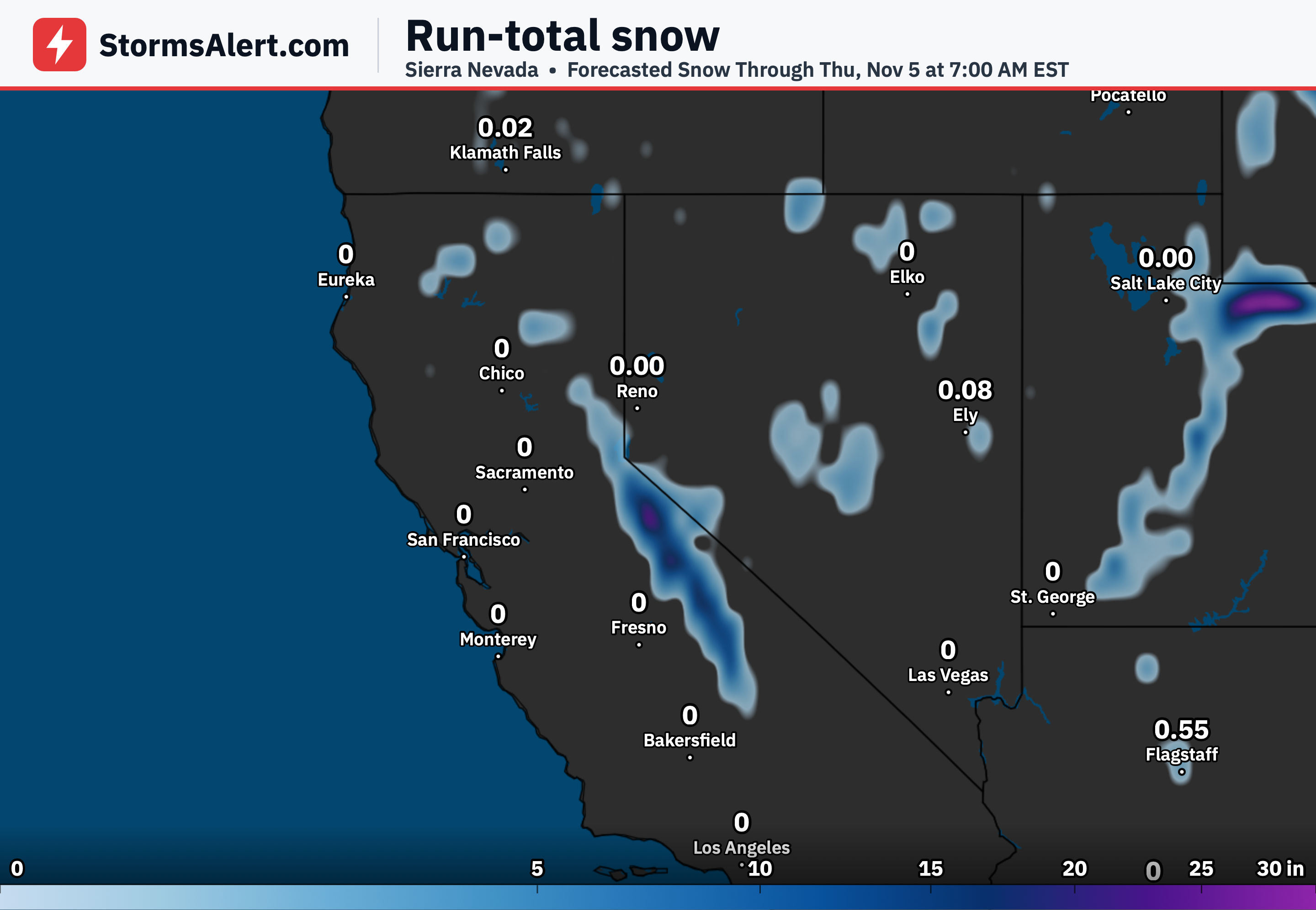
A system moving across the West will bring light precipitation to the Central Rockies on Wednesday. Most of the snow will stay minor across Utah and Colorado mountains, though some heavier showers can develop where lift is strongest over the higher terrain. Travelers in the mountains should prepare for possible slick spots at elevation later Wednesday into Thursday.
Colorado Ranges
The best chance for deeper snow focuses on the Sawatch and Mosquito Ranges into the northern Sangre de Cristo Mountains of Colorado. There, probabilities reach 30 to 60 percent for at least 6 inches, but mainly at elevations above 11000 feet. Lower mountain areas are more likely to see only light accumulations that cause limited disruption.
Utah Mountains
Across the Wasatch and Uinta Mountains of Utah the snowfall is expected to remain minor on Wednesday. Any accumulations should stay light and mostly confined to the higher slopes. Drivers crossing the passes may encounter brief snow showers but widespread heavy snow is not anticipated.
Snow Levels
Snow levels will generally run around 7000 to 8000 feet across the region. In heavier precipitation bands the levels can drop closer to 6000 feet for a time. This means valley and lower foothill locations stay mostly rain or dry while the upper elevations pick up the snow.
Great Basin
As the system tracks across the central Great Basin early Wednesday the precipitation remains mostly light before it reaches the Rockies. Little meaningful snow is expected in the lower elevations of Nevada and western Utah. Most areas outside the highest terrain will see little impact on daily travel.
Nationwide
Outside the Central Rockies the outlook shows little to no significant snow through Friday. Most of the rest of the country stays free of accumulating snowfall during this period. Everyday plans in the Plains, Midwest, South and East should not face winter weather interruptions from this system.
Upper Midwest
Even though a deeper upper system sits across the Upper Midwest, it does not produce notable snow in that region according to the current outlook. Precipitation there remains limited or absent in terms of snow. Residents can expect ordinary midweek conditions without widespread winter travel problems.
Ice Threat
The chance of significant ice is less than 10 percent across the entire contiguous United States through Friday. Icing is not expected to become a major concern anywhere. Roads and walkways should remain free of any widespread ice-related hazards from this pattern.