Flash Flooding Risk Builds in Four Corners Sunday as Plains Storms Intensify Monday
Nationwide
A developing storm system will bring unsettled weather from the West into the central United States through early next week, with heavy rain, mountain snow, gusty winds, and locally strong thunderstorms possible in several areas. The pattern starts with renewed rain across the Southwest this evening and expands eastward, while much of the East stays quieter and drier.
Southwest
Heavy rain is set to return quickly across southern California and the Desert Southwest this evening, then spread into the Four Corners region and Great Basin on Sunday. Rainfall totals of 2 to 4 inches are possible on slopes that face the incoming moisture, raising the chance of flash flooding especially where soils remain wet from recent storms.
Sierra Nevada
Wet snow will develop rapidly tonight across the Sierra Nevada and continue into Sunday as the Pacific moisture arrives. Higher peaks could see more than a foot of snow by late Sunday, which may affect mountain travel and outdoor plans through the weekend.
Rockies
Portions of the central Rockies stand to receive heavy snow on the backside of the system as it organizes and moves inland. The snow will focus mainly on higher elevations early in the week and could make travel more difficult across mountain passes.
Great Plains
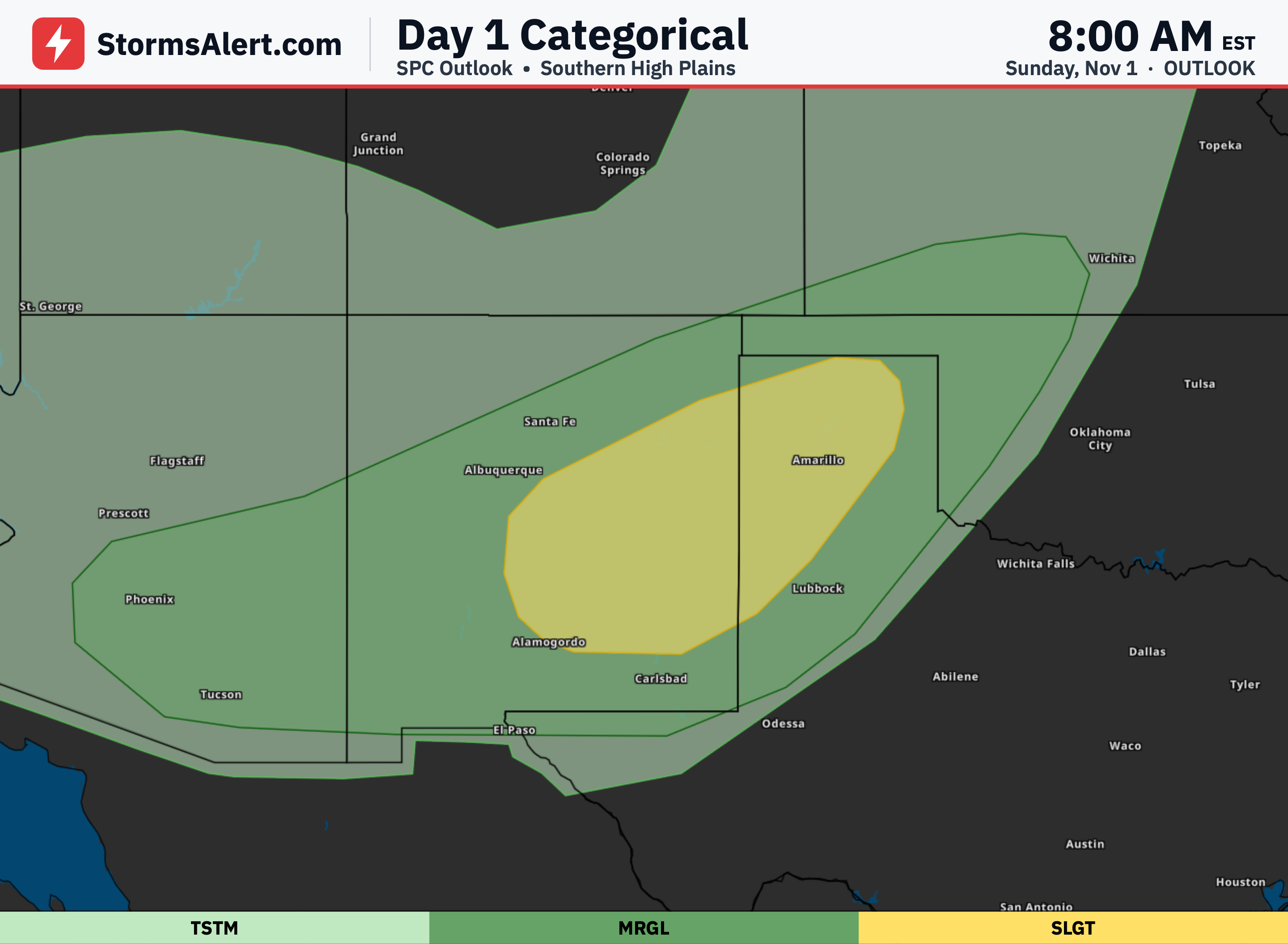
By early Monday a strengthening low-pressure system is expected to develop over the central High Plains, bringing widespread gusty winds and a rapid increase in showers and thunderstorms. The northern Plains will see the first of the wind and rain to start the work week, while the central and southern Plains could experience locally heavy rain and a few strong storms later Monday.
Southeast
Showers and embedded thunderstorms currently over the central Plains will shift east and southeast, reaching the Florida Panhandle on Sunday. Farther south, persistent onshore flow will keep a heavy rainfall threat along the east coast of the Florida Peninsula through Monday, with isolated flash flooding possible in the heaviest downpours.
Midwest
Much of the Midwest and Great Lakes region will remain on the quieter side of the pattern through early next week, with mainly dry conditions expected as the main storm track stays farther west and south. Temperatures will trend near or slightly below seasonal averages in the north while staying milder farther south.
Northeast
A large high-pressure system sliding off the East Coast will keep most of the Northeast dry through the period. New England can expect colder-than-normal temperatures, while areas farther south across the Mid-Atlantic will stay milder than average under the same quiet pattern.