Heavy Rain Waves Target Southwest and Gulf Coast This Weekend
Nationwide
An increasingly wet pattern will settle over the Southwest and Gulf Coast states this weekend while much of the eastern United States stays dry. Two separate waves of moisture will bring heavy rain to the Southwest, and a corridor of moderate to heavy rain will shift eastward across the southern Plains toward the Gulf. Higher mountain peaks in the West could see over a foot of snow by late Sunday.
Southern California
The second wave of rain is expected to reach southern California on Saturday evening. This system will deliver the start of more widespread heavy rainfall across the region by Halloween night. Residents should prepare for wet conditions that could affect evening travel and outdoor plans.
Four Corners
The first wave of heavy rainfall is already moving through the Four Corners region and will continue through Saturday morning. A lull is expected later Saturday before the second wave expands into the area by Sunday morning. Locally heavy amounts are possible, especially along the Mogollon Rim in Arizona.
Great Basin
Rainfall from the second wave will expand northward into the Great Basin on Sunday morning. Higher elevations across this region will also see expanding snowfall late Saturday and Sunday. The combination of rain at lower levels and snow in the peaks could create mixed conditions for mountain travelers.
Sierra Nevada
Snowfall will expand over the Sierra late Saturday and continue through Sunday as the systems interact. Over a foot of snow is possible in the peaks of the terrain by late Sunday. This will mainly affect the highest elevations, where travel over mountain passes could become more difficult.
Southern Plains
A corridor of moderate rainfall currently across the southern Plains will gradually shift eastward this weekend. The rain is not expected to be as intense as the heavier amounts farther west or along the Gulf Coast, but it will still bring wet conditions as it moves through the region.
Gulf Coast
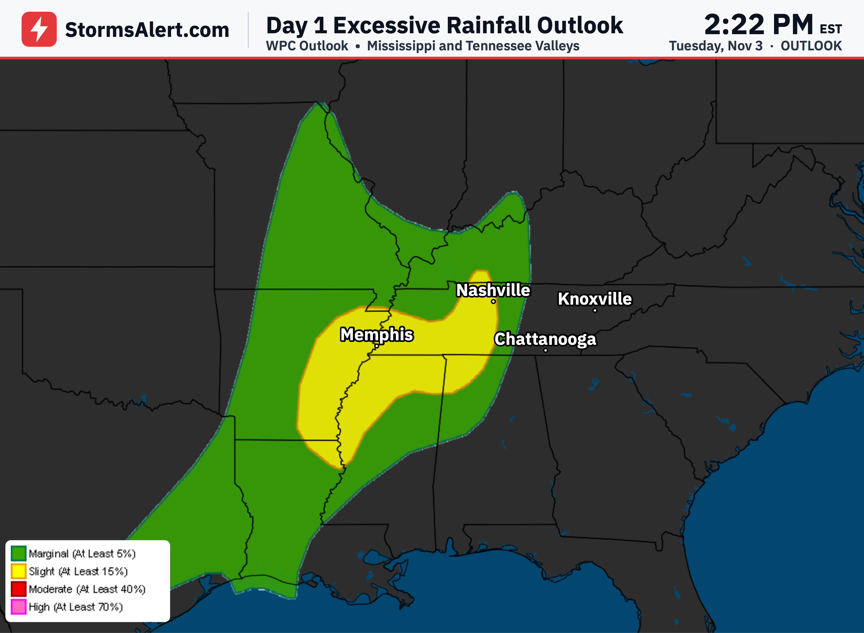
Heavier showers and thunderstorms will bring the greatest threat of heavy rainfall near the Gulf Coast this weekend. These storms will continue shifting slowly eastward, reaching the Florida Panhandle and northward up the Mississippi Valley by Sunday morning. Isolated flash flooding remains possible in South Florida from lingering thunderstorms.
Eastern States
A high pressure system will keep much of the eastern United States dry into the weekend. New England can expect colder than normal temperatures, while areas farther south will stay milder than normal. Overall, the East should see quiet weather with little impact on daily plans.