Longer Range: Slow-Moving Storm System Brings Heavy Rain Across Central US Next Week
Nationwide
A slowly progressive storm system will bring widespread showers and thunderstorms across the central United States early next week, then push farther east later in the week. Confidence is higher for the early part of the period when the main system moves into the central states, but details become less certain as it continues eastward toward the end of the week. Behind the system, cooler and drier air will spread into the central regions.
Central Plains
Early next week the system will strengthen over the Plains and encourage the development of showers and thunderstorms from the Rockies into the Mississippi Valley. Locally heavy rainfall is possible where moisture is deepest. Higher elevations of the Rockies are also likely to see snow, while stronger winds may develop across the High Plains through Tuesday.
Mississippi Valley
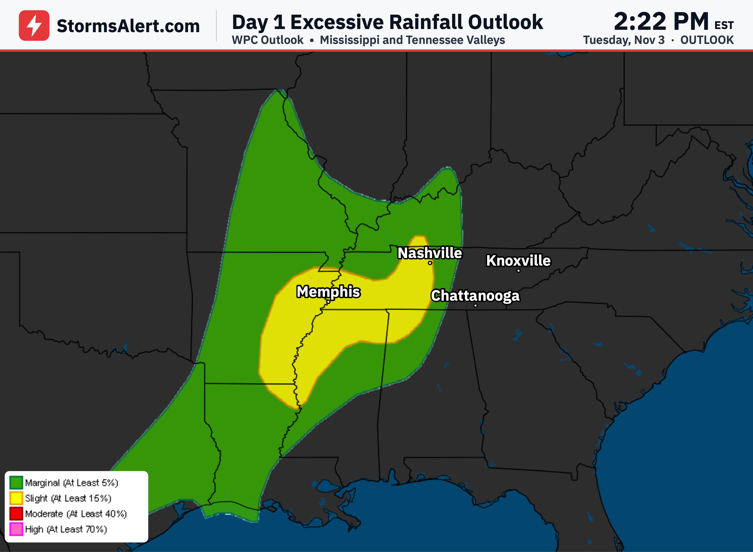
Portions of the Mississippi Valley carry a chance of excessive rainfall on Monday as the system moves through. Widespread showers and thunderstorms are expected, and some areas could see enough rain to create runoff concerns. Travel may become slower in heavier downpours during this period.
Southeast
Across the Southeast the combination of moisture from the Gulf and the eastward-moving front should support additional rounds of showers and thunderstorms. Periods of locally heavy rainfall are possible as the system progresses. Conditions will gradually improve once cooler and drier air arrives behind the front.
Florida
Early next week a frontal boundary and residual energy east of Florida will bring wrapping showers and thunderstorms. Some of these could produce heavy downpours, especially along the eastern Florida coast. Isolated flooding concerns remain possible in the heavier bands through the early part of the week.
Great Lakes Region
By Tuesday the front and associated rain and thunderstorms are expected to reach portions of the Great Lakes and Ohio Valley. Timing remains somewhat uncertain as the system continues its slow eastward progress. Once the front passes, cooler and drier air should follow into these areas.
Northeast
By midweek the same system may bring showers and thunderstorms into the Mid-Atlantic and Northeast, though the exact timing is less certain. Models show more disagreement on how quickly the system will arrive and how it will interact with other features later in the week. Residents should stay updated as the forecast continues to refine.
West Coast
By mid to late next week a new disturbance from the Pacific will approach the West Coast. This will raise the chance of showers across the Pacific Northwest and portions of northern California. Higher elevations in those areas could also see some snow as the system arrives.