Northwest Rain and Mountain Snow Through Wednesday; Flood Risk Lingers in Florida
Northwest and northern Rockies
A frontal system will bring rain and high-elevation snow to the Northwest and northern Rockies through Wednesday, while a slow-moving boundary keeps showers and thunderstorms active across parts of Florida with a threat of flash flooding. Elsewhere, activity stays more scattered or limited as the week gets underway.
West Coast and Pacific Northwest
Along the West Coast and Pacific Northwest, periods of rain are expected through Wednesday as cooler air moves in behind the front. Higher elevations will see snow, especially in the mountains of the region, with the wet weather continuing as systems progress eastward.
Rockies and Intermountain West
Across the Rockies and Intermountain West, rain and high-elevation snow will continue along the frontal boundary through Wednesday. Cooler air filtering in behind the front will support the mountain snow, while lower elevations see mostly rain during this stretch.
Plains
In the Plains, rainfall is expected along the frontal boundary from the northern and central areas into the Upper Mississippi Valley through Wednesday. Wet snow may develop across parts of the northern Plains through Tuesday morning. Farther south across the southern High Plains, scattered showers and thunderstorms are favored through Tuesday.
Midwest and Great Lakes region
The Midwest and Great Lakes region will see additional rainfall focused mainly across portions of the Upper Mississippi Valley through Wednesday as low pressure tracks in that direction. Impacts should remain modest outside of any localized heavier downpours.
Southeast
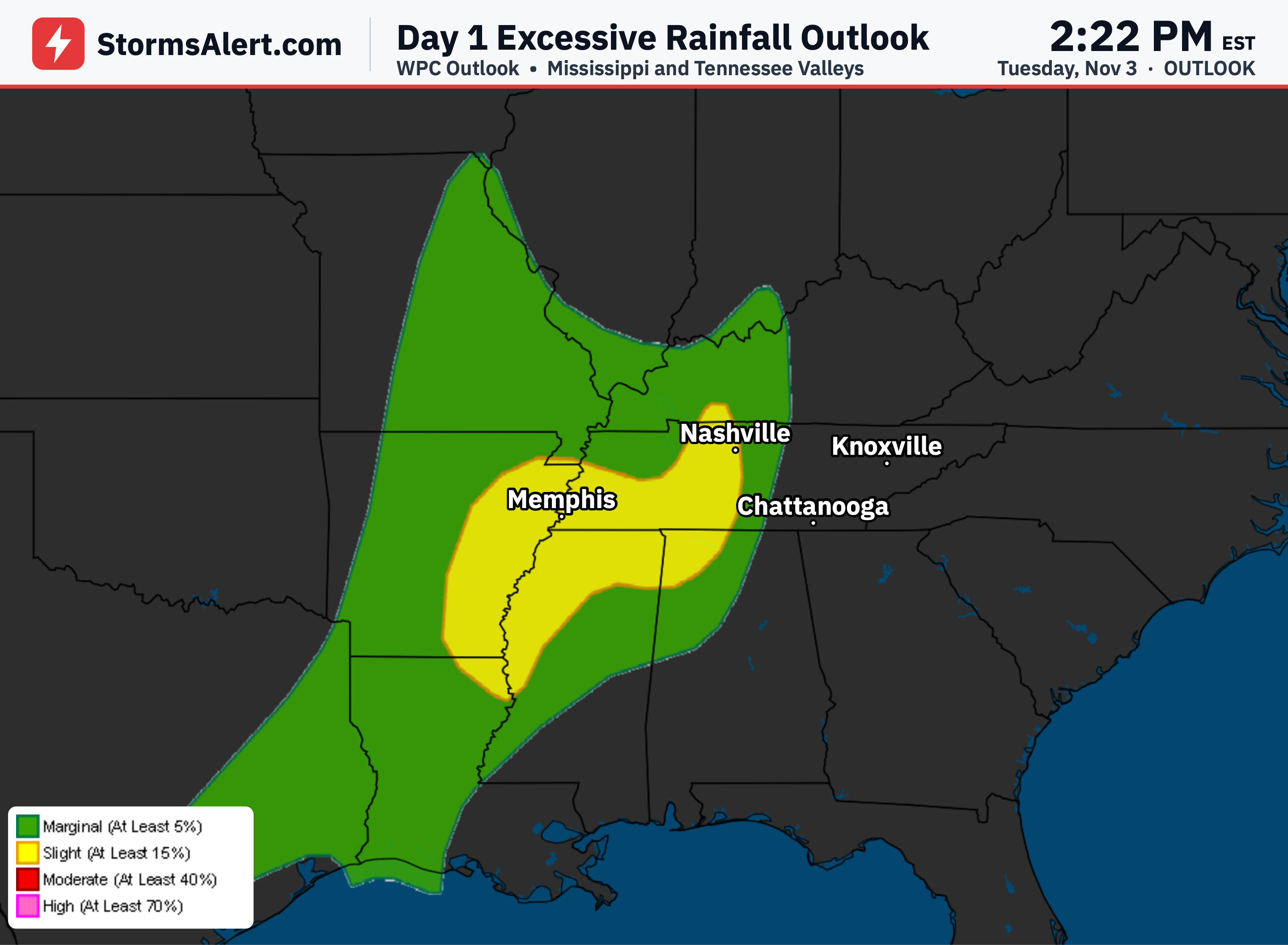
In the Southeast, moisture streaming onshore will support showers and thunderstorms along the Florida east coast and across the Florida Keys. High rainfall rates raise the chance of flash flooding across east-central and southeast Florida through Wednesday. Periods of showers and thunderstorms are also favored across eastern Texas and portions of the western Gulf Coast as moisture continues to move inland.
Southwest
The Southwest is expected to stay largely outside the main storm tracks during this period, with limited activity beyond any residual effects near the southern High Plains. Daily plans should face little weather interference in most of this region.
Northeast
The Northeast remains quiet in the outlook, with no significant rain, snow, or storms highlighted. Overall, travelers in the Northwest mountains and those in flood-prone parts of Florida should allow extra time and stay alert to changing conditions through Wednesday, while most other areas can expect milder disruptions.