Prolonged Rains and Flood Threats Spread Across Arizona Through Monday
Statewide
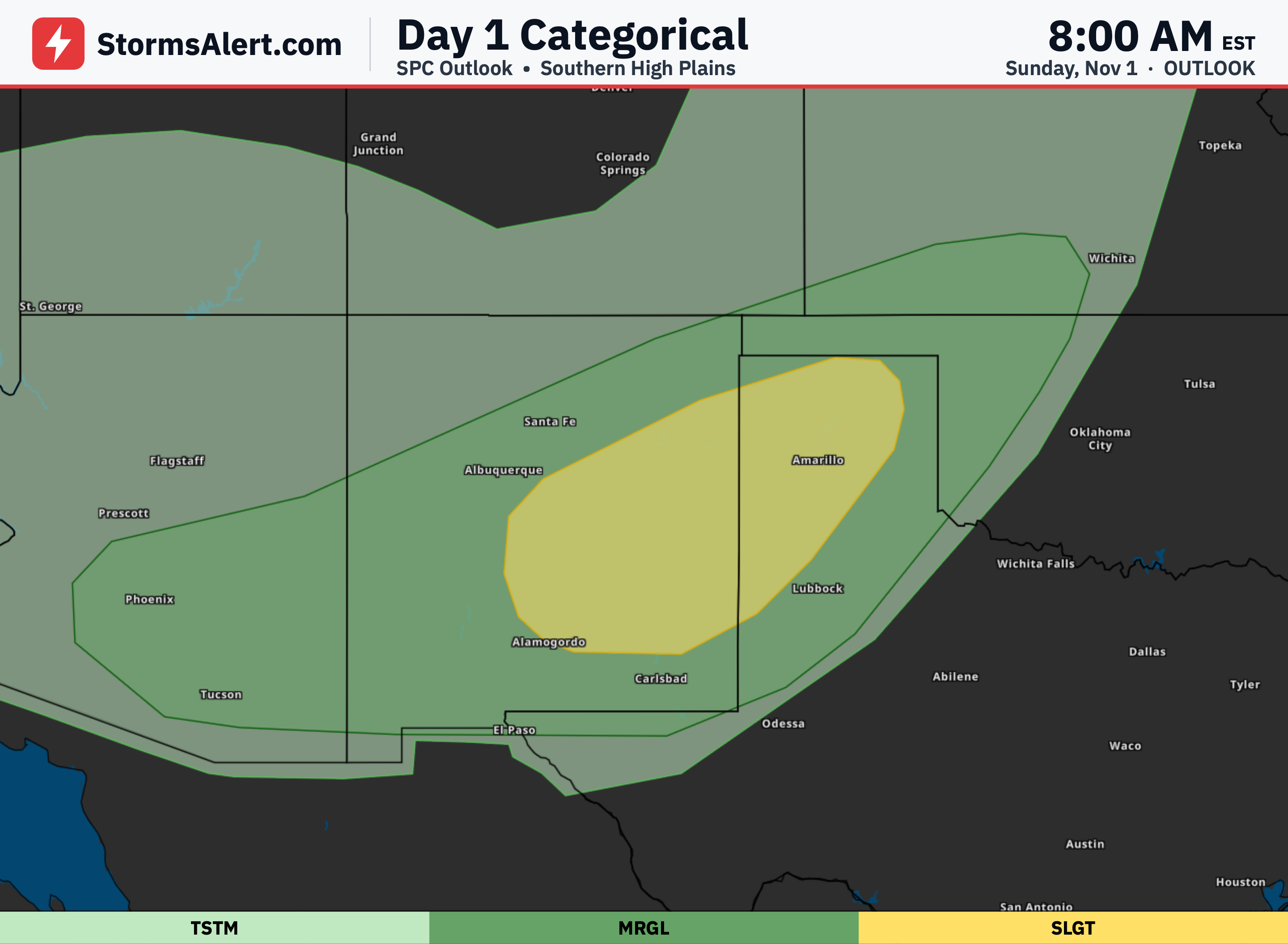
An atmospheric river will bring widespread rain to Arizona starting this evening and lasting through early Monday. Already wet soils mean much of the rain will run off quickly, raising the risk of flooding in washes, creeks, streams and rivers. A Flood Watch covers large parts of the state from late tonight through Sunday night. Rain amounts will be highest in the higher terrain, where several inches are possible, while lower elevations generally see less. Isolated strong storms are possible Sunday afternoon and evening, mainly with damaging wind gusts.
Northern Arizona
Across northern Arizona, showers become more widespread tonight and continue into Sunday with periods of moderate to heavy rain. The heaviest totals are expected along and south of the Mogollon Rim, where 3 to 6 inches are possible in spots. Gusty winds of 30 to 40 mph may develop late tonight through Sunday, especially east of the Rim, and saturated ground could leave some trees vulnerable. As the system moves out Monday, a few lingering showers are possible in the east, and higher elevations such as the San Francisco Peaks and Kaibab Plateau could see a brief changeover to snow.
Central Arizona
In the Phoenix area and surrounding lower elevations of Maricopa and Pinal counties, rain is expected to begin this evening and continue through Sunday night. Total amounts could range from about three-quarters of an inch to 2.5 inches, with the higher end more likely near the foothills. Flooding concerns remain elevated because soils are already saturated, so even moderate totals may fill or overflow washes and smaller waterways. Any stronger storms that form Sunday would most likely produce gusty winds rather than large hail.
Southeast Arizona
Southeast Arizona, including the Tucson area and surrounding mountains, will see rain increase this evening and become widespread Sunday into Monday morning. Valley locations can expect roughly half an inch to 1.75 inches, while the higher terrain may receive 1 to 3 inches or more. The main concern is heavy downpours that could cause flash flooding in washes and rises on larger creeks and rivers. Isolated thunderstorms Sunday may also produce strong wind gusts before activity decreases from west to east Sunday night into Monday.
Statewide Outlook
Rain will taper off Monday as the system departs, leaving drier conditions for most of the work week. Temperatures will slowly warm closer to seasonal levels by midweek, though daytime highs are still expected to stay a few degrees below normal. Another weak system may approach late in the week, but confidence is low and any rain chances appear limited mostly to the higher terrain of eastern Arizona. Overall, a quieter and more settled pattern is favored after the current wet period ends.