Storm System Brings Rain and Mountain Snow from West into Central US Next Week
Nationwide
A developing storm system will bring precipitation across the West through Monday and then into the central United States by midweek. Showers and thunderstorms will spread eastward with the system, while cooler and drier air follows behind it across parts of the central states. Forecast confidence is generally good on the broad pattern, though the exact timing and strength of the system still have some differences among the computer models.
West Coast
Widespread precipitation is expected across portions of California as Pacific moisture increases. Heavier rainfall is possible in favored mountain areas where the moisture is strongest. The system will keep conditions wet through Monday before the main focus shifts farther inland.
Intermountain West
Rain and higher-elevation snow will affect the Intermountain West as the system moves through. Snow is likely across the higher elevations of the Rockies into Monday, with snow levels depending on how deep the cooler air settles. Travel through mountain passes could slow where snow accumulates.
Southwest
The Southwest will see increasing precipitation as moisture streams inland. Heavier rain is possible in some favored terrain areas on Sunday. Overall amounts will vary, but the wetter pattern continues the recent active stretch for the region.
Central Plains
The storm system will strengthen over the Plains and produce showers and thunderstorms across much of the central United States on Monday. Locally heavy rainfall is possible where moisture is deepest, and gusty winds may accompany the system. Cooler and drier air will begin to spread in behind the front later in the period.
Mississippi Valley
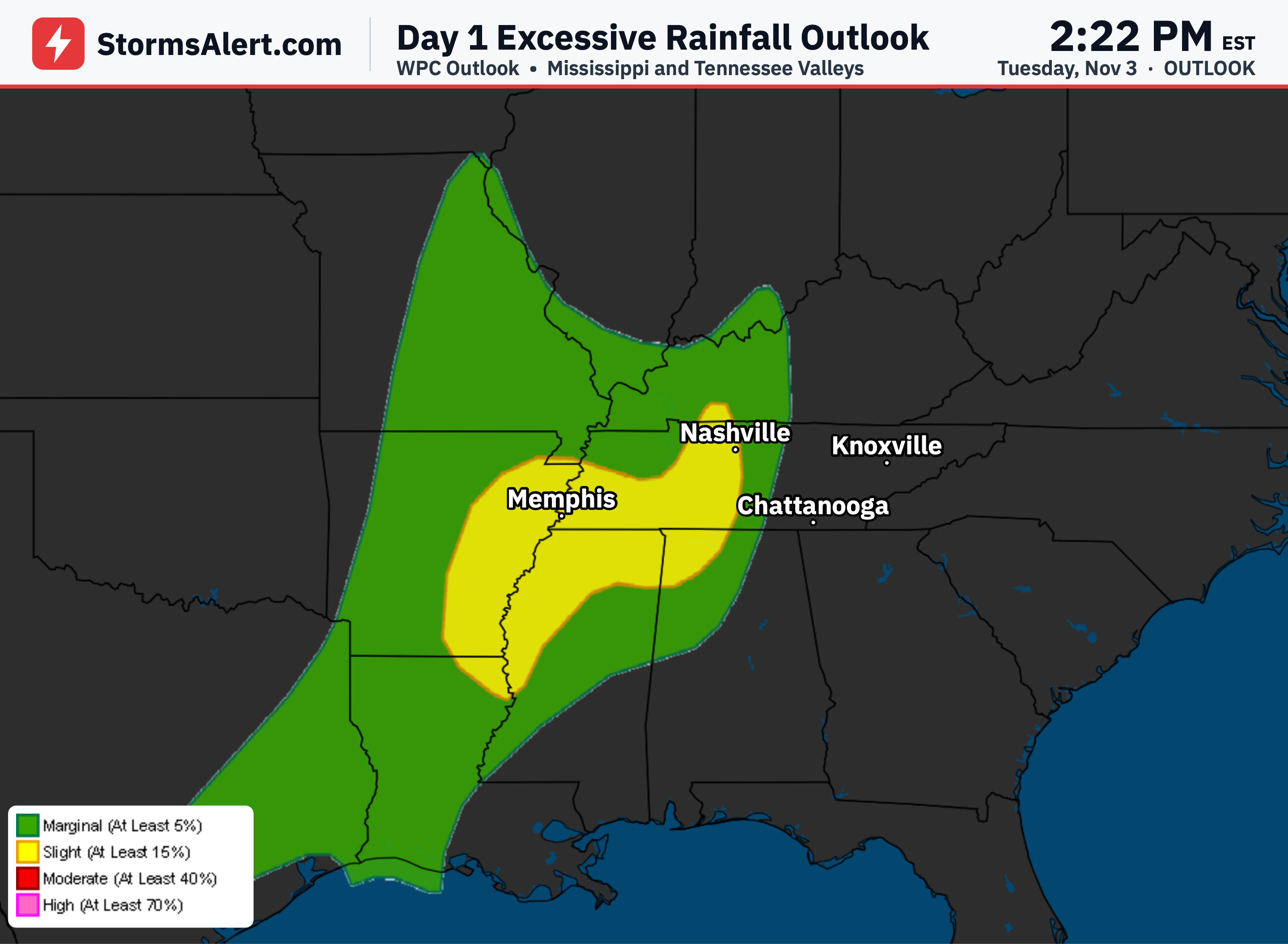
Locally heavy rainfall may occur along parts of the Mississippi Valley on Monday as deep moisture overlaps with the advancing system. Showers and thunderstorms will be widespread as the front moves through. The main precipitation axis will continue shifting eastward through midweek.
Southeast
Additional rounds of showers and thunderstorms are expected from the lower Mississippi Valley into the Southeast and Ohio Valley early in the period. Periods of heavier rain are possible, especially near the eastern Florida coast Sunday into Monday. The main frontal system will push farther east by Wednesday.
Eastern States
Eastern states should remain relatively mild ahead of the advancing front. Widespread showers and thunderstorms will spread eastward as the system moves toward the eastern United States through Wednesday. Behind the system, cooler and drier air will gradually settle into the central states while the East stays milder a bit longer.