Colorado High Peaks Face Heavy Snow Wednesday Night Into Thursday
Nationwide
The main snow threat through early Saturday centers on the Central Rockies, where a system will bring the heaviest accumulations to higher mountain elevations Wednesday evening into early Thursday. Elsewhere across the country, little to no snow is expected, and the chance of significant ice remains very low nationwide. Travel impacts should stay mostly limited to mountain passes in Colorado.
Central Rockies
Snowfall will increase across the Central Rockies starting Wednesday afternoon as moisture moves in. The heaviest snow is expected to fall early Wednesday evening through the overnight hours and then taper off quickly before sunrise Thursday. Higher elevations stand to see the greatest totals, with lighter amounts at lower elevations.
Sawatch Range
In the Sawatch Range, snowfall rates above one inch per hour are likely Wednesday evening, and rates could briefly exceed two inches per hour at times. Elevations above 10,000 feet have a moderate to high chance of more than eight inches, while the highest peaks hold a chance of localized totals over twelve inches.
Mosquito Range
The Mosquito Range is also in line for similar heavy snow Wednesday night. Rates above one inch per hour look likely, with a chance of even heavier bursts. Totals above eight inches are favored above 10,000 feet, and the peaks could see more than twelve inches in spots before the snow ends early Thursday.
Front Range Peaks
Higher peaks along the Colorado Front Range will share in the heavier snow Wednesday evening into the overnight. Rates above one inch per hour are expected in these elevated areas, helping produce totals over eight inches above 11,000 feet. The snow should wrap up before sunrise Thursday.
Mountain Passes
Nearby mountain passes in central Colorado could see locally hazardous travel conditions from the heavy snow and minor impacts. Drivers heading through these areas Wednesday night and early Thursday should allow extra time and be prepared for reduced visibility and slick roads. Conditions improve quickly after sunrise Thursday.
Lower Elevations
Lower elevations across Colorado and the surrounding High Plains will see far less snow, if any, as the heaviest amounts stay confined to the higher peaks. Most valley locations can expect mainly colder temperatures with little disruption to daily plans through Thursday.
Other Regions
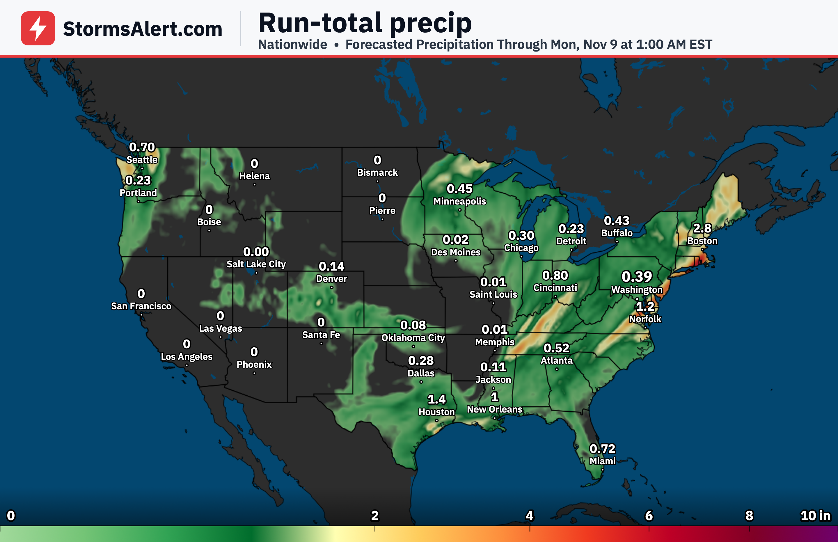
Across the Great Lakes, Northeast, Plains, and the rest of the country, little to no snow is anticipated through early Saturday. The focus remains solely on the Colorado mountains, so most other areas can expect dry or rainy conditions without winter weather concerns.