Rain Moves Into Eastern States as Mountain Snow Builds in the Rockies
Nationwide
Rain is spreading into the eastern half of the country through Friday as a cold front pushes east. Showers and thunderstorms will focus along the front for the next couple of days, while steadier rain wraps into the Upper Midwest and Great Lakes. Farther west, mountain snow increases in the Central Rockies and a weaker system brings light rain and snow to the Northwest, with cooler air settling over the Heartland.
Southeast
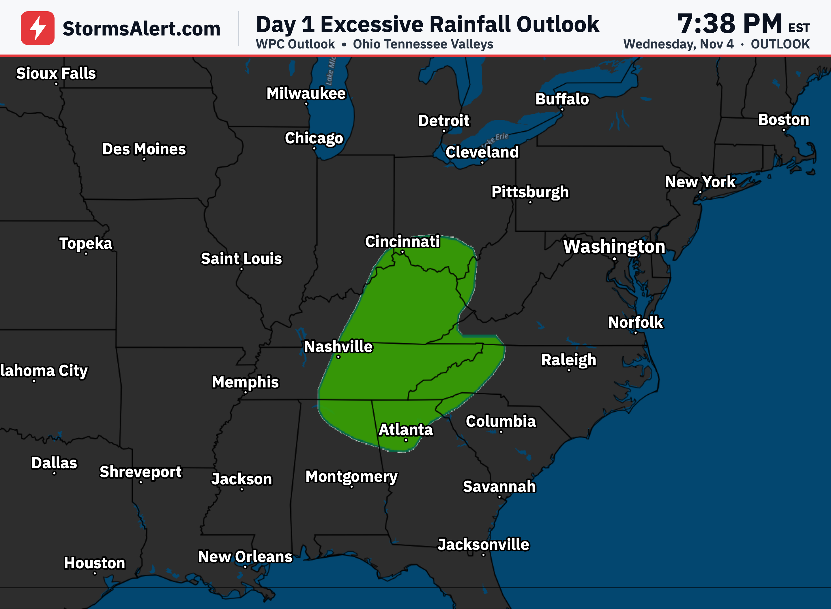
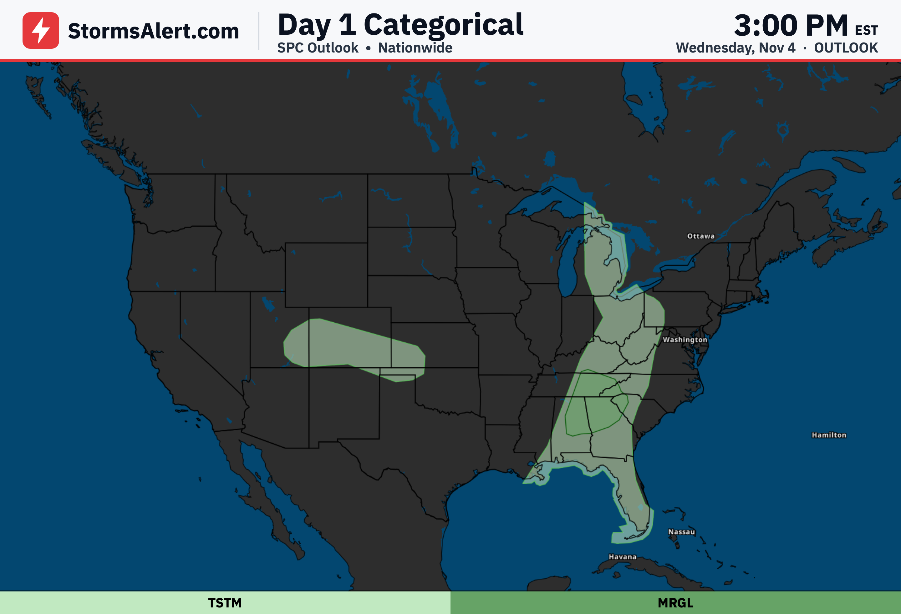
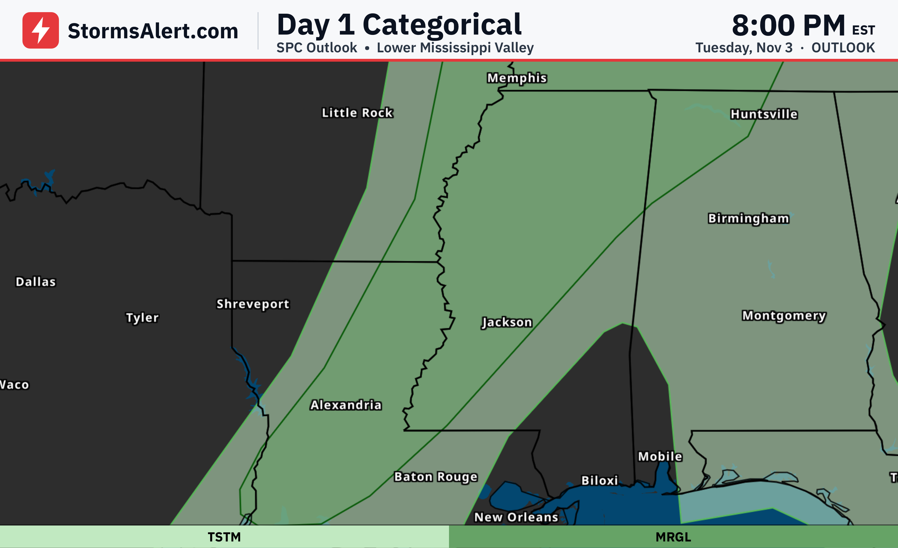
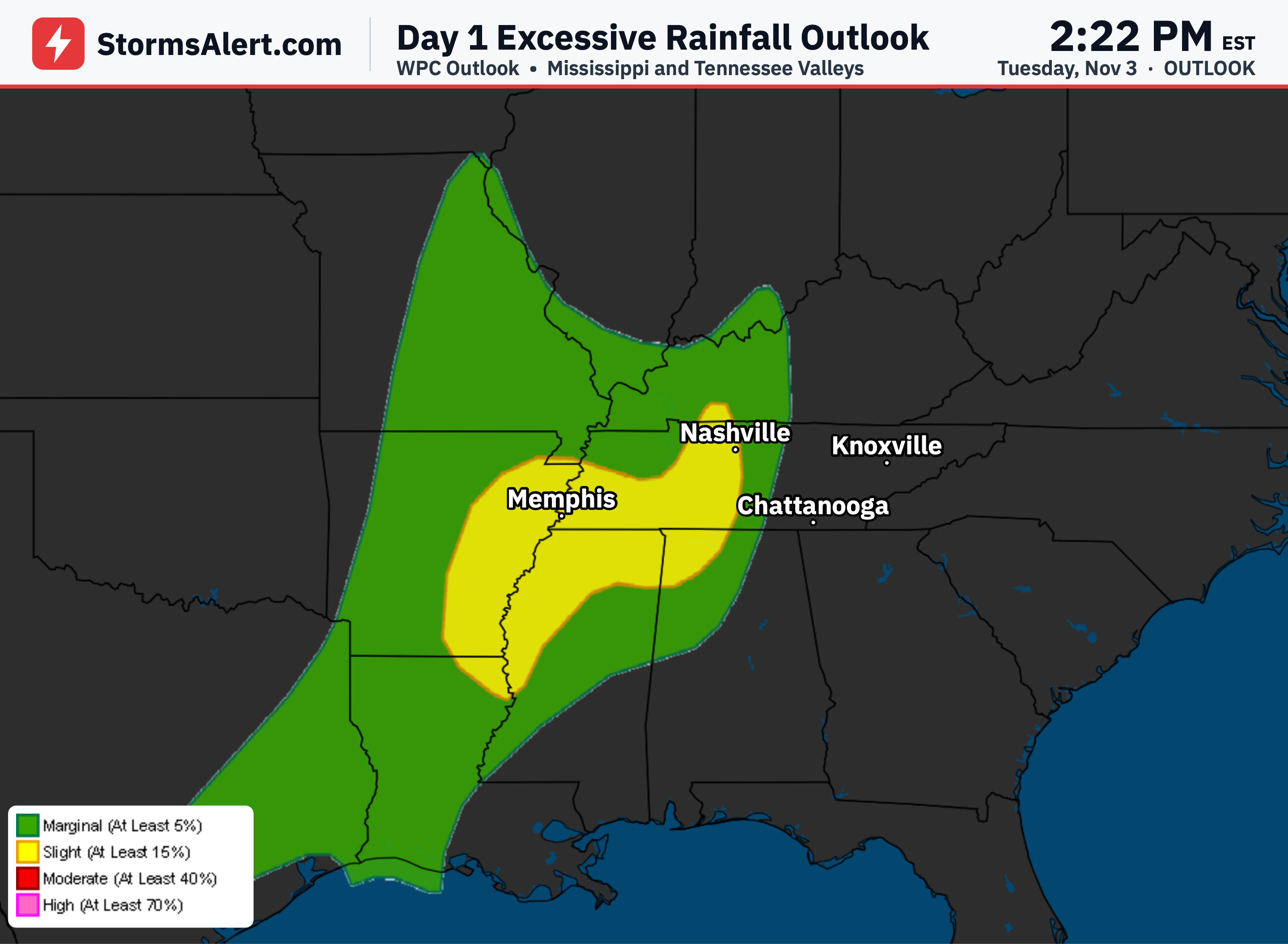
Showers and thunderstorms will continue along the front across the Southeast through the next few days. Isolated heavier rain and a chance of severe weather are possible today over portions of the region. Impacts should stay limited overall, but people outdoors this afternoon and evening should stay alert for brief stronger storms.
Ohio Valley
The same front is tracking toward the Ohio Valley this morning, focusing showers and thunderstorms there over the next few days. Isolated heavy rainfall and severe weather remain possible today across parts of the Lower Ohio Valley. Travel delays from wet roads are the main concern for most areas.
Upper Midwest
Steady rainfall is wrapping around a surface low over the Upper Midwest and Great Lakes region. This activity should produce mainly moderate rain with limited impacts through Thursday. Drivers may encounter slick spots, but widespread problems are not expected.
Florida
Locally heavy rainfall remains possible today along the southeast Florida coast. Additional flash flooding could occur because the area is still vulnerable from recent heavy rains. Fortunately, the rain is expected to taper off after today, bringing some relief.
Central Rockies
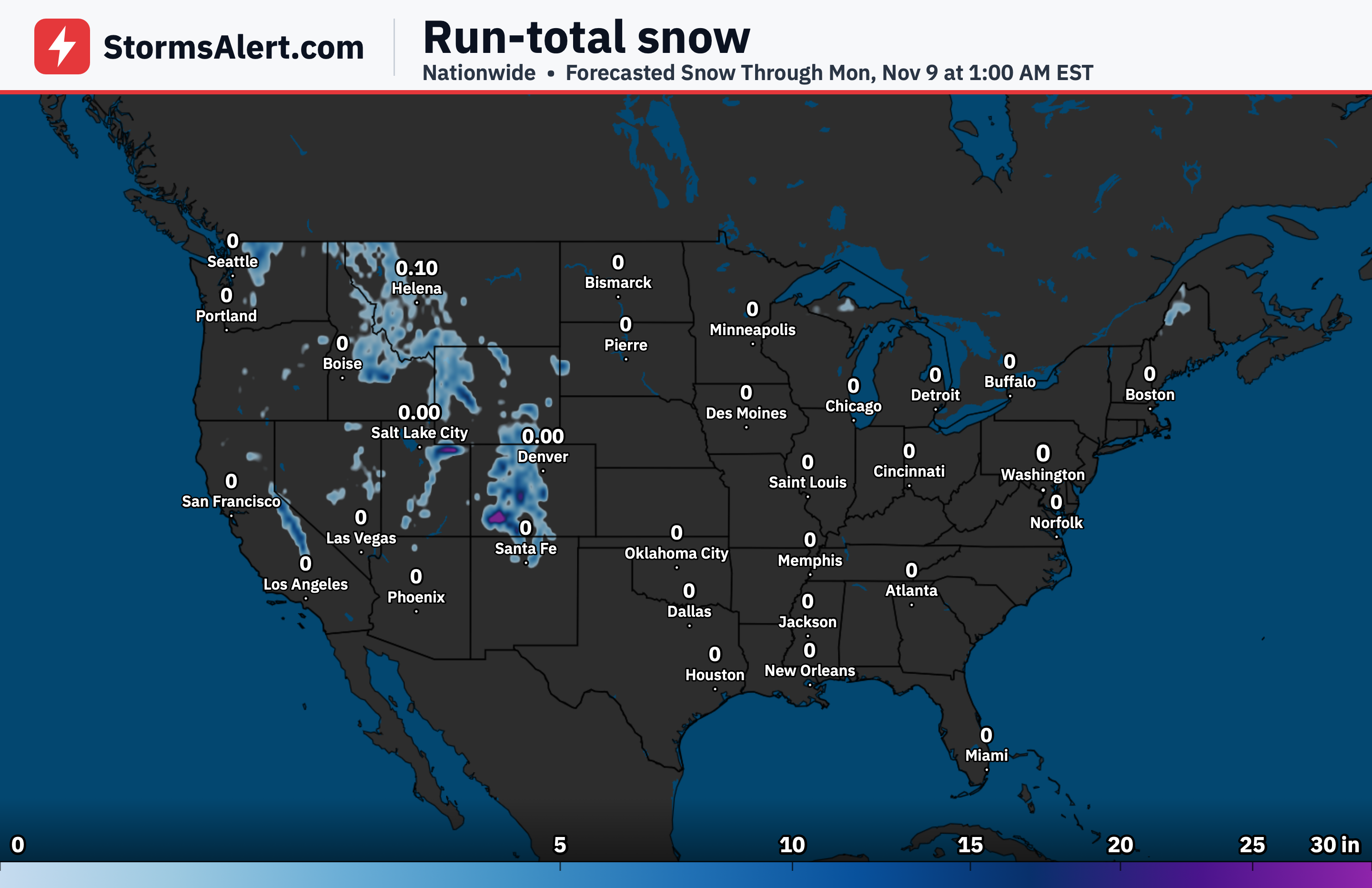
An approaching system from the Four Corners will bring increasing snowfall to the peaks of the Central Rockies. Higher elevations can expect accumulating snow through Thursday. Lower elevations will see less impact, with mainly colder temperatures arriving behind the front.
High Plains
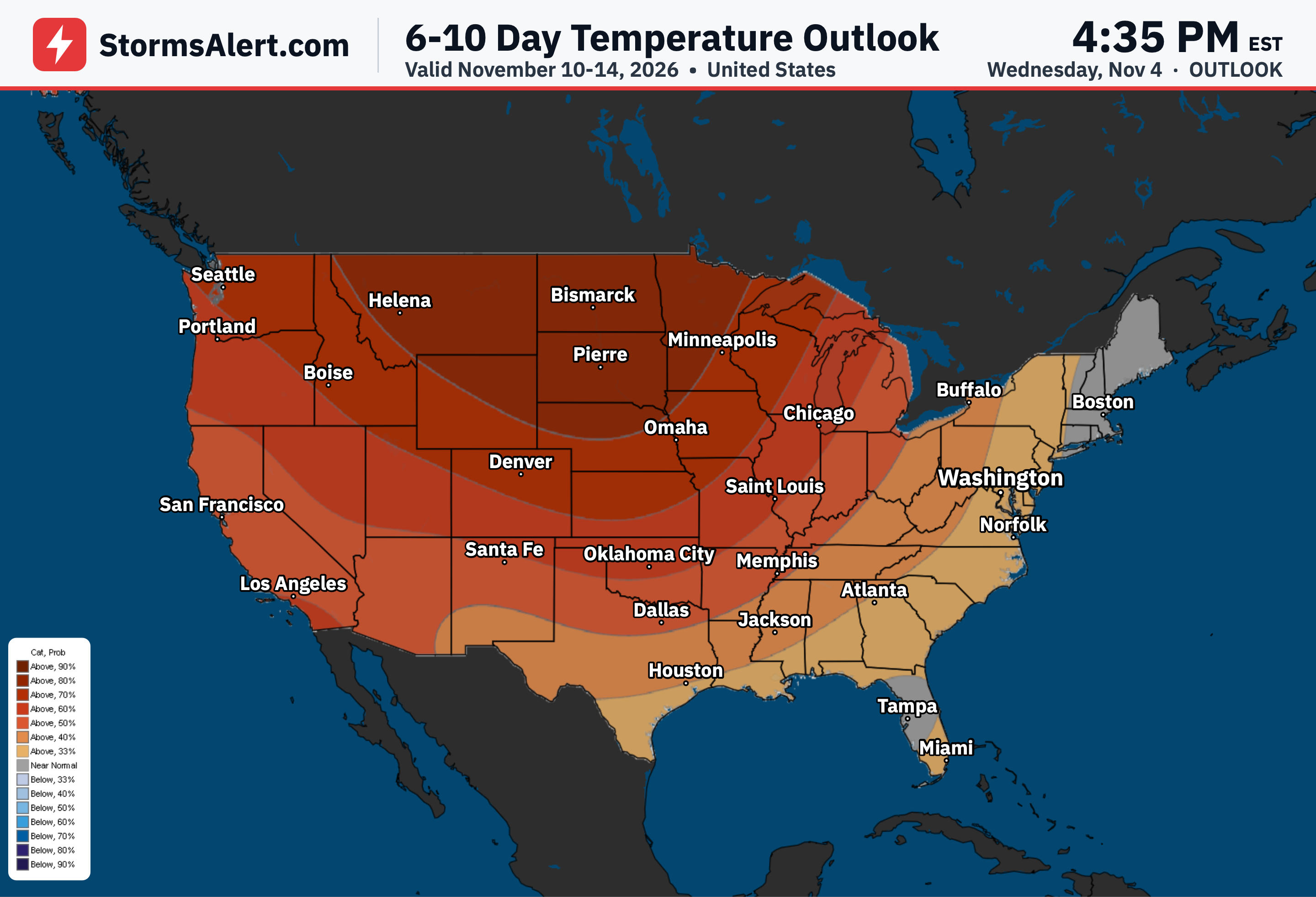
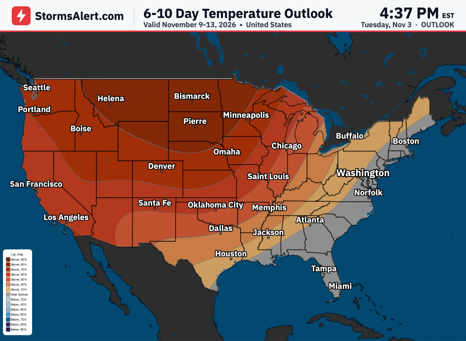
A frontal system on Thursday will spread precipitation into the lower elevations of the Central and Southern High Plains. The main effect will be to reinforce cooler air across much of the Heartland, where temperatures fall to slightly below normal over the next two days.
Northwest
A weakening Pacific front will bring modest rainfall to lower elevations and light snow to the mountains of the Northwest. Impacts from this system are expected to remain limited, so daily routines should face only minor disruptions from the light precipitation.