Isolated Strong Storms Linger Across Parts of the Southeast Into Evening
Nationwide
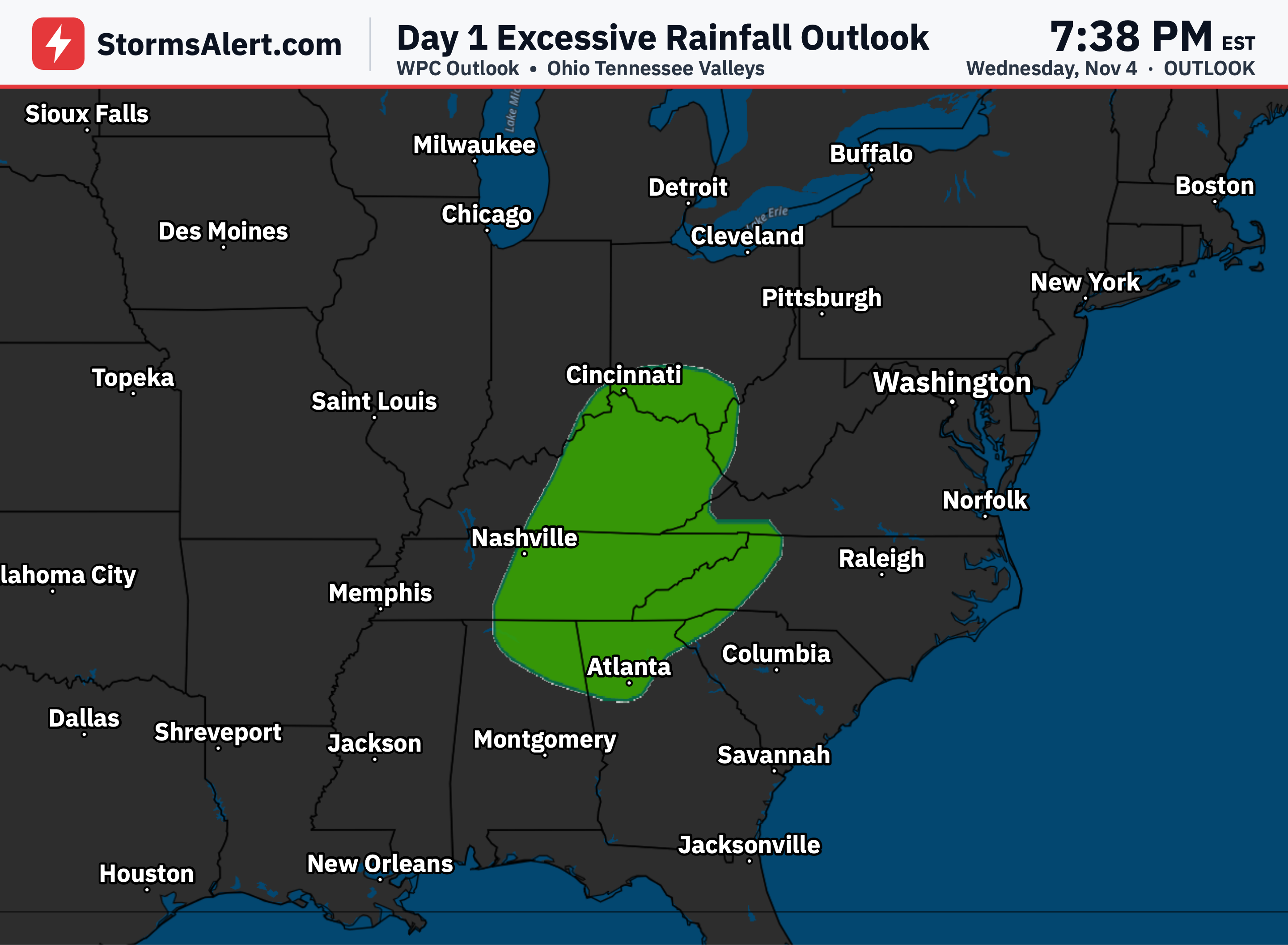
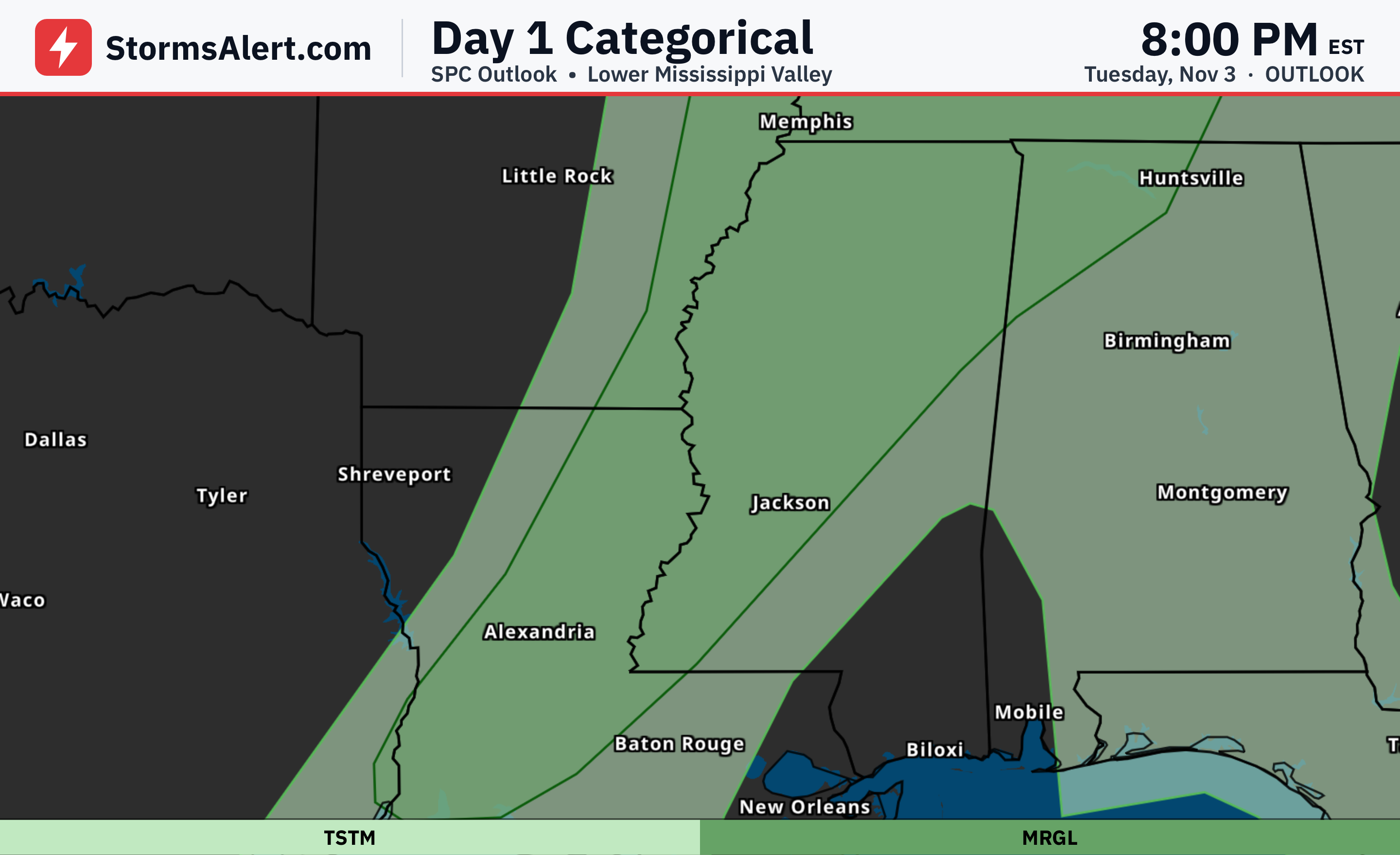
A marginal risk of severe thunderstorms continues this afternoon and evening over parts of the Southeast. Isolated severe wind gusts and a tornado or two remain possible in that area. General thunderstorms are still noted across several other states, though those are not expected to become severe.
Southeast
Scattered thunderstorms will affect portions of Alabama, Georgia, South Carolina, and eastern Tennessee into the evening. The strongest of these may produce isolated damaging wind gusts, with a tornado or two also possible in a few spots. Most storms should remain ordinary, so staying aware of local conditions is helpful.
Alabama Georgia
Along and ahead of a cold front over eastern Alabama and western Georgia, a few stronger storms remain possible this afternoon. Isolated damaging wind gusts could accompany the most intense cells. The tornado threat appears limited here, but brief stronger winds are still a concern for outdoor activities.
Georgia Carolinas
From central and northeast Georgia into upstate South Carolina, persistent storms may continue later today and into the evening. This area holds a chance for isolated damaging winds and possibly a tornado or two. Residents should monitor conditions as storms move through.
Other States
Outside the main risk zone, general thunderstorms are possible across parts of Florida, Mississippi, Louisiana, Texas, Oklahoma, Kansas, Colorado, New Mexico, Utah, Indiana, Ohio, Michigan, Kentucky, West Virginia, Virginia, Maryland, Pennsylvania, and North Carolina. These should produce mainly brief rain and gusty winds without severe impacts.